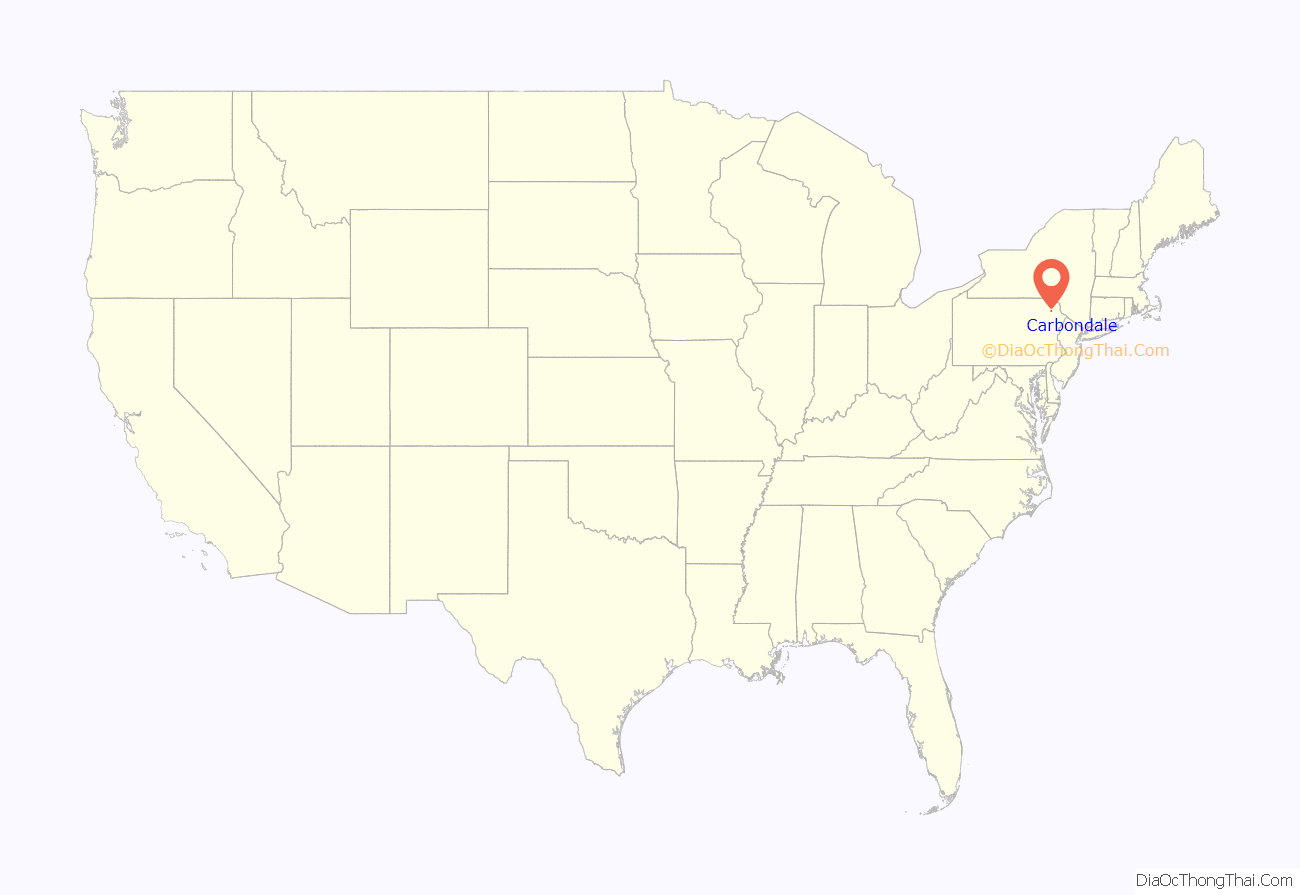
Carbondale is a city in Lackawanna County, Pennsylvania, United States. Carbondale is located approximately 15 miles due northeast of the city of Scranton in Northeastern Pennsylvania. The population was 8,828 at the 2020 census.
The land area that became Carbondale was developed by William and Maurice Wurts, the founders of the Delaware and Hudson Canal Company, during the rise of the anthracite coal mining industry in the early 19th century. It was also a major terminal of the Delaware and Hudson Railroad. Carbondale was the site of the first deep vein anthracite coal mine in the United States, and was the site of the Carbondale mine fire which burned from 1946 to the early 1970s.
Carbondale has struggled with the demise of the once-prominent coal mining industry that had once made the region a haven for immigrants seeking work. Immigrants from Wales, England, Scotland, Ireland, Italy and from continental Europe came to Carbondale in the 19th and early 20th centuries to work in the anthracite and railroading industries.
Carbondale is 92.2 miles (148.4 km) north of Allentown and 130.8 miles (210.5 km) northwest of New York City.
| Name: | Carbondale city |
|---|---|
| LSAD Code: | 25 |
| LSAD Description: | city (suffix) |
| State: | Pennsylvania |
| County: | Lackawanna County |
| Elevation: | 1,043 ft (318 m) |
| Total Area: | 3.24 sq mi (8.40 km²) |
| Land Area: | 3.24 sq mi (8.40 km²) |
| Water Area: | 0.00 sq mi (0.00 km²) |
| Total Population: | 8,828 |
| Population Density: | 2,722.17/sq mi (1,051.04/km²) |
| ZIP code: | 18407 |
| Area code: | 570 |
| FIPS code: | 4211232 |
| GNISfeature ID: | 1215315 |
Online Interactive Map
Click on ![]() to view map in "full screen" mode.
to view map in "full screen" mode.
Carbondale location map. Where is Carbondale city?
History
The Carbondale Historical Society and Museum records and maintains the city’s history. The Carbondale City Hall and Courthouse was added to the National Register of Historic Places in 1983. The Delaware and Hudson Canal Gravity Railroad Shops have been demolished, but were once listed on the National Register of Historic Places.
The Carbondale mine fire began in Carbondale in 1946. Every census since 1940 has seen a steady decline in the population of Carbondale, mostly attributed to the end of the coal industry in the area.
Notable firsts
- 1829: the Delaware and Hudson Gravity Railroad from Carbondale to Honesdale began operations on October 9, 1829. This was the first commercially successful railroad to operate in America.
- 1833: the first Saint Patrick’s Day parade in what is now Lackawanna County is held in Carbondale, as stated in the Scranton Times-Tribune: “It comes as no surprise that the Irish people of Carbondale would want to celebrate the patron saint of their homeland. … The Feb. 28, 1833, issue of the Northern Pennsylvanian, the first newspaper published in Carbondale, contained a notice to “Hibernians” of a public meeting to be held … ‘for the purpose of taking measures to celebrate St. Patrick’s Day.’ … The Carbondale parade is the first one mentioned in any history of the region that is now Lackawanna County.”
- 1850: the first eisteddfod (a Welsh musical and literary festival) in America was held in Carbondale on Christmas Day, 1850. Among the authors and musicians who attended were Daniel Davies, the Rev. John Moses, Thomas Eynon, the Rev. Thomas J. Phillips, and Edward Jones. These were the pioneer attendees of America.
- 1851: Carbondale was incorporated as a city in Luzerne County on March 15, 1851, making it the oldest city (the “Pioneer” city) in what later became Lackawanna County, and the fourth oldest city in the Commonwealth of Pennsylvania
- 1853: the first lodge in America of the ancient Welsh Philanthropic Order of True Ivorites was opened in Carbondale in the fall of 1853; the first public Ivorite celebration in America took place in Carbondale in August 1855, when a procession and other public exercises took place, under the direction of Thomas Voyle, Esquire, chief marshal, and Edward Roberts, Esquire.
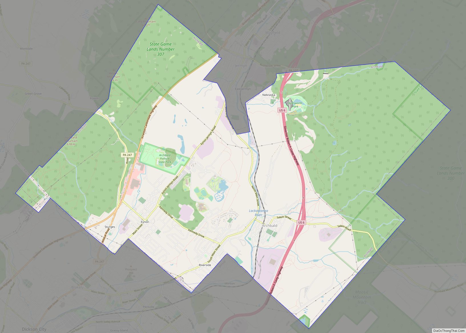
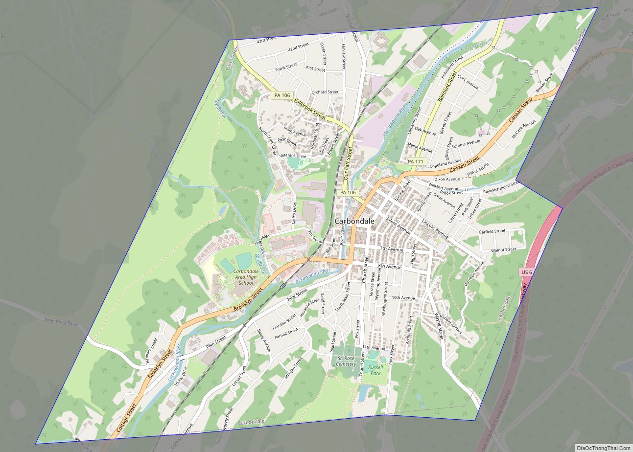
Carbondale Road Map
Carbondale city Satellite Map
Geography
According to the U.S. Census Bureau, Carbondale has a total area of 3.2 square miles (8.3 km), all land.
See also
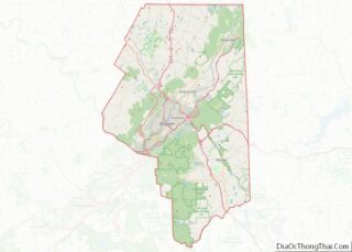
Map of Pennsylvania State and its subdivision:- Adams
- Allegheny
- Armstrong
- Beaver
- Bedford
- Berks
- Blair
- Bradford
- Bucks
- Butler
- Cambria
- Cameron
- Carbon
- Centre
- Chester
- Clarion
- Clearfield
- Clinton
- Columbia
- Crawford
- Cumberland
- Dauphin
- Delaware
- Elk
- Erie
- Fayette
- Forest
- Franklin
- Fulton
- Greene
- Huntingdon
- Indiana
- Jefferson
- Juniata
- Lackawanna
- Lancaster
- Lawrence
- Lebanon
- Lehigh
- Luzerne
- Lycoming
- Mc Kean
- Mercer
- Mifflin
- Monroe
- Montgomery
- Montour
- Northampton
- Northumberland
- Perry
- Philadelphia
- Pike
- Potter
- Schuylkill
- Snyder
- Somerset
- Sullivan
- Susquehanna
- Tioga
- Union
- Venango
- Warren
- Washington
- Wayne
- Westmoreland
- Wyoming
- York
- Alabama
- Alaska
- Arizona
- Arkansas
- California
- Colorado
- Connecticut
- Delaware
- District of Columbia
- Florida
- Georgia
- Hawaii
- Idaho
- Illinois
- Indiana
- Iowa
- Kansas
- Kentucky
- Louisiana
- Maine
- Maryland
- Massachusetts
- Michigan
- Minnesota
- Mississippi
- Missouri
- Montana
- Nebraska
- Nevada
- New Hampshire
- New Jersey
- New Mexico
- New York
- North Carolina
- North Dakota
- Ohio
- Oklahoma
- Oregon
- Pennsylvania
- Rhode Island
- South Carolina
- South Dakota
- Tennessee
- Texas
- Utah
- Vermont
- Virginia
- Washington
- West Virginia
- Wisconsin
- Wyoming
