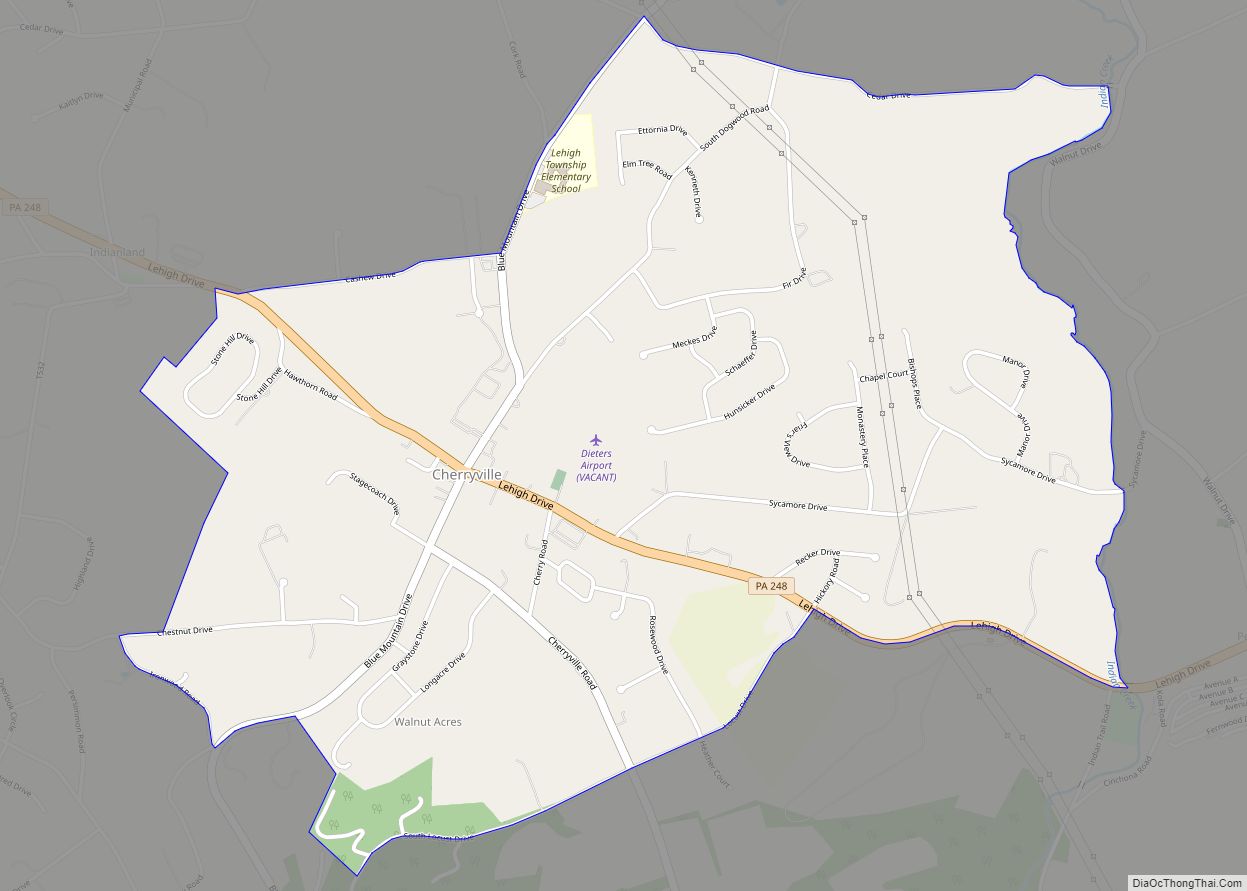
Cherryville is a census-designated place in Lehigh Township in Northampton County, Pennsylvania. Its population was 1,618 as of the 2020 U.S. census.
The village is located approximately 3 miles (4.8 km) east of Walnutport, 12.5 miles (20.1 km) north of Allentown and 5.5 miles (8.9 km) northwest of Northampton. It is situated along Pennsylvania Route 248, between the villages of Indianland and Pennsville. The ZIP Code is 18035.
It is part of the Lehigh Valley metropolitan area, which had a population of 861,899 and was the 68th-most populous metropolitan area in the U.S. as of the 2020 census.
| Name: | Cherryville CDP |
|---|---|
| LSAD Code: | 57 |
| LSAD Description: | CDP (suffix) |
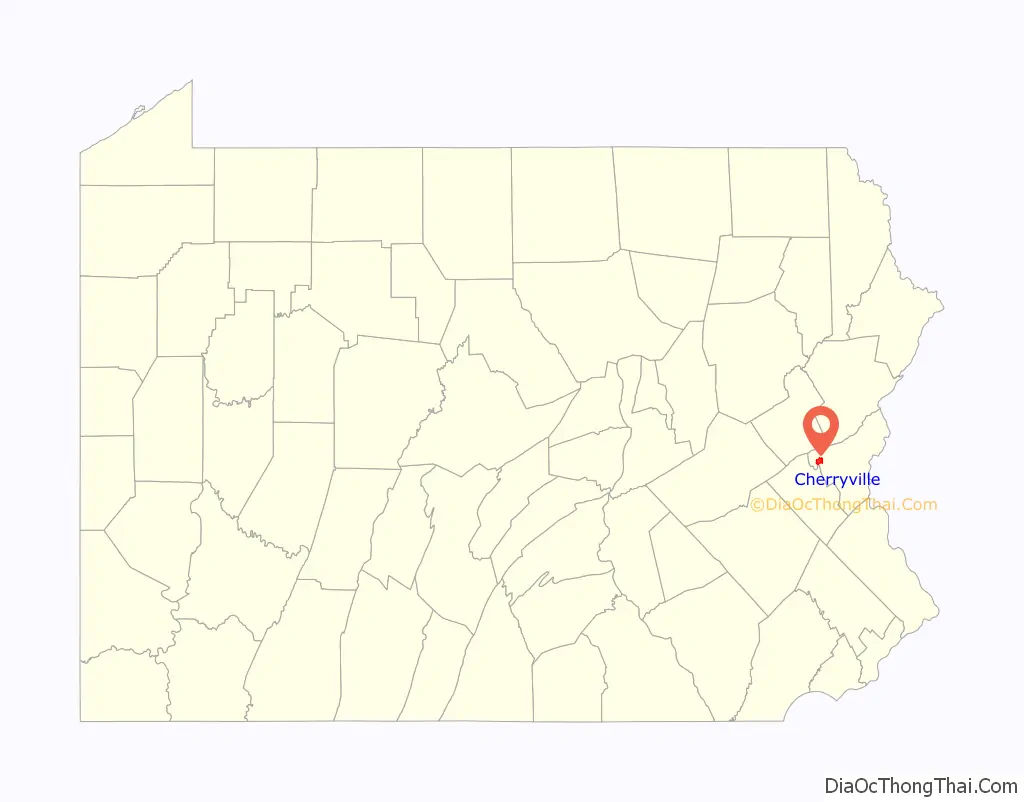
| State: | Pennsylvania |
| County: | Northampton County |
| Land Area: | 2.62 sq mi (6.79 km²) |
| Water Area: | 0.01 sq mi (0.02 km²) |
| Population Density: | 617.32/sq mi (238.38/km²) |
| ZIP code: | 18035 |
| Area code: | 610 |
| FIPS code: | 4213168 |
Online Interactive Map
Click on ![]() to view map in "full screen" mode.
to view map in "full screen" mode.
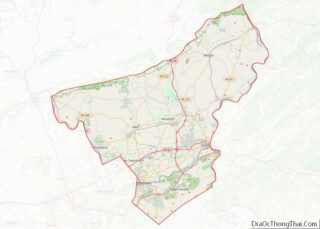
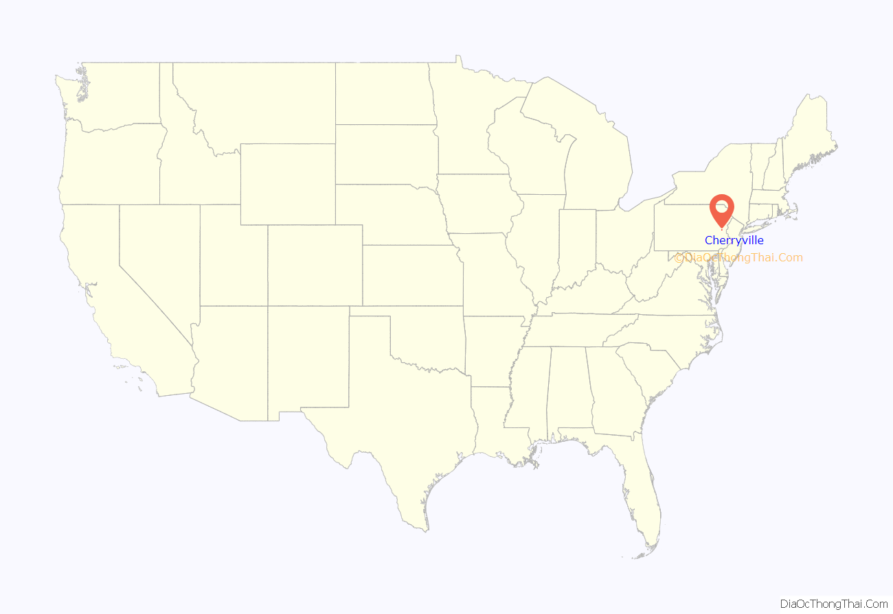
Cherryville location map. Where is Cherryville CDP?
History
The village was founded around 1804, making it one of the township’s earliest settlements. The name Cherryville is believed to have been taken from a road called Cherry Row Lane which was bordered by 100 cherry trees. A post office was established here in 1816. By the 1870s, the village included 25 houses, two carriage shops, two blacksmith shops, a wheel shop, a tailor, and four stores.
Cherryville Road Map
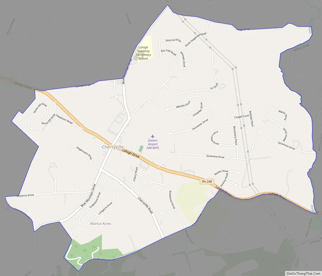
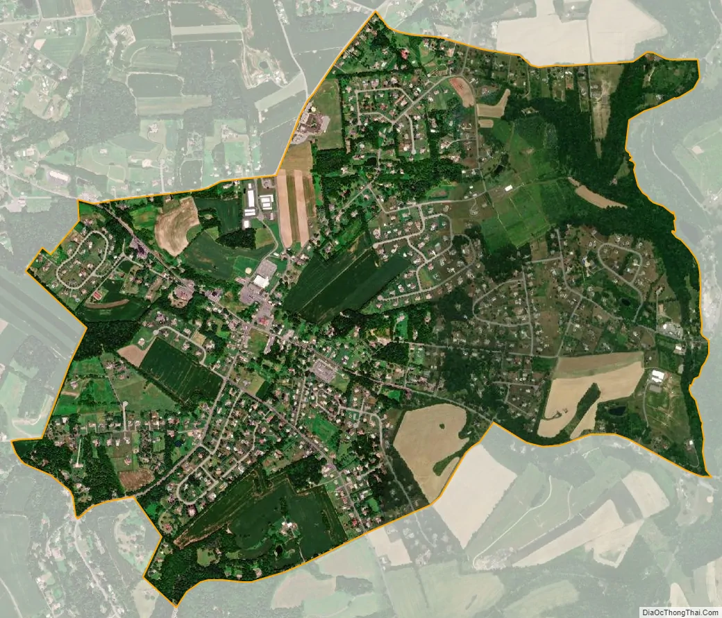
Cherryville city Satellite Map
See also
Map of Pennsylvania State and its subdivision:- Adams
- Allegheny
- Armstrong
- Beaver
- Bedford
- Berks
- Blair
- Bradford
- Bucks
- Butler
- Cambria
- Cameron
- Carbon
- Centre
- Chester
- Clarion
- Clearfield
- Clinton
- Columbia
- Crawford
- Cumberland
- Dauphin
- Delaware
- Elk
- Erie
- Fayette
- Forest
- Franklin
- Fulton
- Greene
- Huntingdon
- Indiana
- Jefferson
- Juniata
- Lackawanna
- Lancaster
- Lawrence
- Lebanon
- Lehigh
- Luzerne
- Lycoming
- Mc Kean
- Mercer
- Mifflin
- Monroe
- Montgomery
- Montour
- Northampton
- Northumberland
- Perry
- Philadelphia
- Pike
- Potter
- Schuylkill
- Snyder
- Somerset
- Sullivan
- Susquehanna
- Tioga
- Union
- Venango
- Warren
- Washington
- Wayne
- Westmoreland
- Wyoming
- York
- Alabama
- Alaska
- Arizona
- Arkansas
- California
- Colorado
- Connecticut
- Delaware
- District of Columbia
- Florida
- Georgia
- Hawaii
- Idaho
- Illinois
- Indiana
- Iowa
- Kansas
- Kentucky
- Louisiana
- Maine
- Maryland
- Massachusetts
- Michigan
- Minnesota
- Mississippi
- Missouri
- Montana
- Nebraska
- Nevada
- New Hampshire
- New Jersey
- New Mexico
- New York
- North Carolina
- North Dakota
- Ohio
- Oklahoma
- Oregon
- Pennsylvania
- Rhode Island
- South Carolina
- South Dakota
- Tennessee
- Texas
- Utah
- Vermont
- Virginia
- Washington
- West Virginia
- Wisconsin
- Wyoming