Conshohocken (/ˌkɒnʃəˈhɒkən/ kon-shə-HOK-ən; Lenape: Kanshihàkink) is a borough on the Schuylkill River in Montgomery County, Pennsylvania in suburban Philadelphia. Historically a large mill town and industrial and manufacturing center, after the decline of industry in recent years Conshohocken has developed into a center of riverfront commercial and residential development. In the regional slang, it is sometimes referred to by the colloquial nickname Conshy (/ˈkɒnʃi/ KON-shee).
The sister community of West Conshohocken is located on the opposite side of the Schuylkill River.
| Name: | Conshohocken borough |
|---|---|
| LSAD Code: | 21 |
| LSAD Description: | borough (suffix) |
| State: | Pennsylvania |
| County: | Montgomery County |
| Founded: | 1830 |
| Incorporated: | 1850 |
| Elevation: | 197 ft (60 m) |
| Total Area: | 1.04 sq mi (2.69 km²) |
| Land Area: | 1.00 sq mi (2.60 km²) |
| Water Area: | 0.04 sq mi (0.09 km²) |
| Total Population: | 9,261 |
| Population Density: | 9,224.10/sq mi (3,560.61/km²) |
| ZIP code: | 19428 |
| Area code: | 610 and 484 |
| FIPS code: | 4215848 |
| Website: | www.conshohockenpa.org |
Online Interactive Map
Click on ![]() to view map in "full screen" mode.
to view map in "full screen" mode.
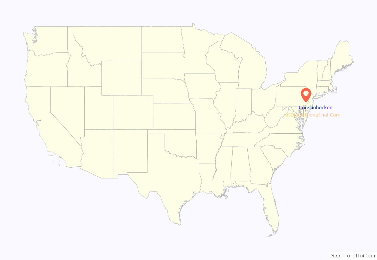
Conshohocken location map. Where is Conshohocken borough?

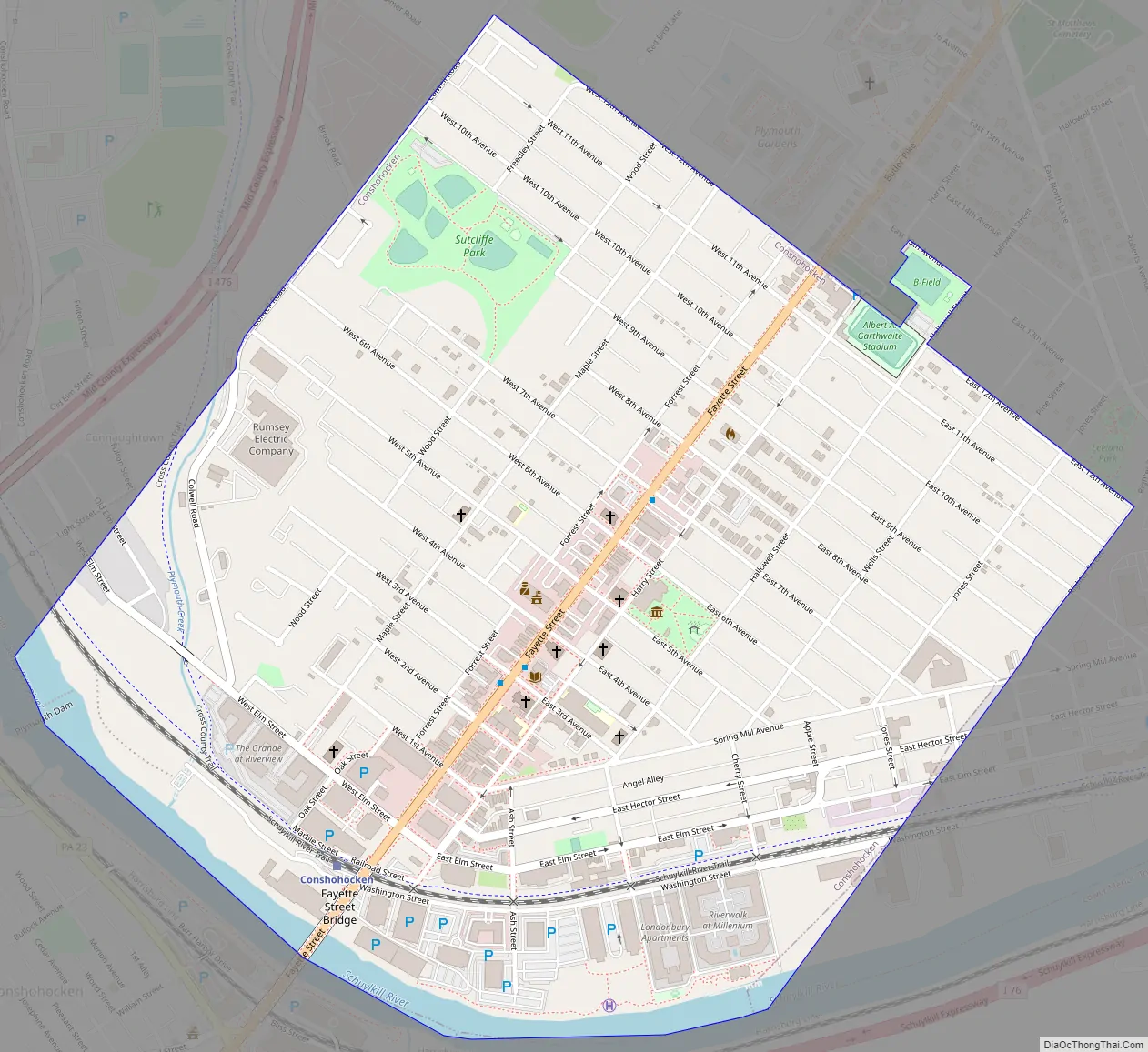
Conshohocken Road Map
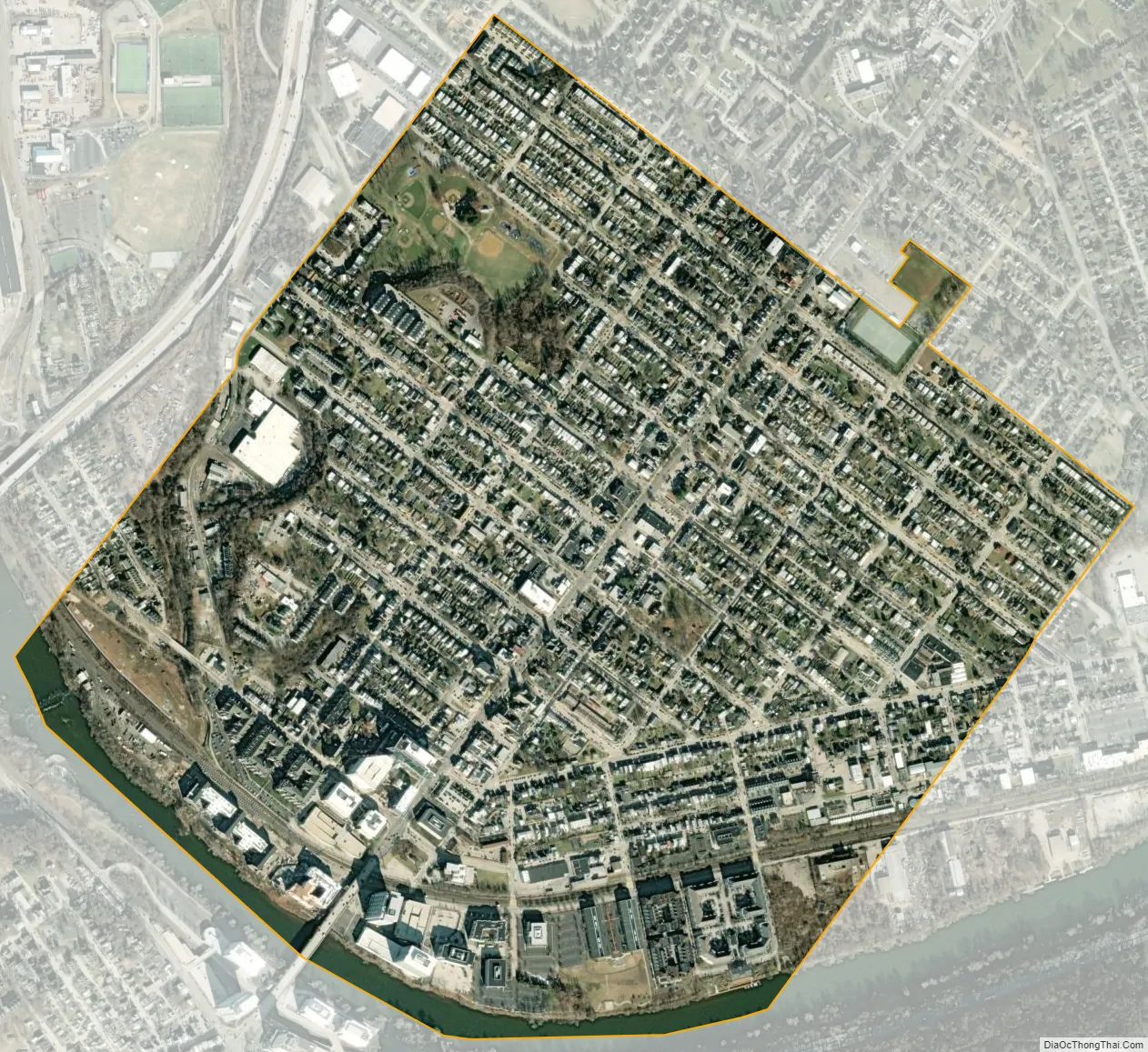
Conshohocken city Satellite Map
Geography
Conshohocken is located at 40°4′38″N 75°18′7″W / 40.07722°N 75.30194°W / 40.07722; -75.30194 (40.077135, -75.302009). According to the U.S. Census Bureau, the borough has a total area of 1.0 square mile (2.6 km), of which 1.0 square mile (2.6 km) is land and 0.04 square miles (0.10 km) (2.97%) is water.
Conshohocken fronts the Schuylkill River. A rather sharp bend in the river at Conshohocken gives the Schuylkill Expressway, which hugs the far bank, a curve that is well known to regional radio listeners as the Conshohocken curve. Railroad tracks line both river banks, reflecting the valley’s heavy industrial past as well as its continuing rail activity including Norfolk Southern and SEPTA. A rail trail portion of the Schuylkill River Trail also passes through.
See also
Map of Pennsylvania State and its subdivision:- Adams
- Allegheny
- Armstrong
- Beaver
- Bedford
- Berks
- Blair
- Bradford
- Bucks
- Butler
- Cambria
- Cameron
- Carbon
- Centre
- Chester
- Clarion
- Clearfield
- Clinton
- Columbia
- Crawford
- Cumberland
- Dauphin
- Delaware
- Elk
- Erie
- Fayette
- Forest
- Franklin
- Fulton
- Greene
- Huntingdon
- Indiana
- Jefferson
- Juniata
- Lackawanna
- Lancaster
- Lawrence
- Lebanon
- Lehigh
- Luzerne
- Lycoming
- Mc Kean
- Mercer
- Mifflin
- Monroe
- Montgomery
- Montour
- Northampton
- Northumberland
- Perry
- Philadelphia
- Pike
- Potter
- Schuylkill
- Snyder
- Somerset
- Sullivan
- Susquehanna
- Tioga
- Union
- Venango
- Warren
- Washington
- Wayne
- Westmoreland
- Wyoming
- York
- Alabama
- Alaska
- Arizona
- Arkansas
- California
- Colorado
- Connecticut
- Delaware
- District of Columbia
- Florida
- Georgia
- Hawaii
- Idaho
- Illinois
- Indiana
- Iowa
- Kansas
- Kentucky
- Louisiana
- Maine
- Maryland
- Massachusetts
- Michigan
- Minnesota
- Mississippi
- Missouri
- Montana
- Nebraska
- Nevada
- New Hampshire
- New Jersey
- New Mexico
- New York
- North Carolina
- North Dakota
- Ohio
- Oklahoma
- Oregon
- Pennsylvania
- Rhode Island
- South Carolina
- South Dakota
- Tennessee
- Texas
- Utah
- Vermont
- Virginia
- Washington
- West Virginia
- Wisconsin
- Wyoming


