Dallas is a borough in Luzerne County, Pennsylvania, United States. The population was 2,692 at the 2020 census. The local government describes the borough as the “Pride” of the Back Mountain (a 118 square mile region in northern Luzerne County). The area includes the townships of Dallas, Franklin, Jackson, Kingston, Lake, and Lehman. The region also includes the boroughs of Dallas and Harveys Lake. Dallas is in the vicinity of Misericordia University and Dallas State Correctional Institution (which holds 2,150 inmates).
| Name: | Dallas borough |
|---|---|
| LSAD Code: | 21 |
| LSAD Description: | borough (suffix) |
| State: | Pennsylvania |
| County: | Luzerne County |
| Incorporated: | 1879 |
| Elevation: | 1,243 ft (379 m) |
| Total Area: | 2.39 sq mi (6.19 km²) |
| Land Area: | 2.30 sq mi (5.96 km²) |
| Water Area: | 0.09 sq mi (0.22 km²) |
| Total Population: | 2,694 |
| Population Density: | 1,170.29/sq mi (451.94/km²) |
| ZIP code: | 18612 |
| Area code: | 570 |
| FIPS code: | 4218048 |
| Website: | www.dallasborough.org |
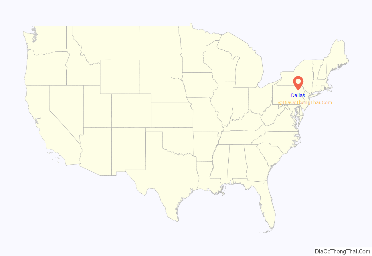
Online Interactive Map
Click on ![]() to view map in "full screen" mode.
to view map in "full screen" mode.
Dallas location map. Where is Dallas borough?

History
Dallas was first settled in 1797. It was later incorporated as a borough on April 21, 1879, from land entirely within Dallas Township. The township had been formed in 1817 and was named for Alexander J. Dallas, who was the 6th United States Secretary of the Treasury and the father of George M. Dallas, the vice president of James Polk.
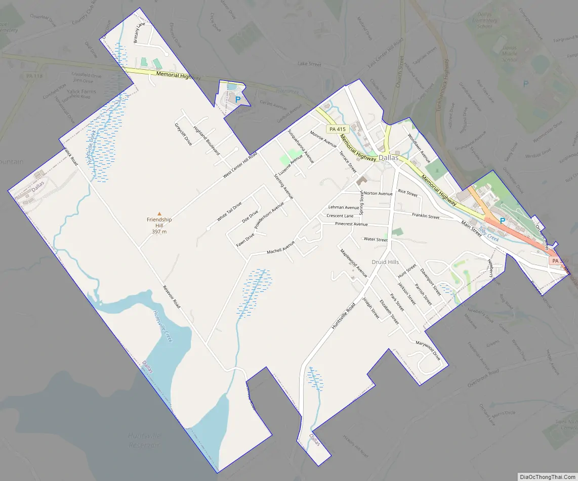
Dallas Road Map
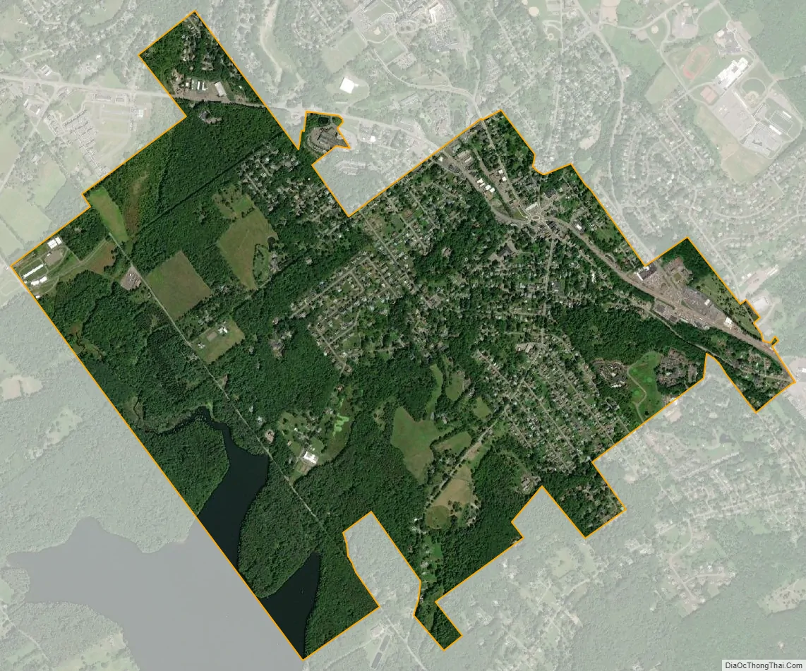
Dallas city Satellite Map
Geography
Dallas is located at 41°20′0″N 75°58′0″W / 41.33333°N 75.96667°W / 41.33333; -75.96667.
According to the United States Census Bureau, the borough has a total area of 2.4 square miles (6.2 km), of which 2.3 square miles (6.0 km) is land and 0.1 square miles (0.26 km), or 3.78%, is water.
Most of Dallas is urbanized; however, there are pockets of forests scattered throughout the borough. PA 309 and PA 415 travel through the northern and eastern sections of Dallas. The Huntsville Reservoir makes up the community’s southwestern border. Dallas Township borders the borough from the north, east, and south. Lehman Township borders the community from the west.
See also
Map of Pennsylvania State and its subdivision:- Adams
- Allegheny
- Armstrong
- Beaver
- Bedford
- Berks
- Blair
- Bradford
- Bucks
- Butler
- Cambria
- Cameron
- Carbon
- Centre
- Chester
- Clarion
- Clearfield
- Clinton
- Columbia
- Crawford
- Cumberland
- Dauphin
- Delaware
- Elk
- Erie
- Fayette
- Forest
- Franklin
- Fulton
- Greene
- Huntingdon
- Indiana
- Jefferson
- Juniata
- Lackawanna
- Lancaster
- Lawrence
- Lebanon
- Lehigh
- Luzerne
- Lycoming
- Mc Kean
- Mercer
- Mifflin
- Monroe
- Montgomery
- Montour
- Northampton
- Northumberland
- Perry
- Philadelphia
- Pike
- Potter
- Schuylkill
- Snyder
- Somerset
- Sullivan
- Susquehanna
- Tioga
- Union
- Venango
- Warren
- Washington
- Wayne
- Westmoreland
- Wyoming
- York
- Alabama
- Alaska
- Arizona
- Arkansas
- California
- Colorado
- Connecticut
- Delaware
- District of Columbia
- Florida
- Georgia
- Hawaii
- Idaho
- Illinois
- Indiana
- Iowa
- Kansas
- Kentucky
- Louisiana
- Maine
- Maryland
- Massachusetts
- Michigan
- Minnesota
- Mississippi
- Missouri
- Montana
- Nebraska
- Nevada
- New Hampshire
- New Jersey
- New Mexico
- New York
- North Carolina
- North Dakota
- Ohio
- Oklahoma
- Oregon
- Pennsylvania
- Rhode Island
- South Carolina
- South Dakota
- Tennessee
- Texas
- Utah
- Vermont
- Virginia
- Washington
- West Virginia
- Wisconsin
- Wyoming


