Dravosburg (/drəˈvoʊzbɜːrɡ/ druh-VOZE-burg) is a borough in Allegheny County, Pennsylvania, United States, and is part of the Pittsburgh Metro Area. The population was 1,612 at the 2020 census. Dravosburg is located along the Monongahela River.
| Name: | Dravosburg borough |
|---|---|
| LSAD Code: | 21 |
| LSAD Description: | borough (suffix) |
| State: | Pennsylvania |
| County: | Allegheny County |
| Total Area: | 1.06 sq mi (2.75 km²) |
| Land Area: | 0.97 sq mi (2.50 km²) |
| Water Area: | 0.10 sq mi (0.25 km²) |
| Total Population: | 1,612 |
| Population Density: | 1,668.74/sq mi (644.06/km²) |
| FIPS code: | 4219856 |
| Website: | www.dravosburg.org |
Online Interactive Map
Click on ![]() to view map in "full screen" mode.
to view map in "full screen" mode.
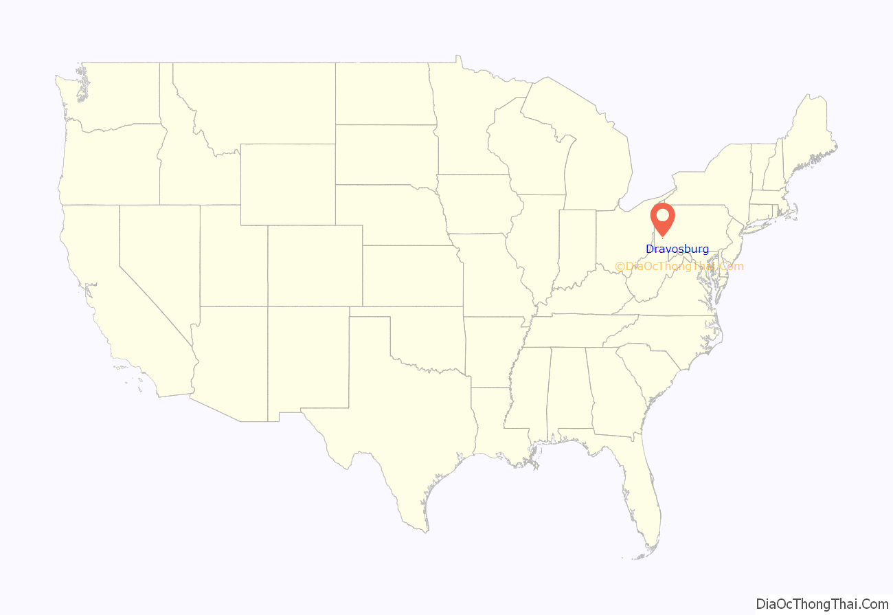
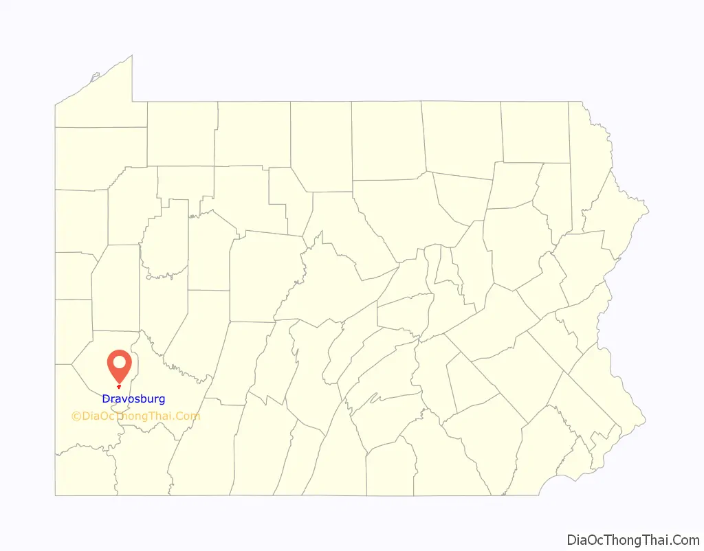
Dravosburg location map. Where is Dravosburg borough?
History
A post office called Dravosburg(h) has been in operation since 1862. The borough was named for John F. Dravo, a mine owner.
Dravosburg Road Map
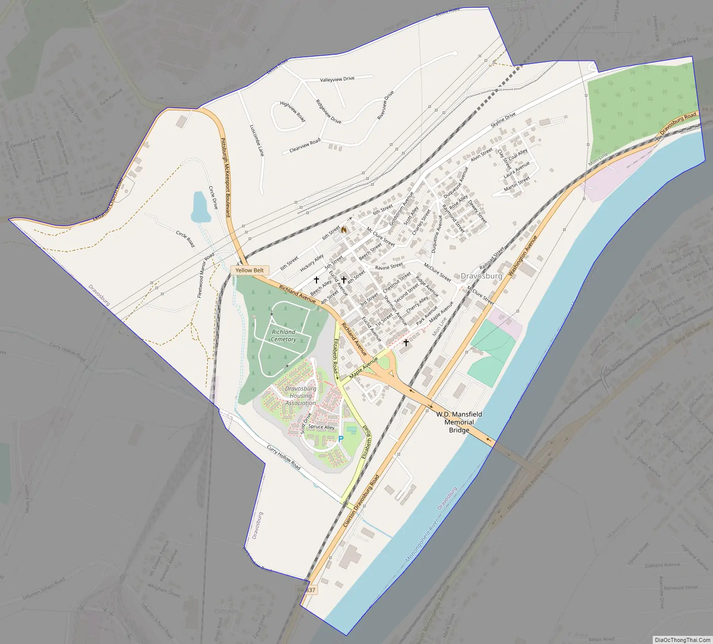
Dravosburg city Satellite Map

Geography
Dravosburg is located at 40°21′1″N 79°53′22″W / 40.35028°N 79.88944°W / 40.35028; -79.88944 (40.350219, -79.889391).
According to the United States Census Bureau, the borough has a total area of 1.1 square miles (2.8 km), of which 1.0 square mile (2.6 km) is land and 0.1 square miles (0.26 km), or 9.73%, is water.
Dravosburg is bounded on the north, west and south by West Mifflin. To the east is the Monongahela River and the city of McKeesport. The cities of Duquesne and Clairton are also nearby.
See also
Map of Pennsylvania State and its subdivision:- Adams
- Allegheny
- Armstrong
- Beaver
- Bedford
- Berks
- Blair
- Bradford
- Bucks
- Butler
- Cambria
- Cameron
- Carbon
- Centre
- Chester
- Clarion
- Clearfield
- Clinton
- Columbia
- Crawford
- Cumberland
- Dauphin
- Delaware
- Elk
- Erie
- Fayette
- Forest
- Franklin
- Fulton
- Greene
- Huntingdon
- Indiana
- Jefferson
- Juniata
- Lackawanna
- Lancaster
- Lawrence
- Lebanon
- Lehigh
- Luzerne
- Lycoming
- Mc Kean
- Mercer
- Mifflin
- Monroe
- Montgomery
- Montour
- Northampton
- Northumberland
- Perry
- Philadelphia
- Pike
- Potter
- Schuylkill
- Snyder
- Somerset
- Sullivan
- Susquehanna
- Tioga
- Union
- Venango
- Warren
- Washington
- Wayne
- Westmoreland
- Wyoming
- York
- Alabama
- Alaska
- Arizona
- Arkansas
- California
- Colorado
- Connecticut
- Delaware
- District of Columbia
- Florida
- Georgia
- Hawaii
- Idaho
- Illinois
- Indiana
- Iowa
- Kansas
- Kentucky
- Louisiana
- Maine
- Maryland
- Massachusetts
- Michigan
- Minnesota
- Mississippi
- Missouri
- Montana
- Nebraska
- Nevada
- New Hampshire
- New Jersey
- New Mexico
- New York
- North Carolina
- North Dakota
- Ohio
- Oklahoma
- Oregon
- Pennsylvania
- Rhode Island
- South Carolina
- South Dakota
- Tennessee
- Texas
- Utah
- Vermont
- Virginia
- Washington
- West Virginia
- Wisconsin
- Wyoming


