Edinboro is a borough in Erie County, Pennsylvania, United States. It is part of the Erie Metropolitan Statistical Area. As home to Edinboro University of Pennsylvania, it is a small college town, as well as a resort community. The population was 4,920 at the 2020 census, down from 6,438 in 2010.
The town is located in the snowbelt region south of Lake Erie.
| Name: | Edinboro borough |
|---|---|
| LSAD Code: | 21 |
| LSAD Description: | borough (suffix) |
| State: | Pennsylvania |
| County: | Erie County |
| Total Area: | 2.40 sq mi (6.23 km²) |
| Land Area: | 2.29 sq mi (5.92 km²) |
| Water Area: | 0.12 sq mi (0.31 km²) |
| Total Population: | 4,964 |
| Population Density: | 2,170.53/sq mi (837.91/km²) |
| ZIP code: | 16412 |
| Area code: | 814 |
| FIPS code: | 4222608 |
| Website: | www.edinboro.net |
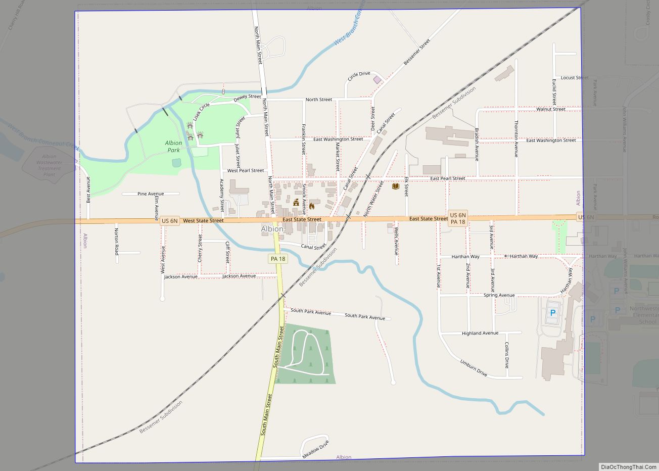
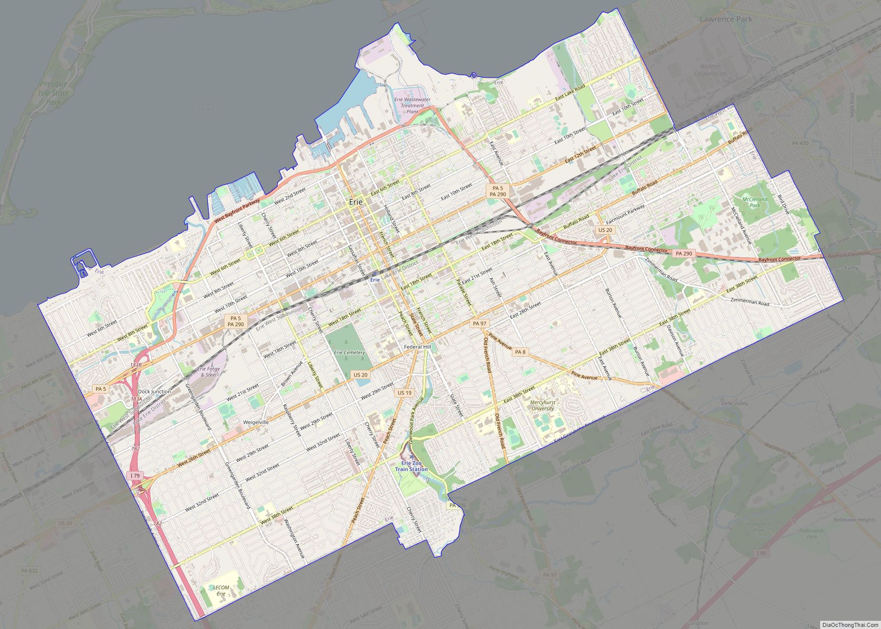
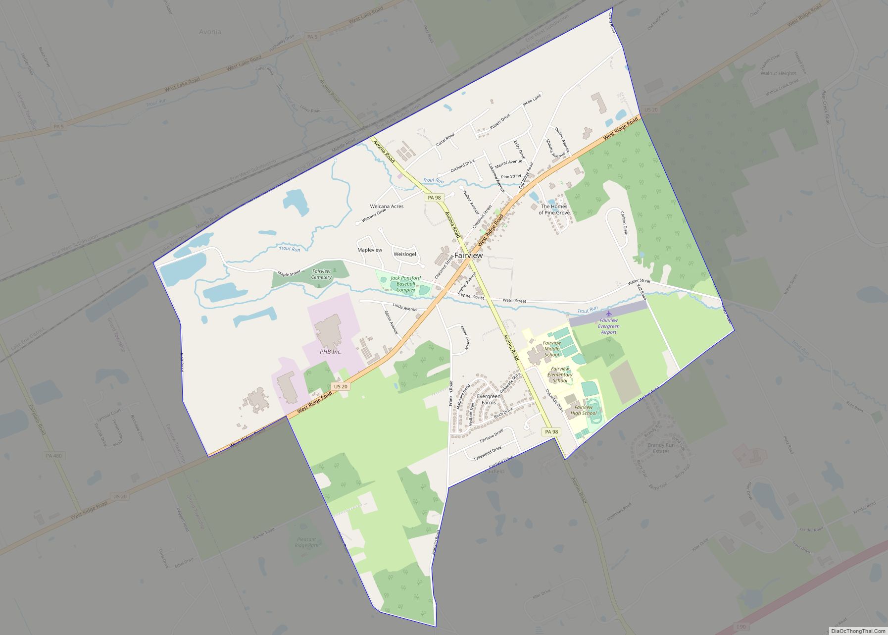
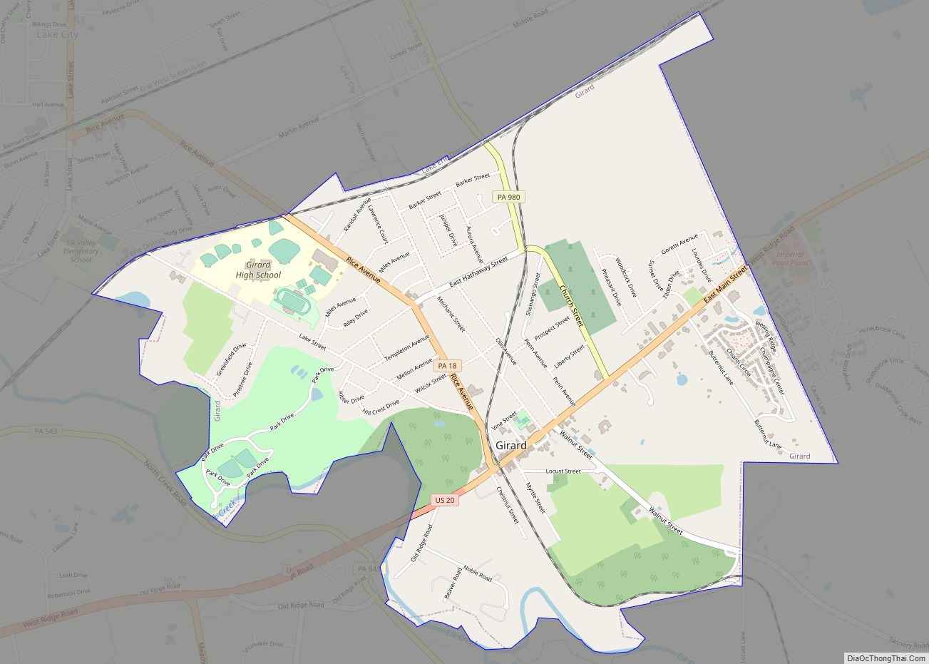
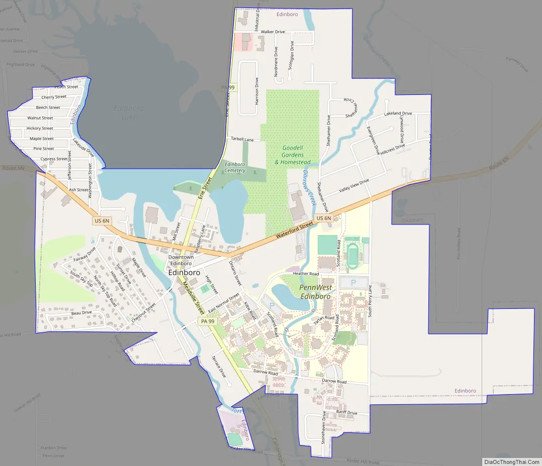
Online Interactive Map
Click on ![]() to view map in "full screen" mode.
to view map in "full screen" mode.
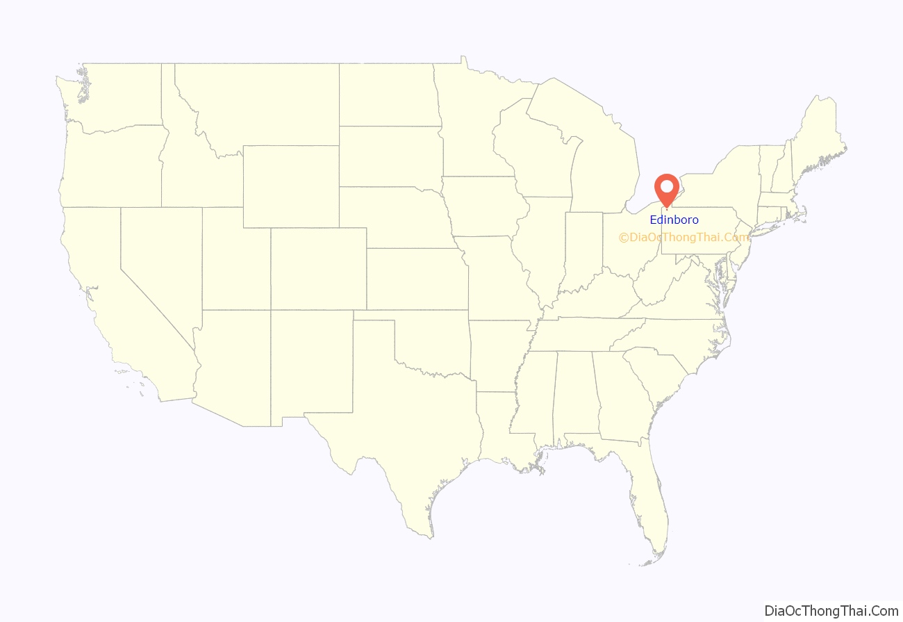
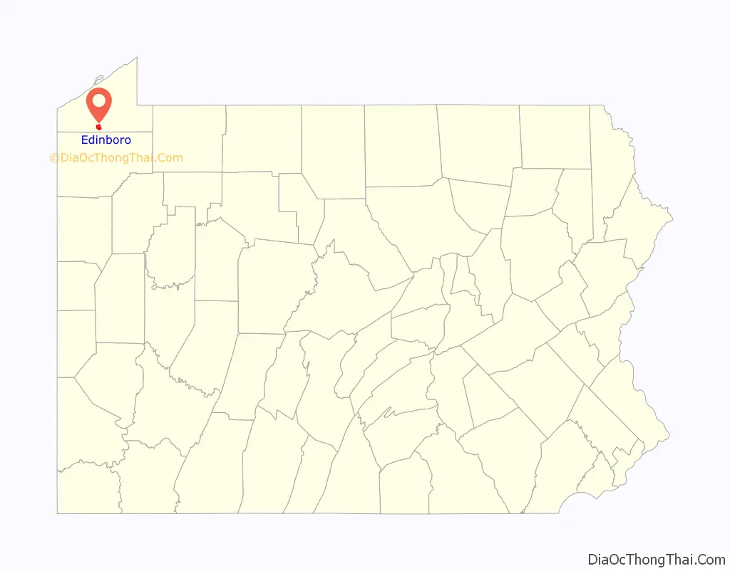
Edinboro location map. Where is Edinboro borough?
History
Members of the Eriez, Iroquois, and Cornplanter Native tribes were the first known residents of the area that is now known as Edinboro. The tribes called the region Conneauttee, meaning “land of the living snowflake”. William Culbertson moved to the area in 1801, building a gristmill near Conneauttee Lake.
From 1801 to 1825, the roots of the town were formed when congregations of Presbyterian and Methodist churches began moving to the area and building houses and churches, some of which are still around today. The original resident, William Culbertson, built the first school around 1825. The first post office was built and formed around 1837 when it was included in the Erie and Crawford counties’ postal routes. The farms helped the area grow during this time, and the area was incorporated in 1840 with a population of 232 at about 500 acres (200 ha). A turnpike between Erie and Meadville was constructed in the 1840s; it was made of wooden planks, and completed in 1852. In 1857, an academy was started, which was renamed the State Normal School in 1861, and which would eventually become Edinboro University of Pennsylvania.
A trolley station was built by the railway company. That company built an electric railway in the 1900s which drew more traffic to the area. Fires in 1902, 1905, and 1909, destroyed most of the wood-framed, commercial buildings, many of which were replaced with brick structures that are still standing today. Many more houses, condominiums, and apartments were constructed from 1910 through the 1950s, as Edinboro promoted itself, mainly to the surrounding populations in Pittsburgh and Erie as a resort area by the lake. This promotion which boosted tourism, while the college gained enrollment and drew more residents to the town.
The 1960s was a significant growth period for the town, as around 400 building permits were issued for both housing and business. A post office was built in 1960, and evolved to first class status by 1966. The demand for water consumption had tripled throughout this period, and prompted the construction of a new sewage plant in 1970.
The borough’s home rule charter was adopted in 1974, with a new municipal building being constructed in 1975. In 1980, the census placed Edinboro first in population growth in Erie County, with a population increase of 30% from 1970 to 1980 to a total of 6,324. The businesses in the borough continued to grow, and in 1983, Edinboro State College received accreditation by the state and was renamed Edinboro University of Pennsylvania. Between the 1980s and 2000s, Edinboro University has grown to be northwestern Pennsylvania’s largest university and is a key factor in drawing people to the area. Today, Edinboro is known as a college town in the winter and lake resort during the summer.
Academy Hall was listed on the National Register of Historic Places in 2006.
Edinboro Road Map
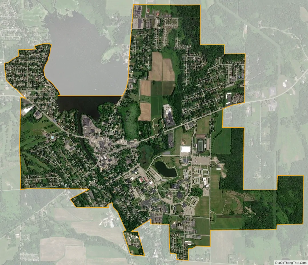
Edinboro city Satellite Map
Geography
Edinboro is located in southern Erie County at 41°52′36″N 80°7′54″W / 41.87667°N 80.13167°W / 41.87667; -80.13167 (41.876558, -80.131661). It is surrounded by Washington Township.
According to the United States Census Bureau, the borough has a total area of 2.4 square miles (6.2 km), of which 2.3 square miles (5.9 km) is land and 0.12 square miles (0.3 km), or 4.95%, is water. The center of the borough is at the south end of Edinboro Lake and around its outlet, Conneauttee Creek, a south-flowing tributary of French Creek and part of the Allegheny River/Ohio River/Mississippi River watershed. Darrows Creek, a tributary of Conneauttee Creek, rises east of town and flows south through the campus of the Edinboro University of Pennsylvania.
U.S. Route 6N passes through the center of Edinboro, leading east 7 miles (11 km) to U.S. Routes 6 and 19 near Mill Village, and west 2.5 miles (4.0 km) to Interstate 79. Pennsylvania Route 99 crosses US 6N in the center of Edinboro, leading north 8 miles (13 km) to McKean and southeast 7 miles (11 km) to Cambridge Springs. The city of Erie is 23 miles (37 km) north via US 6N and I-79.
See also
Map of Pennsylvania State and its subdivision:- Adams
- Allegheny
- Armstrong
- Beaver
- Bedford
- Berks
- Blair
- Bradford
- Bucks
- Butler
- Cambria
- Cameron
- Carbon
- Centre
- Chester
- Clarion
- Clearfield
- Clinton
- Columbia
- Crawford
- Cumberland
- Dauphin
- Delaware
- Elk
- Erie
- Fayette
- Forest
- Franklin
- Fulton
- Greene
- Huntingdon
- Indiana
- Jefferson
- Juniata
- Lackawanna
- Lancaster
- Lawrence
- Lebanon
- Lehigh
- Luzerne
- Lycoming
- Mc Kean
- Mercer
- Mifflin
- Monroe
- Montgomery
- Montour
- Northampton
- Northumberland
- Perry
- Philadelphia
- Pike
- Potter
- Schuylkill
- Snyder
- Somerset
- Sullivan
- Susquehanna
- Tioga
- Union
- Venango
- Warren
- Washington
- Wayne
- Westmoreland
- Wyoming
- York
- Alabama
- Alaska
- Arizona
- Arkansas
- California
- Colorado
- Connecticut
- Delaware
- District of Columbia
- Florida
- Georgia
- Hawaii
- Idaho
- Illinois
- Indiana
- Iowa
- Kansas
- Kentucky
- Louisiana
- Maine
- Maryland
- Massachusetts
- Michigan
- Minnesota
- Mississippi
- Missouri
- Montana
- Nebraska
- Nevada
- New Hampshire
- New Jersey
- New Mexico
- New York
- North Carolina
- North Dakota
- Ohio
- Oklahoma
- Oregon
- Pennsylvania
- Rhode Island
- South Carolina
- South Dakota
- Tennessee
- Texas
- Utah
- Vermont
- Virginia
- Washington
- West Virginia
- Wisconsin
- Wyoming