Elgin is a borough in Erie County, Pennsylvania, United States. The population was 204 at the 2020 census. It is part of the Erie Metropolitan Statistical Area. Places of recreation include Elgin Community Park. Elgin is home to the oldest borough building in Erie County.
The community most likely was named after Elgin, Scotland.
| Name: | Elgin borough |
|---|---|
| LSAD Code: | 21 |
| LSAD Description: | borough (suffix) |
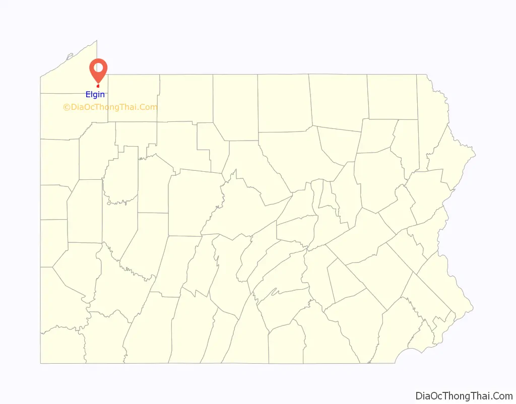
| State: | Pennsylvania |
| County: | Erie County |
| Total Area: | 1.47 sq mi (3.82 km²) |
| Land Area: | 1.47 sq mi (3.82 km²) |
| Water Area: | 0.00 sq mi (0.00 km²) |
| Total Population: | 204 |
| Population Density: | 138.40/sq mi (53.45/km²) |
| ZIP code: | 16407 |
| Area code: | 814 |
| FIPS code: | 4222960 |
Online Interactive Map
Click on ![]() to view map in "full screen" mode.
to view map in "full screen" mode.
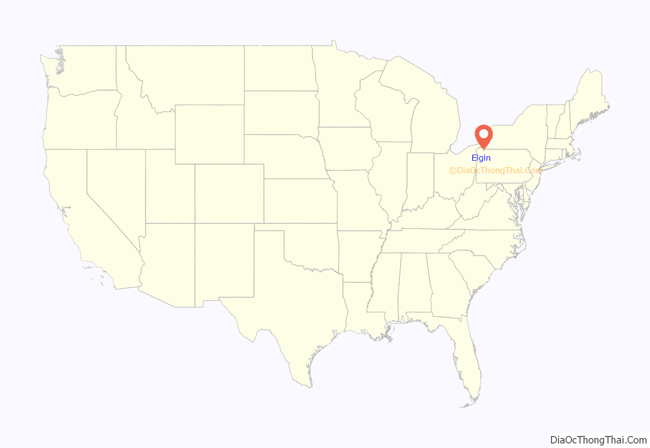
Elgin location map. Where is Elgin borough?
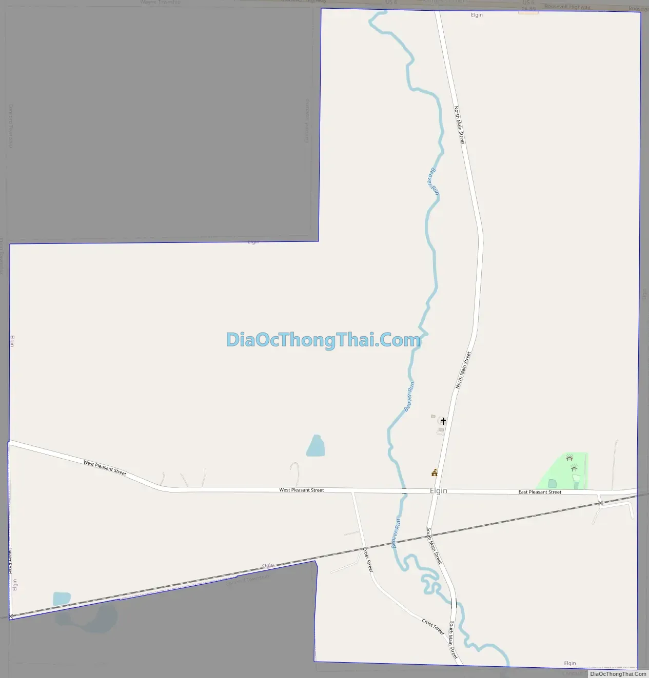
Elgin Road Map
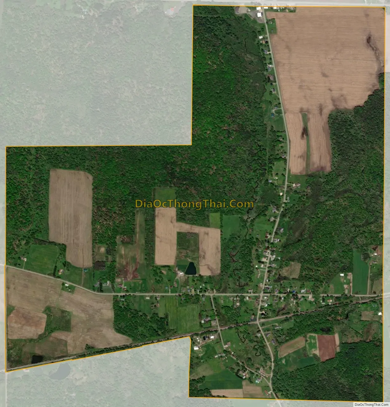
Elgin city Satellite Map
Geography
Elgin is located in southeastern Erie County at 41°54′7″N 79°44′41″W / 41.90194°N 79.74472°W / 41.90194; -79.74472 (41.902058, -79.744851). It is bordered to the west by Union Township, to the north by Wayne Township, and to the northwest, east and south by Concord Township.
According to the United States Census Bureau, the borough has a total area of 1.5 square miles (3.8 km), all land.
U.S. Route 6 runs along the northern border of the borough, leading east 5.5 miles (8.9 km) to Corry and west 5.7 miles (9.2 km) to Union City. Pennsylvania Route 89 leads northwest from US 6 7.5 miles (12.1 km) to Wattsburg. Erie is 26 miles (42 km) to the northwest via PA 89 and PA 8.
Beaver Run, a tributary of South Branch French Creek flows through the middle of the borough.
See also
Map of Pennsylvania State and its subdivision:- Adams
- Allegheny
- Armstrong
- Beaver
- Bedford
- Berks
- Blair
- Bradford
- Bucks
- Butler
- Cambria
- Cameron
- Carbon
- Centre
- Chester
- Clarion
- Clearfield
- Clinton
- Columbia
- Crawford
- Cumberland
- Dauphin
- Delaware
- Elk
- Erie
- Fayette
- Forest
- Franklin
- Fulton
- Greene
- Huntingdon
- Indiana
- Jefferson
- Juniata
- Lackawanna
- Lancaster
- Lawrence
- Lebanon
- Lehigh
- Luzerne
- Lycoming
- Mc Kean
- Mercer
- Mifflin
- Monroe
- Montgomery
- Montour
- Northampton
- Northumberland
- Perry
- Philadelphia
- Pike
- Potter
- Schuylkill
- Snyder
- Somerset
- Sullivan
- Susquehanna
- Tioga
- Union
- Venango
- Warren
- Washington
- Wayne
- Westmoreland
- Wyoming
- York
- Alabama
- Alaska
- Arizona
- Arkansas
- California
- Colorado
- Connecticut
- Delaware
- District of Columbia
- Florida
- Georgia
- Hawaii
- Idaho
- Illinois
- Indiana
- Iowa
- Kansas
- Kentucky
- Louisiana
- Maine
- Maryland
- Massachusetts
- Michigan
- Minnesota
- Mississippi
- Missouri
- Montana
- Nebraska
- Nevada
- New Hampshire
- New Jersey
- New Mexico
- New York
- North Carolina
- North Dakota
- Ohio
- Oklahoma
- Oregon
- Pennsylvania
- Rhode Island
- South Carolina
- South Dakota
- Tennessee
- Texas
- Utah
- Vermont
- Virginia
- Washington
- West Virginia
- Wisconsin
- Wyoming