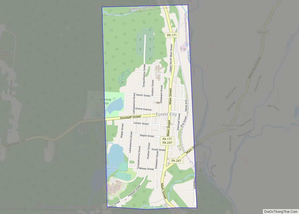
Forest City is a borough in Susquehanna County, Pennsylvania, United States, situated at the corner of Susquehanna, Lackawanna and Wayne counties and is designated by a marker which is located in the Forest City Industrial Park.
Forest City is four avenues by 10 blocks as the ‘main city’, with a small surrounding suburb housing 1,748 in the 2020 census, with 87% of the population living ‘in town’.
At its height in the early twentieth century, between the timber, silk, lumber and coal industries, the population was close to 6,000—a booming town with a busy Main Street.
| Name: | Forest City borough |
|---|---|
| LSAD Code: | 21 |
| LSAD Description: | borough (suffix) |
| State: | Pennsylvania |
| County: | Susquehanna County |
| Incorporated: | 1888 |
| Total Area: | 0.94 sq mi (2.44 km²) |
| Land Area: | 0.92 sq mi (2.37 km²) |
| Water Area: | 0.03 sq mi (0.07 km²) |
| Total Population: | 1,780 |
| Population Density: | 1,945.36/sq mi (751.47/km²) |
| Area code: | 570 |
| FIPS code: | 4226560 |
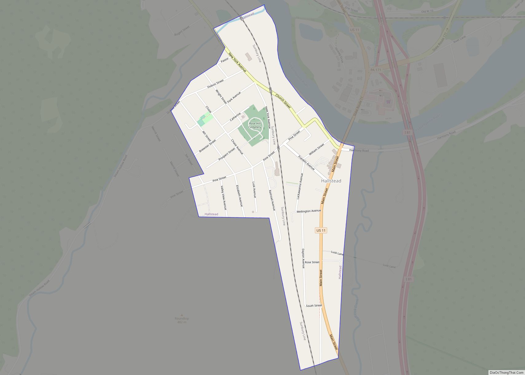
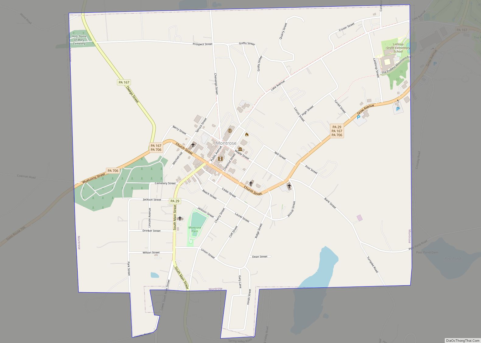
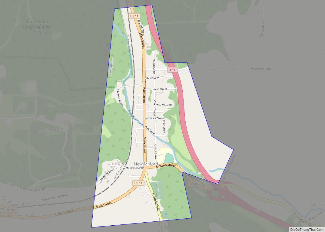
Online Interactive Map
Click on ![]() to view map in "full screen" mode.
to view map in "full screen" mode.
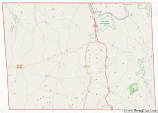
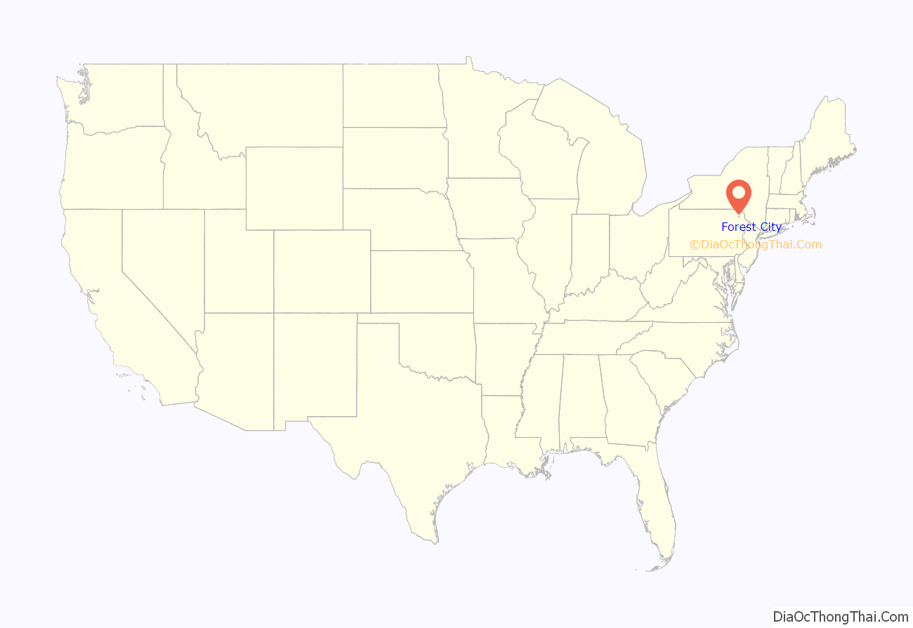
Forest City location map. Where is Forest City borough?
History
The land that is Forest City and the surrounding area was originally part of the Delaware-Munsee Indian Tribe. By the time it became Forest City, it had been unoccupied, virgin land.
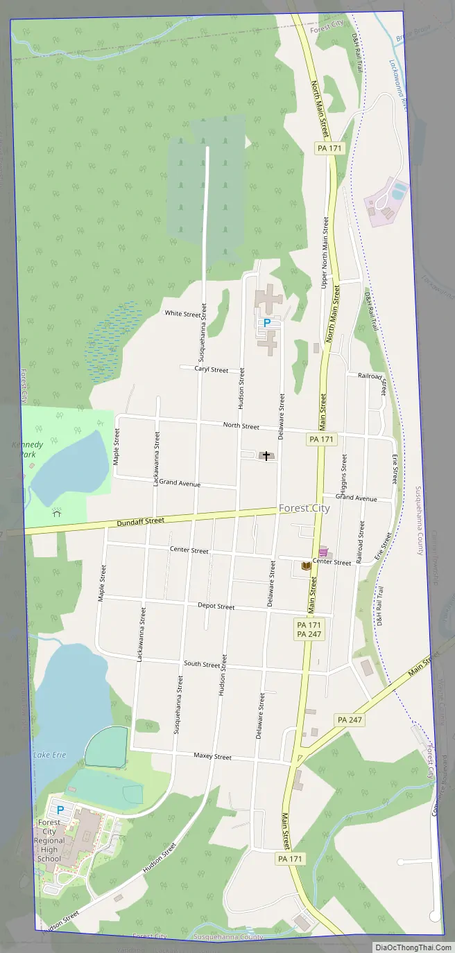
Forest City Road Map
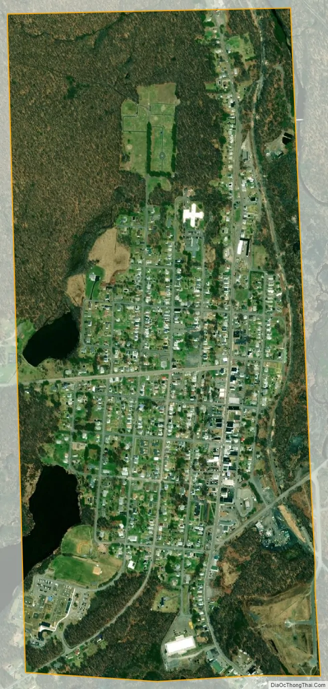
Forest City city Satellite Map
Geography
Forest City is 23 miles (37 km) north by east of Scranton.
Forest City is located at 41°39′3″N 75°28′5″W / 41.65083°N 75.46806°W / 41.65083; -75.46806 (41.650907, -75.468180).
According to the United States Census Bureau, the borough has a total area of 0.9 square miles (2.3 km), of which 0.9 square miles (2.3 km) is land and 0.04 square miles (0.10 km) (3.23%) is water.
See also
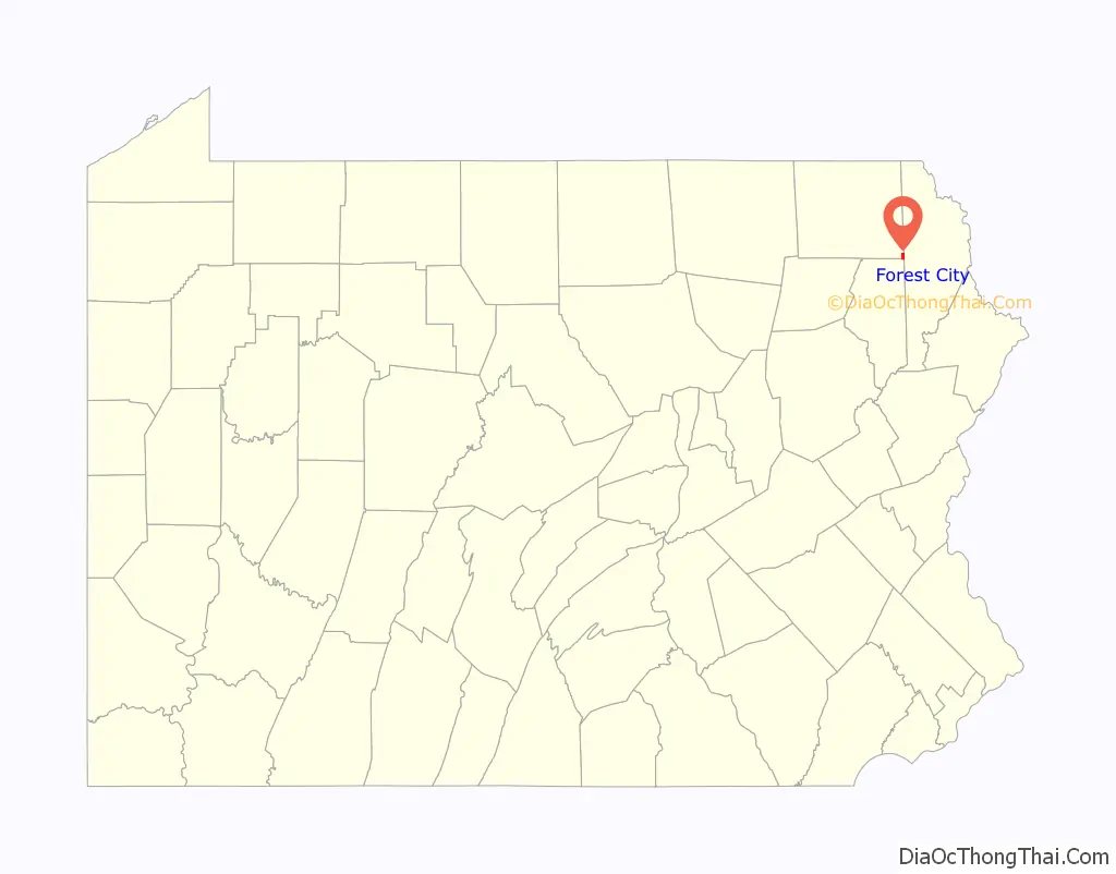
Map of Pennsylvania State and its subdivision:- Adams
- Allegheny
- Armstrong
- Beaver
- Bedford
- Berks
- Blair
- Bradford
- Bucks
- Butler
- Cambria
- Cameron
- Carbon
- Centre
- Chester
- Clarion
- Clearfield
- Clinton
- Columbia
- Crawford
- Cumberland
- Dauphin
- Delaware
- Elk
- Erie
- Fayette
- Forest
- Franklin
- Fulton
- Greene
- Huntingdon
- Indiana
- Jefferson
- Juniata
- Lackawanna
- Lancaster
- Lawrence
- Lebanon
- Lehigh
- Luzerne
- Lycoming
- Mc Kean
- Mercer
- Mifflin
- Monroe
- Montgomery
- Montour
- Northampton
- Northumberland
- Perry
- Philadelphia
- Pike
- Potter
- Schuylkill
- Snyder
- Somerset
- Sullivan
- Susquehanna
- Tioga
- Union
- Venango
- Warren
- Washington
- Wayne
- Westmoreland
- Wyoming
- York
- Alabama
- Alaska
- Arizona
- Arkansas
- California
- Colorado
- Connecticut
- Delaware
- District of Columbia
- Florida
- Georgia
- Hawaii
- Idaho
- Illinois
- Indiana
- Iowa
- Kansas
- Kentucky
- Louisiana
- Maine
- Maryland
- Massachusetts
- Michigan
- Minnesota
- Mississippi
- Missouri
- Montana
- Nebraska
- Nevada
- New Hampshire
- New Jersey
- New Mexico
- New York
- North Carolina
- North Dakota
- Ohio
- Oklahoma
- Oregon
- Pennsylvania
- Rhode Island
- South Carolina
- South Dakota
- Tennessee
- Texas
- Utah
- Vermont
- Virginia
- Washington
- West Virginia
- Wisconsin
- Wyoming