Girardville is a borough in Schuylkill County, Pennsylvania, United States, 58 miles (93 km) northwest of Reading. Anthracite coal deposits are in the region. Coal-mining provided employment and incomes for many of the 3,666 people who lived there in 1900. In 1910, 4,396 individuals called it home. The population was 1,519 at the 2010 census. It was founded in 1832 and is named after Stephen Girard of Philadelphia, who purchased large land holdings in and around the town. It was incorporated as a borough in 1872.
| Name: | Girardville borough |
|---|---|
| LSAD Code: | 21 |
| LSAD Description: | borough (suffix) |
| State: | Pennsylvania |
| County: | Schuylkill County |
| Incorporated: | 1872 |
| Elevation: | 1,007 ft (307 m) |
| Total Area: | 0.53 sq mi (1.37 km²) |
| Land Area: | 0.52 sq mi (1.34 km²) |
| Water Area: | 0.01 sq mi (0.03 km²) |
| Total Population: | 1,308 |
| Population Density: | 2,525.10/sq mi (975.56/km²) |
| ZIP code: | 17935 |
| Area code: | 570 and 272 |
| FIPS code: | 4229264 |
Online Interactive Map
Click on ![]() to view map in "full screen" mode.
to view map in "full screen" mode.
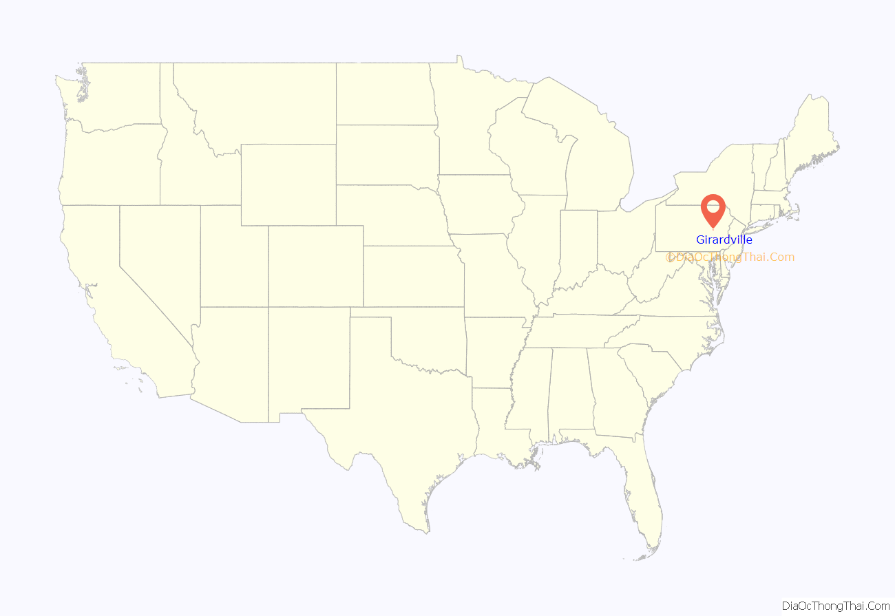
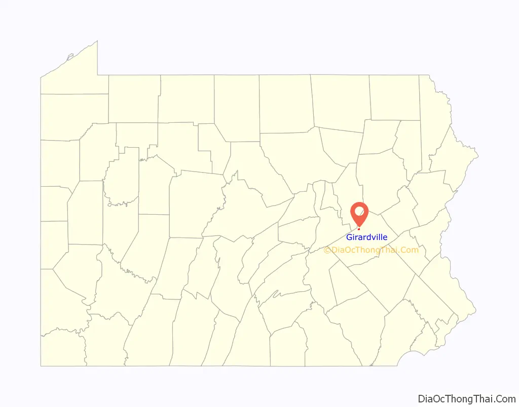
Girardville location map. Where is Girardville borough?
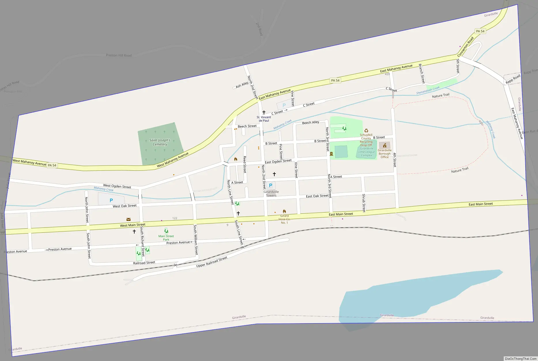
Girardville Road Map
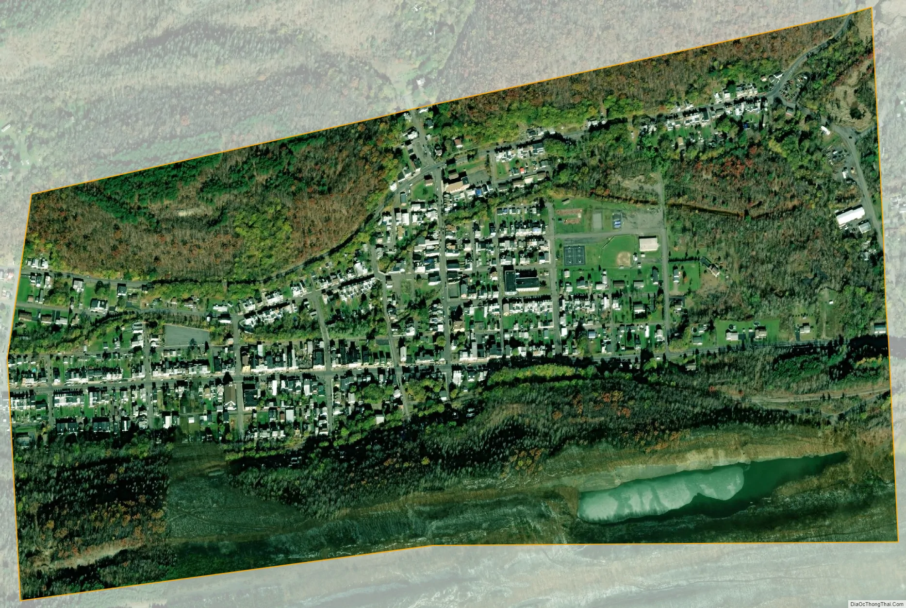
Girardville city Satellite Map
Geography
Girardville is located at 40°47′32″N 76°17′4″W / 40.79222°N 76.28444°W / 40.79222; -76.28444 (40.792104, -76.284555).
According to the United States Census Bureau, the borough has a total area of 0.5 square miles (1.3 km), of which 0.5 square miles (1.3 km) is land and 1.85% is water.
See also
Map of Pennsylvania State and its subdivision:- Adams
- Allegheny
- Armstrong
- Beaver
- Bedford
- Berks
- Blair
- Bradford
- Bucks
- Butler
- Cambria
- Cameron
- Carbon
- Centre
- Chester
- Clarion
- Clearfield
- Clinton
- Columbia
- Crawford
- Cumberland
- Dauphin
- Delaware
- Elk
- Erie
- Fayette
- Forest
- Franklin
- Fulton
- Greene
- Huntingdon
- Indiana
- Jefferson
- Juniata
- Lackawanna
- Lancaster
- Lawrence
- Lebanon
- Lehigh
- Luzerne
- Lycoming
- Mc Kean
- Mercer
- Mifflin
- Monroe
- Montgomery
- Montour
- Northampton
- Northumberland
- Perry
- Philadelphia
- Pike
- Potter
- Schuylkill
- Snyder
- Somerset
- Sullivan
- Susquehanna
- Tioga
- Union
- Venango
- Warren
- Washington
- Wayne
- Westmoreland
- Wyoming
- York
- Alabama
- Alaska
- Arizona
- Arkansas
- California
- Colorado
- Connecticut
- Delaware
- District of Columbia
- Florida
- Georgia
- Hawaii
- Idaho
- Illinois
- Indiana
- Iowa
- Kansas
- Kentucky
- Louisiana
- Maine
- Maryland
- Massachusetts
- Michigan
- Minnesota
- Mississippi
- Missouri
- Montana
- Nebraska
- Nevada
- New Hampshire
- New Jersey
- New Mexico
- New York
- North Carolina
- North Dakota
- Ohio
- Oklahoma
- Oregon
- Pennsylvania
- Rhode Island
- South Carolina
- South Dakota
- Tennessee
- Texas
- Utah
- Vermont
- Virginia
- Washington
- West Virginia
- Wisconsin
- Wyoming


