Glen Lyon is a census-designated place (CDP) in Newport Township, Luzerne County, Pennsylvania, United States. The population was 1,873 at the 2010 census.
| Name: | Glen Lyon CDP |
|---|---|
| LSAD Code: | 57 |
| LSAD Description: | CDP (suffix) |
| State: | Pennsylvania |
| County: | Luzerne County |
| Total Area: | 3.77 sq mi (9.78 km²) |
| Land Area: | 3.59 sq mi (9.31 km²) |
| Water Area: | 0.18 sq mi (0.47 km²) |
| Total Population: | 1,877 |
| Population Density: | 522.26/sq mi (201.67/km²) |
| ZIP code: | 18617 |
| Area code: | 570 |
| FIPS code: | 4229680 |
Online Interactive Map
Click on ![]() to view map in "full screen" mode.
to view map in "full screen" mode.
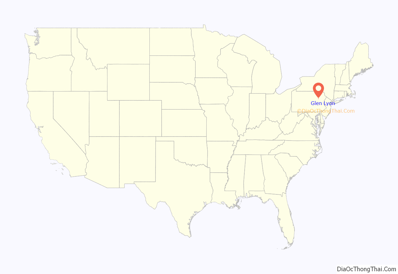
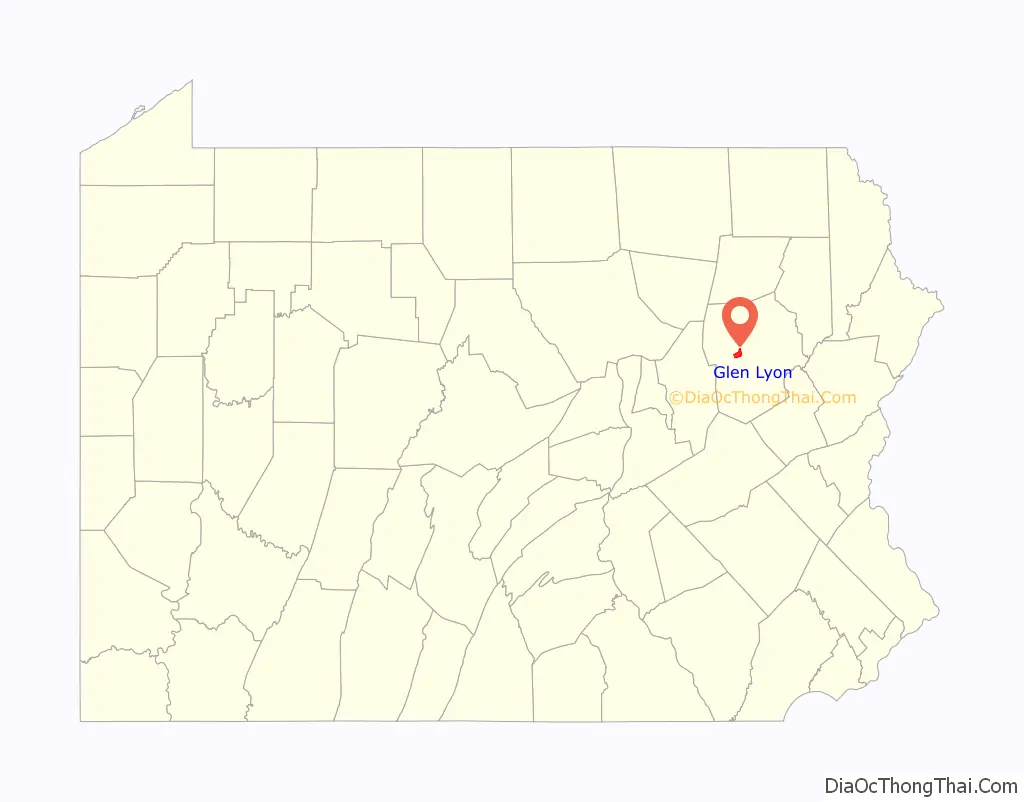
Glen Lyon location map. Where is Glen Lyon CDP?
History
The town of Glen Lyon was founded after anthracite coal mining began in Newport Township (ca. 1869). The colliery was operated by the Susquehanna Coal Company, a Pennsylvania Railroad property. The west side of the community was once called Morgantown; the east side was referred to as Williamstown. Later, the Glen Lyon Rail Station was established and the town was named after the terminus. Part of the east side, which was separated from the rest of the community by the railroad, became known as Canada. Roads and a streetcar line linked the town to Nanticoke and Wilkes-Barre. The streetcar line was replaced eventually by buses and automobiles as the main means of transport.
A hill divided the community into two parts. Sixth Shaft was established on the hill. Coal hoisted from that mine was moved across a bridge to the breaker (coal processing plant), which was built in 1887. Gravity moved the coal through a series of stages. The coal would then come out the north end of the breaker, where it was loaded onto railroad cars and trucks. The Seventh Shaft colliery operated west of Glen Lyon.
The town was originally developed by Welsh miners (who were Protestants); they were usually members of the Methodist church. There was a small Methodist church on Market Street. Later, immigrants from Central Europe (e.g., Poland) and Southern Europe became predominant. Two Polish Catholic parishes, Saint Adalbert’s and Saint Michael’s, were founded in the late nineteenth century. Their churches were built on the west side of the breaker. Other European miners and their families belonged to Ukrainian or “Byzantine Rite” parishes on the east side of town. A company-operated store existed for quite some time in Glen Lyon; it closed in the 1920s. Commercial structures were erected on Nanticoke Street, later Main Street, providing food and supplies to the community. Several neighborhood taverns existed throughout the town. Glen Lyon’s miners were involved in unionization activities, culminating in their representation by the United Mine Workers.
Mining declined after the Second World War. The M. A. Hanna Company closed Seventh Shaft but retained Sixth Shaft and its breaker well into the 1960s. The breaker closed in 1971; it later burned overnight in October 1974. The death of deep mining in Northeastern Pennsylvania after the 1959 Knox Mine Disaster also diminished the town. However, some strip mining did continue in the following years. Small dress factories provided employment, mostly for women, in the period when mining was in decline; but they too closed. Retirees formed a large portion of the population. Many businesses closed as deep mining declined, and increasing numbers of houses stood vacant. The Roman Catholic churches were gradually consolidated, and St. Michael’s was demolished (ca. 2004). St. Dennis, the “Irish” church, became a possession of the Knights of Columbus.
Glen Lyon was fictionalized as “Coaltown” for the 1948 film The Miracle of the Bells, and some exterior scenes were shot there.
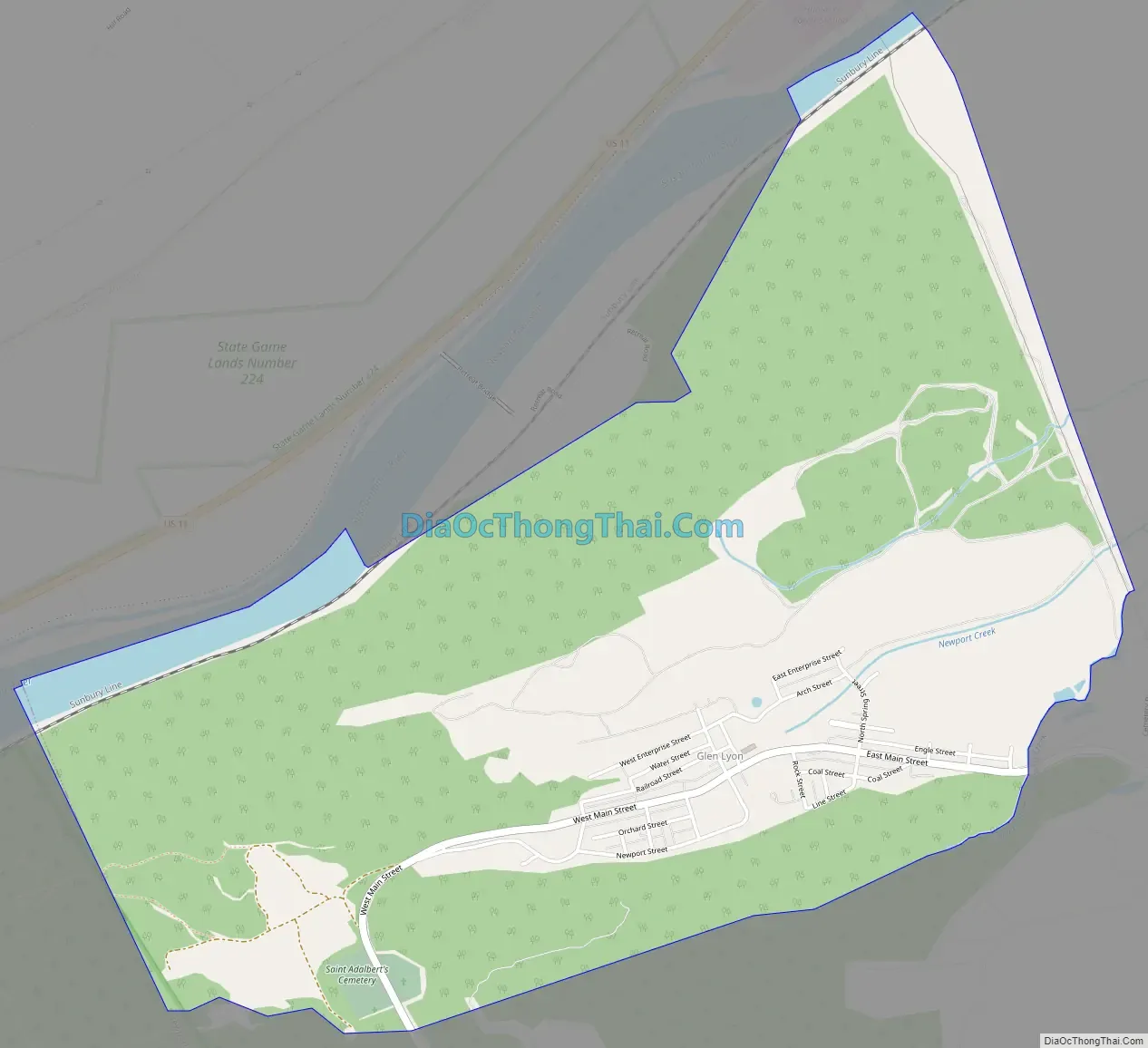
Glen Lyon Road Map
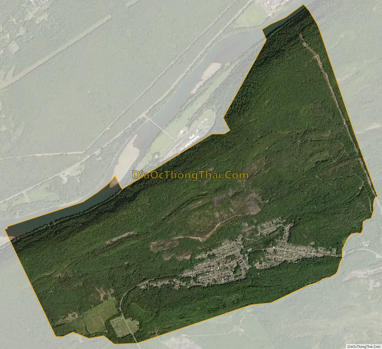
Glen Lyon city Satellite Map
Geography
Glen Lyon is located at 41°10′32″N 76°4′28″W / 41.17556°N 76.07444°W / 41.17556; -76.07444 (41.175582, -76.074556).
According to the United States Census Bureau, the CDP has a total area of 3.4 square miles (8.8 km), of which 3.3 square miles (8.5 km) is land and 0.1 square miles (0.26 km), or 2.05%, is water.
See also
Map of Pennsylvania State and its subdivision:- Adams
- Allegheny
- Armstrong
- Beaver
- Bedford
- Berks
- Blair
- Bradford
- Bucks
- Butler
- Cambria
- Cameron
- Carbon
- Centre
- Chester
- Clarion
- Clearfield
- Clinton
- Columbia
- Crawford
- Cumberland
- Dauphin
- Delaware
- Elk
- Erie
- Fayette
- Forest
- Franklin
- Fulton
- Greene
- Huntingdon
- Indiana
- Jefferson
- Juniata
- Lackawanna
- Lancaster
- Lawrence
- Lebanon
- Lehigh
- Luzerne
- Lycoming
- Mc Kean
- Mercer
- Mifflin
- Monroe
- Montgomery
- Montour
- Northampton
- Northumberland
- Perry
- Philadelphia
- Pike
- Potter
- Schuylkill
- Snyder
- Somerset
- Sullivan
- Susquehanna
- Tioga
- Union
- Venango
- Warren
- Washington
- Wayne
- Westmoreland
- Wyoming
- York
- Alabama
- Alaska
- Arizona
- Arkansas
- California
- Colorado
- Connecticut
- Delaware
- District of Columbia
- Florida
- Georgia
- Hawaii
- Idaho
- Illinois
- Indiana
- Iowa
- Kansas
- Kentucky
- Louisiana
- Maine
- Maryland
- Massachusetts
- Michigan
- Minnesota
- Mississippi
- Missouri
- Montana
- Nebraska
- Nevada
- New Hampshire
- New Jersey
- New Mexico
- New York
- North Carolina
- North Dakota
- Ohio
- Oklahoma
- Oregon
- Pennsylvania
- Rhode Island
- South Carolina
- South Dakota
- Tennessee
- Texas
- Utah
- Vermont
- Virginia
- Washington
- West Virginia
- Wisconsin
- Wyoming


