Guilford is a census-designated place (CDP) in Franklin County, Pennsylvania, United States. The population was 2,923 at the 2020 census.
| Name: | Guilford CDP |
|---|---|
| LSAD Code: | 57 |
| LSAD Description: | CDP (suffix) |
| State: | Pennsylvania |
| County: | Franklin County |
| Elevation: | 800 ft (200 m) |
| Total Area: | 1.55 sq mi (4.01 km²) |
| Land Area: | 1.55 sq mi (4.01 km²) |
| Water Area: | 0.00 sq mi (0.00 km²) |
| Total Population: | 2,923 |
| Population Density: | 1,887.02/sq mi (728.45/km²) |
| ZIP code: | 17202 |
| Area code: | 717 |
| FIPS code: | 4231716 |
| GNISfeature ID: | 2389887 |
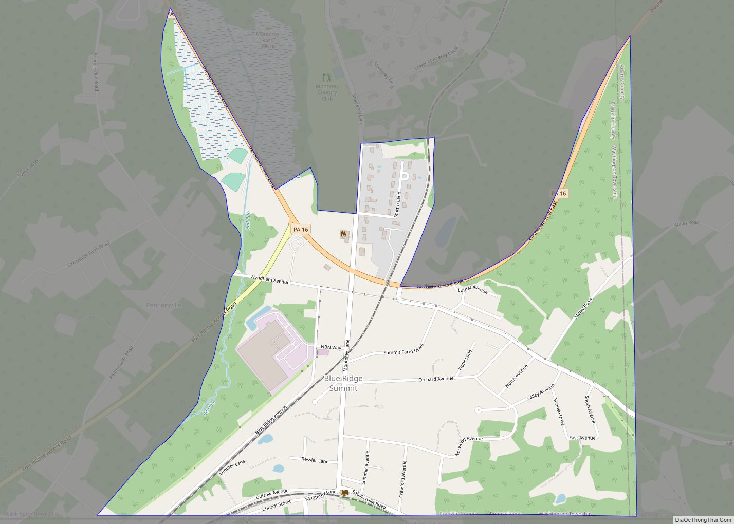
Online Interactive Map
Click on ![]() to view map in "full screen" mode.
to view map in "full screen" mode.
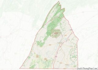
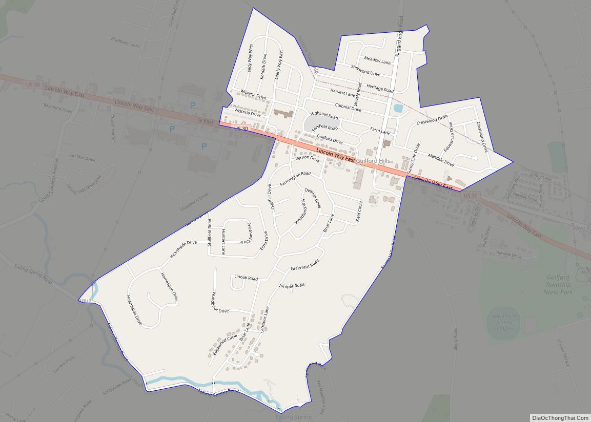
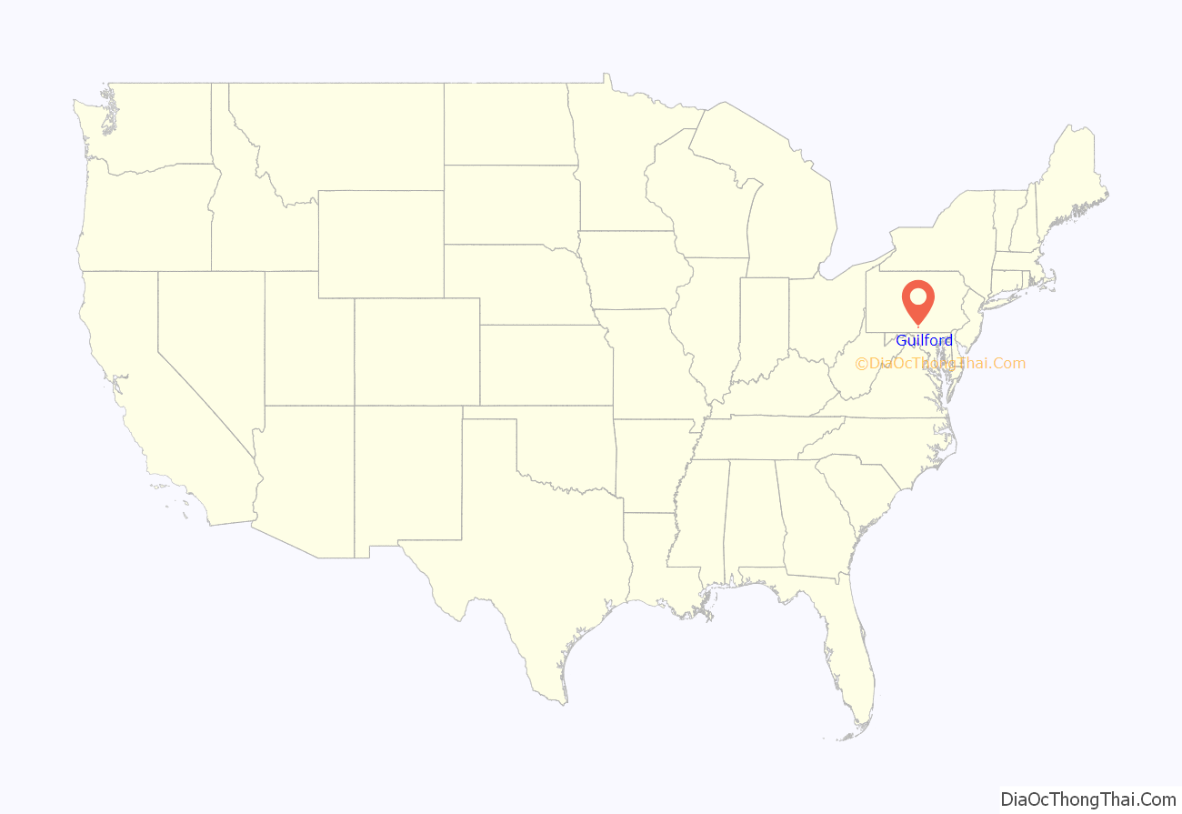
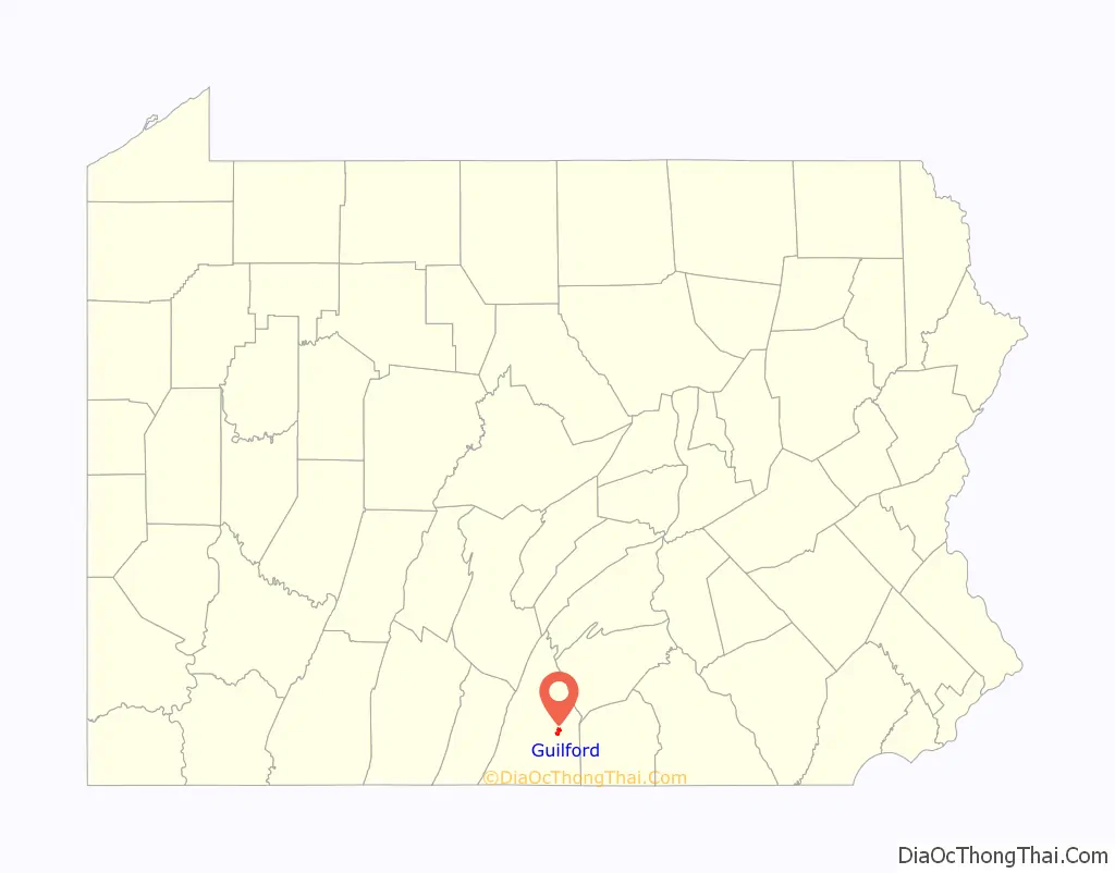
Guilford location map. Where is Guilford CDP?
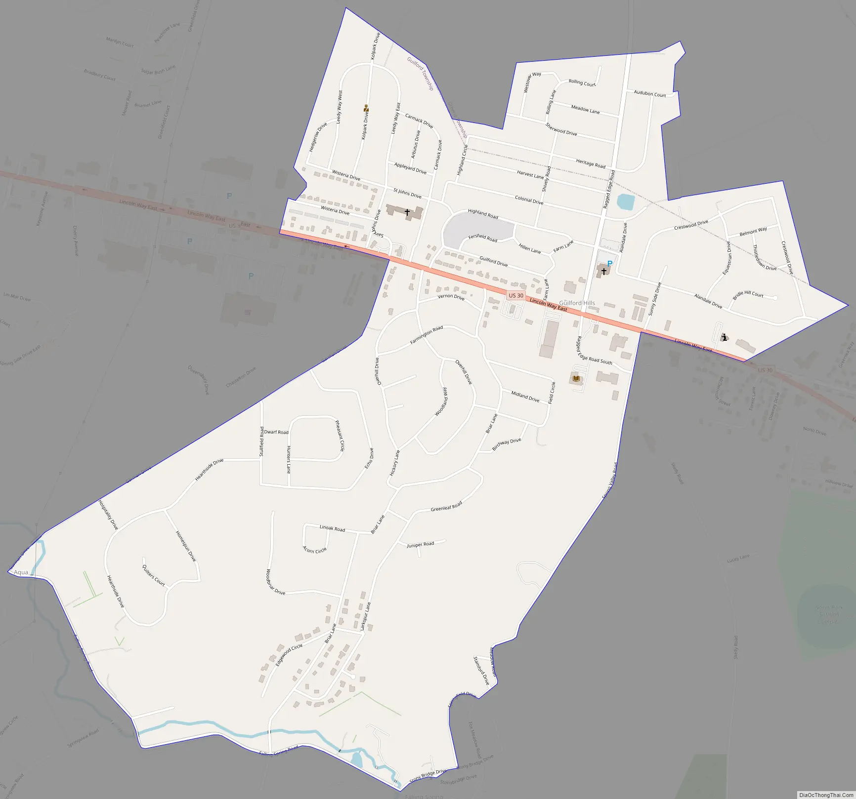
Guilford Road Map
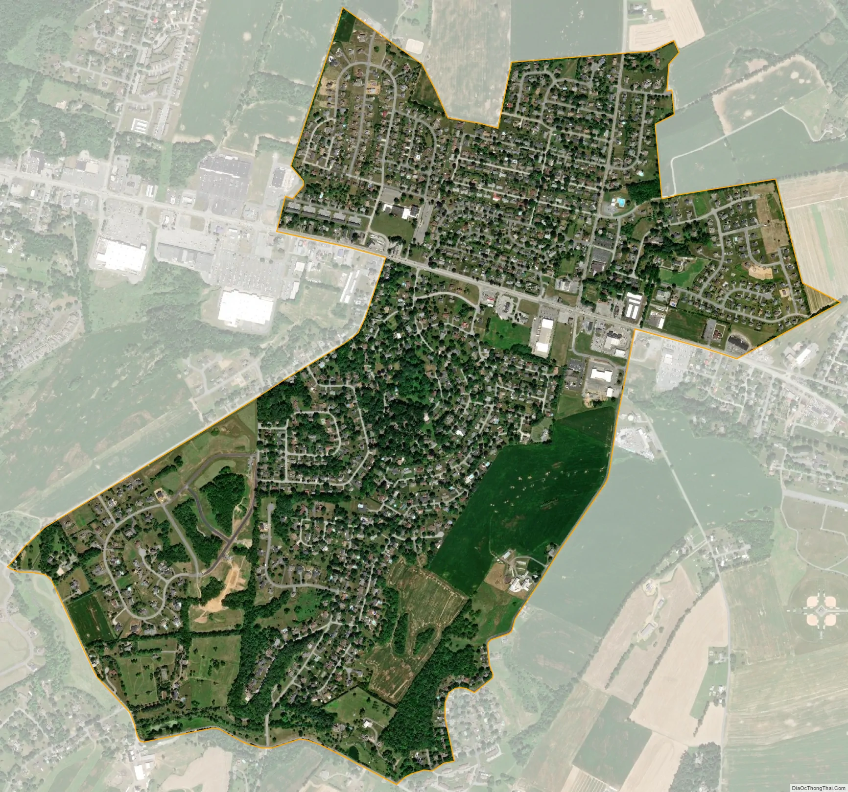
Guilford city Satellite Map
Geography
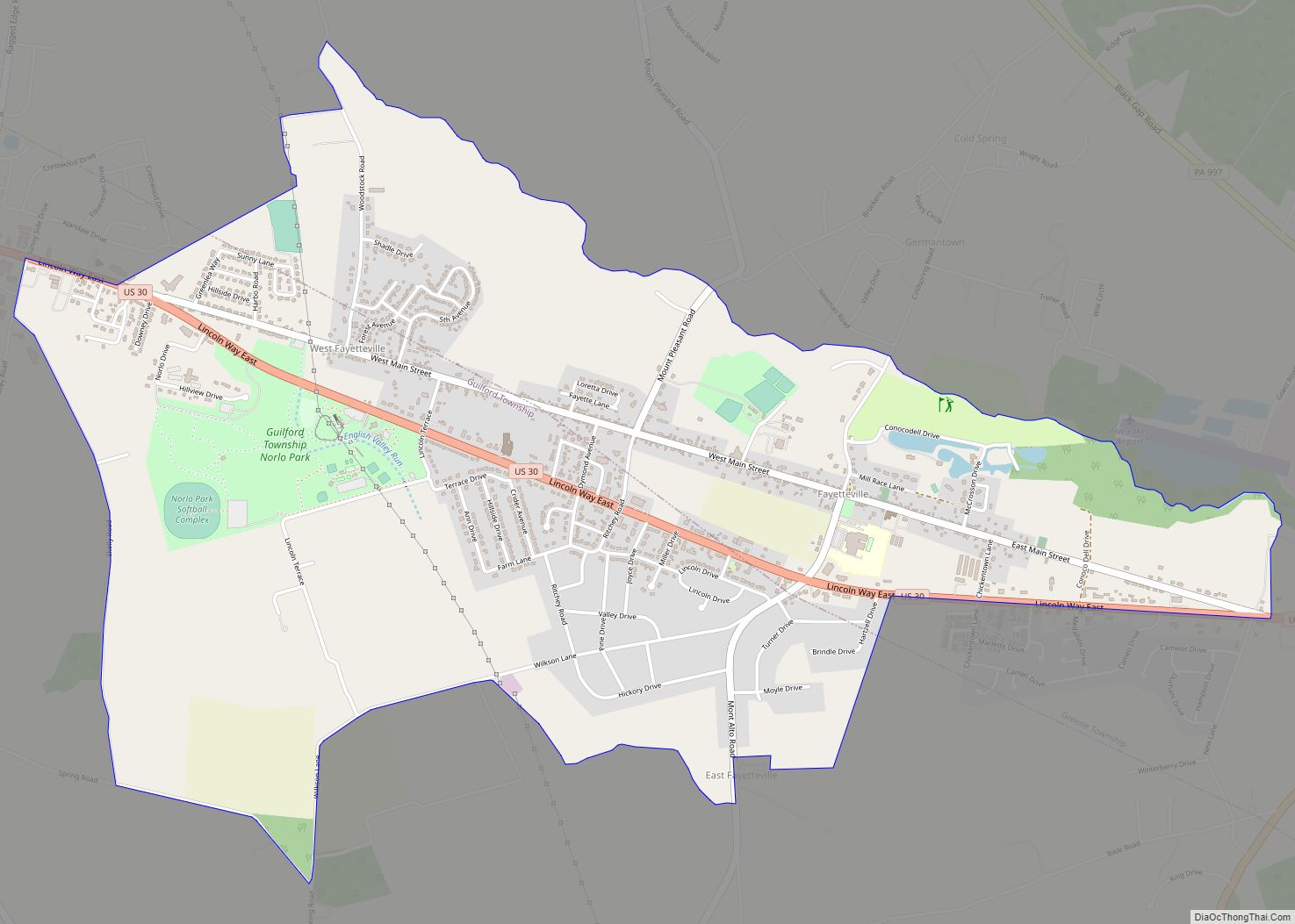
Guilford is located in eastern Franklin County at 39°55′10″N 77°35′54″W / 39.91944°N 77.59833°W / 39.91944; -77.59833 (39.919506, -77.598262). It is primarily in Guilford Township, but a portion extends north into Greene Township. The area is also known as Guilford Hills.
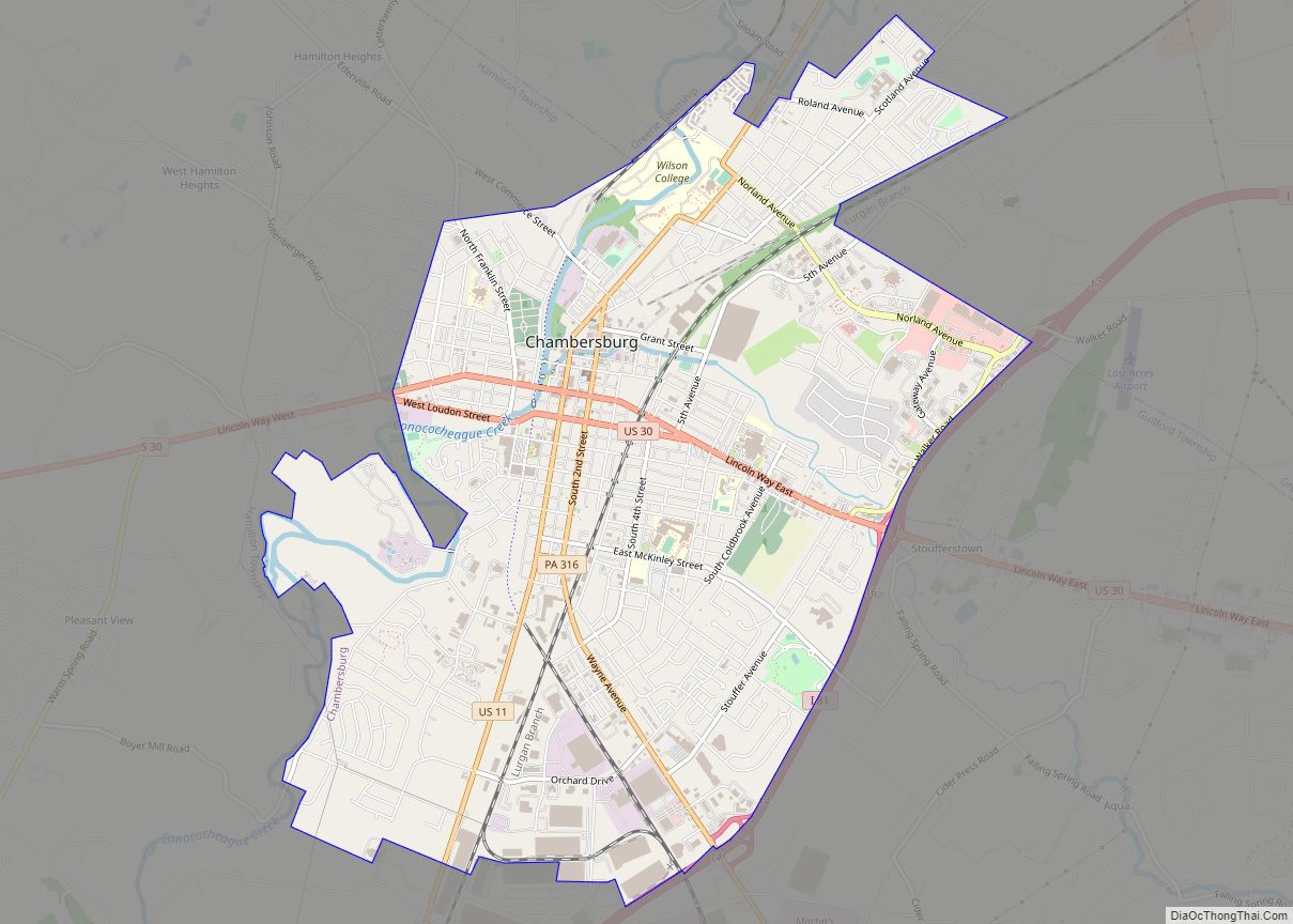
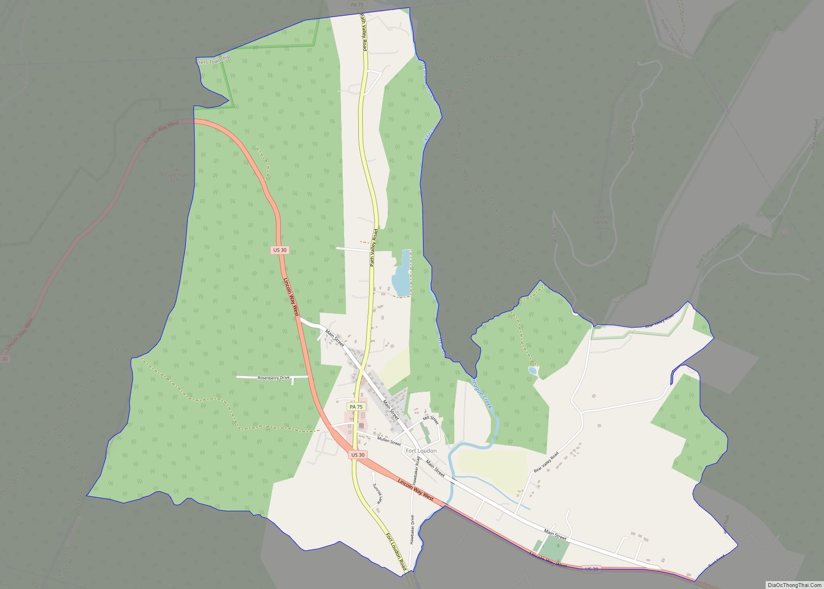
U.S. Route 30 passes through the community, leading east 2 miles (3 km) to Fayetteville and west 4 miles (6 km) to Chambersburg, the county seat.
According to the United States Census Bureau, the CDP has a total area of 1.3 square miles (3.4 km), all land.
See also
Map of Pennsylvania State and its subdivision:- Adams
- Allegheny
- Armstrong
- Beaver
- Bedford
- Berks
- Blair
- Bradford
- Bucks
- Butler
- Cambria
- Cameron
- Carbon
- Centre
- Chester
- Clarion
- Clearfield
- Clinton
- Columbia
- Crawford
- Cumberland
- Dauphin
- Delaware
- Elk
- Erie
- Fayette
- Forest
- Franklin
- Fulton
- Greene
- Huntingdon
- Indiana
- Jefferson
- Juniata
- Lackawanna
- Lancaster
- Lawrence
- Lebanon
- Lehigh
- Luzerne
- Lycoming
- Mc Kean
- Mercer
- Mifflin
- Monroe
- Montgomery
- Montour
- Northampton
- Northumberland
- Perry
- Philadelphia
- Pike
- Potter
- Schuylkill
- Snyder
- Somerset
- Sullivan
- Susquehanna
- Tioga
- Union
- Venango
- Warren
- Washington
- Wayne
- Westmoreland
- Wyoming
- York
- Alabama
- Alaska
- Arizona
- Arkansas
- California
- Colorado
- Connecticut
- Delaware
- District of Columbia
- Florida
- Georgia
- Hawaii
- Idaho
- Illinois
- Indiana
- Iowa
- Kansas
- Kentucky
- Louisiana
- Maine
- Maryland
- Massachusetts
- Michigan
- Minnesota
- Mississippi
- Missouri
- Montana
- Nebraska
- Nevada
- New Hampshire
- New Jersey
- New Mexico
- New York
- North Carolina
- North Dakota
- Ohio
- Oklahoma
- Oregon
- Pennsylvania
- Rhode Island
- South Carolina
- South Dakota
- Tennessee
- Texas
- Utah
- Vermont
- Virginia
- Washington
- West Virginia
- Wisconsin
- Wyoming