Hopwood is a census-designated place (CDP) in Fayette County, Pennsylvania, United States. The population was 2,090 at the 2010 census, up from 2,006 at the 2000 census. It is located in North Union and South Union townships. The village was named after John Hopwood.
| Name: | Hopwood CDP |
|---|---|
| LSAD Code: | 57 |
| LSAD Description: | CDP (suffix) |
| State: | Pennsylvania |
| County: | Fayette County |
| Total Area: | 1.89 sq mi (4.88 km²) |
| Land Area: | 1.89 sq mi (4.88 km²) |
| Water Area: | 0.00 sq mi (0.00 km²) |
| Total Population: | 2,062 |
| Population Density: | 1,093.32/sq mi (422.21/km²) |
| Area code: | 724 |
| FIPS code: | 4235728 |
Online Interactive Map
Click on ![]() to view map in "full screen" mode.
to view map in "full screen" mode.
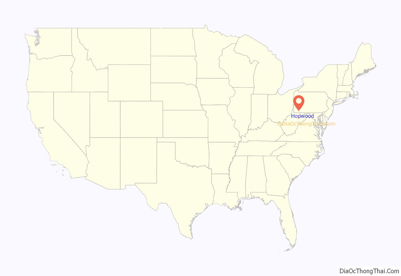
Hopwood location map. Where is Hopwood CDP?
History
The Battle of Jumonville Glen, a skirmish which helped to start the French and Indian War, was fought near Hopwood on May 28, 1754.
Hopwood was home to the famous Uniontown Speedway from 1916 through the mid-1920s. The Universal Trophy and Autumn Classic, 1921 AAA Championship Car season national championship points races, were held there in 1921 and 1922. Before the sport was banned, In 1914 and 1915, hill-climb races were held up the nearby Summit Mountain.
Hopwood has the most early-American 19th century stone buildings along the National Pike/Old U.S. Route 40, with a number of them being on the National Register of Historic Places. In 1816 President Monroe was a guest at the Hopwood-Miller Tavern, then known as the Moses Hopwood House. Other Presidents and notables stayed there when the building was operated as an inn including John Quincy Adams, William Henry Harrison, James Polk and James Buchanan. Other important buildings include the Barnes Estate, the Summit Inn, and the former Soldiers Orphan’s School, a post-Civil War orphan school which is the current property of the Jumonville Training Center.
Hopwood Road Map
Hopwood city Satellite Map
Geography
Hopwood is located in central Fayette County at 39°52′27″N 79°42′12″W / 39.87417°N 79.70333°W / 39.87417; -79.70333 (39.874145, -79.703385). It is bordered to the north by East Uniontown. U.S. Route 40 Business (National Pike) runs through the center of Hopwood and forms the border between North and South Union townships. The center of Uniontown is 2 miles (3 km) to the northwest via National Pike. U.S. Route 40 forms a four-lane bypass around the south side of Uniontown, intersecting National Pike at the south end of Hopwood. Via US 40, it is 60 miles (97 km) southeast to Cumberland, Maryland, and 45 miles (72 km) northwest to Washington.
According to the United States Census Bureau, the Hopwood CDP has a total area of 1.89 square miles (4.89 km), all land. The community sits at the western base of Chestnut Ridge, the westernmost ridge of the Allegheny Mountains in this area.
See also
Map of Pennsylvania State and its subdivision:- Adams
- Allegheny
- Armstrong
- Beaver
- Bedford
- Berks
- Blair
- Bradford
- Bucks
- Butler
- Cambria
- Cameron
- Carbon
- Centre
- Chester
- Clarion
- Clearfield
- Clinton
- Columbia
- Crawford
- Cumberland
- Dauphin
- Delaware
- Elk
- Erie
- Fayette
- Forest
- Franklin
- Fulton
- Greene
- Huntingdon
- Indiana
- Jefferson
- Juniata
- Lackawanna
- Lancaster
- Lawrence
- Lebanon
- Lehigh
- Luzerne
- Lycoming
- Mc Kean
- Mercer
- Mifflin
- Monroe
- Montgomery
- Montour
- Northampton
- Northumberland
- Perry
- Philadelphia
- Pike
- Potter
- Schuylkill
- Snyder
- Somerset
- Sullivan
- Susquehanna
- Tioga
- Union
- Venango
- Warren
- Washington
- Wayne
- Westmoreland
- Wyoming
- York
- Alabama
- Alaska
- Arizona
- Arkansas
- California
- Colorado
- Connecticut
- Delaware
- District of Columbia
- Florida
- Georgia
- Hawaii
- Idaho
- Illinois
- Indiana
- Iowa
- Kansas
- Kentucky
- Louisiana
- Maine
- Maryland
- Massachusetts
- Michigan
- Minnesota
- Mississippi
- Missouri
- Montana
- Nebraska
- Nevada
- New Hampshire
- New Jersey
- New Mexico
- New York
- North Carolina
- North Dakota
- Ohio
- Oklahoma
- Oregon
- Pennsylvania
- Rhode Island
- South Carolina
- South Dakota
- Tennessee
- Texas
- Utah
- Vermont
- Virginia
- Washington
- West Virginia
- Wisconsin
- Wyoming


