Iola is a census-designated place in Columbia County, Pennsylvania, United States. It is part of Northeastern Pennsylvania. The population was 144 at the 2010 census. It is part of the Bloomsburg-Berwick micropolitan area.
| Name: | Iola CDP |
|---|---|
| LSAD Code: | 57 |
| LSAD Description: | CDP (suffix) |
| State: | Pennsylvania |
| County: | Columbia County |
| Elevation: | 653 ft (199 m) |
| Total Area: | 0.28 sq mi (0.71 km²) |
| Land Area: | 0.27 sq mi (0.70 km²) |
| Water Area: | 0.00 sq mi (0.01 km²) |
| Total Population: | 154 |
| Population Density: | 566.18/sq mi (218.99/km²) |
| ZIP code: | 17846 |
| FIPS code: | 4237024 |
| GNISfeature ID: | 1177825 |
Online Interactive Map
Click on ![]() to view map in "full screen" mode.
to view map in "full screen" mode.
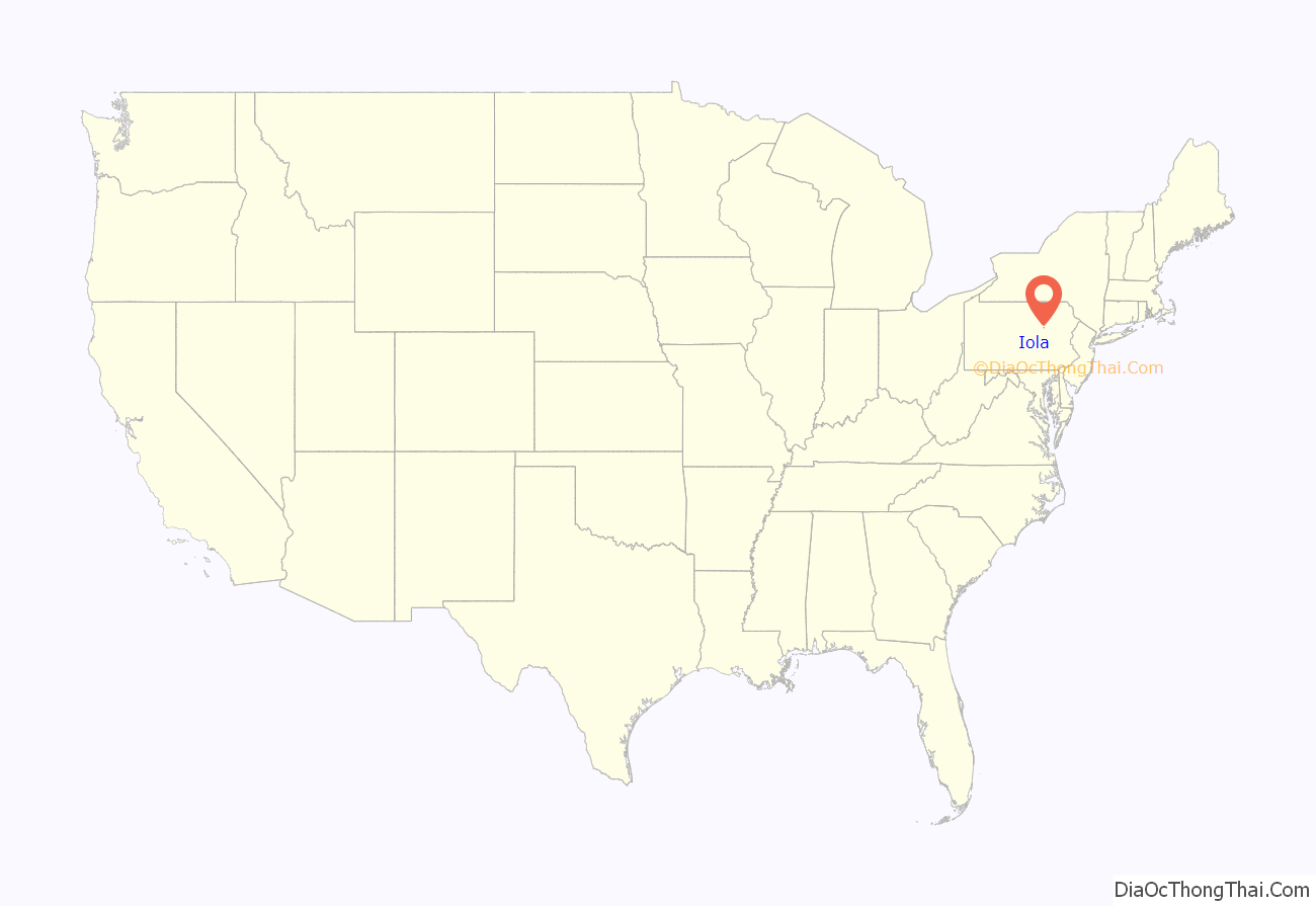
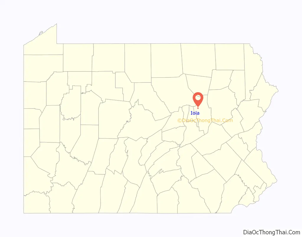
Iola location map. Where is Iola CDP?
History
A milling business was set up in Iola in the winter of 1828. A church was built in the community in 1850.
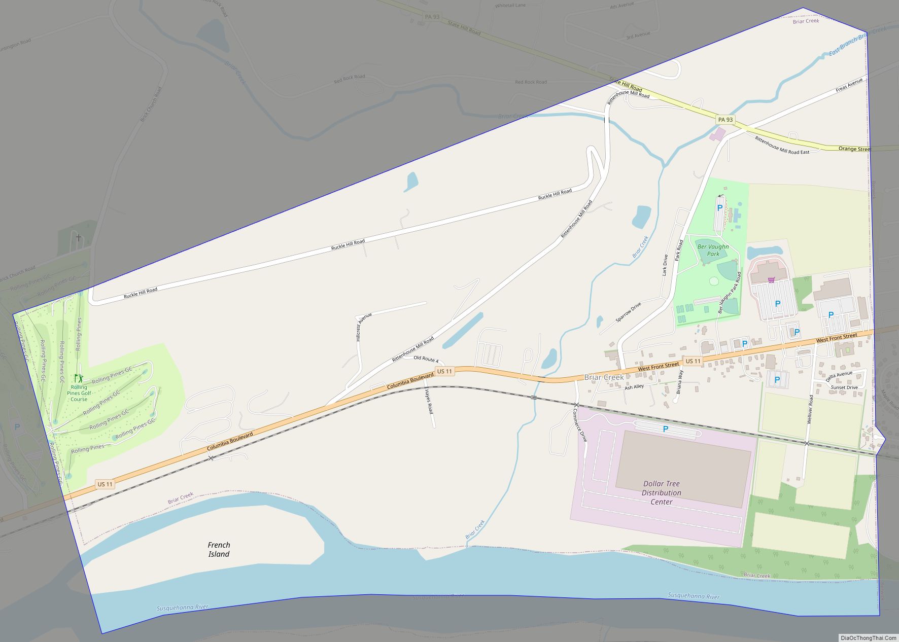
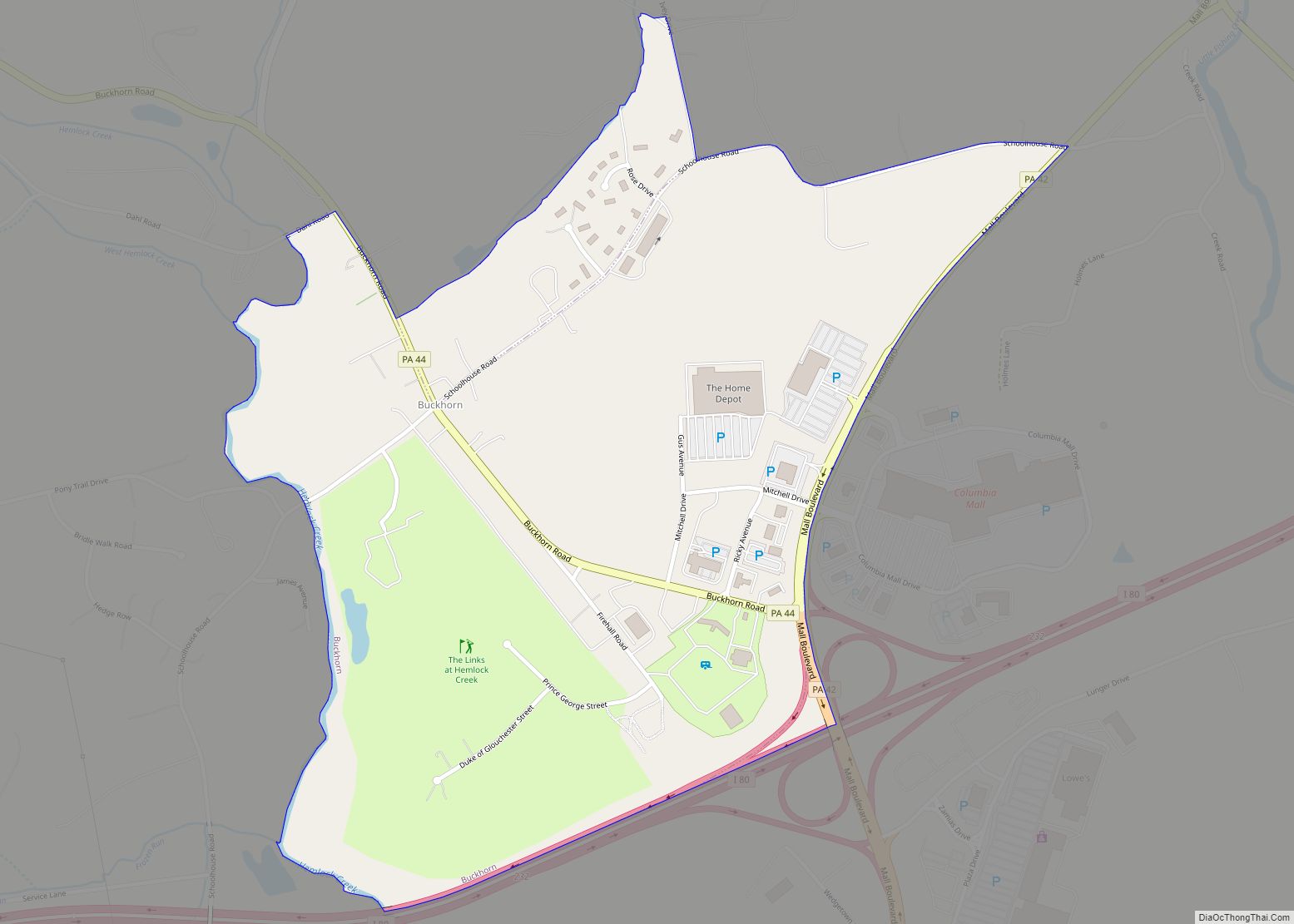
Iola Road Map

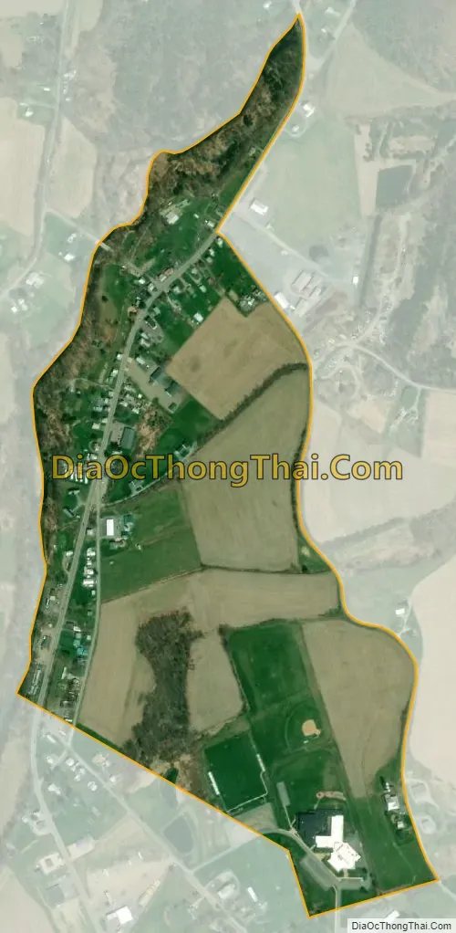
Iola city Satellite Map
Geography
Iola is located in northwestern Columbia County at 41°7′56″N 76°32′2″W / 41.13222°N 76.53389°W / 41.13222; -76.53389 (41.132269, -76.533969), along the western edge of Greenwood Township. Iola is bordered to the south by the borough of Millville and to the west by Little Fishing Creek, across which is Pine Township. According to the United States Census Bureau, the CDP has a total area of 0.3 square miles (0.7 km), all land.
Pennsylvania Route 42 runs north–south through the center of town, and Pennsylvania Route 442 branches to the northwest at the northern end of town. The CDP is mostly flat, with some rolling hills in the eastern section. Much of Iola, especially in the northwest and southeast, is farmland.
See also
Map of Pennsylvania State and its subdivision:- Adams
- Allegheny
- Armstrong
- Beaver
- Bedford
- Berks
- Blair
- Bradford
- Bucks
- Butler
- Cambria
- Cameron
- Carbon
- Centre
- Chester
- Clarion
- Clearfield
- Clinton
- Columbia
- Crawford
- Cumberland
- Dauphin
- Delaware
- Elk
- Erie
- Fayette
- Forest
- Franklin
- Fulton
- Greene
- Huntingdon
- Indiana
- Jefferson
- Juniata
- Lackawanna
- Lancaster
- Lawrence
- Lebanon
- Lehigh
- Luzerne
- Lycoming
- Mc Kean
- Mercer
- Mifflin
- Monroe
- Montgomery
- Montour
- Northampton
- Northumberland
- Perry
- Philadelphia
- Pike
- Potter
- Schuylkill
- Snyder
- Somerset
- Sullivan
- Susquehanna
- Tioga
- Union
- Venango
- Warren
- Washington
- Wayne
- Westmoreland
- Wyoming
- York
- Alabama
- Alaska
- Arizona
- Arkansas
- California
- Colorado
- Connecticut
- Delaware
- District of Columbia
- Florida
- Georgia
- Hawaii
- Idaho
- Illinois
- Indiana
- Iowa
- Kansas
- Kentucky
- Louisiana
- Maine
- Maryland
- Massachusetts
- Michigan
- Minnesota
- Mississippi
- Missouri
- Montana
- Nebraska
- Nevada
- New Hampshire
- New Jersey
- New Mexico
- New York
- North Carolina
- North Dakota
- Ohio
- Oklahoma
- Oregon
- Pennsylvania
- Rhode Island
- South Carolina
- South Dakota
- Tennessee
- Texas
- Utah
- Vermont
- Virginia
- Washington
- West Virginia
- Wisconsin
- Wyoming