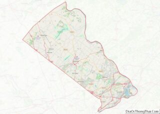
Ivyland is a borough in Bucks County, Pennsylvania. It is known for one of the finest collections of Victorian buildings in the state, most of which are registered with the National Register of Historic Places. The population was 1,041 at the 2010 census, a 111.6% increase from the 2000 census.
| Name: | Ivyland borough |
|---|---|
| LSAD Code: | 21 |
| LSAD Description: | borough (suffix) |
| State: | Pennsylvania |
| County: | Bucks County |
| Elevation: | 299 ft (91 m) |
| Total Area: | 0.35 sq mi (0.92 km²) |
| Land Area: | 0.35 sq mi (0.92 km²) |
| Water Area: | 0.00 sq mi (0.00 km²) |
| Total Population: | 955 |
| Population Density: | 2,690.14/sq mi (1,039.98/km²) |
| ZIP code: | 18974 |
| FIPS code: | 4237304 |
| Website: | www.ivylandborough.org |
Online Interactive Map
Click on ![]() to view map in "full screen" mode.
to view map in "full screen" mode.
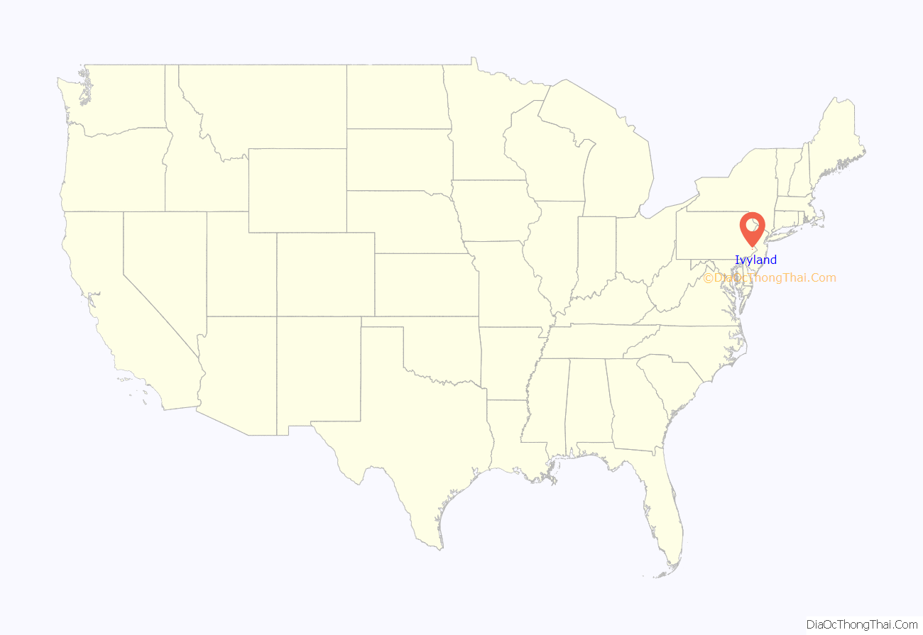
Ivyland location map. Where is Ivyland borough?
History
Ivyland was founded in 1873 by Edwin Lacey, a Quaker who was related to John Lacey, a brigadier general in the American Revolution. Edwin Lacey purchased 40 acres (16 ha) of land between Jacksonville Road (today’s PA 332) and the Reading Company’s future New Hope rail line, today’s New Hope Railroad, which was completed to New Hope in 1891. It, as well as a large hotel which was planned for the town, was intended to serve the centennial of the signing of the Declaration of Independence.
According to the borough’s website, Edwin Lacey, who apparently was no botanist, named the town for the vast amount of “ivy” growing in the area, which turned out to be poison ivy.
The railroad line from the county line to Bristol Road opened November 9, 1874. Samuel Davis quarried the stone for the bed and for a bridge over a local stream, supplied horses and carts for the grading, and boarded the construction workers. In return, he took payment as stocks and bonds, and was also offered a lifetime pass on the railroad. He is reported to have stated “I never knew dividends to be paid out of passes. I have asked friends to put their money in this railroad, promising them interest on their investment, and I can’t let them down. Furthermore, if I cannot afford to pay my way on the train, I had better stay home.”
The first post office was opened October 26, 1889, Wilmer Carr, postmaster.
Ivyland was incorporated as a borough in 1903.
Passenger rail service was cut off in 1952 by the Reading, which later sold that portion of the rail line to the New Hope and Ivyland Railroad in 1966.
The Ivyland Historic District was added to the National Register of Historic Places in 2002.
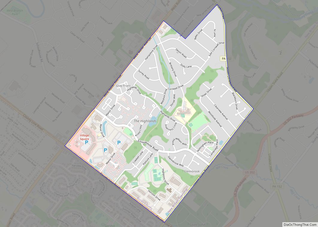
Ivyland Road Map
Ivyland city Satellite Map
Geography
Ivyland is located at 40°12′32″N 75°4′19″W / 40.20889°N 75.07194°W / 40.20889; -75.07194 (40.208908, -75.071946). According to the U.S. Census Bureau, the borough has a total area of 0.3 square miles (0.78 km), all land, making it the smallest borough in Bucks County.
The east end of Ivyland was once a separate village named Bradyville.
See also
Map of Pennsylvania State and its subdivision:- Adams
- Allegheny
- Armstrong
- Beaver
- Bedford
- Berks
- Blair
- Bradford
- Bucks
- Butler
- Cambria
- Cameron
- Carbon
- Centre
- Chester
- Clarion
- Clearfield
- Clinton
- Columbia
- Crawford
- Cumberland
- Dauphin
- Delaware
- Elk
- Erie
- Fayette
- Forest
- Franklin
- Fulton
- Greene
- Huntingdon
- Indiana
- Jefferson
- Juniata
- Lackawanna
- Lancaster
- Lawrence
- Lebanon
- Lehigh
- Luzerne
- Lycoming
- Mc Kean
- Mercer
- Mifflin
- Monroe
- Montgomery
- Montour
- Northampton
- Northumberland
- Perry
- Philadelphia
- Pike
- Potter
- Schuylkill
- Snyder
- Somerset
- Sullivan
- Susquehanna
- Tioga
- Union
- Venango
- Warren
- Washington
- Wayne
- Westmoreland
- Wyoming
- York
- Alabama
- Alaska
- Arizona
- Arkansas
- California
- Colorado
- Connecticut
- Delaware
- District of Columbia
- Florida
- Georgia
- Hawaii
- Idaho
- Illinois
- Indiana
- Iowa
- Kansas
- Kentucky
- Louisiana
- Maine
- Maryland
- Massachusetts
- Michigan
- Minnesota
- Mississippi
- Missouri
- Montana
- Nebraska
- Nevada
- New Hampshire
- New Jersey
- New Mexico
- New York
- North Carolina
- North Dakota
- Ohio
- Oklahoma
- Oregon
- Pennsylvania
- Rhode Island
- South Carolina
- South Dakota
- Tennessee
- Texas
- Utah
- Vermont
- Virginia
- Washington
- West Virginia
- Wisconsin
- Wyoming
