Kutztown (Pennsylvania German: Kutzeschteddel) is a borough in Berks County, Pennsylvania, United States. It is located 18 miles (29 km) southwest of Allentown and 17 miles (27 km) northeast of Reading. As of the 2010 census, the borough had a population of 5,012. Kutztown University of Pennsylvania is located just outside the borough limits to the southwest.
| Name: | Kutztown borough |
|---|---|
| LSAD Code: | 21 |
| LSAD Description: | borough (suffix) |
| State: | Pennsylvania |
| County: | Berks County |
| Incorporated: | April 6, 1815 |
| Elevation: | 400 ft (100 m) |
| Total Area: | 1.60 sq mi (4.16 km²) |
| Land Area: | 1.60 sq mi (4.15 km²) |
| Water Area: | 0.01 sq mi (0.01 km²) |
| Total Population: | 4,162 |
| Population Density: | 2,601.25/sq mi (1,004.07/km²) |
| ZIP code: | 19530 |
| FIPS code: | 4240656 |
| Website: | www.kutztownboro.org |
Online Interactive Map
Click on ![]() to view map in "full screen" mode.
to view map in "full screen" mode.
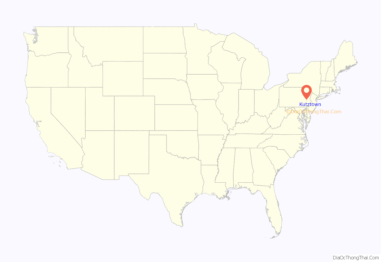
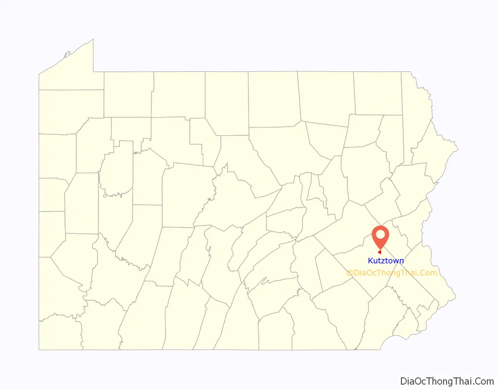
Kutztown location map. Where is Kutztown borough?
History
George (Coots) Kutz purchased 130 acres (53 ha) of land that became Kutztown on June 16, 1755, from Peter Wentz who owned much of what is now Maxatawny Township. Kutz first laid out his plans for the town in 1779. The first lots in the new town of Cootstown (later renamed Kutztown) were purchased in 1785 by Adam Dietrich and Henry Schweier.
Kutztown was incorporated as a borough on April 7, 1815, and is the second oldest borough in Berks County after Reading, which became a borough in 1783 and became a city in 1847.
As with the rest of Berks County, Kutztown was settled mainly by Germans, most of whom came from the Palatinate region of southwest Germany, which borders the Rhine river.
The Kutztown area, broadly defined, encompasses an area of land also known as the East Penn Valley, a broad limestone valley situated in northern and eastern Berks County, bounded by the Blue Mountain and South Mountain ranges to the north and south, respectively, by the Lehigh County border to the east, and by Ontelaunee Creek (Maiden Creek) to the west. Crystal Cave was discovered near the town in 1871.
The H.K. Deisher Knitting Mill and Kutztown 1892 Public School Building are listed on the National Register of Historic Places.
Since 1950 the Kutztown Folk Festival has been held in early July celebrating the culture, artistry, and culinary delights of the Pennsylvania Dutch.
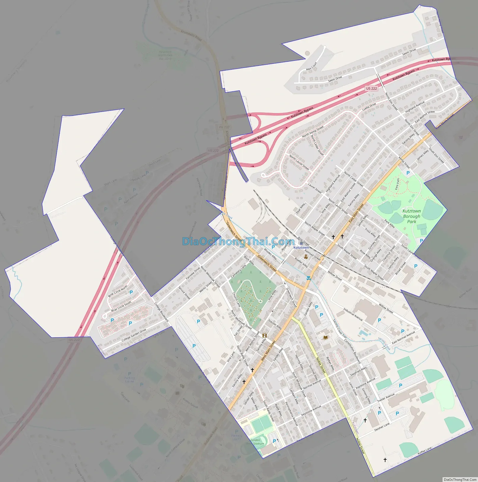
Kutztown Road Map
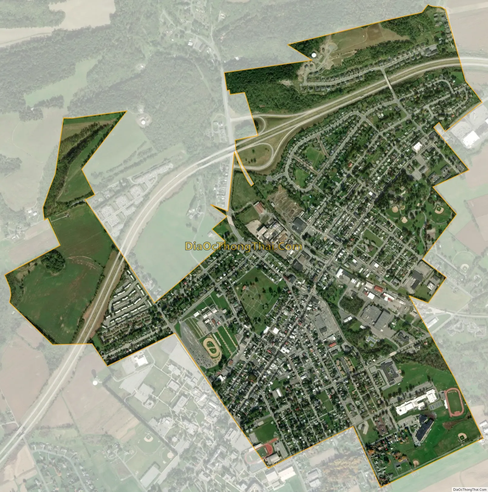
Kutztown city Satellite Map
Geography
Kutztown is located in northeastern Berks County at 40°31′11″N 75°46′31″W / 40.51972°N 75.77528°W / 40.51972; -75.77528 (40.519798, -75.775260). It is surrounded by Maxatawny Township but is separate from it.
According to the United States Census Bureau, the borough has a total area of 1.7 square miles (4.3 km), of which 0.004 square miles (0.01 km), or 0.33%, is water. Kutztown has a hot-summer humid continental climate (Dfa) and average monthly temperatures range from 28.9 °F in January to 73.7 °F in July. [1] The hardiness zone is 6b.
See also
Map of Pennsylvania State and its subdivision:- Adams
- Allegheny
- Armstrong
- Beaver
- Bedford
- Berks
- Blair
- Bradford
- Bucks
- Butler
- Cambria
- Cameron
- Carbon
- Centre
- Chester
- Clarion
- Clearfield
- Clinton
- Columbia
- Crawford
- Cumberland
- Dauphin
- Delaware
- Elk
- Erie
- Fayette
- Forest
- Franklin
- Fulton
- Greene
- Huntingdon
- Indiana
- Jefferson
- Juniata
- Lackawanna
- Lancaster
- Lawrence
- Lebanon
- Lehigh
- Luzerne
- Lycoming
- Mc Kean
- Mercer
- Mifflin
- Monroe
- Montgomery
- Montour
- Northampton
- Northumberland
- Perry
- Philadelphia
- Pike
- Potter
- Schuylkill
- Snyder
- Somerset
- Sullivan
- Susquehanna
- Tioga
- Union
- Venango
- Warren
- Washington
- Wayne
- Westmoreland
- Wyoming
- York
- Alabama
- Alaska
- Arizona
- Arkansas
- California
- Colorado
- Connecticut
- Delaware
- District of Columbia
- Florida
- Georgia
- Hawaii
- Idaho
- Illinois
- Indiana
- Iowa
- Kansas
- Kentucky
- Louisiana
- Maine
- Maryland
- Massachusetts
- Michigan
- Minnesota
- Mississippi
- Missouri
- Montana
- Nebraska
- Nevada
- New Hampshire
- New Jersey
- New Mexico
- New York
- North Carolina
- North Dakota
- Ohio
- Oklahoma
- Oregon
- Pennsylvania
- Rhode Island
- South Carolina
- South Dakota
- Tennessee
- Texas
- Utah
- Vermont
- Virginia
- Washington
- West Virginia
- Wisconsin
- Wyoming


