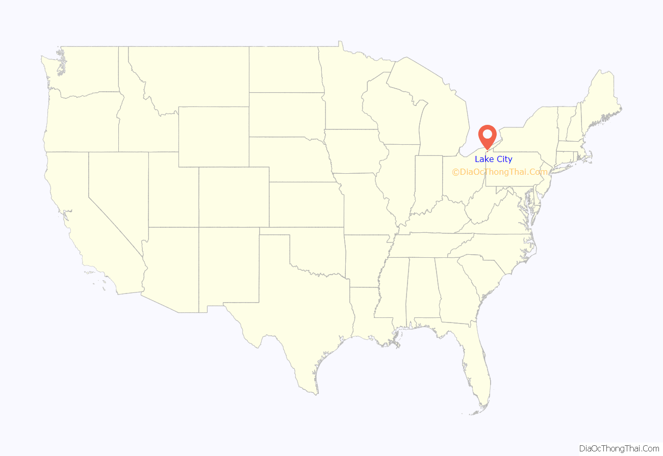
Lake City is a borough in Erie County, Pennsylvania, United States. The population was 2,936 at the 2020 census. It is part of the Erie Metropolitan Statistical Area.
| Name: | Lake City borough |
|---|---|
| LSAD Code: | 21 |
| LSAD Description: | borough (suffix) |
| State: | Pennsylvania |
| County: | Erie County |
| Total Area: | 1.80 sq mi (4.68 km²) |
| Land Area: | 1.80 sq mi (4.65 km²) |
| Water Area: | 0.01 sq mi (0.02 km²) |
| Total Population: | 2,935 |
| Population Density: | 1,633.28/sq mi (630.54/km²) |
| ZIP code: | 16423 |
| Area code: | 814 |
| FIPS code: | 4240960 |
| Website: | lakecityboro.org |
Online Interactive Map
Click on ![]() to view map in "full screen" mode.
to view map in "full screen" mode.
Lake City location map. Where is Lake City borough?
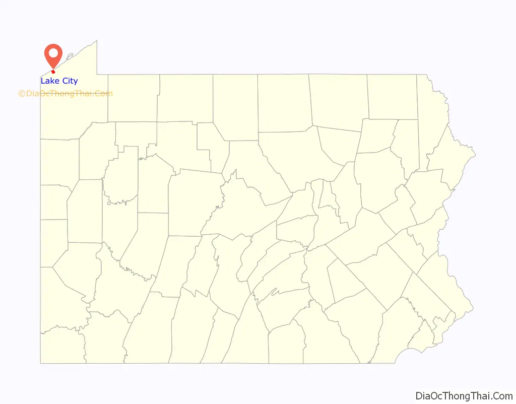
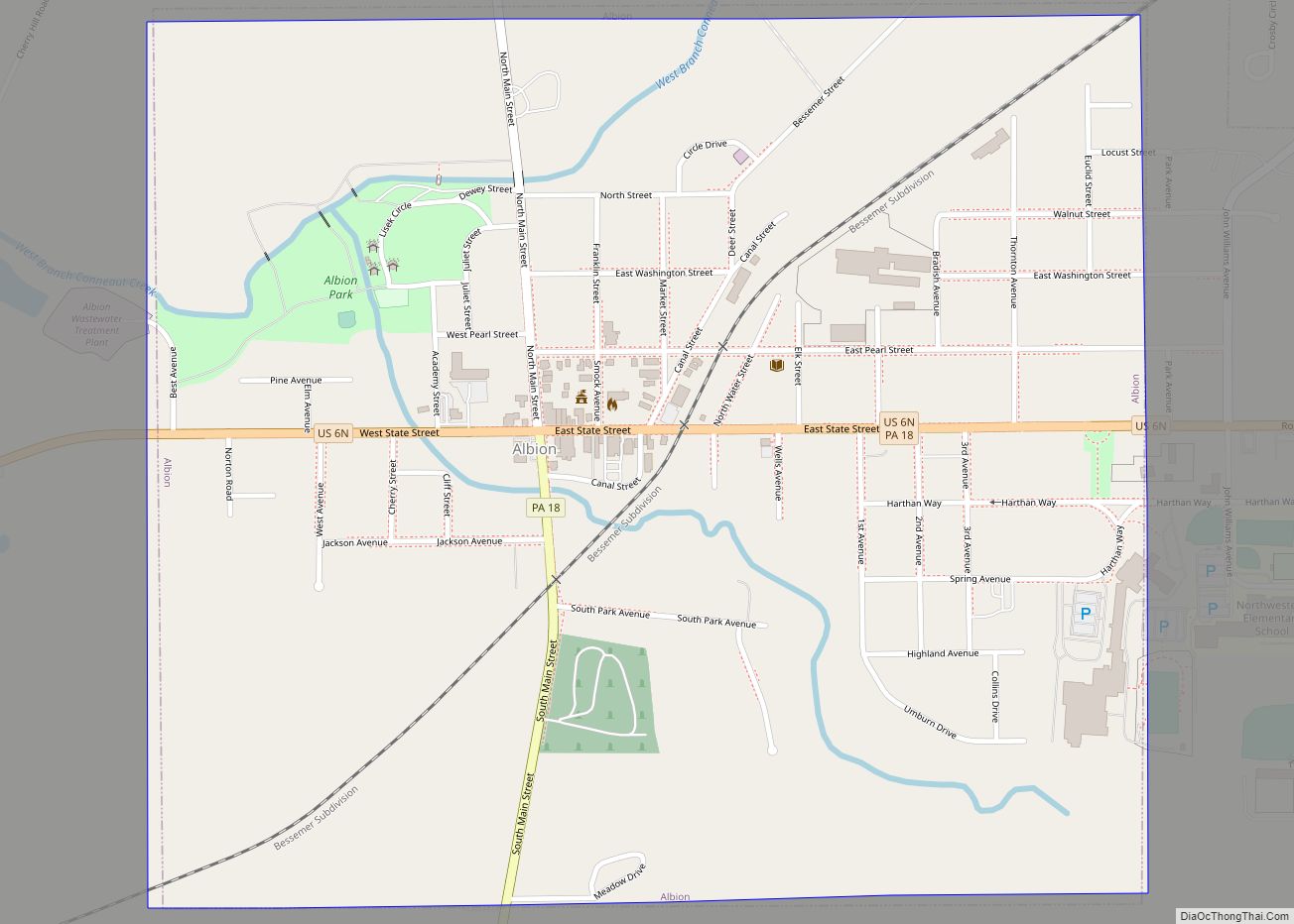
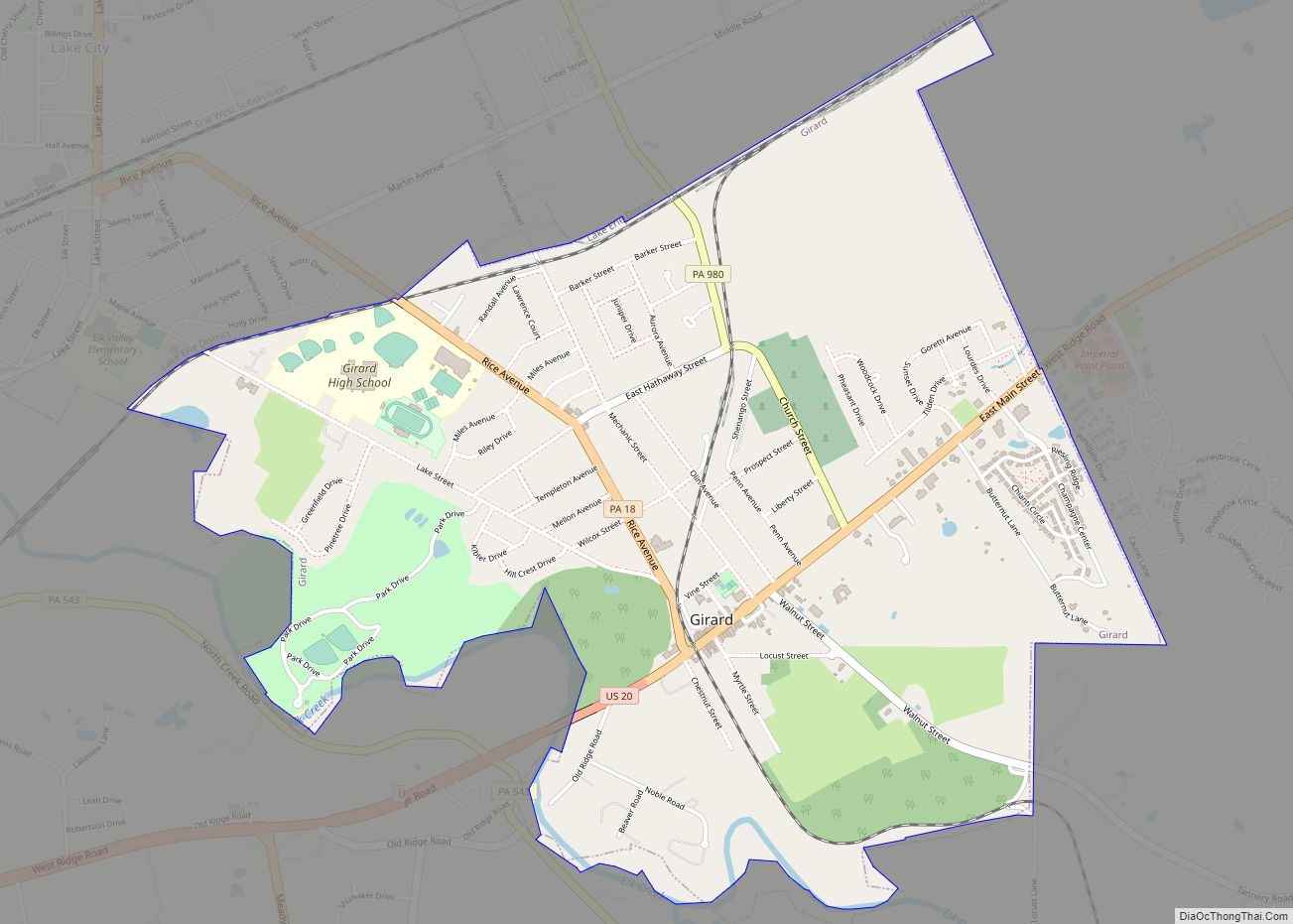
Lake City Road Map
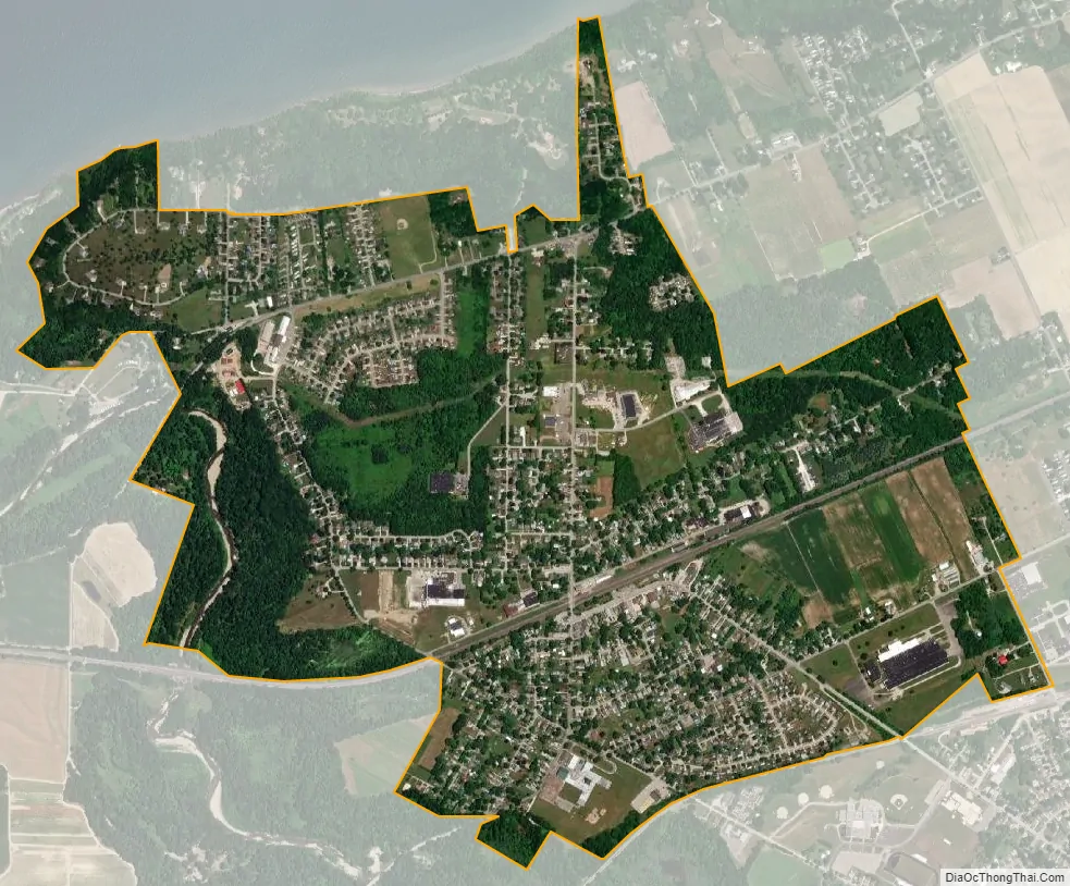
Lake City city Satellite Map
Geography
Lake City is located in western Erie County at 42°1′2″N 80°20′48″W / 42.01722°N 80.34667°W / 42.01722; -80.34667 (42.017349, -80.346641). It is bordered to the south by the borough of Girard, to the east and west and partially to the north by Girard Township, and partially to the north by Lake Erie.
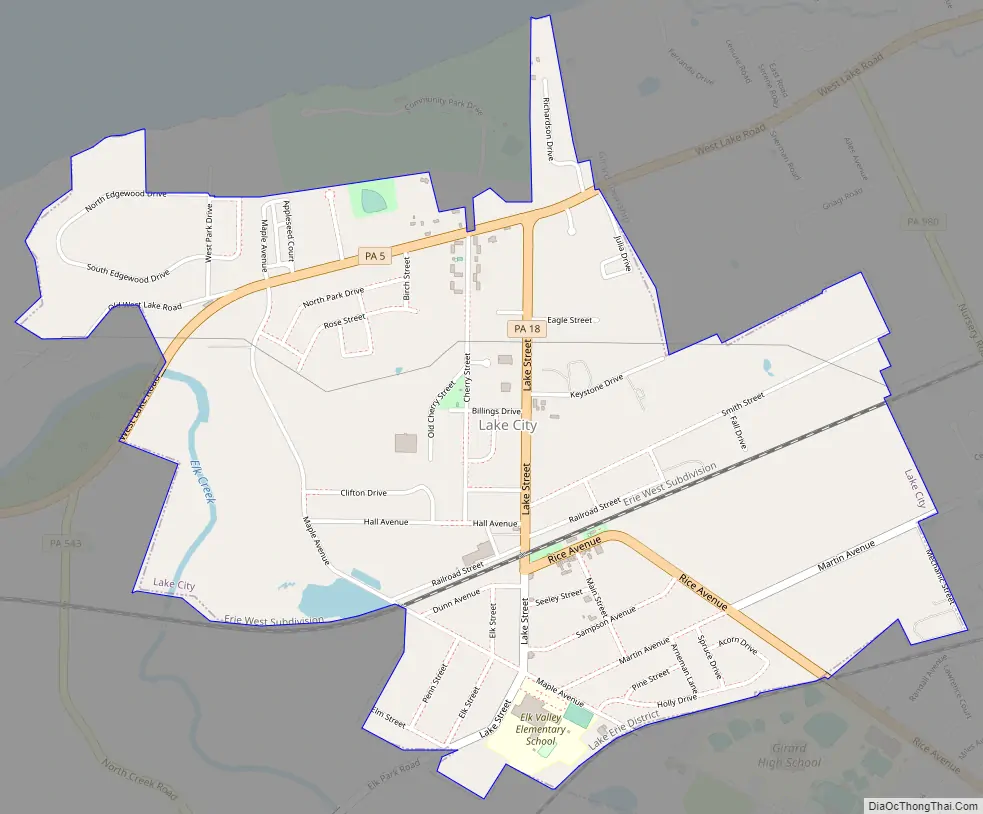
According to the United States Census Bureau, the borough has a total area of 1.8 square miles (4.7 km), of which 0.01 square miles (0.02 km), or 0.47%, is water. Elk Creek passes through the westernmost part of the borough, then enters Lake Erie just west of the borough limits.
Lake City is served by two Pennsylvania state routes: Pennsylvania Route 5 running east/west as West Lake Road, and Pennsylvania Route 18 running north/south as Lake Street and Rice Avenue. PA 5 leads northeast 4 miles (6 km) to Avonia and southwest 13 miles (21 km) to Conneaut, Ohio, while PA 18 leads south into Girard. Erie is 15 miles (24 km) to the northeast. Most streets in Lake City are low density residential avenues. There are no traffic lights in Lake City.
See also
Map of Pennsylvania State and its subdivision:- Adams
- Allegheny
- Armstrong
- Beaver
- Bedford
- Berks
- Blair
- Bradford
- Bucks
- Butler
- Cambria
- Cameron
- Carbon
- Centre
- Chester
- Clarion
- Clearfield
- Clinton
- Columbia
- Crawford
- Cumberland
- Dauphin
- Delaware
- Elk
- Erie
- Fayette
- Forest
- Franklin
- Fulton
- Greene
- Huntingdon
- Indiana
- Jefferson
- Juniata
- Lackawanna
- Lancaster
- Lawrence
- Lebanon
- Lehigh
- Luzerne
- Lycoming
- Mc Kean
- Mercer
- Mifflin
- Monroe
- Montgomery
- Montour
- Northampton
- Northumberland
- Perry
- Philadelphia
- Pike
- Potter
- Schuylkill
- Snyder
- Somerset
- Sullivan
- Susquehanna
- Tioga
- Union
- Venango
- Warren
- Washington
- Wayne
- Westmoreland
- Wyoming
- York
- Alabama
- Alaska
- Arizona
- Arkansas
- California
- Colorado
- Connecticut
- Delaware
- District of Columbia
- Florida
- Georgia
- Hawaii
- Idaho
- Illinois
- Indiana
- Iowa
- Kansas
- Kentucky
- Louisiana
- Maine
- Maryland
- Massachusetts
- Michigan
- Minnesota
- Mississippi
- Missouri
- Montana
- Nebraska
- Nevada
- New Hampshire
- New Jersey
- New Mexico
- New York
- North Carolina
- North Dakota
- Ohio
- Oklahoma
- Oregon
- Pennsylvania
- Rhode Island
- South Carolina
- South Dakota
- Tennessee
- Texas
- Utah
- Vermont
- Virginia
- Washington
- West Virginia
- Wisconsin
- Wyoming