Langhorne Manor is a borough in Bucks County, Pennsylvania. The population was 1,422 at the 2010 census, a 55.6% increase from the 2000 census. The mayor of Langhorne Manor is Bob Byrne.
| Name: | Langhorne Manor borough |
|---|---|
| LSAD Code: | 21 |
| LSAD Description: | borough (suffix) |
| State: | Pennsylvania |
| County: | Bucks County |
| Elevation: | 220 ft (70 m) |
| Total Area: | 0.60 sq mi (1.56 km²) |
| Land Area: | 0.60 sq mi (1.55 km²) |
| Water Area: | 0.01 sq mi (0.01 km²) |
| Total Population: | 1,496 |
| Population Density: | 2,501.67/sq mi (965.67/km²) |
| ZIP code: | 19047 |
| FIPS code: | 4241416 |
| Website: | www.langhornemanor.org |
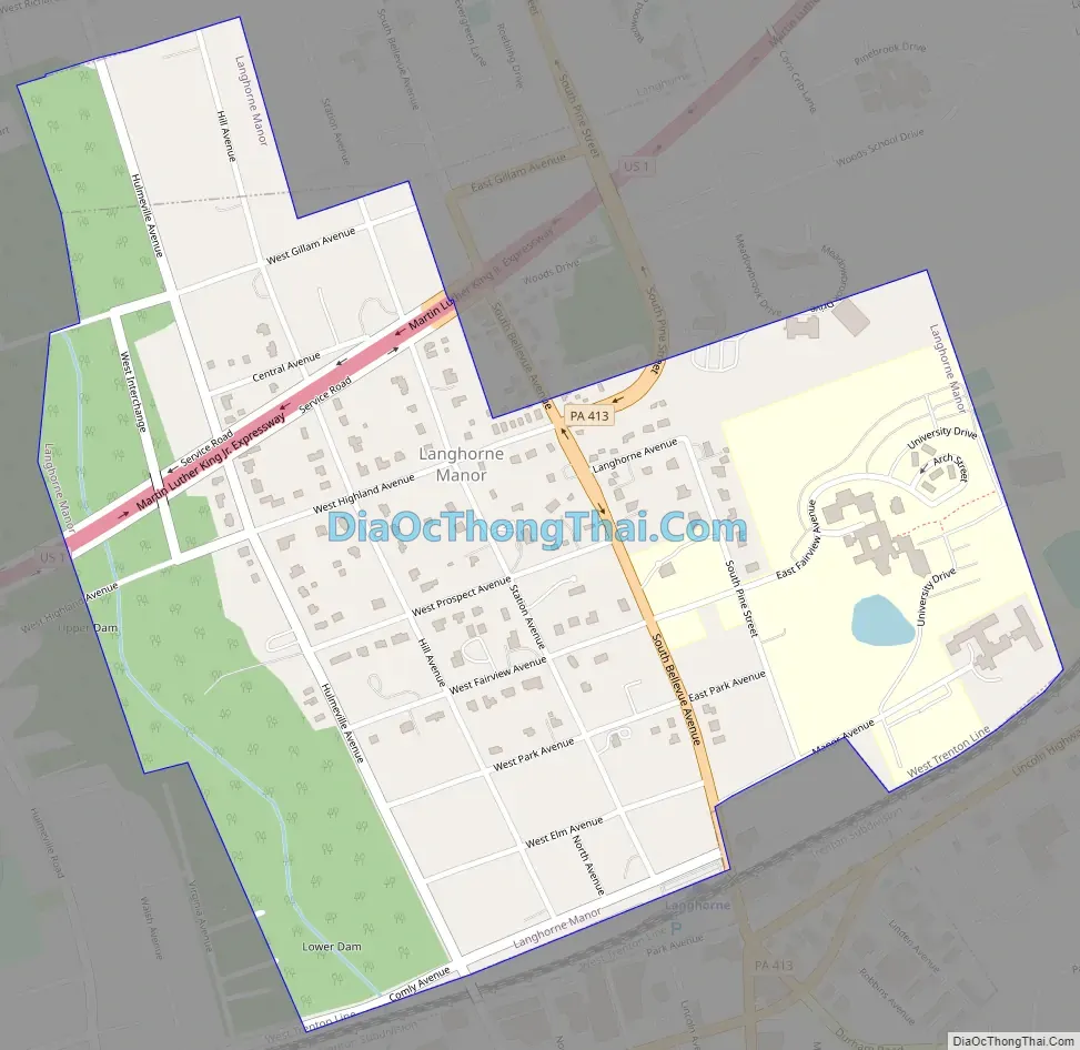
Online Interactive Map
Click on ![]() to view map in "full screen" mode.
to view map in "full screen" mode.
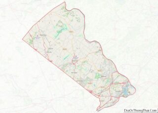
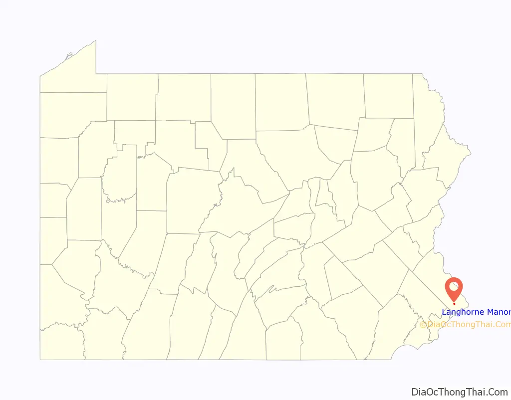
Langhorne Manor location map. Where is Langhorne Manor borough?

History
Langhorne Manor was named for Jeremiah Langhorne.
The Langhorne Manor School was listed on the National Register of Historic Places in 2008.
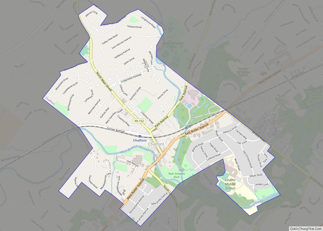
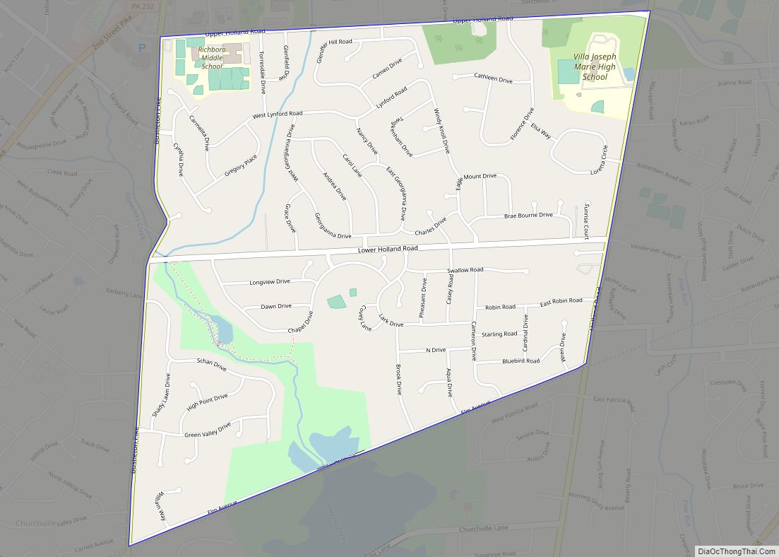
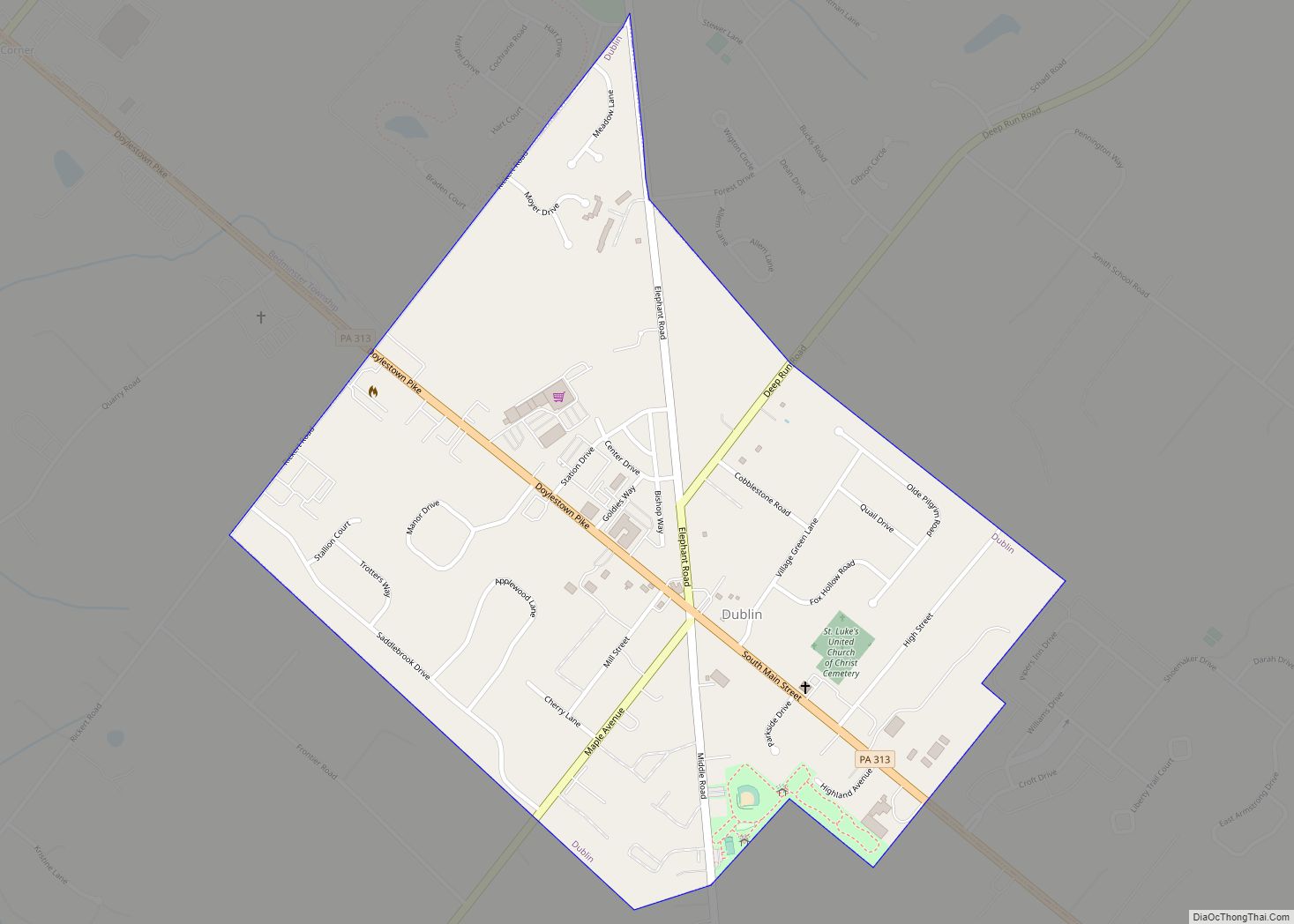
Langhorne Manor Road Map
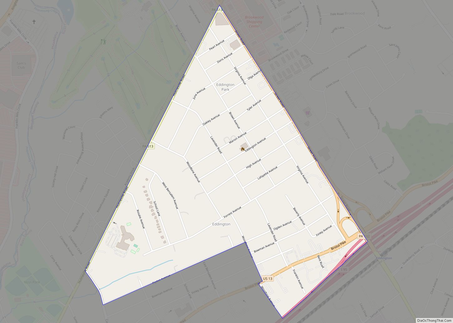
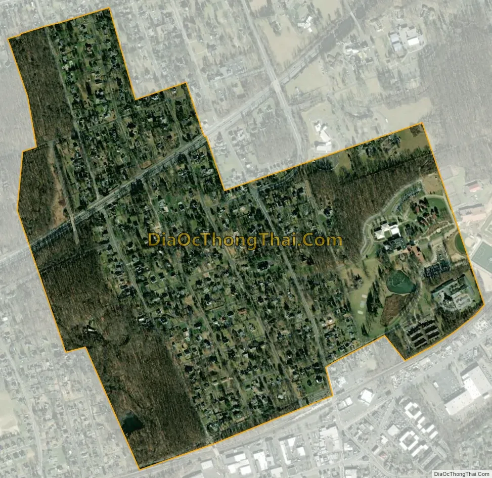
Langhorne Manor city Satellite Map
Geography
Langhorne Manor is located at 40°9′57″N 74°55′4″W / 40.16583°N 74.91778°W / 40.16583; -74.91778 (40.165859, -74.917795). According to the U.S. Census Bureau, the borough has a total area of 0.6 square miles (1.6 km), all land.
See also
Map of Pennsylvania State and its subdivision:- Adams
- Allegheny
- Armstrong
- Beaver
- Bedford
- Berks
- Blair
- Bradford
- Bucks
- Butler
- Cambria
- Cameron
- Carbon
- Centre
- Chester
- Clarion
- Clearfield
- Clinton
- Columbia
- Crawford
- Cumberland
- Dauphin
- Delaware
- Elk
- Erie
- Fayette
- Forest
- Franklin
- Fulton
- Greene
- Huntingdon
- Indiana
- Jefferson
- Juniata
- Lackawanna
- Lancaster
- Lawrence
- Lebanon
- Lehigh
- Luzerne
- Lycoming
- Mc Kean
- Mercer
- Mifflin
- Monroe
- Montgomery
- Montour
- Northampton
- Northumberland
- Perry
- Philadelphia
- Pike
- Potter
- Schuylkill
- Snyder
- Somerset
- Sullivan
- Susquehanna
- Tioga
- Union
- Venango
- Warren
- Washington
- Wayne
- Westmoreland
- Wyoming
- York
- Alabama
- Alaska
- Arizona
- Arkansas
- California
- Colorado
- Connecticut
- Delaware
- District of Columbia
- Florida
- Georgia
- Hawaii
- Idaho
- Illinois
- Indiana
- Iowa
- Kansas
- Kentucky
- Louisiana
- Maine
- Maryland
- Massachusetts
- Michigan
- Minnesota
- Mississippi
- Missouri
- Montana
- Nebraska
- Nevada
- New Hampshire
- New Jersey
- New Mexico
- New York
- North Carolina
- North Dakota
- Ohio
- Oklahoma
- Oregon
- Pennsylvania
- Rhode Island
- South Carolina
- South Dakota
- Tennessee
- Texas
- Utah
- Vermont
- Virginia
- Washington
- West Virginia
- Wisconsin
- Wyoming