Langhorne Borough is a borough in Bucks County, Pennsylvania. The population was 1,622 at the time of the 2010 census.
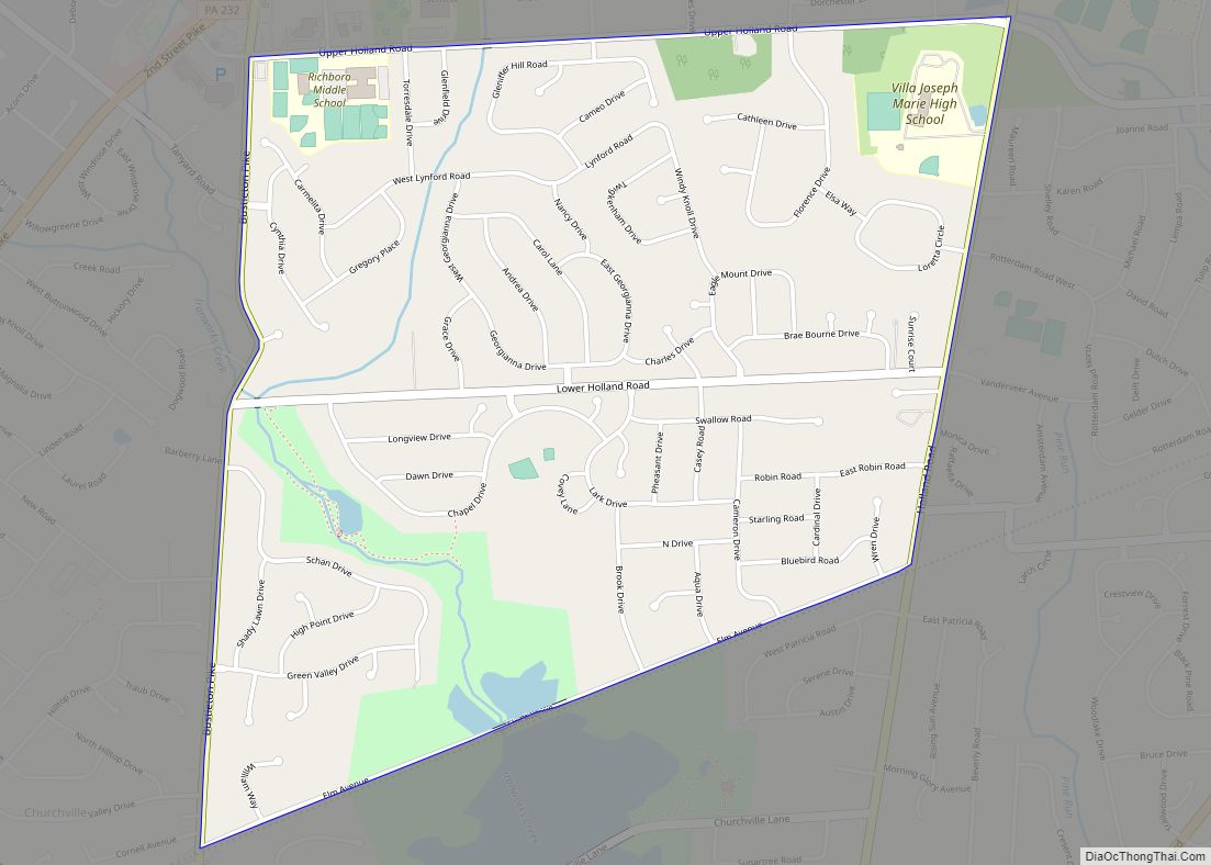
The mailing address “Langhorne” is used for Langhorne Borough, but it is also used broadly to describe the majority of surrounding Middletown Township, which for the most part uses Langhorne’s ZIP code of 19047. Sesame Place, while physically located in surrounding Middletown Township, has Langhorne as its mailing address. Langhorne also includes the northeastern part of Lower Southampton Township, which uses the ZIP code 19053.
Langhorne Borough is approximately six miles west of the Delaware River.
Langhorne Manor is a separate borough that borders Langhorne Borough proper to the south.
| Name: | Langhorne borough |
|---|---|
| LSAD Code: | 21 |
| LSAD Description: | borough (suffix) |
| State: | Pennsylvania |
| County: | Bucks County |
| Incorporated: | 1876 |
| Elevation: | 213 ft (65 m) |
| Total Area: | 0.49 sq mi (1.28 km²) |
| Land Area: | 0.49 sq mi (1.27 km²) |
| Water Area: | 0.00 sq mi (0.01 km²) |
| Total Population: | 1,643 |
| Population Density: | 3,339.43/sq mi (1,289.42/km²) |
| FIPS code: | 4241392 |
| Website: | www.langhorneborough.com |
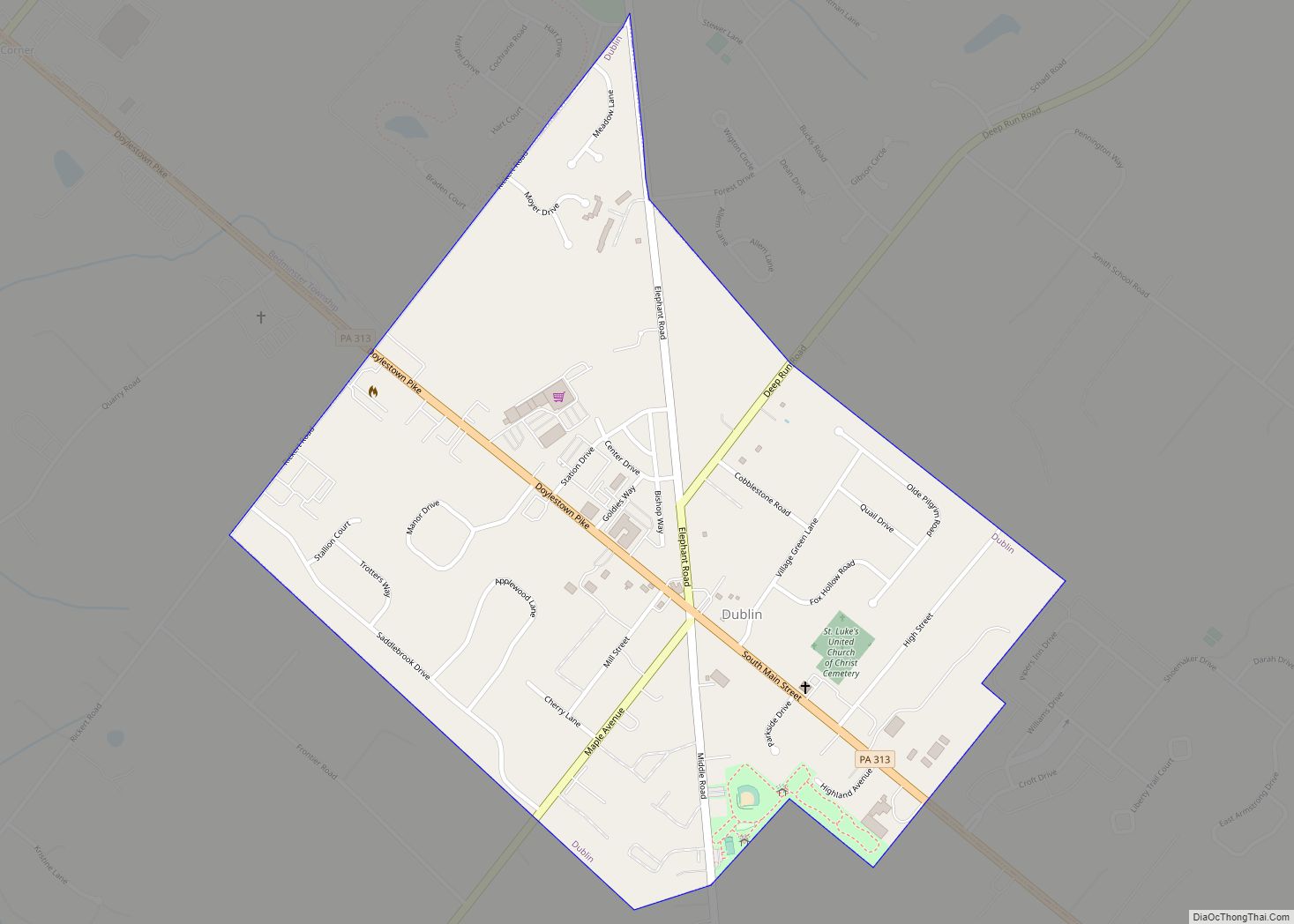
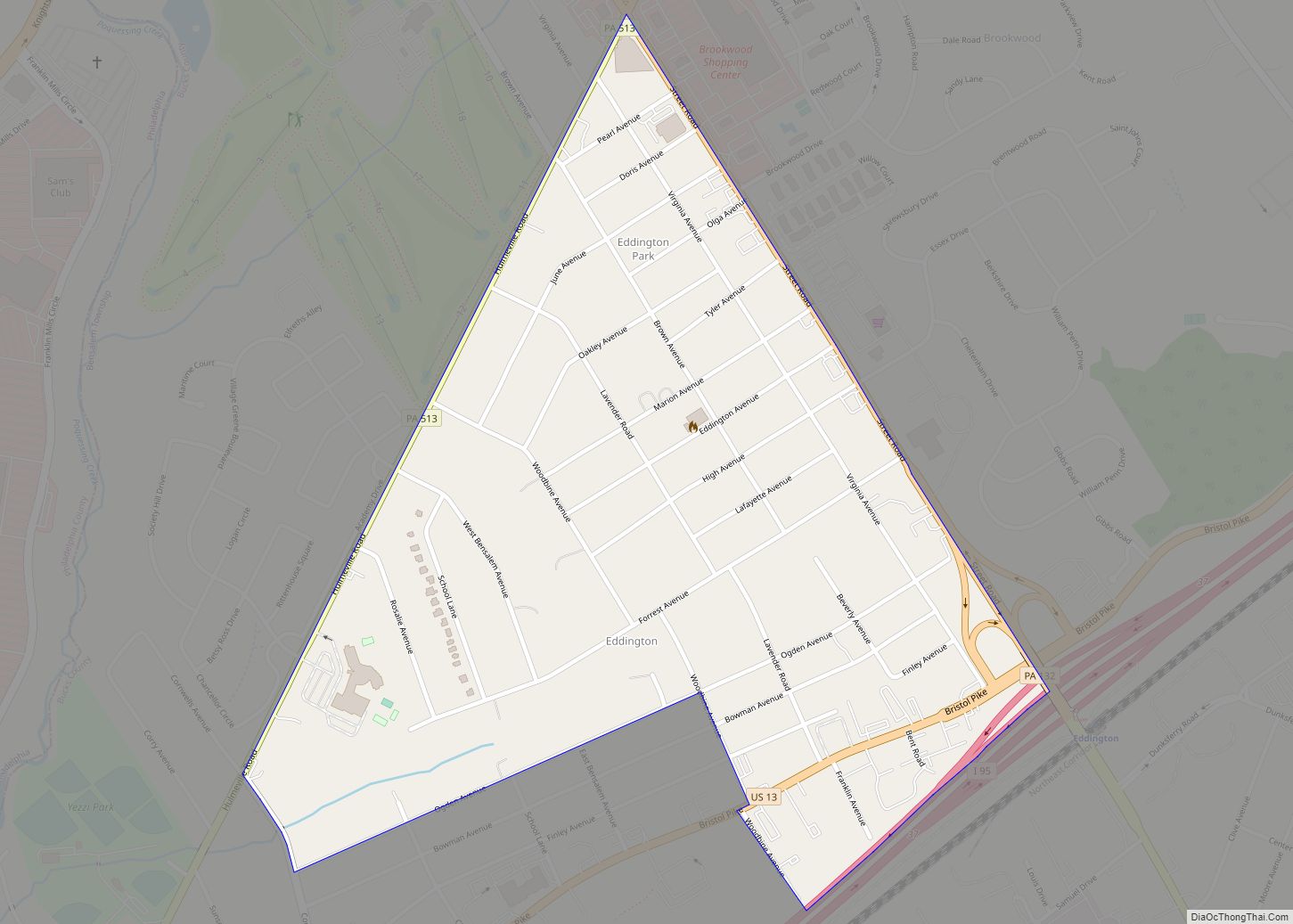
Online Interactive Map
Click on ![]() to view map in "full screen" mode.
to view map in "full screen" mode.
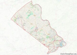
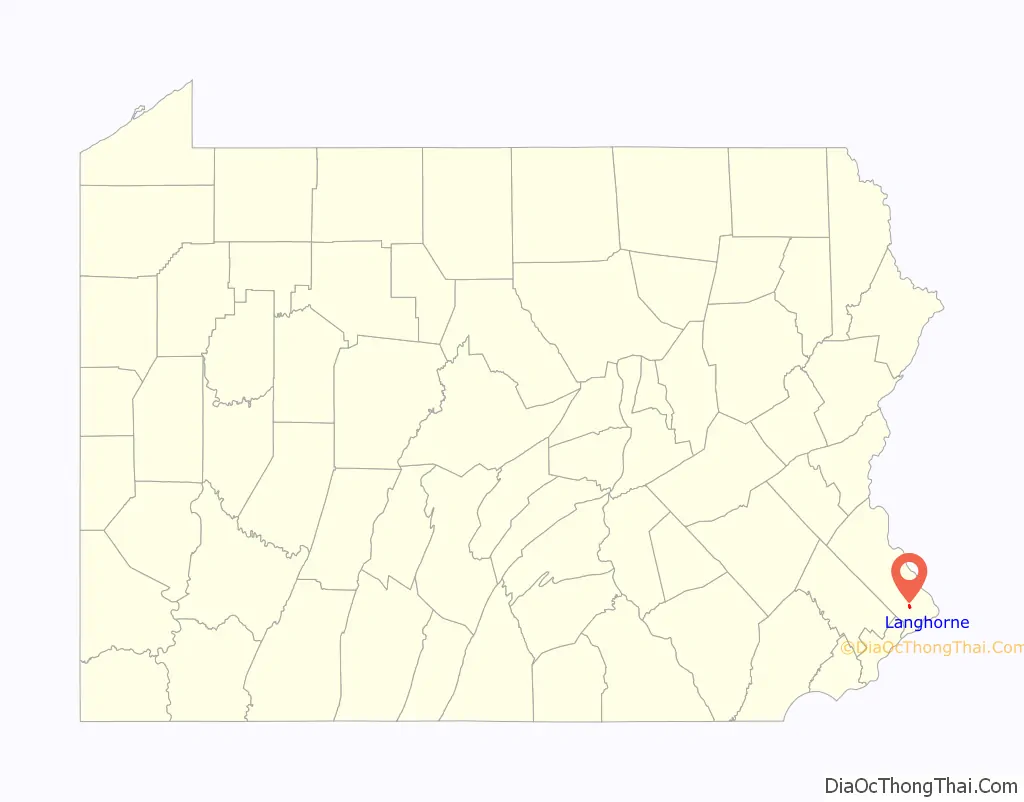
Langhorne location map. Where is Langhorne borough?

History
Langhorne began in the 17th century at the intersection of older Lenni-Lenape paths. The earliest established settlers (three Dutch and two British) arrived in the early 18th century. One of the area’s first notable residents was Joseph Richardson, who established a store and inn in the 1730s. The road from Bristol grew into a very important transportation center between Trenton and Philadelphia in the later 18th century and 19th centuries, with trade and travelers contributing to the economic growth of the area. Langhorne eventually became the stagecoach transportation hub of Bucks County, transporting people between Trenton and Philadelphia and was then known as Four Lanes End, later known as Richardsons Corner.
The first mention of Attleborough was recorded on a deed in the Recorder’s Office, Deed Book 6, page 210, November 7, 1737. Isaac Hicks laid out a plan for “Washington’s Square in Attleborough” in November 1783. Historian William J. Buck wrote “A resident of the place has informed me that this name is of local origin; that a William Richardson Atlee (son of Colonel Samuel Atlee of the Revolutionary Army), a lawyer and son-in-law of General Wayne, resided here about 1790 or perhaps a little earlier. A fire engine was ordered to be made, for which £50 had been raised. When it was finished, word was sent from Philadelphia inquiring what name they wanted it called. Someone suggested that, as Mr. Atlee had been one of the principal contributors, it should be called after him. When the engine arrived, it was found to have painted on its sides Atleebury, which still to be seen. Shortly afterwards a post office was established here, when it was called Attleborough, a slight change from the original.” However, the post office was not established until April 1, 1806, Richard Croasdale, the first postmaster.
The village became known as Attleborough until 1876, when it was incorporated and named for Jeremiah Langhorne, an early resident of the area and former chief justice of the Supreme Court of Pennsylvania. Upon the arrival of the railroad in 1876, residents of Attleborough and Hulmeville disputed over what the name of the station should be. The president of the North Pennsylvania Railroad, Franklin A. Comly, settled the matter by name the station Langhorne.
A school of higher learning was established in 1835 named successively Minerva Seminary, Attleborough High School, Attleboro Academy, and Bellevue Institute. Samuel J. Randall of Philadelphia, a member of the United States House of Representatives from 1875 to 1890 and speaker of the United States House of Representatives from 1876 to 1881, attended this educational institute.
In the late 19th century and early 20th century, Langhorne continued to grow as wealthy Philadelphians constructed large homes and businesses along Maple and Bellevue Avenues.
The Langhorne Historic District, former Langhorne Library, Joseph Richardson House, and Tomlinson-Huddleston House are listed on the National Register of Historic Places.
Langhorne was the base of eGames, the publisher of the cult classic Speedy Eggbert.
Langhorne Road Map

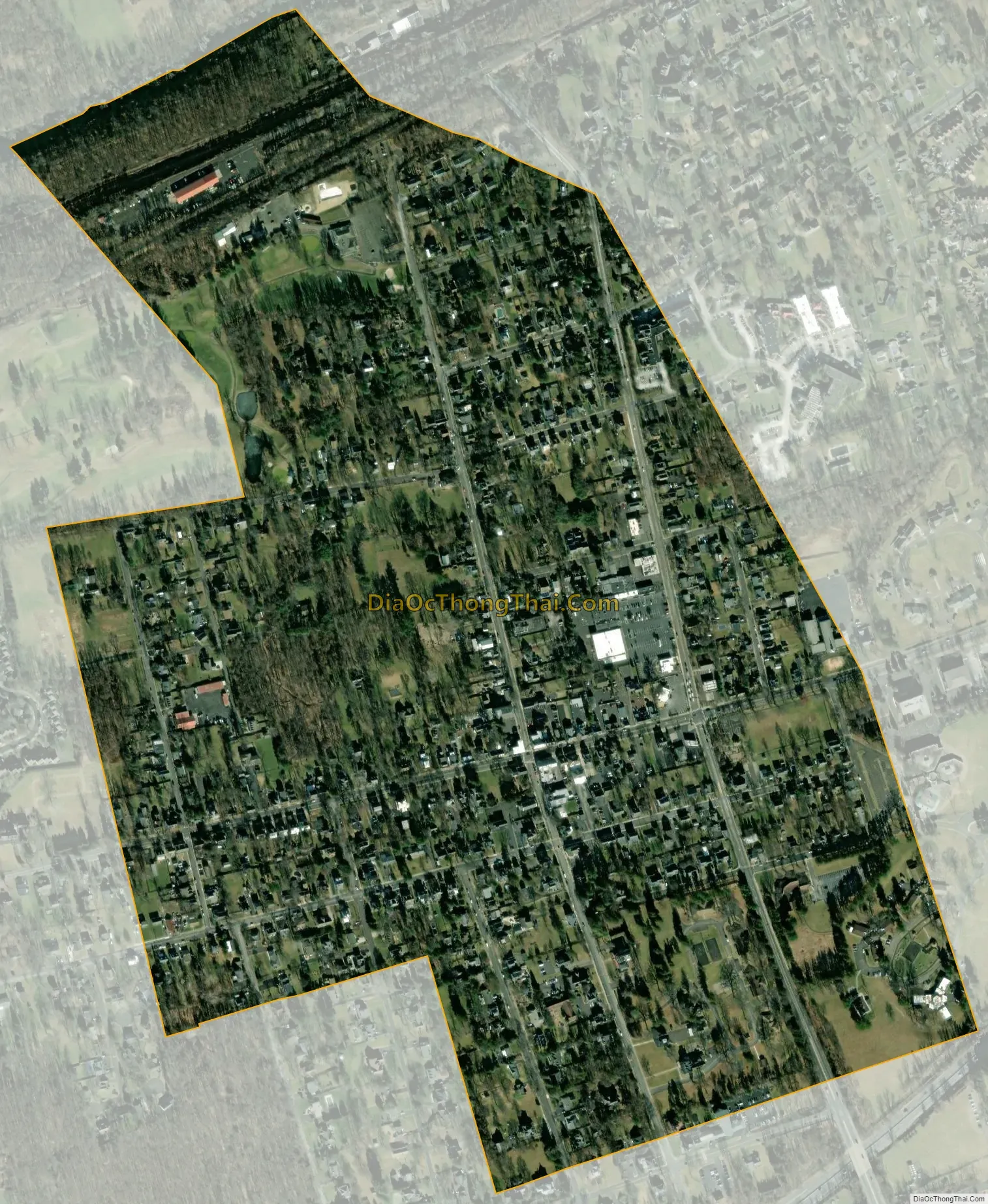
Langhorne city Satellite Map
Geography
Langhorne Borough is located at 40°10′39″N 74°55′8″W / 40.17750°N 74.91889°W / 40.17750; -74.91889 (40.177409, -74.918880). According to the U.S. Census Bureau, the borough has a total area of 0.5 square miles (1.3 km), all land.
The northern border of Langhorne follows the Neshaminy Creek.
See also
Map of Pennsylvania State and its subdivision:- Adams
- Allegheny
- Armstrong
- Beaver
- Bedford
- Berks
- Blair
- Bradford
- Bucks
- Butler
- Cambria
- Cameron
- Carbon
- Centre
- Chester
- Clarion
- Clearfield
- Clinton
- Columbia
- Crawford
- Cumberland
- Dauphin
- Delaware
- Elk
- Erie
- Fayette
- Forest
- Franklin
- Fulton
- Greene
- Huntingdon
- Indiana
- Jefferson
- Juniata
- Lackawanna
- Lancaster
- Lawrence
- Lebanon
- Lehigh
- Luzerne
- Lycoming
- Mc Kean
- Mercer
- Mifflin
- Monroe
- Montgomery
- Montour
- Northampton
- Northumberland
- Perry
- Philadelphia
- Pike
- Potter
- Schuylkill
- Snyder
- Somerset
- Sullivan
- Susquehanna
- Tioga
- Union
- Venango
- Warren
- Washington
- Wayne
- Westmoreland
- Wyoming
- York
- Alabama
- Alaska
- Arizona
- Arkansas
- California
- Colorado
- Connecticut
- Delaware
- District of Columbia
- Florida
- Georgia
- Hawaii
- Idaho
- Illinois
- Indiana
- Iowa
- Kansas
- Kentucky
- Louisiana
- Maine
- Maryland
- Massachusetts
- Michigan
- Minnesota
- Mississippi
- Missouri
- Montana
- Nebraska
- Nevada
- New Hampshire
- New Jersey
- New Mexico
- New York
- North Carolina
- North Dakota
- Ohio
- Oklahoma
- Oregon
- Pennsylvania
- Rhode Island
- South Carolina
- South Dakota
- Tennessee
- Texas
- Utah
- Vermont
- Virginia
- Washington
- West Virginia
- Wisconsin
- Wyoming