Laurel Run is a borough in Luzerne County, Pennsylvania, United States. The population was 560 at the 2020 census.
| Name: | Laurel Run borough |
|---|---|
| LSAD Code: | 21 |
| LSAD Description: | borough (suffix) |
| State: | Pennsylvania |
| County: | Luzerne County |
| Incorporated: | 1881 |
| Total Area: | 5.10 sq mi (13.21 km²) |
| Land Area: | 5.10 sq mi (13.21 km²) |
| Water Area: | 0.00 sq mi (0.00 km²) |
| Total Population: | 558 |
| Population Density: | 109.39/sq mi (42.23/km²) |
| Area code: | 570 |
| FIPS code: | 4241848 |
| Website: | www.laurelrunpa.net |
Online Interactive Map
Click on ![]() to view map in "full screen" mode.
to view map in "full screen" mode.
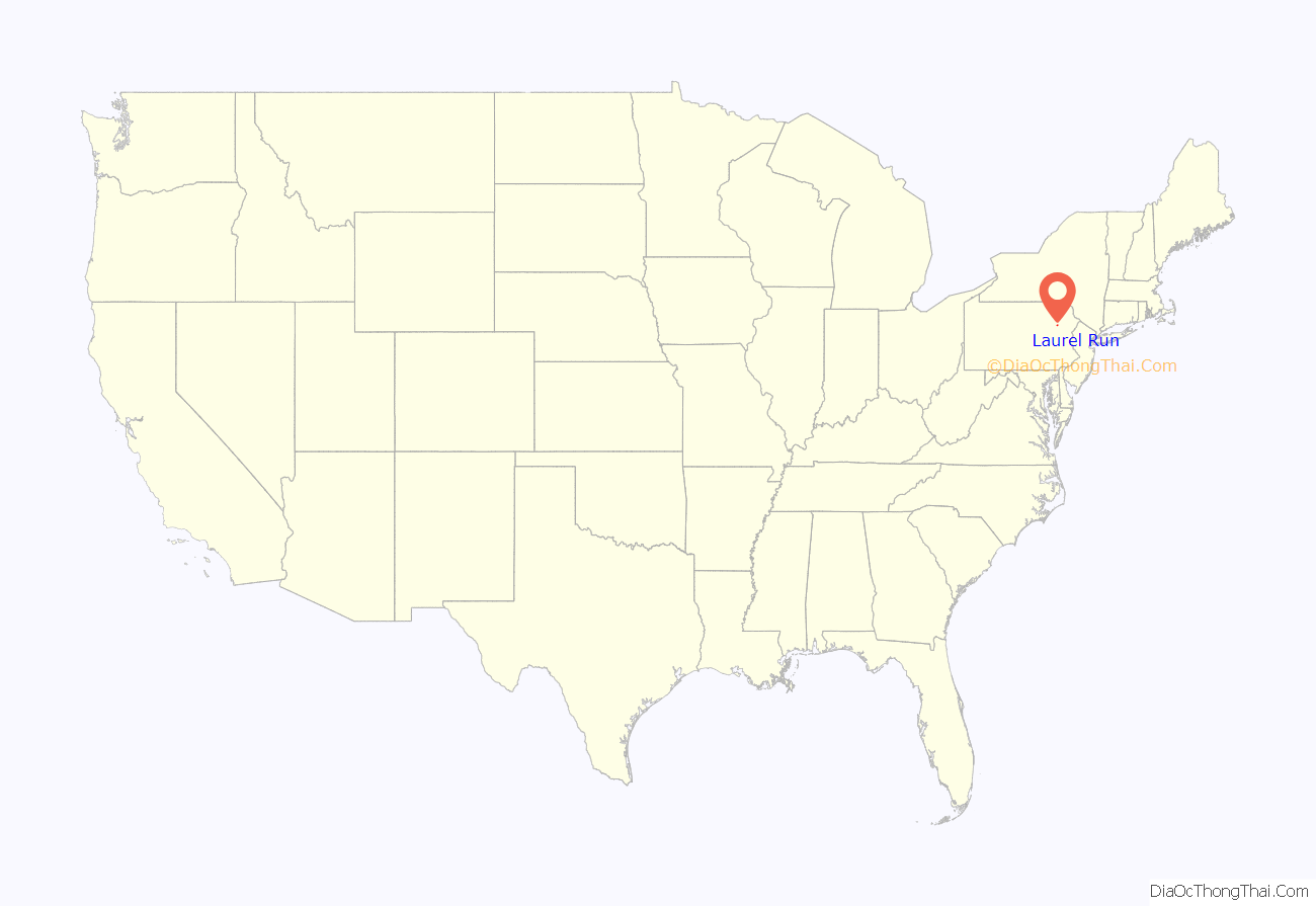
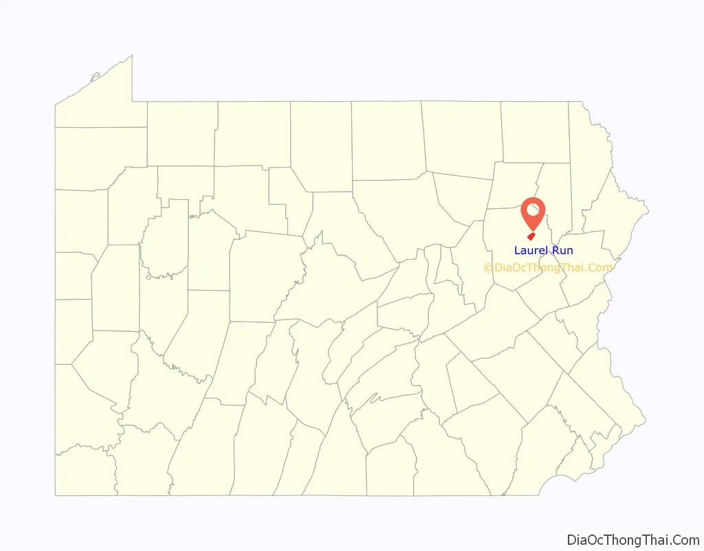
Laurel Run location map. Where is Laurel Run borough?
History
Laurel Run was incorporated as a borough in 1881. The borough is home to one of the oldest continuing motorsport events in Pennsylvania. Since 1906, the annual Giants Despair Hillclimb has challenged motorists to race uphill on a one-mile stretch of East Northampton Street.
In 1915, a mine fire started in the borough’s Red Ash mine. The mine was excavated and, although the fire was declared extinguished in 1973, the fire is still burning. Approximately 166 homes, two grocery stores, a church, a school, and a lumberyard were razed and relocated through a program administered by the Appalachian Regional Commission.
Laurel Run Road Map
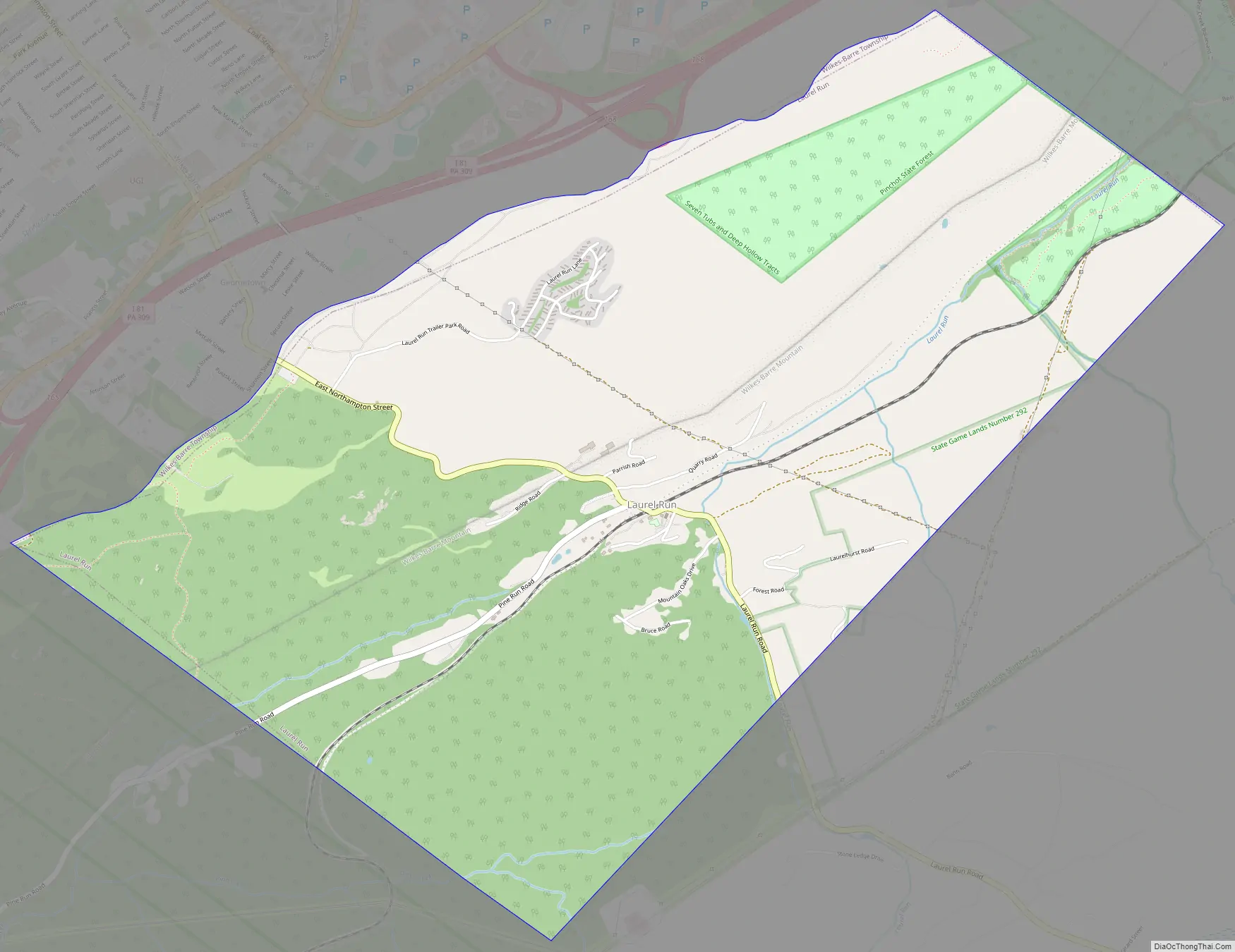
Laurel Run city Satellite Map

Geography
Laurel Run is located at 41°13′2″N 75°50′29″W / 41.21722°N 75.84139°W / 41.21722; -75.84139 (41.217222, -75.841456).
According to the United States Census Bureau, the borough has a total area of 5.2 square miles (13.4 km), all land. The borough is sparsely populated. Most of Laurel Run consists of mountainous forests. Laurel Run, a tributary of Mill Creek, flows through much of the borough.
See also
Map of Pennsylvania State and its subdivision:- Adams
- Allegheny
- Armstrong
- Beaver
- Bedford
- Berks
- Blair
- Bradford
- Bucks
- Butler
- Cambria
- Cameron
- Carbon
- Centre
- Chester
- Clarion
- Clearfield
- Clinton
- Columbia
- Crawford
- Cumberland
- Dauphin
- Delaware
- Elk
- Erie
- Fayette
- Forest
- Franklin
- Fulton
- Greene
- Huntingdon
- Indiana
- Jefferson
- Juniata
- Lackawanna
- Lancaster
- Lawrence
- Lebanon
- Lehigh
- Luzerne
- Lycoming
- Mc Kean
- Mercer
- Mifflin
- Monroe
- Montgomery
- Montour
- Northampton
- Northumberland
- Perry
- Philadelphia
- Pike
- Potter
- Schuylkill
- Snyder
- Somerset
- Sullivan
- Susquehanna
- Tioga
- Union
- Venango
- Warren
- Washington
- Wayne
- Westmoreland
- Wyoming
- York
- Alabama
- Alaska
- Arizona
- Arkansas
- California
- Colorado
- Connecticut
- Delaware
- District of Columbia
- Florida
- Georgia
- Hawaii
- Idaho
- Illinois
- Indiana
- Iowa
- Kansas
- Kentucky
- Louisiana
- Maine
- Maryland
- Massachusetts
- Michigan
- Minnesota
- Mississippi
- Missouri
- Montana
- Nebraska
- Nevada
- New Hampshire
- New Jersey
- New Mexico
- New York
- North Carolina
- North Dakota
- Ohio
- Oklahoma
- Oregon
- Pennsylvania
- Rhode Island
- South Carolina
- South Dakota
- Tennessee
- Texas
- Utah
- Vermont
- Virginia
- Washington
- West Virginia
- Wisconsin
- Wyoming


