Leith-Hatfield is a census-designated place (CDP) in Fayette County, Pennsylvania, United States. The population was 2,546 at the 2010 census, down from 2,820 at the 2000 census. The twin villages of Leith and Hatfield are located in South Union Township.
| Name: | Leith-Hatfield CDP |
|---|---|
| LSAD Code: | 57 |
| LSAD Description: | CDP (suffix) |
| State: | Pennsylvania |
| County: | Fayette County |
| Total Area: | 1.85 sq mi (4.79 km²) |
| Land Area: | 1.85 sq mi (4.79 km²) |
| Water Area: | 0.00 sq mi (0.00 km²) |
| Total Population: | 2,672 |
| Population Density: | 1,445.89/sq mi (558.35/km²) |
| Area code: | 724 |
| FIPS code: | 4242596 |
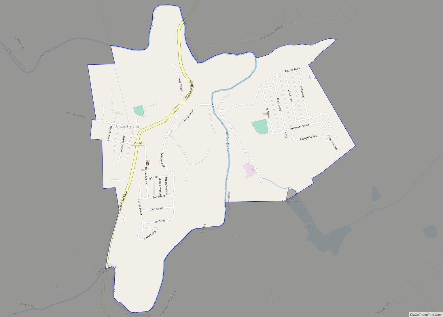
Online Interactive Map
Click on ![]() to view map in "full screen" mode.
to view map in "full screen" mode.
Leith-Hatfield location map. Where is Leith-Hatfield CDP?


Leith-Hatfield Road Map

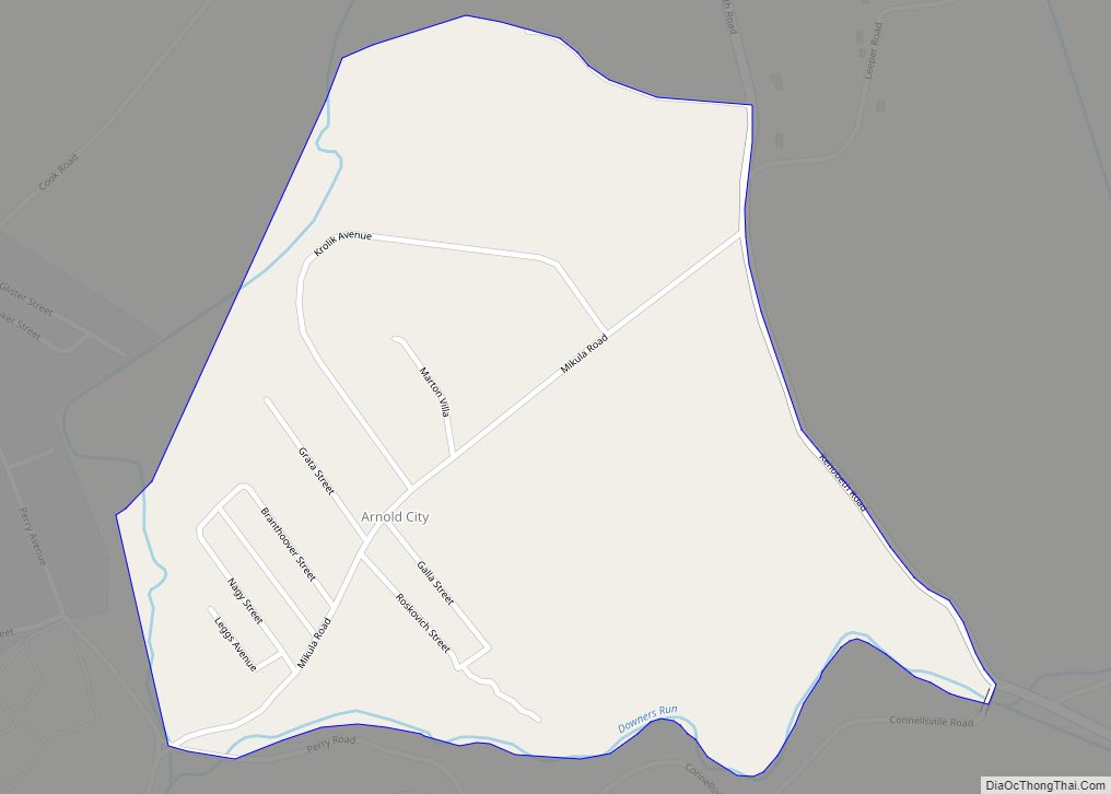
Leith-Hatfield city Satellite Map

Geography
Leith-Hatfield is located in central Fayette County at 39°52′56″N 79°43′50″W / 39.88222°N 79.73056°W / 39.88222; -79.73056 (39.882317, -79.730563). It is bordered to the north by the city of Uniontown, the county seat. The CDP is bordered by Hopwood to the northeast and by Georges Township to the south.
The Mon–Fayette Expressway, carrying Pennsylvania Route 43, U.S. Route 40 and U.S. Route 119 on a bypass of Uniontown, passes through the western part of the CDP. US 40 diverges east from the expressway at an interchange in the southwestern corner of the CDP, continuing as a four-lane freeway. The Mon–Fayette Expressway leads northwest 43 miles (69 km) to Jefferson Hills in the suburbs south of Pittsburgh, and southwest 15 miles (24 km) to Interstate 68 east of Morgantown, West Virginia. US 119 leads northeast 15 miles (24 km) to Connellsville, and US 40 leads southeast 62 miles (100 km) to Cumberland, Maryland.
According to the United States Census Bureau, the Leith-Hatfield CDP has a total area of 1.85 square miles (4.79 km), all land.
See also
Map of Pennsylvania State and its subdivision:- Adams
- Allegheny
- Armstrong
- Beaver
- Bedford
- Berks
- Blair
- Bradford
- Bucks
- Butler
- Cambria
- Cameron
- Carbon
- Centre
- Chester
- Clarion
- Clearfield
- Clinton
- Columbia
- Crawford
- Cumberland
- Dauphin
- Delaware
- Elk
- Erie
- Fayette
- Forest
- Franklin
- Fulton
- Greene
- Huntingdon
- Indiana
- Jefferson
- Juniata
- Lackawanna
- Lancaster
- Lawrence
- Lebanon
- Lehigh
- Luzerne
- Lycoming
- Mc Kean
- Mercer
- Mifflin
- Monroe
- Montgomery
- Montour
- Northampton
- Northumberland
- Perry
- Philadelphia
- Pike
- Potter
- Schuylkill
- Snyder
- Somerset
- Sullivan
- Susquehanna
- Tioga
- Union
- Venango
- Warren
- Washington
- Wayne
- Westmoreland
- Wyoming
- York
- Alabama
- Alaska
- Arizona
- Arkansas
- California
- Colorado
- Connecticut
- Delaware
- District of Columbia
- Florida
- Georgia
- Hawaii
- Idaho
- Illinois
- Indiana
- Iowa
- Kansas
- Kentucky
- Louisiana
- Maine
- Maryland
- Massachusetts
- Michigan
- Minnesota
- Mississippi
- Missouri
- Montana
- Nebraska
- Nevada
- New Hampshire
- New Jersey
- New Mexico
- New York
- North Carolina
- North Dakota
- Ohio
- Oklahoma
- Oregon
- Pennsylvania
- Rhode Island
- South Carolina
- South Dakota
- Tennessee
- Texas
- Utah
- Vermont
- Virginia
- Washington
- West Virginia
- Wisconsin
- Wyoming