Mapleton is a borough in Huntingdon County, Pennsylvania, United States. The population was 441 at the 2010 census. It is located on the Juniata River, which is a tributary of the Susquehanna River.
| Name: | Mapleton borough |
|---|---|
| LSAD Code: | 21 |
| LSAD Description: | borough (suffix) |
| State: | Pennsylvania |
| County: | Huntingdon County |
| Elevation: | 604 ft (184 m) |
| Total Area: | 0.19 sq mi (0.50 km²) |
| Land Area: | 0.18 sq mi (0.47 km²) |
| Water Area: | 0.01 sq mi (0.02 km²) |
| Total Population: | 418 |
| Population Density: | 2,284.15/sq mi (882.32/km²) |
| Area code: | 814 |
| FIPS code: | 4247248 |
| Website: | http://www.mapleton-pa.com/index.htm |
Online Interactive Map
Click on ![]() to view map in "full screen" mode.
to view map in "full screen" mode.
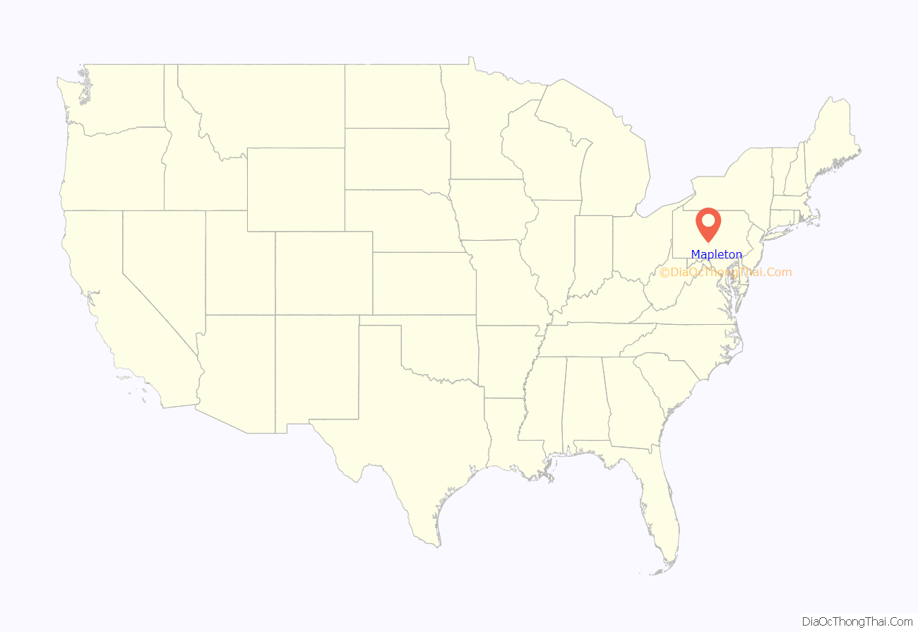
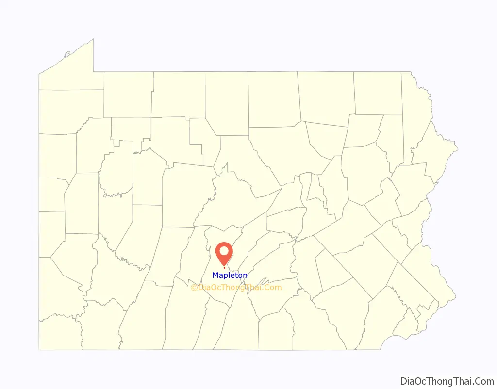
Mapleton location map. Where is Mapleton borough?
History
Mapleton was founded when the Pennsylvania Railroad was extended to that point. The community was named for a grove of maple trees near the original town site.
The H.O. Andrews Feed Mill was listed on the National Register of Historic Places in 1990.
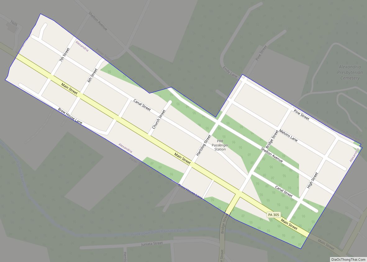
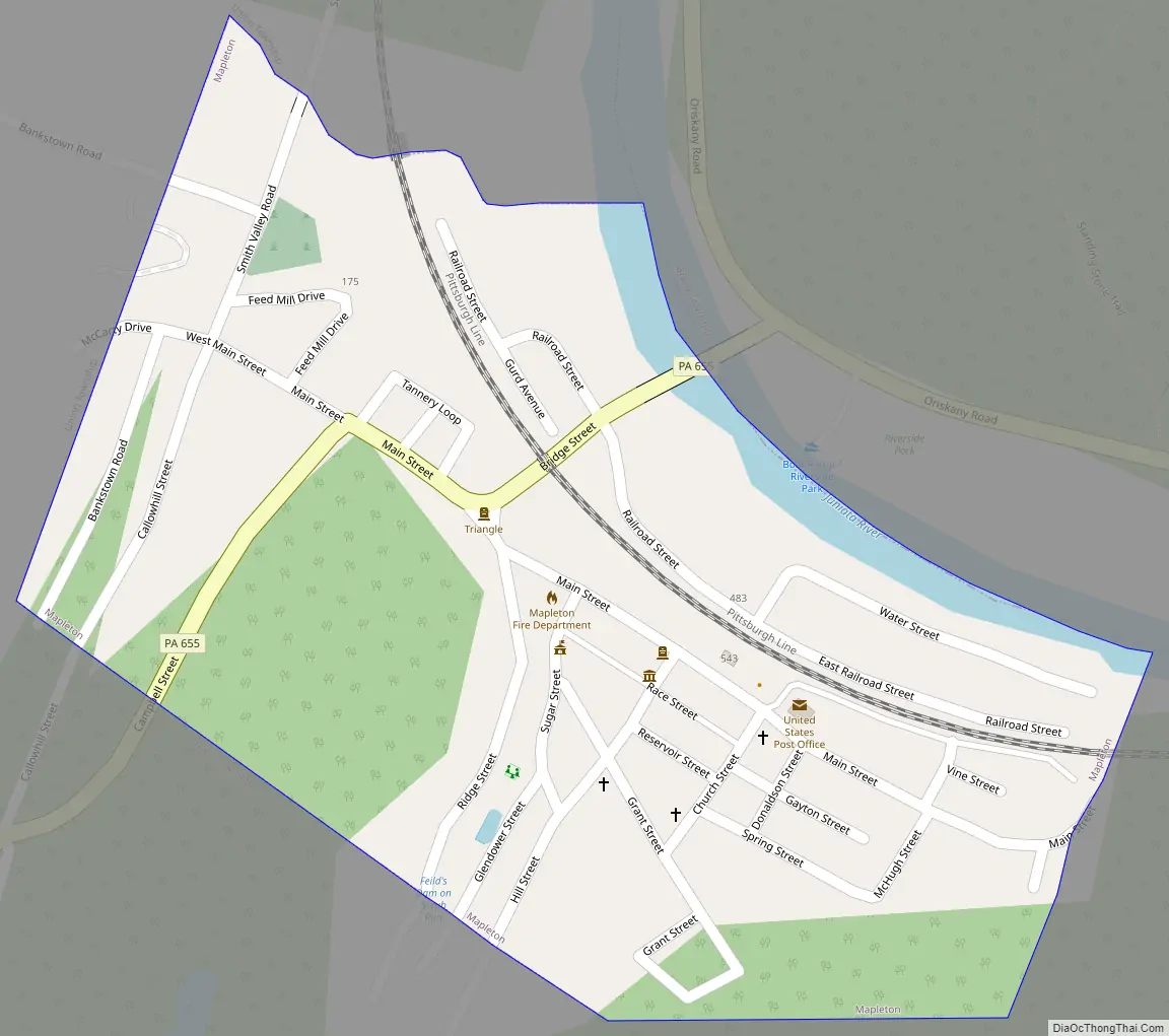
Mapleton Road Map
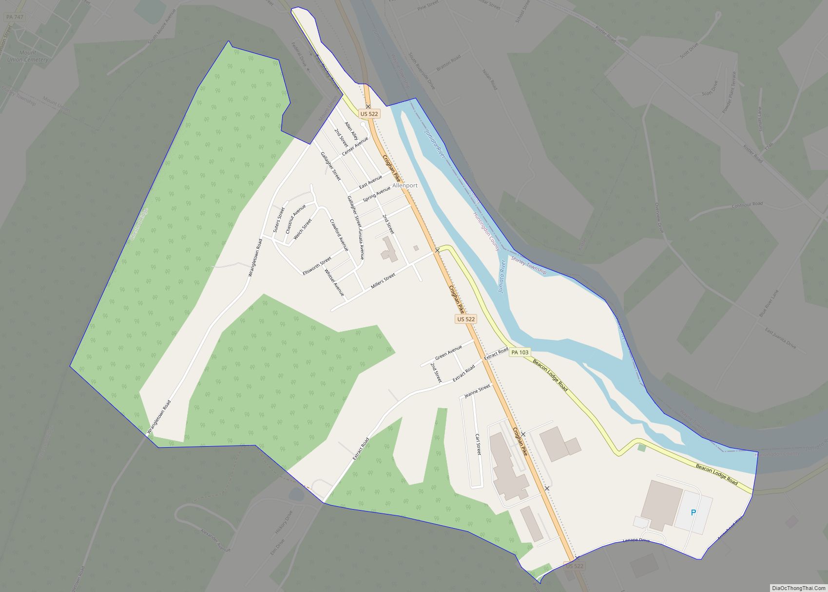
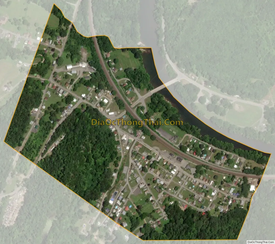
Mapleton city Satellite Map
Geography
Mapleton is located in east-central Huntingdon County at 40°23′31″N 77°56′25″W / 40.39194°N 77.94028°W / 40.39194; -77.94028 (40.392043, -77.940316), on the south bank of the Juniata River at the west entrance of that river’s water gap through Jacks Mountain. Pennsylvania Route 655 passes through the center of the borough, leading south 14 miles (23 km) to Saltillo and north 2 miles (3 km) to U.S. Route 22. US 22 leads east 4 miles (6 km) to Mount Union and northwest 8 miles (13 km) to Huntingdon, the county seat.
According to the United States Census Bureau, Mapleton has a total area of 0.19 square miles (0.5 km), of which 0.01 square miles (0.02 km), or 4.40%, are water.
See also
Map of Pennsylvania State and its subdivision:- Adams
- Allegheny
- Armstrong
- Beaver
- Bedford
- Berks
- Blair
- Bradford
- Bucks
- Butler
- Cambria
- Cameron
- Carbon
- Centre
- Chester
- Clarion
- Clearfield
- Clinton
- Columbia
- Crawford
- Cumberland
- Dauphin
- Delaware
- Elk
- Erie
- Fayette
- Forest
- Franklin
- Fulton
- Greene
- Huntingdon
- Indiana
- Jefferson
- Juniata
- Lackawanna
- Lancaster
- Lawrence
- Lebanon
- Lehigh
- Luzerne
- Lycoming
- Mc Kean
- Mercer
- Mifflin
- Monroe
- Montgomery
- Montour
- Northampton
- Northumberland
- Perry
- Philadelphia
- Pike
- Potter
- Schuylkill
- Snyder
- Somerset
- Sullivan
- Susquehanna
- Tioga
- Union
- Venango
- Warren
- Washington
- Wayne
- Westmoreland
- Wyoming
- York
- Alabama
- Alaska
- Arizona
- Arkansas
- California
- Colorado
- Connecticut
- Delaware
- District of Columbia
- Florida
- Georgia
- Hawaii
- Idaho
- Illinois
- Indiana
- Iowa
- Kansas
- Kentucky
- Louisiana
- Maine
- Maryland
- Massachusetts
- Michigan
- Minnesota
- Mississippi
- Missouri
- Montana
- Nebraska
- Nevada
- New Hampshire
- New Jersey
- New Mexico
- New York
- North Carolina
- North Dakota
- Ohio
- Oklahoma
- Oregon
- Pennsylvania
- Rhode Island
- South Carolina
- South Dakota
- Tennessee
- Texas
- Utah
- Vermont
- Virginia
- Washington
- West Virginia
- Wisconsin
- Wyoming