Martins Creek is a census-designated place in Lower Mt. Bethel Township, Pennsylvania. It is located along Martins Creek. Its population was 664 as of the 2020 U.S. census. Martins Creek is part of the Lehigh Valley metropolitan area, which had a population of 861,899 and was the 68th-most populous metropolitan area in the U.S. as of the 2020 census. The Zip Code is 18063.
| Name: | Martins Creek CDP |
|---|---|
| LSAD Code: | 57 |
| LSAD Description: | CDP (suffix) |
| State: | Pennsylvania |
| County: | Northampton County |
| Land Area: | 0.82 sq mi (2.11 km²) |
| Water Area: | 0.01 sq mi (0.01 km²) |
| Population Density: | 813.73/sq mi (314.19/km²) |
| ZIP code: | 18063 |
| Area code: | 610 and 484 |
| FIPS code: | 4247896 |
Online Interactive Map
Click on ![]() to view map in "full screen" mode.
to view map in "full screen" mode.
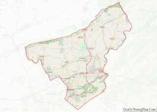
Martins Creek location map. Where is Martins Creek CDP?
History
Circa 1730, a number of Scotch-Irish settled in a part of the town called Hunter’s Settlement. Martin’s Creek was first settled by Robert Lyle in 1741, with James Martin arriving around 1747. Martin operated a grist mill, and later served as a colonel in the American Revolution. In 1744, missionary David Brainerd began his work here with the Clistowackin band of Lenape Indians.
By the 1800s, the area had developed the name of Flatfield because of its level terrain. By the time of the Civil War, it was known as Martinsville, and later changed to Martin’s Creek.
In 1939, exiled Russian prime minister Alexander Kerensky married Australian journalist Lydia Ellen Tritton in Martins Creek.
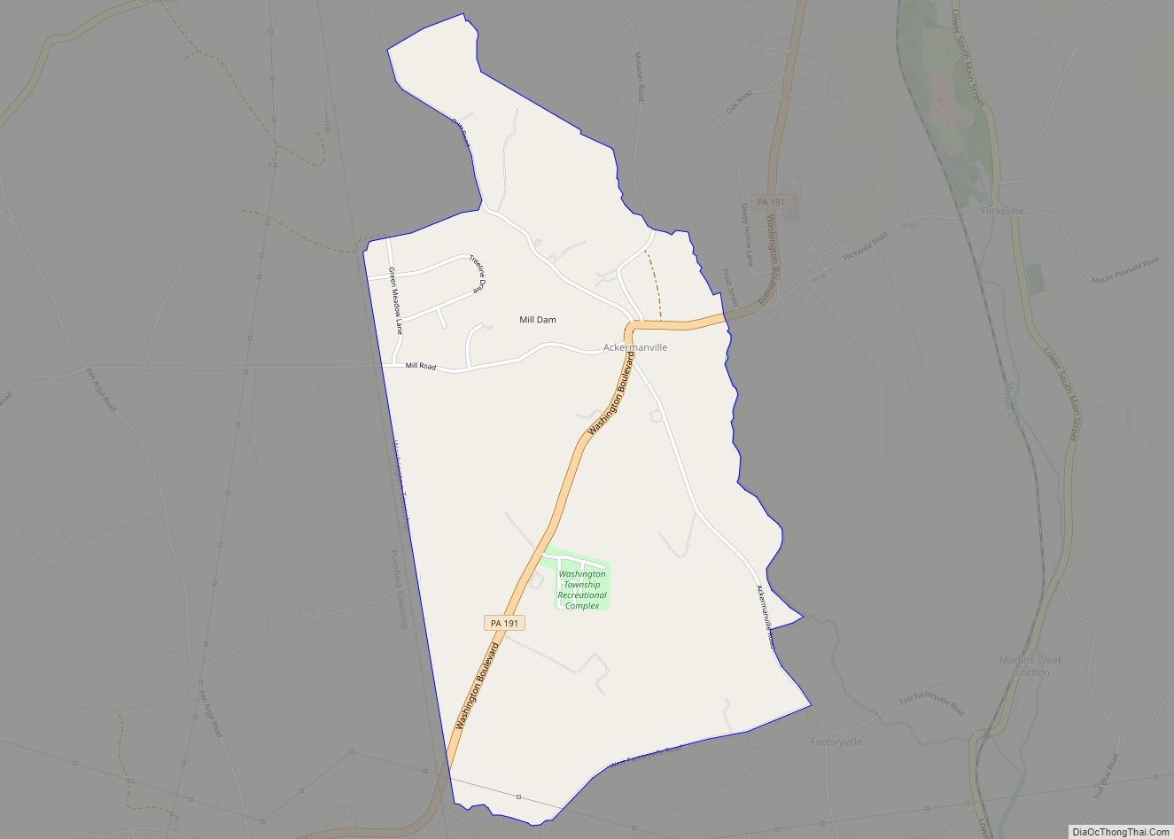
Martins Creek Road Map
Martins Creek city Satellite Map
See also
Map of Pennsylvania State and its subdivision:- Adams
- Allegheny
- Armstrong
- Beaver
- Bedford
- Berks
- Blair
- Bradford
- Bucks
- Butler
- Cambria
- Cameron
- Carbon
- Centre
- Chester
- Clarion
- Clearfield
- Clinton
- Columbia
- Crawford
- Cumberland
- Dauphin
- Delaware
- Elk
- Erie
- Fayette
- Forest
- Franklin
- Fulton
- Greene
- Huntingdon
- Indiana
- Jefferson
- Juniata
- Lackawanna
- Lancaster
- Lawrence
- Lebanon
- Lehigh
- Luzerne
- Lycoming
- Mc Kean
- Mercer
- Mifflin
- Monroe
- Montgomery
- Montour
- Northampton
- Northumberland
- Perry
- Philadelphia
- Pike
- Potter
- Schuylkill
- Snyder
- Somerset
- Sullivan
- Susquehanna
- Tioga
- Union
- Venango
- Warren
- Washington
- Wayne
- Westmoreland
- Wyoming
- York
- Alabama
- Alaska
- Arizona
- Arkansas
- California
- Colorado
- Connecticut
- Delaware
- District of Columbia
- Florida
- Georgia
- Hawaii
- Idaho
- Illinois
- Indiana
- Iowa
- Kansas
- Kentucky
- Louisiana
- Maine
- Maryland
- Massachusetts
- Michigan
- Minnesota
- Mississippi
- Missouri
- Montana
- Nebraska
- Nevada
- New Hampshire
- New Jersey
- New Mexico
- New York
- North Carolina
- North Dakota
- Ohio
- Oklahoma
- Oregon
- Pennsylvania
- Rhode Island
- South Carolina
- South Dakota
- Tennessee
- Texas
- Utah
- Vermont
- Virginia
- Washington
- West Virginia
- Wisconsin
- Wyoming


