Mechanicsburg is a borough in Cumberland County, Pennsylvania, United States. The borough is eight miles (13 km) west of Harrisburg. It is part of the Harrisburg–Carlisle metropolitan statistical area. As of the 2010 census it had a population of 8,981.
| Name: | Mechanicsburg borough |
|---|---|
| LSAD Code: | 21 |
| LSAD Description: | borough (suffix) |
| State: | Pennsylvania |
| County: | Cumberland County |
| Incorporated: | 1828 |
| Elevation: | 446 ft (136 m) |
| Total Area: | 2.41 sq mi (6.25 km²) |
| Land Area: | 2.41 sq mi (6.24 km²) |
| Water Area: | 0.00 sq mi (0.00 km²) |
| Total Population: | 9,311 |
| Population Density: | 3,861.88/sq mi (1,491.39/km²) |
| Area code: | 717 |
| FIPS code: | 4248376 |
| Website: | www.mechanicsburgpa.org |
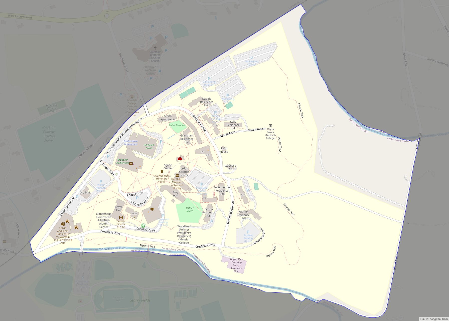
Online Interactive Map
Click on ![]() to view map in "full screen" mode.
to view map in "full screen" mode.
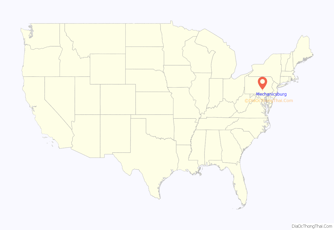
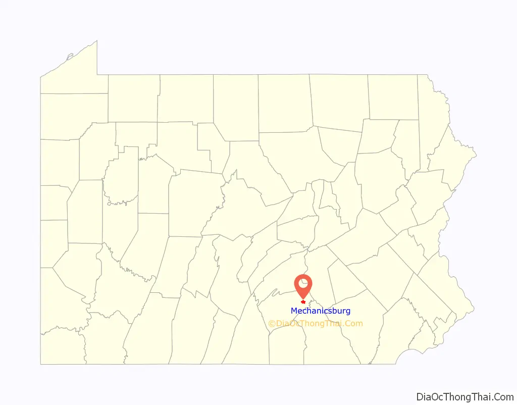
Mechanicsburg location map. Where is Mechanicsburg borough?
History
Mechanicsburg was named after a settlement of mechanics who made and repaired Conestoga wagons in the early 19th century.
In 1837, when the Cumberland Valley Railroad (CVRR) completed its line, Mechanicsburg was designated as a water station, where workers could restock the locomotive with firewood and water. This important function also contributed to the town’s growth. The train became the town’s link to the world of business and industry. Grain and feed companies, lumber yards and numerous factories were purposely built alongside the railroad tracks. Archives show that, at one time, there were twenty-five trains chugging through the town daily carrying travelers, coal, feathers, fruit, ice, mail and newspapers. During the American Civil War, the railroad was an invaluable method of transporting troops and supplies. Today, approximately six trains travel through Mechanicsburg each day, which has recently increased due to new operations on the local sub-line owned by Norfolk Southern. Although automotive technology changed the town forever, today’s residents cannot dismiss the vital role the railroad played in its development.
Another part of Mechanicsburg’s growth occurred when the Naval Support Activity was built on 840 acres (340 ha) of land in Hampden Township, Pennsylvania. NSA Mechanicsburg continues to serve as one of the Defense Department’s major logistics sites.
Present-day Mechanicsburg is centered on 100 acres (40 ha) that Leonard Fisher purchased from Joseph Heynes’ tract (No. 1442 of an original grant of 267 acres (1.08 km) from William Penn. Before becoming incorporated on April 12, 1828, the town went by several different names. First, Drytown, because of the extreme scarcity of water during the winter and summer. It was also known as Pinchgut, a German name used as a sign of amusement given to a small village of only a few people. Some also referred to the town as Staufferstown, in honor of Henry Stauffer, the owner of much of the land in the center of town, or briefly as Creekville during the Colonial Era.
On June 28, 1863, Confederate troops led by Brig. Gen. Albert G. Jenkins raided Mechanicsburg, and two days later, met with Union forces in the Skirmish of Sporting Hill, just east of town. Following the Skirmish of Sporting Hill, the Confederate forces retreated south into the little town of Gettysburg where the Battle of Gettysburg would be fought.
The oldest building in Mechanicsburg is the Frankeberger Tavern. One of Mechanicsburg’s first residents was George Frankeberger, who in 1801 applied for a license to open his newly built log home for the “convenience” of travelers. In exchange for a small fee, Mr. Frankeberger offered cattle drivers a warm meal and a place to sleep. This proved to be rather lucrative, as many people were making the two-day trek between Harrisburg (the state capital) and Carlisle (Cumberland County’s county seat).
Mechanicsburg is home to many historic markers, such as Irving Female College (named for Washington Irving, a trustee), the first women’s college in Pennsylvania to grant degrees in arts and sciences. The Mechanicsburg Commercial Historic District, Irving Female College, Cumberland Valley Railroad Station and Station Master’s House, Adam Orris House, and Simpson Street School are listed on the National Register of Historic Places.
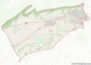
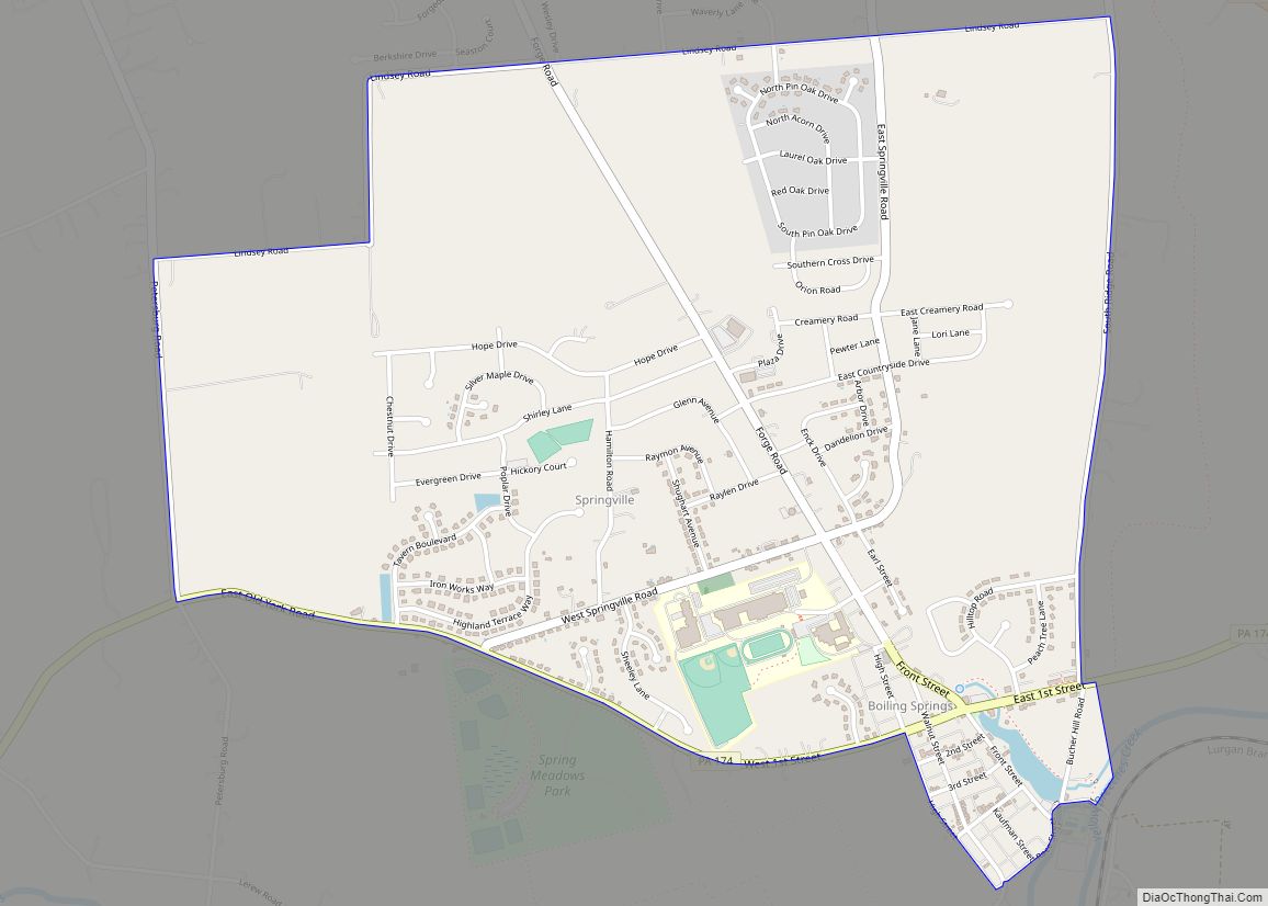
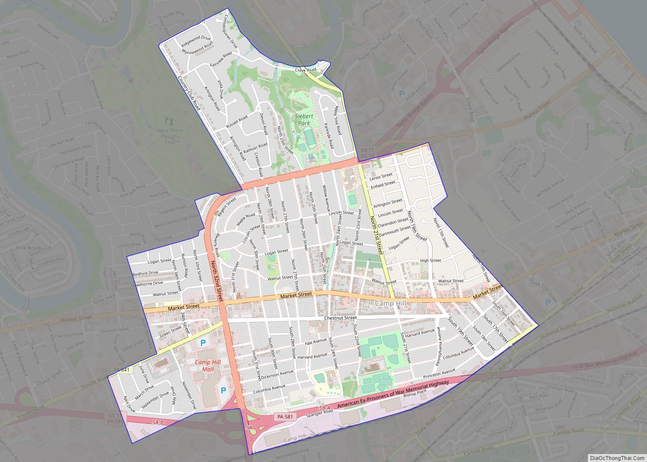
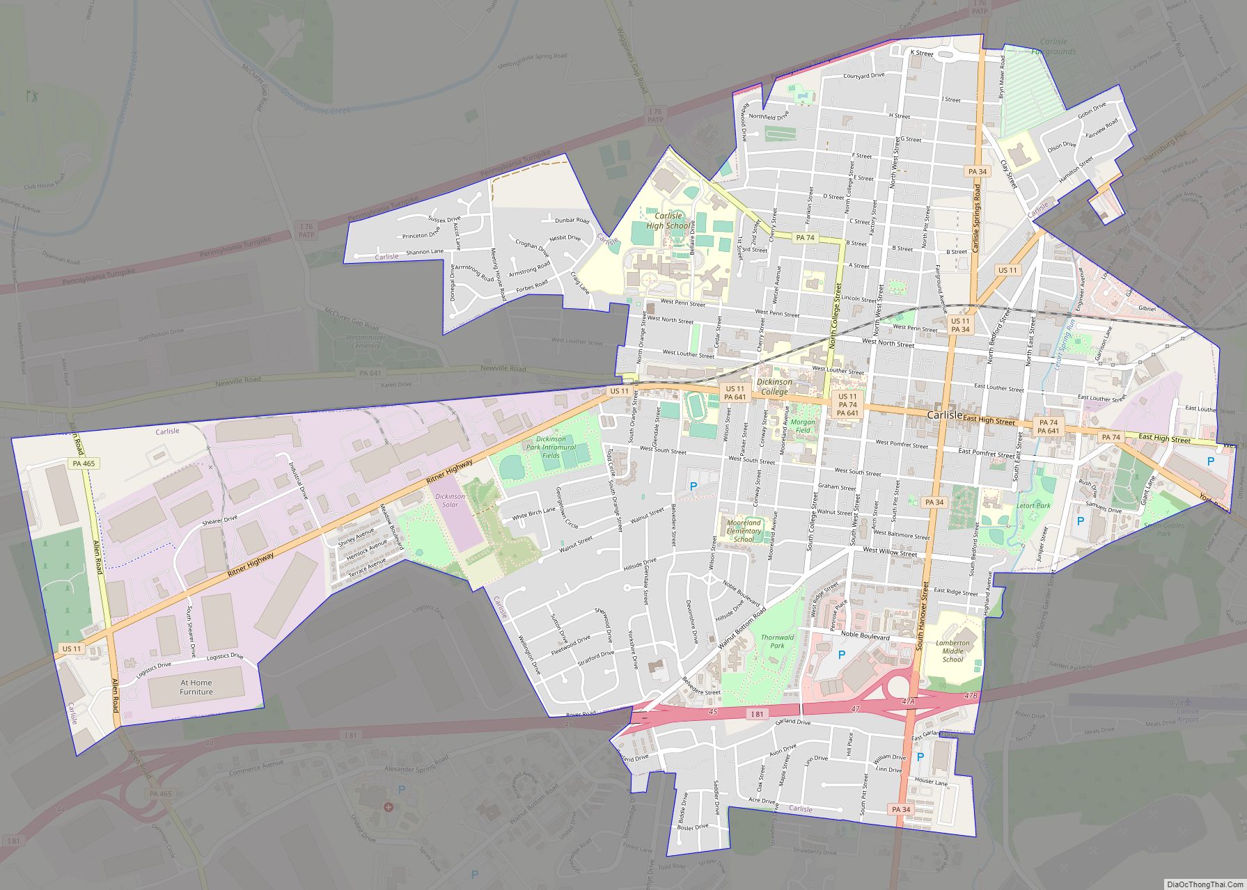
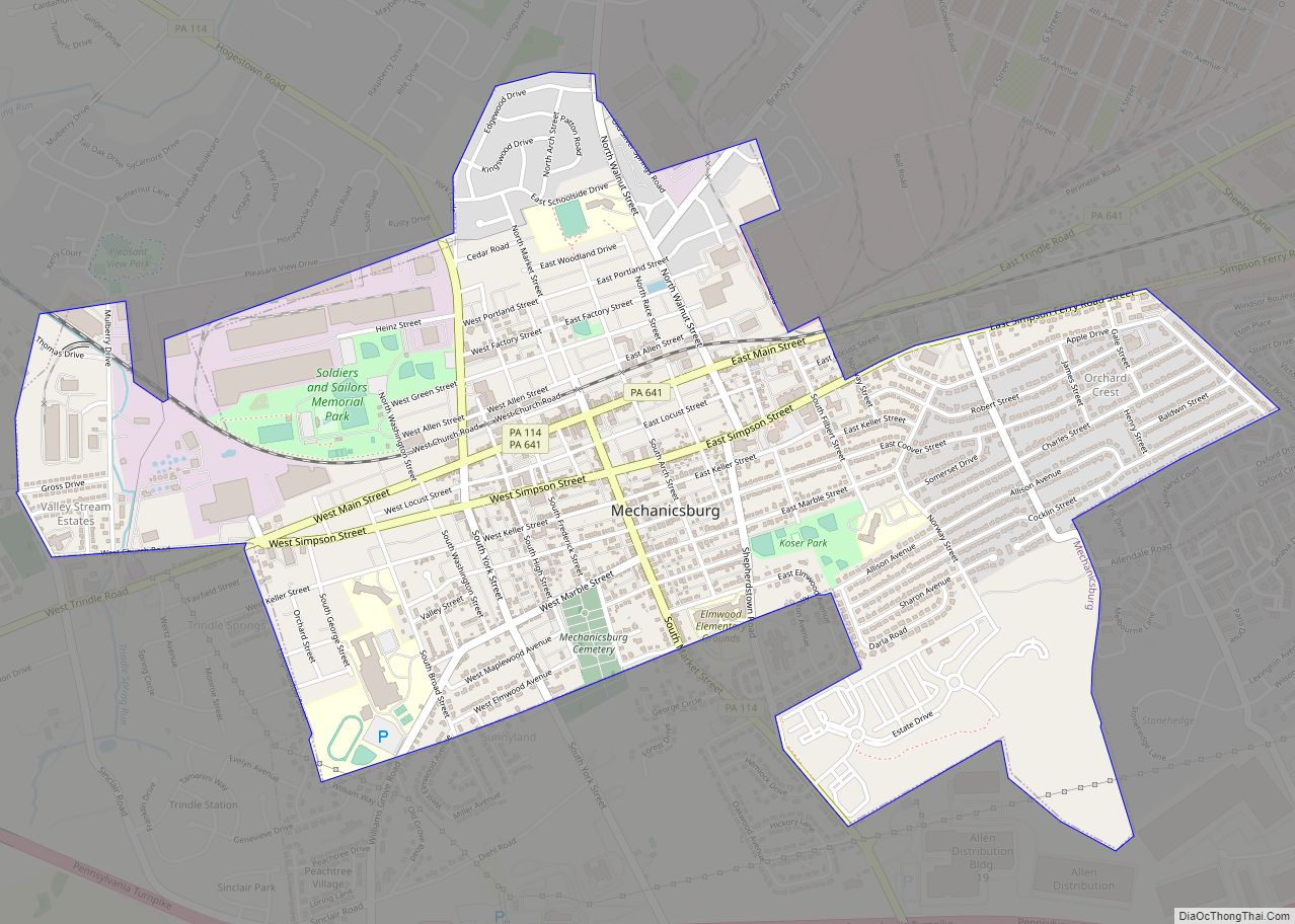
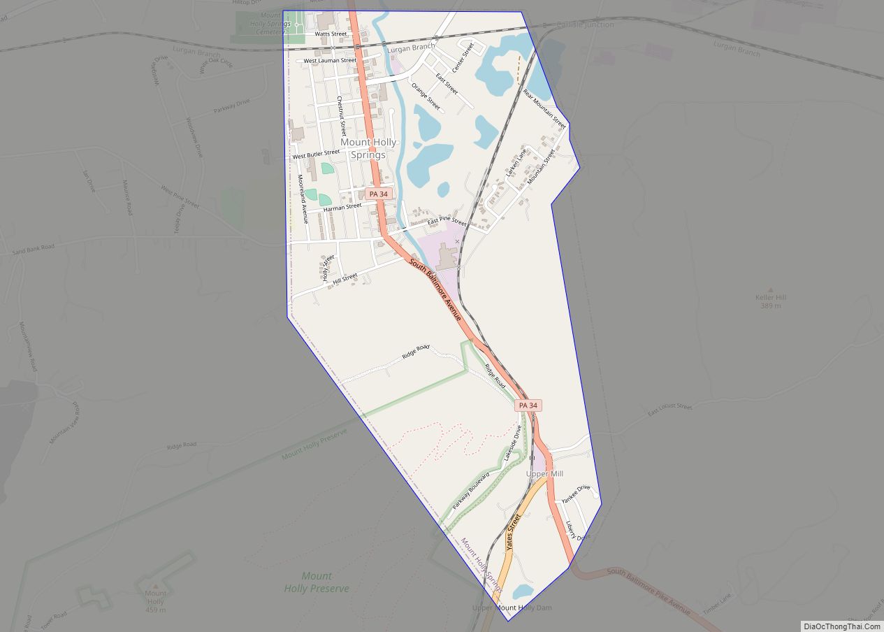
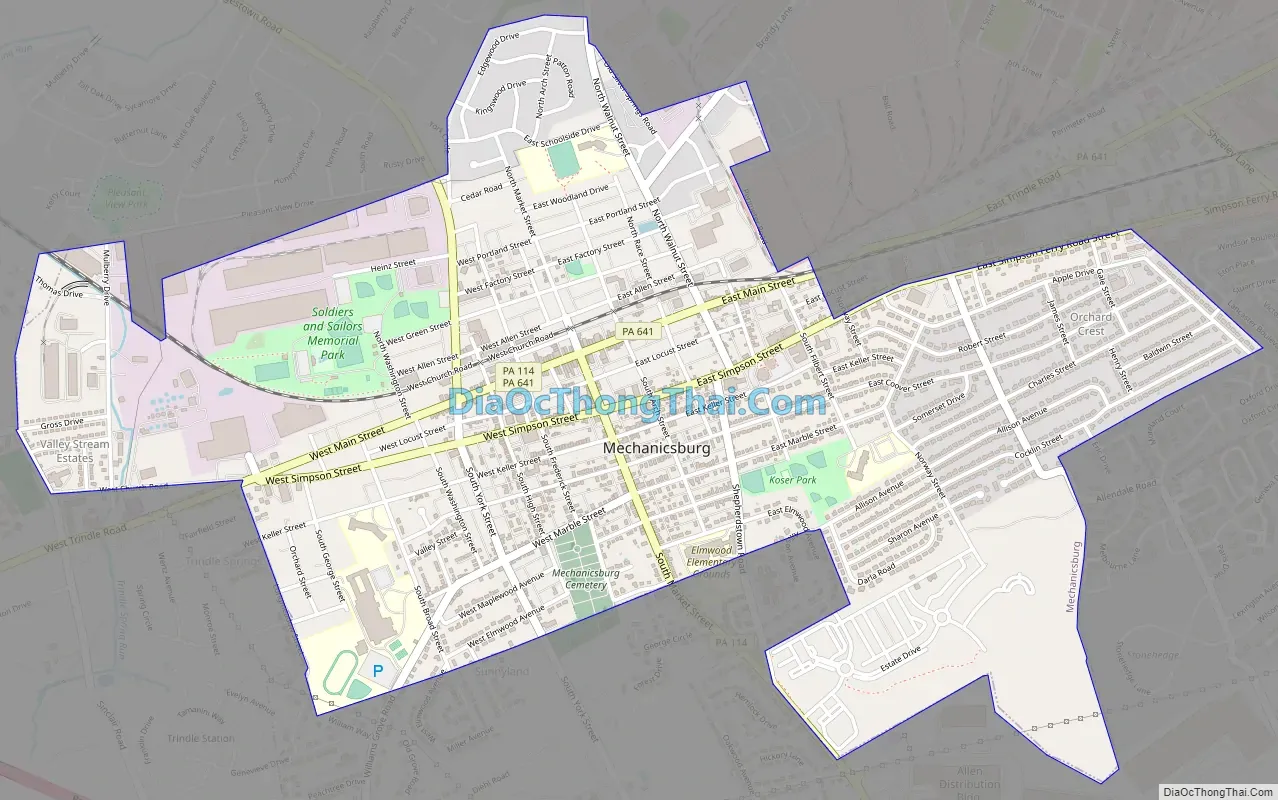
Mechanicsburg Road Map
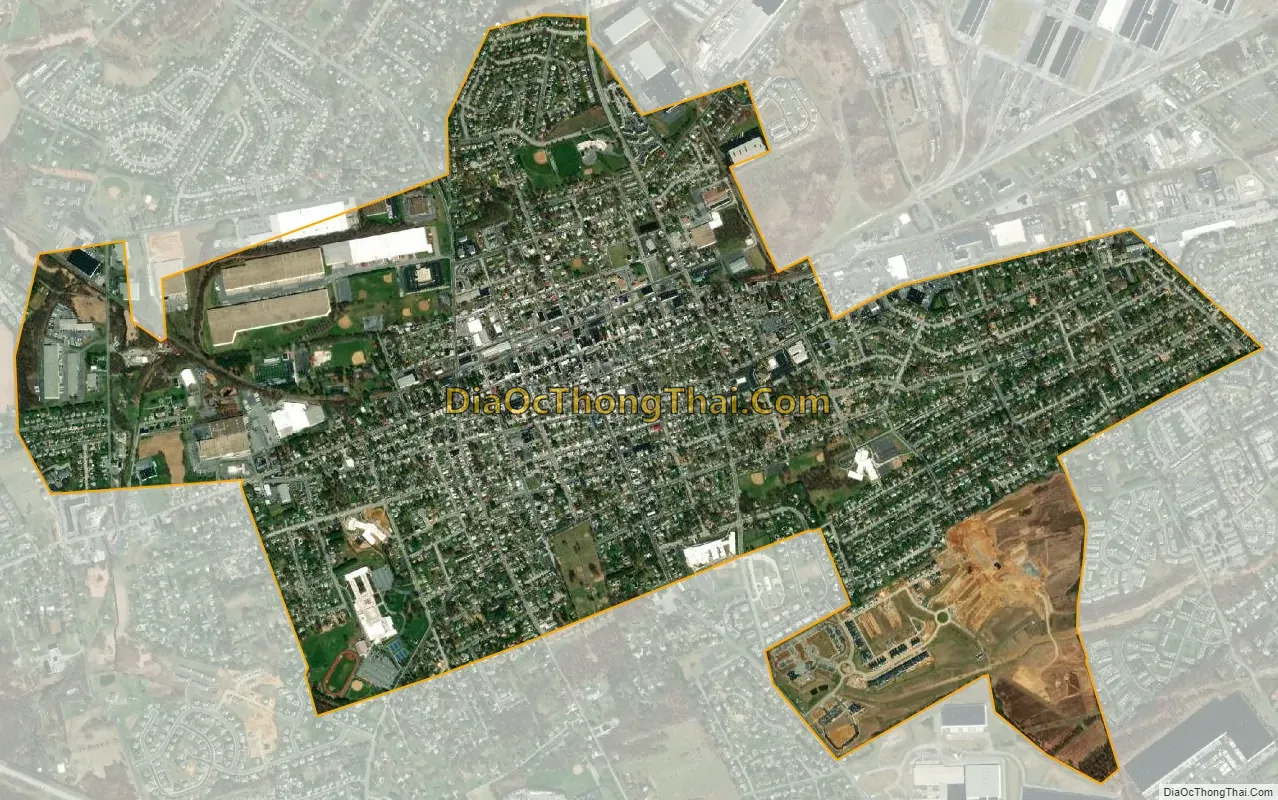
Mechanicsburg city Satellite Map
Geography
Mechanicsburg is located in eastern Cumberland County at 40°12′44″N 77°00′22″W / 40.212089°N 77.006143°W / 40.212089; -77.006143. It is in a rich agricultural region known as the Cumberland Valley, a broad zone between South Mountain and the Ridge-and-Valley Appalachians.
Mechanicsburg is bordered by Silver Spring Township to the northwest, Monroe Township to the southwest, Upper Allen Township to the south, Lower Allen Township to the east, and Hampden Township to the northeast. Pennsylvania Route 641 (Trindle Road) is the main east–west street through the borough, leading east 4 miles (6 km) to Camp Hill and west 10 miles (16 km) to Carlisle, the county seat. Pennsylvania Route 114 leads north out of town on York Street and south on Market Street. Interstate 76, the Pennsylvania Turnpike, passes just south of Mechanicsburg, with access to the southeast of town via Exit 236 (U.S. Route 15).
According to the United States Census Bureau, the borough has a total area of 2.41 square miles (6.25 km), of which 1.1 acres (4,478 m), or 0.07%, is water. It has a hot-summer humid continental climate (Dfa) and monthly average temperatures range from 29.9 °F (−1.2 °C) in January to 74.8 °F (23.8 °C) in July. [1] The hardiness zone is borderline between 6b and 7a, meaning that the annual average absolute minimum temperature is approximately 0 °F. [2]
See also
Map of Pennsylvania State and its subdivision:- Adams
- Allegheny
- Armstrong
- Beaver
- Bedford
- Berks
- Blair
- Bradford
- Bucks
- Butler
- Cambria
- Cameron
- Carbon
- Centre
- Chester
- Clarion
- Clearfield
- Clinton
- Columbia
- Crawford
- Cumberland
- Dauphin
- Delaware
- Elk
- Erie
- Fayette
- Forest
- Franklin
- Fulton
- Greene
- Huntingdon
- Indiana
- Jefferson
- Juniata
- Lackawanna
- Lancaster
- Lawrence
- Lebanon
- Lehigh
- Luzerne
- Lycoming
- Mc Kean
- Mercer
- Mifflin
- Monroe
- Montgomery
- Montour
- Northampton
- Northumberland
- Perry
- Philadelphia
- Pike
- Potter
- Schuylkill
- Snyder
- Somerset
- Sullivan
- Susquehanna
- Tioga
- Union
- Venango
- Warren
- Washington
- Wayne
- Westmoreland
- Wyoming
- York
- Alabama
- Alaska
- Arizona
- Arkansas
- California
- Colorado
- Connecticut
- Delaware
- District of Columbia
- Florida
- Georgia
- Hawaii
- Idaho
- Illinois
- Indiana
- Iowa
- Kansas
- Kentucky
- Louisiana
- Maine
- Maryland
- Massachusetts
- Michigan
- Minnesota
- Mississippi
- Missouri
- Montana
- Nebraska
- Nevada
- New Hampshire
- New Jersey
- New Mexico
- New York
- North Carolina
- North Dakota
- Ohio
- Oklahoma
- Oregon
- Pennsylvania
- Rhode Island
- South Carolina
- South Dakota
- Tennessee
- Texas
- Utah
- Vermont
- Virginia
- Washington
- West Virginia
- Wisconsin
- Wyoming