New Philadelphia is a borough in Schuylkill County, Pennsylvania, United States. The population was 1,060 at the 2020 census.
| Name: | New Philadelphia borough |
|---|---|
| LSAD Code: | 21 |
| LSAD Description: | borough (suffix) |
| State: | Pennsylvania |
| County: | Schuylkill County |
| Incorporated: | 1868 |
| Total Area: | 1.50 sq mi (3.90 km²) |
| Land Area: | 1.50 sq mi (3.90 km²) |
| Water Area: | 0.00 sq mi (0.00 km²) |
| Total Population: | 1,054 |
| Population Density: | 700.33/sq mi (270.44/km²) |
| Area code: | 570 |
| FIPS code: | 4253944 |
Online Interactive Map
Click on ![]() to view map in "full screen" mode.
to view map in "full screen" mode.
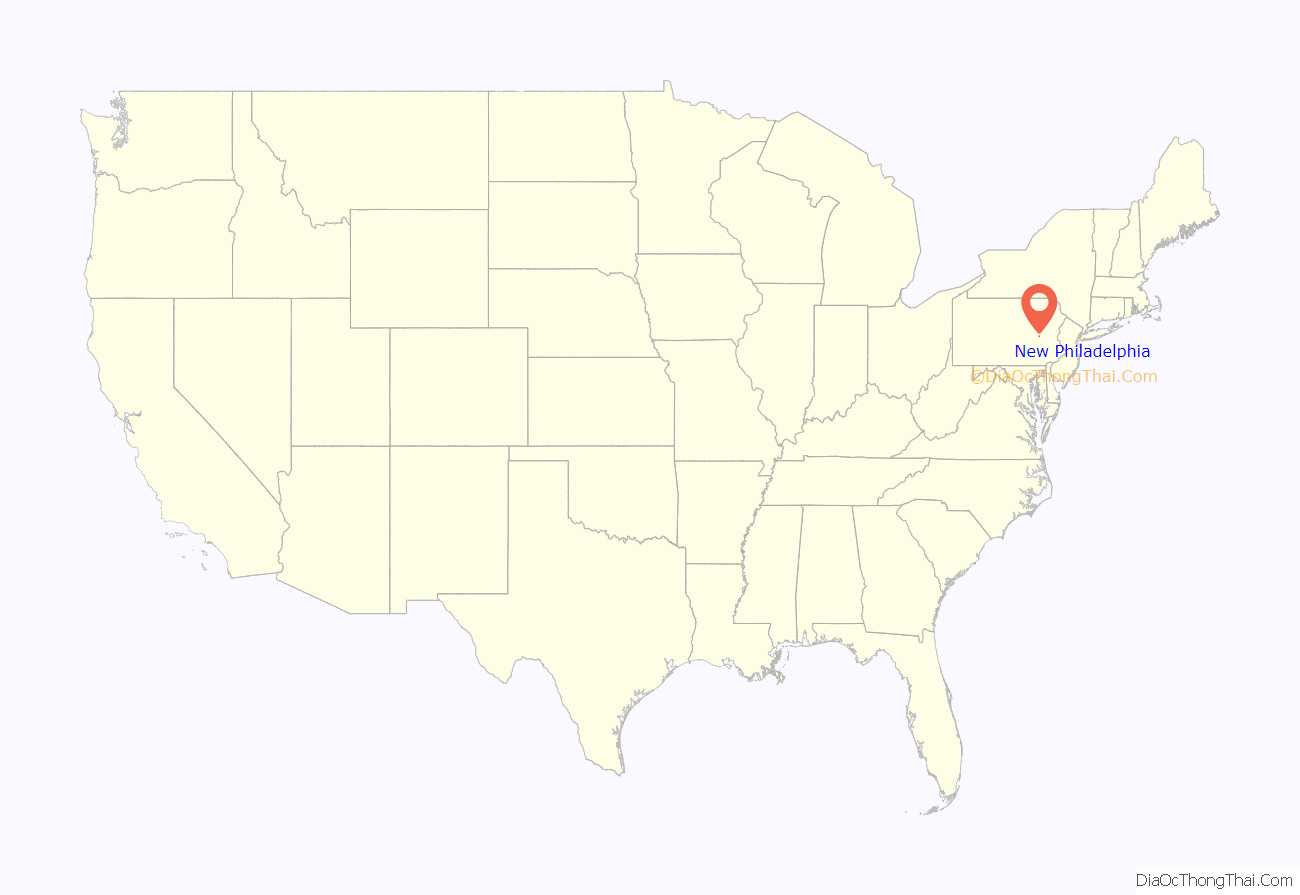
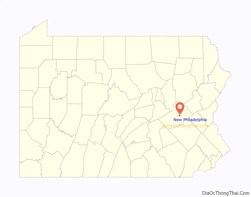
New Philadelphia location map. Where is New Philadelphia borough?
History
New Philadelphia had historically been an anthracite mining town.
Because of the high number of Lithuanians and Irish in the area, there was much separation of the two nationalities. This tension ultimately resulted in the forming of two separate Catholic churches; Sacred Heart (Lithuanian) and Holy Family (Irish). There was also a town-wide brawl that occurred as a result of this tension. The dispute was settled by the priests from Sacred Heart and Holy Family calling their respective patrons to stop fighting and buying each other a beer.
In 2008, the two Catholic parishes were merged to create Holy Cross Roman Catholic Church.
In 2012, the Souls Harvest Baptist Church relocated to New Philadelphia from Port Carbon. They are now located at the corner of Kimber and Clay streets in the building that once housed a Methodist church. This building is the oldest building in town.
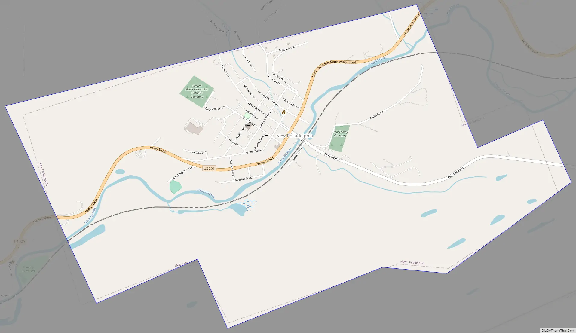
New Philadelphia Road Map
New Philadelphia city Satellite Map

Geography
New Philadelphia is located at 40°43′14″N 76°7′2″W / 40.72056°N 76.11722°W / 40.72056; -76.11722, (40.720594, -76.117295), approximately 70 miles (110 km) northwest of the city of Philadelphia.
According to the United States Census Bureau, the borough has a total area of 1.5 square miles (3.9 km), all land.
See also
Map of Pennsylvania State and its subdivision:- Adams
- Allegheny
- Armstrong
- Beaver
- Bedford
- Berks
- Blair
- Bradford
- Bucks
- Butler
- Cambria
- Cameron
- Carbon
- Centre
- Chester
- Clarion
- Clearfield
- Clinton
- Columbia
- Crawford
- Cumberland
- Dauphin
- Delaware
- Elk
- Erie
- Fayette
- Forest
- Franklin
- Fulton
- Greene
- Huntingdon
- Indiana
- Jefferson
- Juniata
- Lackawanna
- Lancaster
- Lawrence
- Lebanon
- Lehigh
- Luzerne
- Lycoming
- Mc Kean
- Mercer
- Mifflin
- Monroe
- Montgomery
- Montour
- Northampton
- Northumberland
- Perry
- Philadelphia
- Pike
- Potter
- Schuylkill
- Snyder
- Somerset
- Sullivan
- Susquehanna
- Tioga
- Union
- Venango
- Warren
- Washington
- Wayne
- Westmoreland
- Wyoming
- York
- Alabama
- Alaska
- Arizona
- Arkansas
- California
- Colorado
- Connecticut
- Delaware
- District of Columbia
- Florida
- Georgia
- Hawaii
- Idaho
- Illinois
- Indiana
- Iowa
- Kansas
- Kentucky
- Louisiana
- Maine
- Maryland
- Massachusetts
- Michigan
- Minnesota
- Mississippi
- Missouri
- Montana
- Nebraska
- Nevada
- New Hampshire
- New Jersey
- New Mexico
- New York
- North Carolina
- North Dakota
- Ohio
- Oklahoma
- Oregon
- Pennsylvania
- Rhode Island
- South Carolina
- South Dakota
- Tennessee
- Texas
- Utah
- Vermont
- Virginia
- Washington
- West Virginia
- Wisconsin
- Wyoming


