Newport is a borough in Perry County, Pennsylvania, United States. The population was 1,487 at the 2020 census. It is part of the Harrisburg–Carlisle Metropolitan Statistical Area.
| Name: | Newport borough |
|---|---|
| LSAD Code: | 21 |
| LSAD Description: | borough (suffix) |
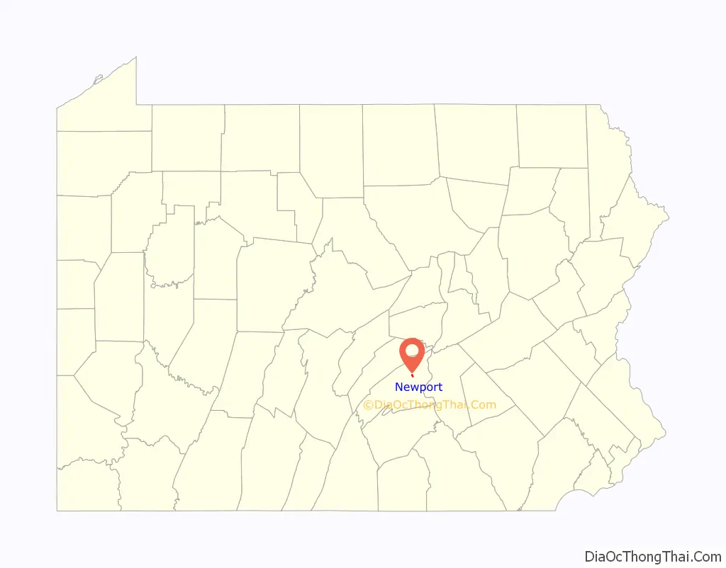
| State: | Pennsylvania |
| County: | Perry County |
| Incorporated: | 1840 |
| Total Area: | 0.34 sq mi (0.88 km²) |
| Land Area: | 0.30 sq mi (0.78 km²) |
| Water Area: | 0.04 sq mi (0.10 km²) |
| Total Population: | 1,485 |
| Population Density: | 4,933.55/sq mi (1,903.94/km²) |
| Area code: | 717 |
| FIPS code: | 4253968 |
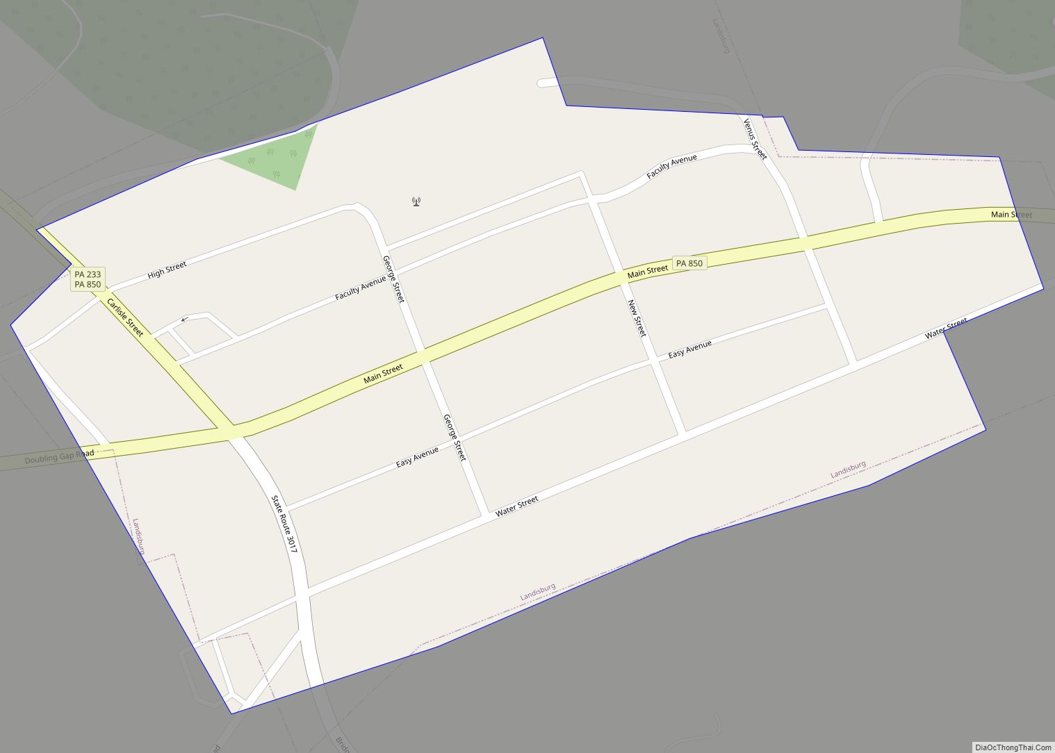
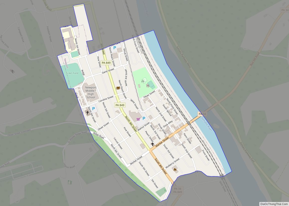
Online Interactive Map
Click on ![]() to view map in "full screen" mode.
to view map in "full screen" mode.
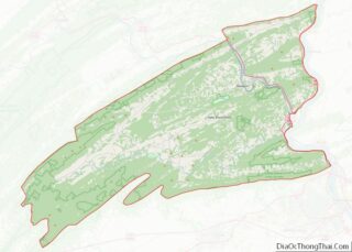
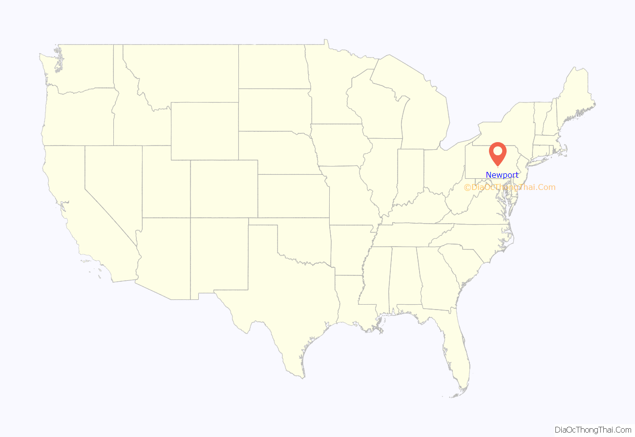
Newport location map. Where is Newport borough?
History
Newport was originally known as Ryder’s Ferry, as it was the site of an early ferry on the Juniata River. It was later renamed Newport after the canal came through.
Newport was the eastern end of the Newport and Shermans Valley Railroad. There was a freight yard where railcars and cargo could be transferred to standard gauge for the Pennsylvania Railroad.
Newport once had a large tannery that operated from the second half of the 19th century until the early part of the 20th. The town playground and youth baseball fields now occupy the site.
The Bridge in Newport Borough and Newport Historic District are listed on the National Register of Historic Places.
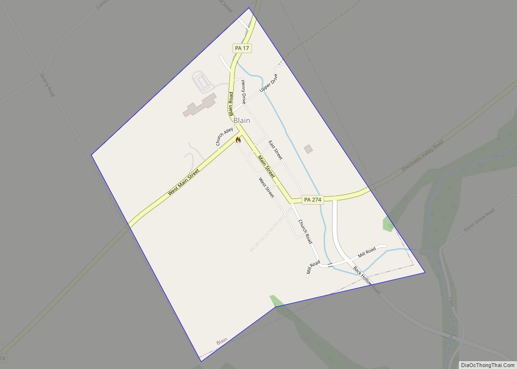
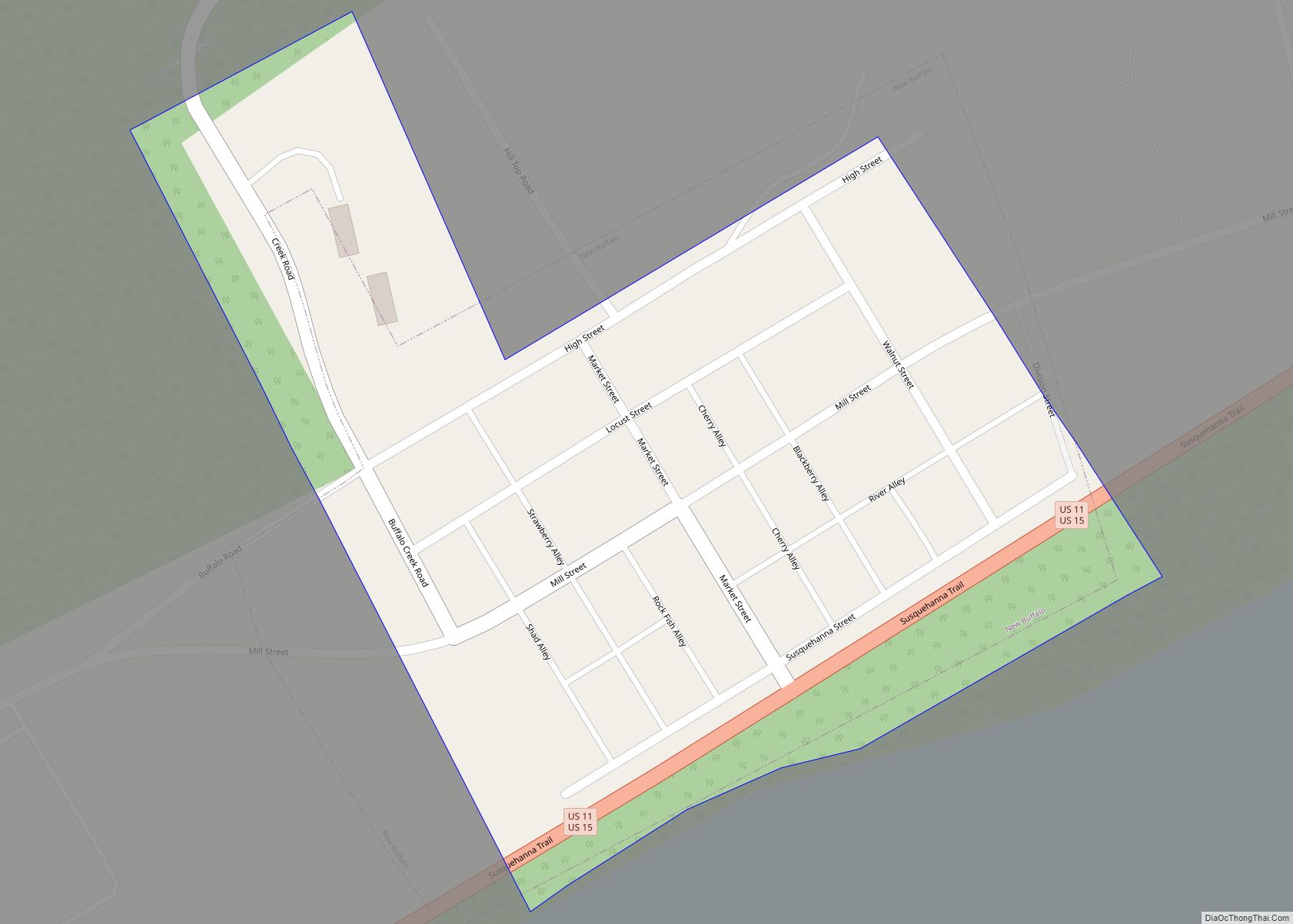
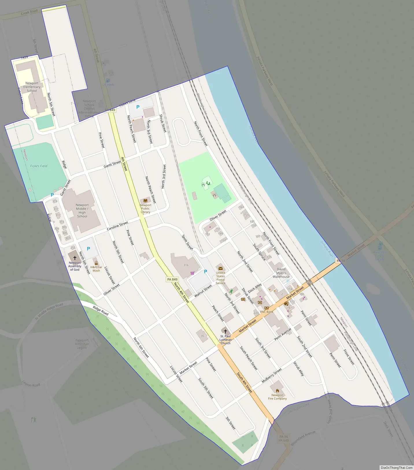
Newport Road Map
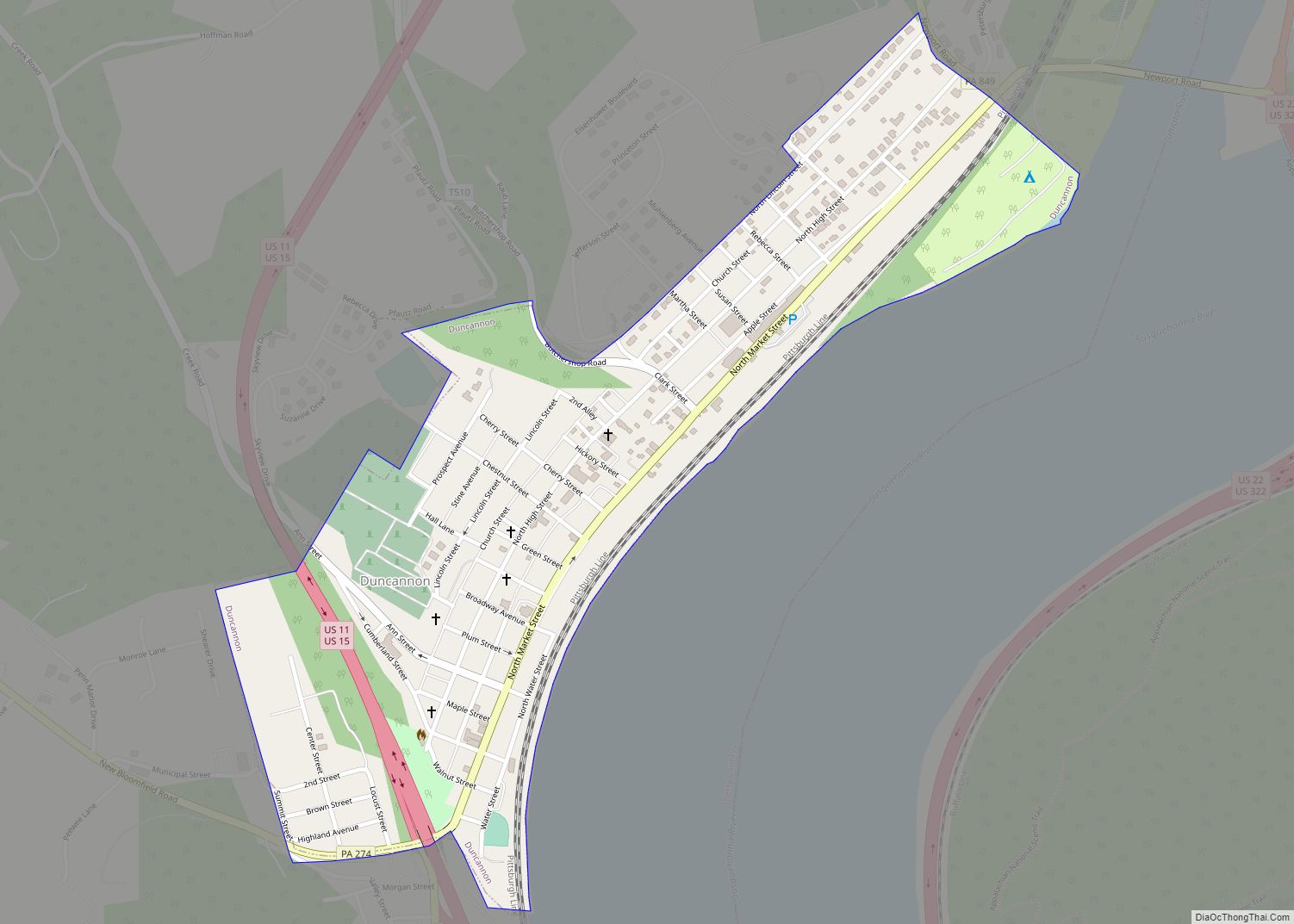
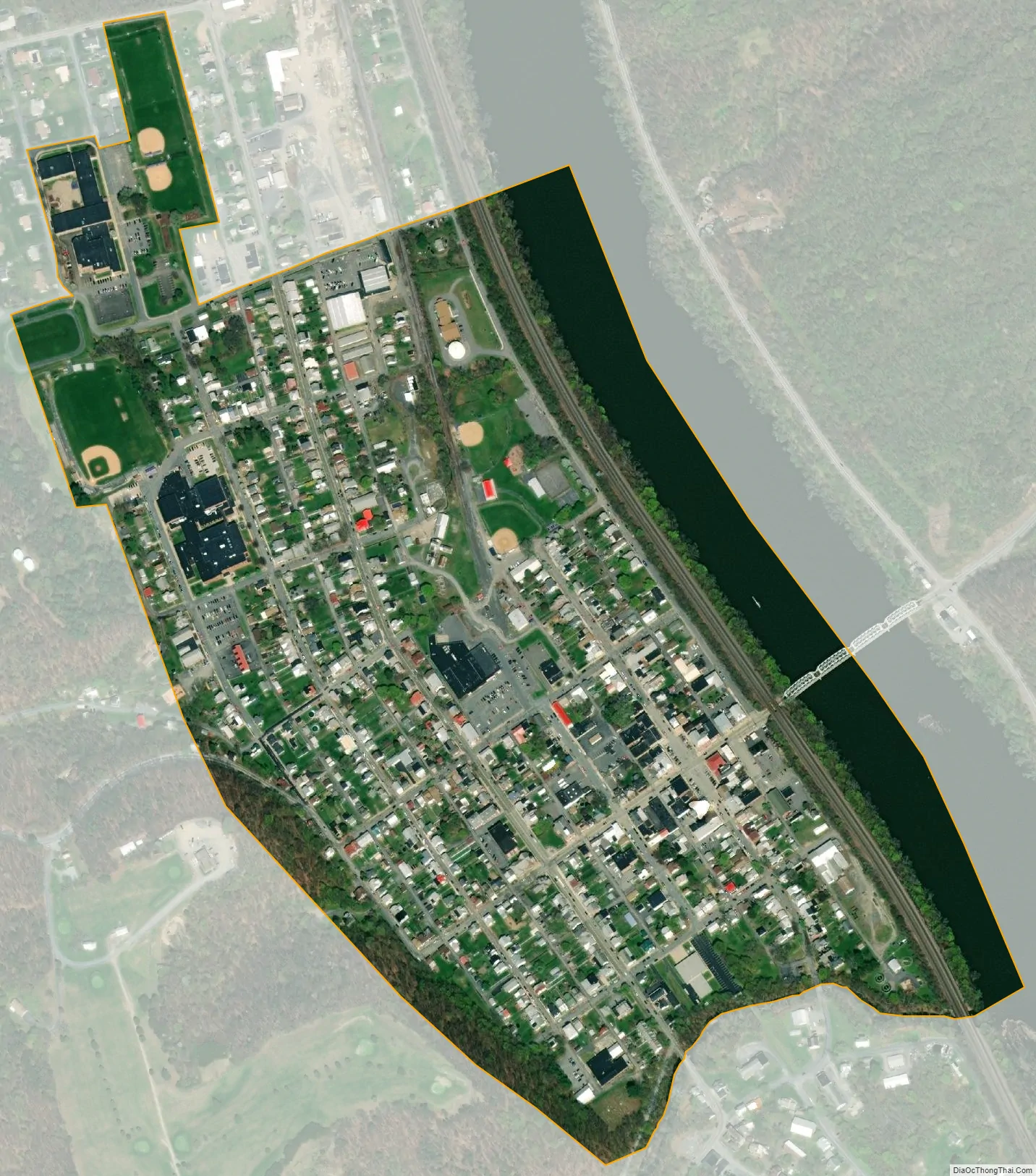
Newport city Satellite Map
Geography
Newport is located at 40°28′42″N 77°8′2″W / 40.47833°N 77.13389°W / 40.47833; -77.13389 (40.478260, -77.133997).
According to the United States Census Bureau, the borough has a total area of 0.3 square miles (0.78 km), 90% of it land.
See also
Map of Pennsylvania State and its subdivision:- Adams
- Allegheny
- Armstrong
- Beaver
- Bedford
- Berks
- Blair
- Bradford
- Bucks
- Butler
- Cambria
- Cameron
- Carbon
- Centre
- Chester
- Clarion
- Clearfield
- Clinton
- Columbia
- Crawford
- Cumberland
- Dauphin
- Delaware
- Elk
- Erie
- Fayette
- Forest
- Franklin
- Fulton
- Greene
- Huntingdon
- Indiana
- Jefferson
- Juniata
- Lackawanna
- Lancaster
- Lawrence
- Lebanon
- Lehigh
- Luzerne
- Lycoming
- Mc Kean
- Mercer
- Mifflin
- Monroe
- Montgomery
- Montour
- Northampton
- Northumberland
- Perry
- Philadelphia
- Pike
- Potter
- Schuylkill
- Snyder
- Somerset
- Sullivan
- Susquehanna
- Tioga
- Union
- Venango
- Warren
- Washington
- Wayne
- Westmoreland
- Wyoming
- York
- Alabama
- Alaska
- Arizona
- Arkansas
- California
- Colorado
- Connecticut
- Delaware
- District of Columbia
- Florida
- Georgia
- Hawaii
- Idaho
- Illinois
- Indiana
- Iowa
- Kansas
- Kentucky
- Louisiana
- Maine
- Maryland
- Massachusetts
- Michigan
- Minnesota
- Mississippi
- Missouri
- Montana
- Nebraska
- Nevada
- New Hampshire
- New Jersey
- New Mexico
- New York
- North Carolina
- North Dakota
- Ohio
- Oklahoma
- Oregon
- Pennsylvania
- Rhode Island
- South Carolina
- South Dakota
- Tennessee
- Texas
- Utah
- Vermont
- Virginia
- Washington
- West Virginia
- Wisconsin
- Wyoming