Norristown is a municipality with home rule status and the county seat of Montgomery County, Pennsylvania, United States, in the Philadelphia metropolitan area. Located along the Schuylkill River, approximately 6 miles (9.7 km) from the Philadelphia city limits, Norristown had a population of 35,748 as of the 2020. It is the fourth most populous municipality in the county and second most populous borough in Pennsylvania.
It is the largest non-township municipality in Montgomery County and is located 49.8 miles (80.1 km) southeast of Allentown and 19.9 miles (32.0 km) northwest of Philadelphia, the sixth largest city in the United States.
| Name: | Norristown borough |
|---|---|
| LSAD Code: | 21 |
| LSAD Description: | borough (suffix) |
| State: | Pennsylvania |
| County: | Montgomery County |
| Elevation: | 135 ft (41 m) |
| Total Area: | 3.60 sq mi (9.33 km²) |
| Land Area: | 3.52 sq mi (9.10 km²) |
| Water Area: | 0.09 sq mi (0.23 km²) |
| Total Population: | 35,748 |
| Population Density: | 10,170.13/sq mi (3,926.44/km²) |
| FIPS code: | 4254656 |
| Website: | www.norristown.org |
Online Interactive Map
Click on ![]() to view map in "full screen" mode.
to view map in "full screen" mode.
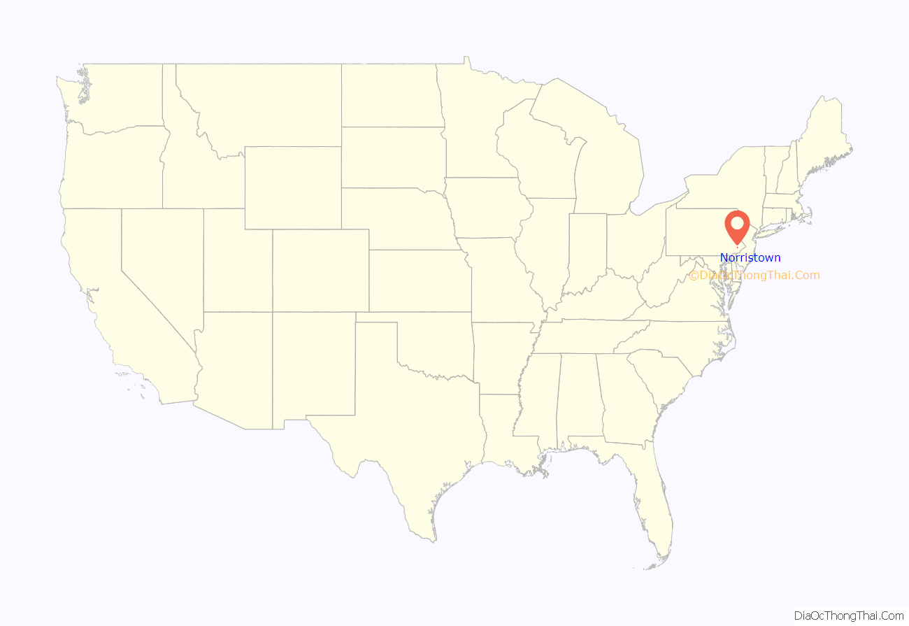
Norristown location map. Where is Norristown borough?

History
The area where Norristown sits was originally owned by the family of Isaac Norris. Along with William Trent, Norris purchased the land on October 7, 1704, for 50¢ per acre. In 1712, Norris acquired Trent’s share and established a gristmill at the foot of present-day Water Street.
Named the county seat in 1784 when Montgomery County was formed, Norristown was incorporated as a borough in 1812 and subsequently enlarged in 1853. About 500 people lived there at the time of its incorporation. Growing rapidly after the Civil War, it swelled to 22,265 people by 1900. By 1940 it was home to 38,181 Norristonians, making it the most populous borough in Pennsylvania before declining in the decades after World War II, and in fact it was described in that year as “the most populous independent borough in the United States.”
At its height, Norristown was an industrial, retail, banking, and government center. Breweries, cigar factories, textile mills, icehouses, foundries, rolling mills, and lumber yards provided ample employment for skilled laborers and artisans. The downtown featured two department stores, several theaters, and enough goods and services that residents never had to leave town to find anything they needed. Although primarily settled by the English and a handful of Germans, Scots, Dutch, and Swedes, in the mid-1800s the Irish began arriving in large numbers, followed by waves of Italians at the turn of the century.
With the opening of new malls in nearby King of Prussia and Plymouth Meeting, the downtown declined in the decades after World War II. Industry soon followed, as many companies closed or relocated into new industrial parks throughout Montgomery County.
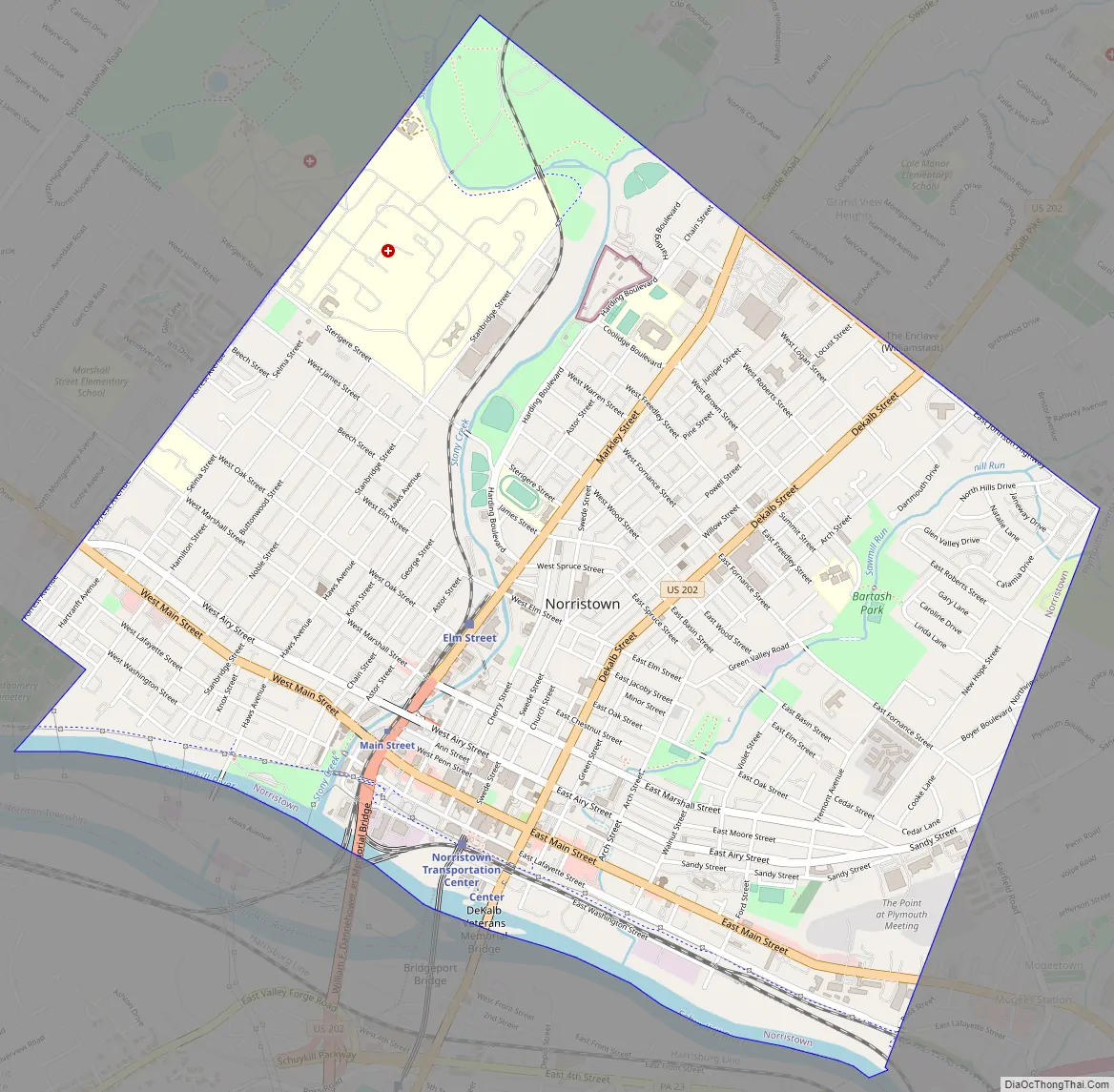
Norristown Road Map
Norristown city Satellite Map

Geography
Norristown is located in southeastern Pennsylvania, approximately 6 mi (10 km) northwest of Philadelphia, although direct driving distance from downtown Norristown to Center City Philadelphia is about 17 mi (27 km). Totaling 3.519 square miles in land area, the municipality sits along the Schuylkill River. Two major tributaries, the Stony Creek and the Saw Mill Run, bisect the town into thirds and empty directly into the Schuylkill. The town’s terrain is generally hilly, especially in the areas closest to downtown, which itself sits on a plateau surrounded by all three major waterways.
Norristown has four distinct neighborhoods: the West End, the East End, the North End, and the downtown.
It is bounded by West Norriton, East Norriton, and Plymouth townships, as well as the borough of Bridgeport.
Climate
In the Köppen climate classification, the borough has a humid subtropical climate (Cfa) according to recent temperature numbers. The Trewartha climate classification now has the climate as Do (oceanic because only seven months are above 50 °F.) The hardiness zone is 7a.
See also
Map of Pennsylvania State and its subdivision:- Adams
- Allegheny
- Armstrong
- Beaver
- Bedford
- Berks
- Blair
- Bradford
- Bucks
- Butler
- Cambria
- Cameron
- Carbon
- Centre
- Chester
- Clarion
- Clearfield
- Clinton
- Columbia
- Crawford
- Cumberland
- Dauphin
- Delaware
- Elk
- Erie
- Fayette
- Forest
- Franklin
- Fulton
- Greene
- Huntingdon
- Indiana
- Jefferson
- Juniata
- Lackawanna
- Lancaster
- Lawrence
- Lebanon
- Lehigh
- Luzerne
- Lycoming
- Mc Kean
- Mercer
- Mifflin
- Monroe
- Montgomery
- Montour
- Northampton
- Northumberland
- Perry
- Philadelphia
- Pike
- Potter
- Schuylkill
- Snyder
- Somerset
- Sullivan
- Susquehanna
- Tioga
- Union
- Venango
- Warren
- Washington
- Wayne
- Westmoreland
- Wyoming
- York
- Alabama
- Alaska
- Arizona
- Arkansas
- California
- Colorado
- Connecticut
- Delaware
- District of Columbia
- Florida
- Georgia
- Hawaii
- Idaho
- Illinois
- Indiana
- Iowa
- Kansas
- Kentucky
- Louisiana
- Maine
- Maryland
- Massachusetts
- Michigan
- Minnesota
- Mississippi
- Missouri
- Montana
- Nebraska
- Nevada
- New Hampshire
- New Jersey
- New Mexico
- New York
- North Carolina
- North Dakota
- Ohio
- Oklahoma
- Oregon
- Pennsylvania
- Rhode Island
- South Carolina
- South Dakota
- Tennessee
- Texas
- Utah
- Vermont
- Virginia
- Washington
- West Virginia
- Wisconsin
- Wyoming


