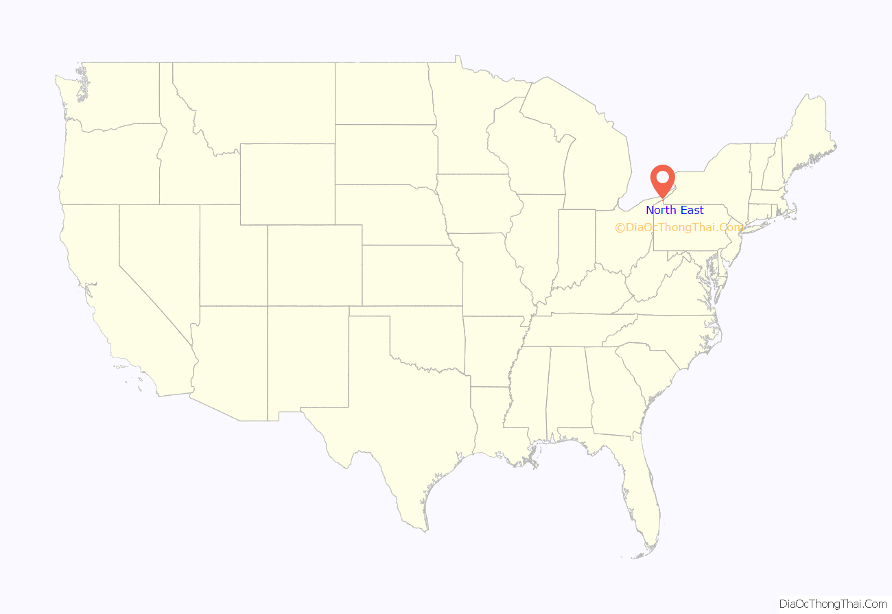
North East is a borough in Erie County, Pennsylvania, United States, 14 miles (23 km) northeast of Erie. Located in the county’s northeastern corner, the name comes from the geographical location. The population was 4,114 at the 2020 census, down from 4,294 in 2010. Fruit growing was an early economic endeavor, and is still to this day, as this is a popular area especially for cherries and grapes. There is an annual Cherry Festival in the summer and an annual Wine Country Harvest Festival in autumn. It is part of the Erie Metropolitan Statistical Area. It is the northernmost town in Pennsylvania.
| Name: | North East borough |
|---|---|
| LSAD Code: | 21 |
| LSAD Description: | borough (suffix) |
| State: | Pennsylvania |
| County: | Erie County |
| Incorporated: | February 27, 1834 |
| Total Area: | 1.30 sq mi (3.37 km²) |
| Land Area: | 1.30 sq mi (3.37 km²) |
| Water Area: | 0.00 sq mi (0.00 km²) |
| Total Population: | 4,106 |
| Population Density: | 3,151.19/sq mi (1,216.77/km²) |
| ZIP code: | 16428 |
| Area code: | 814 |
| FIPS code: | 4254952 |
| Website: | northeastborough.com |
Online Interactive Map
Click on ![]() to view map in "full screen" mode.
to view map in "full screen" mode.
North East location map. Where is North East borough?
History
Before 1650, the area was settled by the Eriez, a relatively peaceful tribe; however, they were destroyed by the Seneca.
As part of the Erie Triangle, it was only in 1792 that the locale became part of Pennsylvania. However, North East did not receive its first settler until 1794, still, several years before the county (Erie) and township (North East) was organized. Originally the North East Township was called “Lower Greenfield” being downstream from Greenfield Township. The first road was built in 1797 from present-day Freeport at the mouth of Sixteenmile Creek to present day Colt Station now in Greenfield Township. That road was extended in 1798 to where French Creek forks (present-day Wattsburg). In 1798 the first school was formed. In 1800 a road from the village of North East to Wattsburg was opened, it paralleled, but ran east of, the first one from Freeport. In 1801 the first church was organized, it was Presbyterian.
In 1884, a fire destroyed two-thirds of the town’s business district.
In 1983, Short’s Hotel was listed on the National Register of Historic Places. In 1990 the entire old central business district was added to the register.
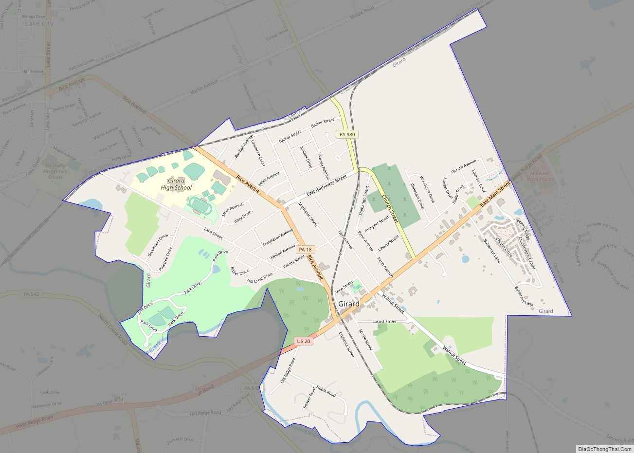
North East Road Map
North East city Satellite Map
Geography
North East is located in northeastern Erie County at 42°12′48″N 79°50′1″W / 42.21333°N 79.83361°W / 42.21333; -79.83361 (42.213385, -79.833711). It is surrounded by North East Township.
According to the United States Census Bureau, the borough has a total area of 1.3 square miles (3.4 km), all land.
See also
Map of Pennsylvania State and its subdivision:- Adams
- Allegheny
- Armstrong
- Beaver
- Bedford
- Berks
- Blair
- Bradford
- Bucks
- Butler
- Cambria
- Cameron
- Carbon
- Centre
- Chester
- Clarion
- Clearfield
- Clinton
- Columbia
- Crawford
- Cumberland
- Dauphin
- Delaware
- Elk
- Erie
- Fayette
- Forest
- Franklin
- Fulton
- Greene
- Huntingdon
- Indiana
- Jefferson
- Juniata
- Lackawanna
- Lancaster
- Lawrence
- Lebanon
- Lehigh
- Luzerne
- Lycoming
- Mc Kean
- Mercer
- Mifflin
- Monroe
- Montgomery
- Montour
- Northampton
- Northumberland
- Perry
- Philadelphia
- Pike
- Potter
- Schuylkill
- Snyder
- Somerset
- Sullivan
- Susquehanna
- Tioga
- Union
- Venango
- Warren
- Washington
- Wayne
- Westmoreland
- Wyoming
- York
- Alabama
- Alaska
- Arizona
- Arkansas
- California
- Colorado
- Connecticut
- Delaware
- District of Columbia
- Florida
- Georgia
- Hawaii
- Idaho
- Illinois
- Indiana
- Iowa
- Kansas
- Kentucky
- Louisiana
- Maine
- Maryland
- Massachusetts
- Michigan
- Minnesota
- Mississippi
- Missouri
- Montana
- Nebraska
- Nevada
- New Hampshire
- New Jersey
- New Mexico
- New York
- North Carolina
- North Dakota
- Ohio
- Oklahoma
- Oregon
- Pennsylvania
- Rhode Island
- South Carolina
- South Dakota
- Tennessee
- Texas
- Utah
- Vermont
- Virginia
- Washington
- West Virginia
- Wisconsin
- Wyoming


