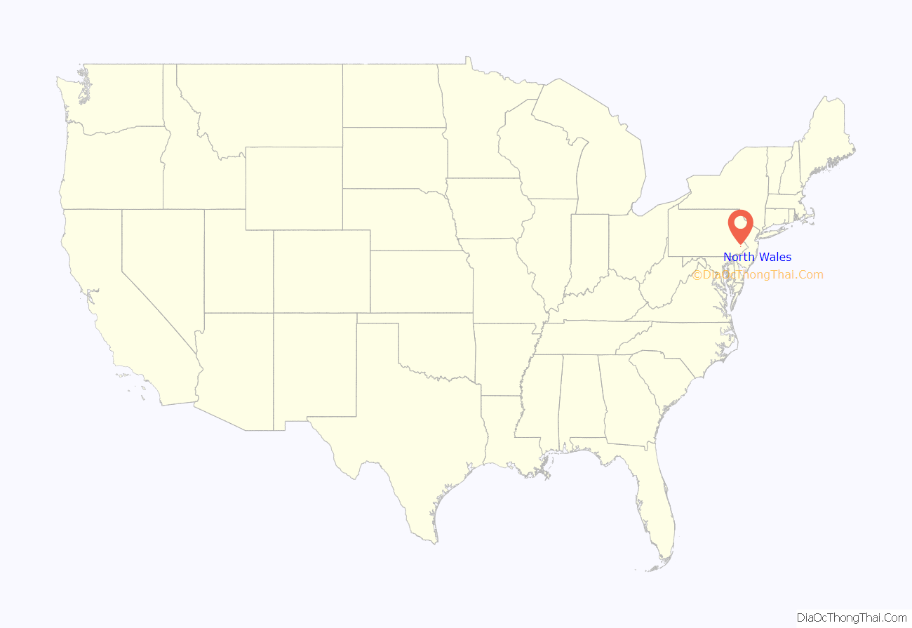
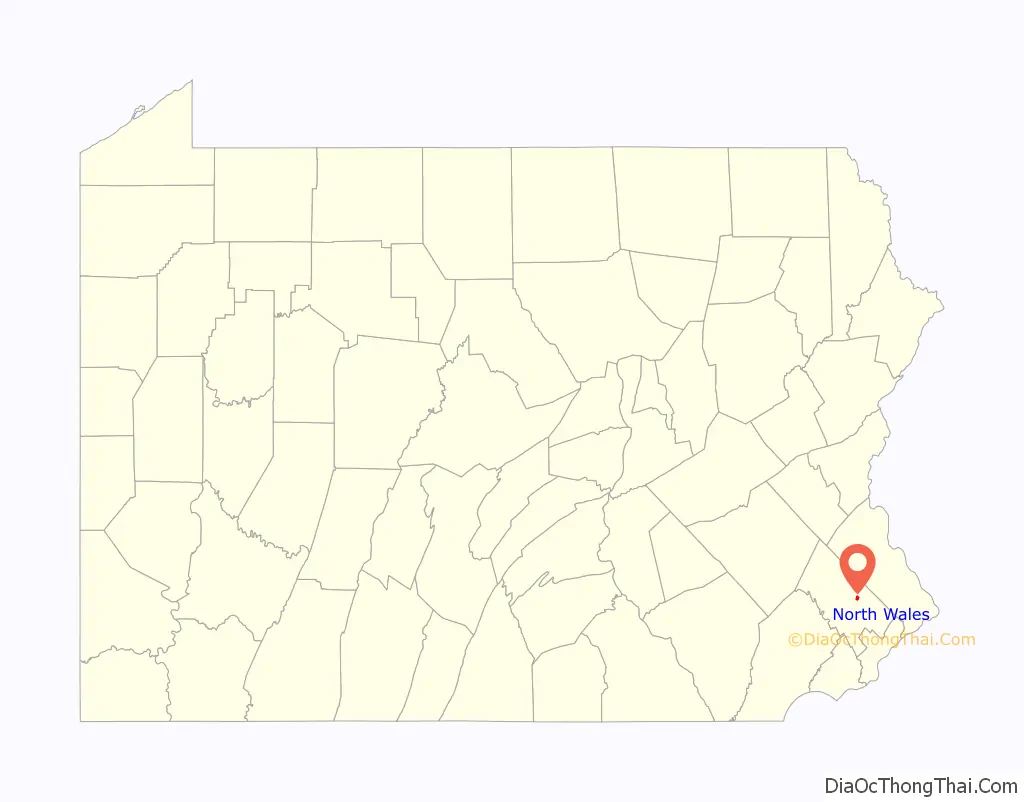
North Wales is a borough in Montgomery County, Pennsylvania. It is a suburb of Philadelphia and is one of the three historic population centers that make up the North Penn Valley, which is centered on the borough of Lansdale. It is approximately 27 miles (43 km) north of Center City Philadelphia. The population was 3,426 as of the 2020 census.
Like many small boroughs in Pennsylvania, North Wales’ boundaries have not kept pace with population growth. In similar fashion, many businesses and residences with North Wales addresses are located in outlying townships that were never annexed by the borough, such as the Montgomery Mall in Montgomery Township. North Wales is in the North Penn School District.
| Name: | North Wales borough |
|---|---|
| LSAD Code: | 21 |
| LSAD Description: | borough (suffix) |
| State: | Pennsylvania |
| County: | Montgomery County |
| Incorporated: | 1869 |
| Elevation: | 400 ft (100 m) |
| Total Area: | 0.59 sq mi (1.52 km²) |
| Land Area: | 0.59 sq mi (1.52 km²) |
| Water Area: | 0.00 sq mi (0.00 km²) |
| Total Population: | 3,426 |
| Population Density: | 5,836.46/sq mi (2,252.80/km²) |
| FIPS code: | 4255512 |
| Website: | www.northwalesborough.org |
Online Interactive Map
Click on ![]() to view map in "full screen" mode.
to view map in "full screen" mode.
North Wales location map. Where is North Wales borough?
History
As its name suggests, North Wales was settled by Welsh immigrants who named it after North Wales in Wales (for more on Welsh settlements in colonial Pennsylvania, see “Welsh Tract”). Part of a 1702 William Penn land grant, this rich farming country was given the name “Gwynedd” for the homeland of the earliest settlers and it began as a pastoral village in agricultural Gwynedd Township.
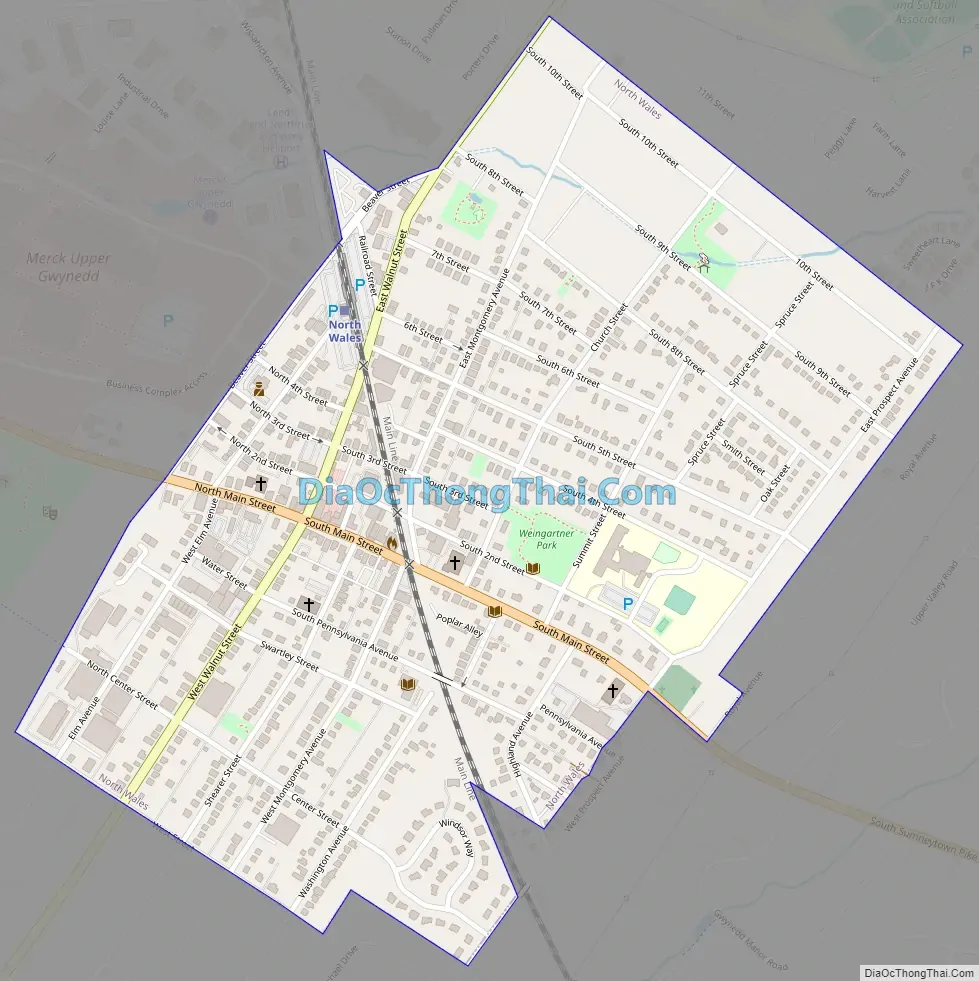
Before 1850, a number of farms, plus a 1776 church, shared by the Lutheran and Reformed congregations, dotted the present borough’s landscape. What is now Main Street was originally an old Indian trail, and was laid out as the Great Road in 1728. By 1828, it had become today’s Sumneytown Pike, and was a toll road until 1914. It had always been an important route to Philadelphia, and continues to serve as a connection to Routes 202 and 309 to the east and the Northeastern Extension of the Pennsylvania Turnpike to the west.
Its rural character was abruptly disrupted by the building of the North Pennsylvania Railroad starting in 1852. Service from Bethlehem to Philadelphia through North Wales began in 1857. The town quickly grew around the railroad station, with hotels and restaurants lining Walnut Street and Main Street within walking distance. North Wales is the oldest of the North Penn boroughs, incorporated in 1869, by taking land from today’s Upper Gwynedd Township, then the northern portion of Gwynedd Township.
Some of the large homes at the start of the 20th century were opened to summer guests from the city. “Idlewilde”, still present on Main Street, hosted the Emperor of Brazil, Dom Pedro II, when he was visiting Philadelphia to open the 1876 U.S. Centennial Exhibition with President Ulysses S. Grant.
During the late 19th and early 20th centuries, much of North Wales borough’s housing was built. Most houses along South Main Street between Montgomery and Prospects Streets remain much as they were when built and are lovingly maintained. The borough also features a variety of single family homes, as well as twins, and rowhomes.
Between 1900 and 1926, Lehigh Valley Transit Company operated its Chestnut Hill Branch trolley line, which connected North Wales to surrounding towns through service to either Philadelphia or Allentown. The trolley ran down Main Street through the borough, but detoured onto Pennsylvania Avenue for two blocks to enable it to cross the North Penn Railroad on a bridge. The bridge was required because the railroad, citing safety concerns, refused to allow the trolleys to cross at the Main Street grade crossing. Lehigh Valley Transit Company’s combined passenger/freight station was located on the north (east) side of Pennsylvania Avenue between Shearer Street and Montgomery Avenue. After Main Street trolley service ended in 1926, Lehigh Valley Transit high-speed trolleys continued to serve the Wales Junction station, located on Sumneytown Pike three-quarters of a mile west of town. High-speed trolley serviced ended in September 1951.
In 2000, the North Wales Historic Preservation District was established by Borough Council and the Pennsylvania Historic and Museum Commission to protect the architecture that is a visual reminder of the borough’s past. It is the first Historic District in the North Penn boroughs.
North Wales Road Map
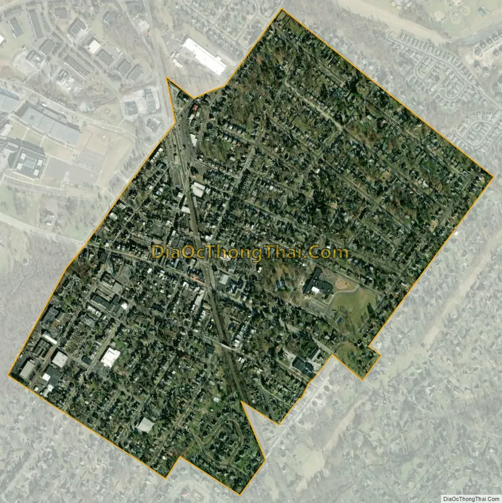
North Wales city Satellite Map
See also
Map of Pennsylvania State and its subdivision:- Adams
- Allegheny
- Armstrong
- Beaver
- Bedford
- Berks
- Blair
- Bradford
- Bucks
- Butler
- Cambria
- Cameron
- Carbon
- Centre
- Chester
- Clarion
- Clearfield
- Clinton
- Columbia
- Crawford
- Cumberland
- Dauphin
- Delaware
- Elk
- Erie
- Fayette
- Forest
- Franklin
- Fulton
- Greene
- Huntingdon
- Indiana
- Jefferson
- Juniata
- Lackawanna
- Lancaster
- Lawrence
- Lebanon
- Lehigh
- Luzerne
- Lycoming
- Mc Kean
- Mercer
- Mifflin
- Monroe
- Montgomery
- Montour
- Northampton
- Northumberland
- Perry
- Philadelphia
- Pike
- Potter
- Schuylkill
- Snyder
- Somerset
- Sullivan
- Susquehanna
- Tioga
- Union
- Venango
- Warren
- Washington
- Wayne
- Westmoreland
- Wyoming
- York
- Alabama
- Alaska
- Arizona
- Arkansas
- California
- Colorado
- Connecticut
- Delaware
- District of Columbia
- Florida
- Georgia
- Hawaii
- Idaho
- Illinois
- Indiana
- Iowa
- Kansas
- Kentucky
- Louisiana
- Maine
- Maryland
- Massachusetts
- Michigan
- Minnesota
- Mississippi
- Missouri
- Montana
- Nebraska
- Nevada
- New Hampshire
- New Jersey
- New Mexico
- New York
- North Carolina
- North Dakota
- Ohio
- Oklahoma
- Oregon
- Pennsylvania
- Rhode Island
- South Carolina
- South Dakota
- Tennessee
- Texas
- Utah
- Vermont
- Virginia
- Washington
- West Virginia
- Wisconsin
- Wyoming


