Nuangola is a borough in Luzerne County, Pennsylvania. The population was 663 as of the 2020 census. Developed as a summer resort in the early 20th century, the borough is built around a heart-shaped lake called Nuangola Lake.
| Name: | Nuangola borough |
|---|---|
| LSAD Code: | 21 |
| LSAD Description: | borough (suffix) |
| State: | Pennsylvania |
| County: | Luzerne County |
| Incorporated: | 1908 |
| Total Area: | 1.34 sq mi (3.47 km²) |
| Land Area: | 1.18 sq mi (3.07 km²) |
| Water Area: | 0.16 sq mi (0.41 km²) |
| Total Population: | 666 |
| Population Density: | 562.50/sq mi (217.25/km²) |
| Area code: | 570 |
| FIPS code: | 4255752 |
Online Interactive Map
Click on ![]() to view map in "full screen" mode.
to view map in "full screen" mode.
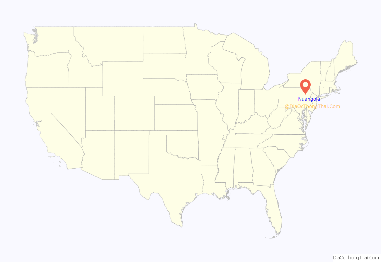
Nuangola location map. Where is Nuangola borough?
History
Origin of name
The name Nuangola probably derives from an Algonquian language, which was spoken by the indigenous Native Americans of the area (most likely the Delaware (Lenape), the region’s largest tribe. Some Nanticoke and Shawnee also lived there at the time). According to legend, a Native American maiden named Nuangola is believed to have drowned in the lake. Another account says that Nuangola is a Native American word (probably from an Algonquian language) for “Three-Cornered Lake” or “Triangular Lake.” Early settlers named its this, but the name was changed to Nuangola to avoid confusion with other towns in Pennsylvania. It has also been suggested that Nuangola means “people of the north.”
Incorporation
Nuangola was incorporated as a borough in 1908. Two years later, in 1910, the population of the new town was just over one hundred people. In the following decades, the population grew. The county became a center of mining and attracted many European immigrants.
But in the 20th century, this area was developed as a summer resort around the lake. Today, over six hundred people reside in Nuangola. Some are retirees; others have second homes here. The population increases in the summer.
Grove Theatre
Nuangola is home of the Grove Theatre. From the 1930s through the 1950s, it was a popular summer stock playhouse. Kirk Douglas, Joseph Cotten, Jean Kerr, and many other notable actors had early roles there.
After having been closed for decades, the theatre was reopened in 2006 as a Non-Equity stock theatre. Since then, the theatre has produced the following: Godspell, On Golden Pond, Plaza Suite, Prisoner of Second Avenue, Ring of Fire, A Christmas Carol, and many others.
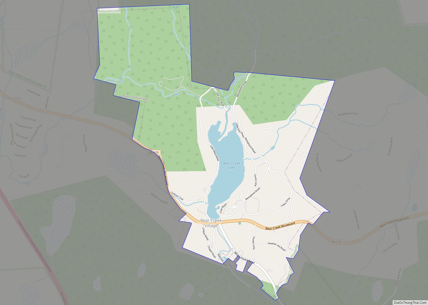
Nuangola Road Map
Nuangola city Satellite Map
Geography
Nuangola is located at 41°09′26″N 75°58′37″W / 41.157132°N 75.977081°W / 41.157132; -75.977081.
According to the United States Census Bureau, the borough has a total area of 1.2 square miles (3.1 km), of which 1.0 square mile (2.7 km) is land and 0.15 square miles (0.4 km), or 13.04%, is water. The town is situated around Nuangola Lake. It is part of the Crestwood School District.
Nuangola borders Hanover Township (to the northeast), Newport Township (to the northwest), Rice Township (to the east and south), Dorrance Township (to the south), and Slocum Township (to the west).
Transportation
Interstate 81 is the only major highway within proximity to Nuangola. The interstate is east of the borough. It links Nuangola to the county seat of Wilkes-Barre (in the north) and the city of Hazleton (in the south).
See also
Map of Pennsylvania State and its subdivision:- Adams
- Allegheny
- Armstrong
- Beaver
- Bedford
- Berks
- Blair
- Bradford
- Bucks
- Butler
- Cambria
- Cameron
- Carbon
- Centre
- Chester
- Clarion
- Clearfield
- Clinton
- Columbia
- Crawford
- Cumberland
- Dauphin
- Delaware
- Elk
- Erie
- Fayette
- Forest
- Franklin
- Fulton
- Greene
- Huntingdon
- Indiana
- Jefferson
- Juniata
- Lackawanna
- Lancaster
- Lawrence
- Lebanon
- Lehigh
- Luzerne
- Lycoming
- Mc Kean
- Mercer
- Mifflin
- Monroe
- Montgomery
- Montour
- Northampton
- Northumberland
- Perry
- Philadelphia
- Pike
- Potter
- Schuylkill
- Snyder
- Somerset
- Sullivan
- Susquehanna
- Tioga
- Union
- Venango
- Warren
- Washington
- Wayne
- Westmoreland
- Wyoming
- York
- Alabama
- Alaska
- Arizona
- Arkansas
- California
- Colorado
- Connecticut
- Delaware
- District of Columbia
- Florida
- Georgia
- Hawaii
- Idaho
- Illinois
- Indiana
- Iowa
- Kansas
- Kentucky
- Louisiana
- Maine
- Maryland
- Massachusetts
- Michigan
- Minnesota
- Mississippi
- Missouri
- Montana
- Nebraska
- Nevada
- New Hampshire
- New Jersey
- New Mexico
- New York
- North Carolina
- North Dakota
- Ohio
- Oklahoma
- Oregon
- Pennsylvania
- Rhode Island
- South Carolina
- South Dakota
- Tennessee
- Texas
- Utah
- Vermont
- Virginia
- Washington
- West Virginia
- Wisconsin
- Wyoming
