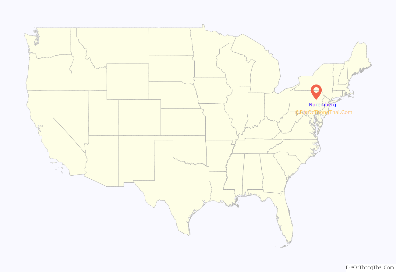
Nuremberg is a census-designated place (CDP) that is located in Schuylkill and Luzerne counties, Pennsylvania, United States. The population was 434 at the time of the 2010 census.
| Name: | Nuremberg CDP |
|---|---|
| LSAD Code: | 57 |
| LSAD Description: | CDP (suffix) |
| State: | Pennsylvania |
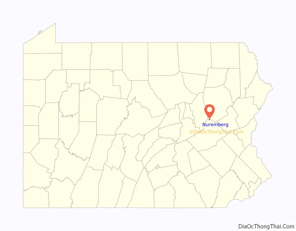
| County: | Luzerne County, Schuylkill County |
| Total Area: | 0.60 sq mi (1.55 km²) |
| Land Area: | 0.60 sq mi (1.55 km²) |
| Water Area: | 0.00 sq mi (0.00 km²) |
| Total Population: | 415 |
| Population Density: | 692.82/sq mi (267.59/km²) |
| ZIP code: | 18241 |
| Area code: | 570 |
| FIPS code: | 4255808 |
Online Interactive Map
Click on ![]() to view map in "full screen" mode.
to view map in "full screen" mode.
Nuremberg location map. Where is Nuremberg CDP?
History
A post office has been in operation in Nuremberg since 1886. The community is served by Hazleton Area School District.
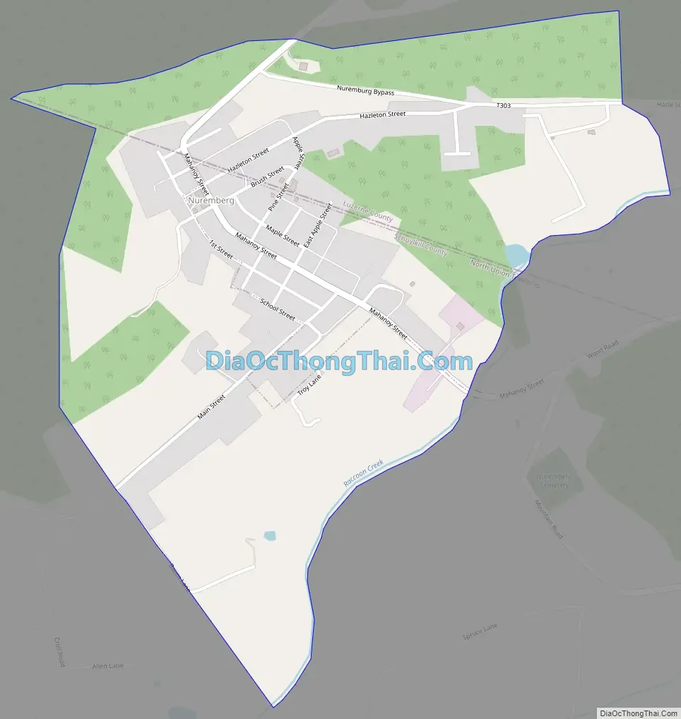
Nuremberg Road Map
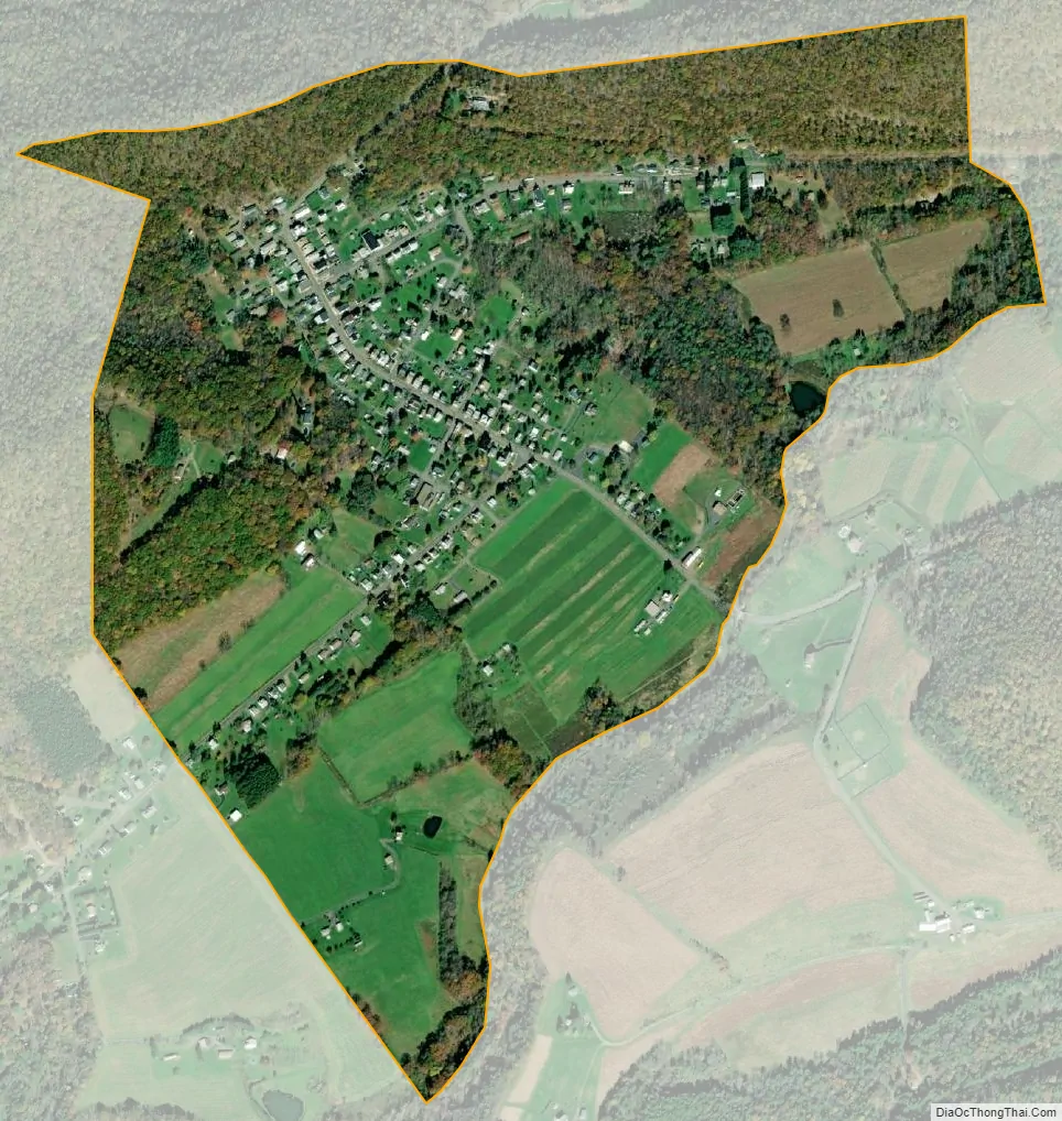
Nuremberg city Satellite Map
Geography
Nuremberg is located at 40°56′18″N 76°10′10″W / 40.93833°N 76.16944°W / 40.93833; -76.16944 (40.938375, -76.169506).
The small farming community of Nuremberg is partially located in Black Creek Township (Luzerne County), as well as North Union Township (Schuylkill County).
According to the United States Census Bureau, the CDP has a total area of 0.58 square miles (1.5 km), all land.
See also
Map of Pennsylvania State and its subdivision:- Adams
- Allegheny
- Armstrong
- Beaver
- Bedford
- Berks
- Blair
- Bradford
- Bucks
- Butler
- Cambria
- Cameron
- Carbon
- Centre
- Chester
- Clarion
- Clearfield
- Clinton
- Columbia
- Crawford
- Cumberland
- Dauphin
- Delaware
- Elk
- Erie
- Fayette
- Forest
- Franklin
- Fulton
- Greene
- Huntingdon
- Indiana
- Jefferson
- Juniata
- Lackawanna
- Lancaster
- Lawrence
- Lebanon
- Lehigh
- Luzerne
- Lycoming
- Mc Kean
- Mercer
- Mifflin
- Monroe
- Montgomery
- Montour
- Northampton
- Northumberland
- Perry
- Philadelphia
- Pike
- Potter
- Schuylkill
- Snyder
- Somerset
- Sullivan
- Susquehanna
- Tioga
- Union
- Venango
- Warren
- Washington
- Wayne
- Westmoreland
- Wyoming
- York
- Alabama
- Alaska
- Arizona
- Arkansas
- California
- Colorado
- Connecticut
- Delaware
- District of Columbia
- Florida
- Georgia
- Hawaii
- Idaho
- Illinois
- Indiana
- Iowa
- Kansas
- Kentucky
- Louisiana
- Maine
- Maryland
- Massachusetts
- Michigan
- Minnesota
- Mississippi
- Missouri
- Montana
- Nebraska
- Nevada
- New Hampshire
- New Jersey
- New Mexico
- New York
- North Carolina
- North Dakota
- Ohio
- Oklahoma
- Oregon
- Pennsylvania
- Rhode Island
- South Carolina
- South Dakota
- Tennessee
- Texas
- Utah
- Vermont
- Virginia
- Washington
- West Virginia
- Wisconsin
- Wyoming


