Oreland is a United States census-designated place (CDP) in Springfield and Upper Dublin townships, just outside the Chestnut Hill and Mount Airy areas of Philadelphia. Oreland has a ZIP code of 19075, and the population was 5,678 at the 2010 census.
| Name: | Oreland CDP |
|---|---|
| LSAD Code: | 57 |
| LSAD Description: | CDP (suffix) |
| State: | Pennsylvania |
| County: | Montgomery County |
| Elevation: | 259 ft (79 m) |
| Total Area: | 1.51 sq mi (3.91 km²) |
| Land Area: | 1.51 sq mi (3.91 km²) |
| Water Area: | 0.00 sq mi (0.00 km²) |
| Total Population: | 6,210 |
| Population Density: | 4,115.31/sq mi (1,588.71/km²) |
| ZIP code: | 19075 |
| FIPS code: | 4257024 |
Online Interactive Map
Click on ![]() to view map in "full screen" mode.
to view map in "full screen" mode.
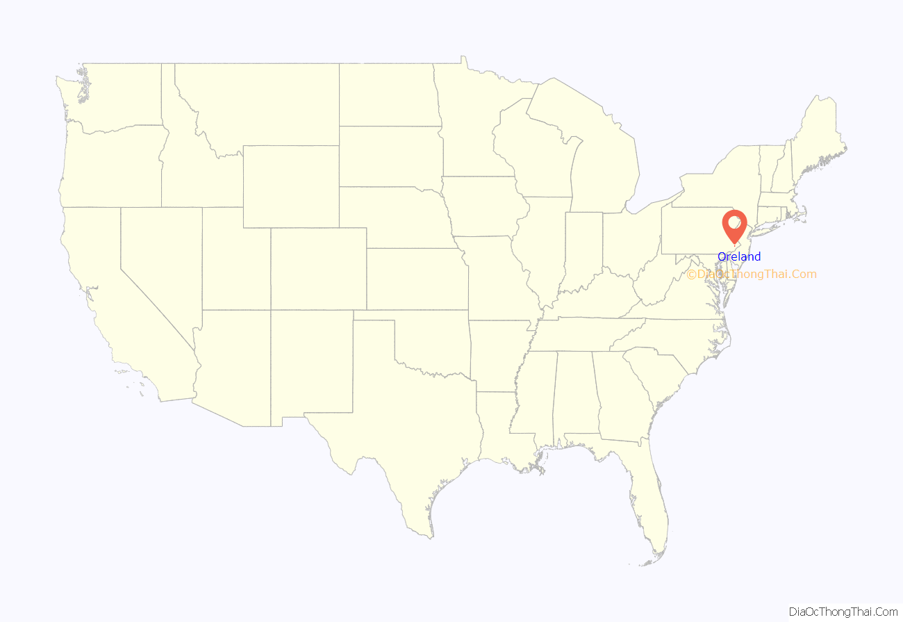
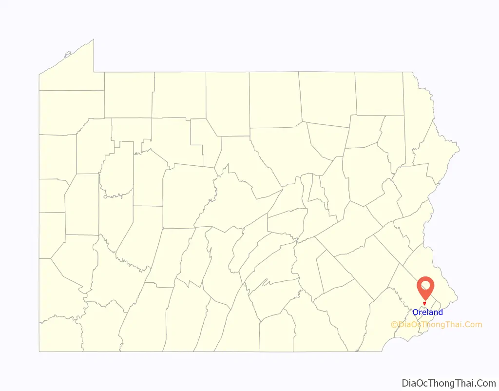
Oreland location map. Where is Oreland CDP?
History
Oreland, as part of Springfield Township, was settled as one of William Penn’s manors.
In 1686, Thomas Fitzwater discovered vast lime deposits on his land in Oreland. He erected a kiln to process it, which by 1693 had attracted the attention of William Penn. Penn ordered a highway built from the port of the Delaware River to the kiln. Named Limekiln Pike, and still in existence today, it was one of the first roads in the area. These lime deposits and the ore deposits also found in the area gave Oreland its name. Mining and farming would dominate Oreland’s economy until the 20th century, when Oreland transformed into a residential suburb of Philadelphia, as it remains today.
The village of Oreland was not laid out until 1889 near the North Penn Railroad running along the east side of town (currently SEPTA’s Lansdale/Doylestown Line). The Plymouth Railroad ran from Conshohocken to Oreland through Plymouth and Flourtown. The tracks were mostly removed in the 1980s. The path where the trains used to run begins northeast of the Oreland Station Apartments, next to Ehrenpfort Road, and runs southwest towards Flourtown. The actual tracks, which still connect to SEPTA’s Lansdale/Doylestown Line, end near the corner of Montgomery Avenue and Lyster Road. The path continues all the way to Flourtown, although in the 1990s the path was cut at Oreland Mill Road by housing built on both sides. The remainder of the path today is used primarily by children, runners and bikers.
A bronze tablet, installed in 1928, marks where Emlen House is located. Emlen House served as George Washington’s headquarters while in neighboring Whitemarsh from November 2 until December 11, 1777 during the Revolutionary War . In the early 1900s it was owned by Frances and A. J. Antello Devereux and named “Mistfield Farm”. In 1956, it was purchased by Edward Piszek, founder of Mrs. Paul’s Kitchens, a frozen seafood company. It was in the Piszek family until 2013 when it was sold to a developer. The location of the farm straddles Oreland and Whitemarsh.
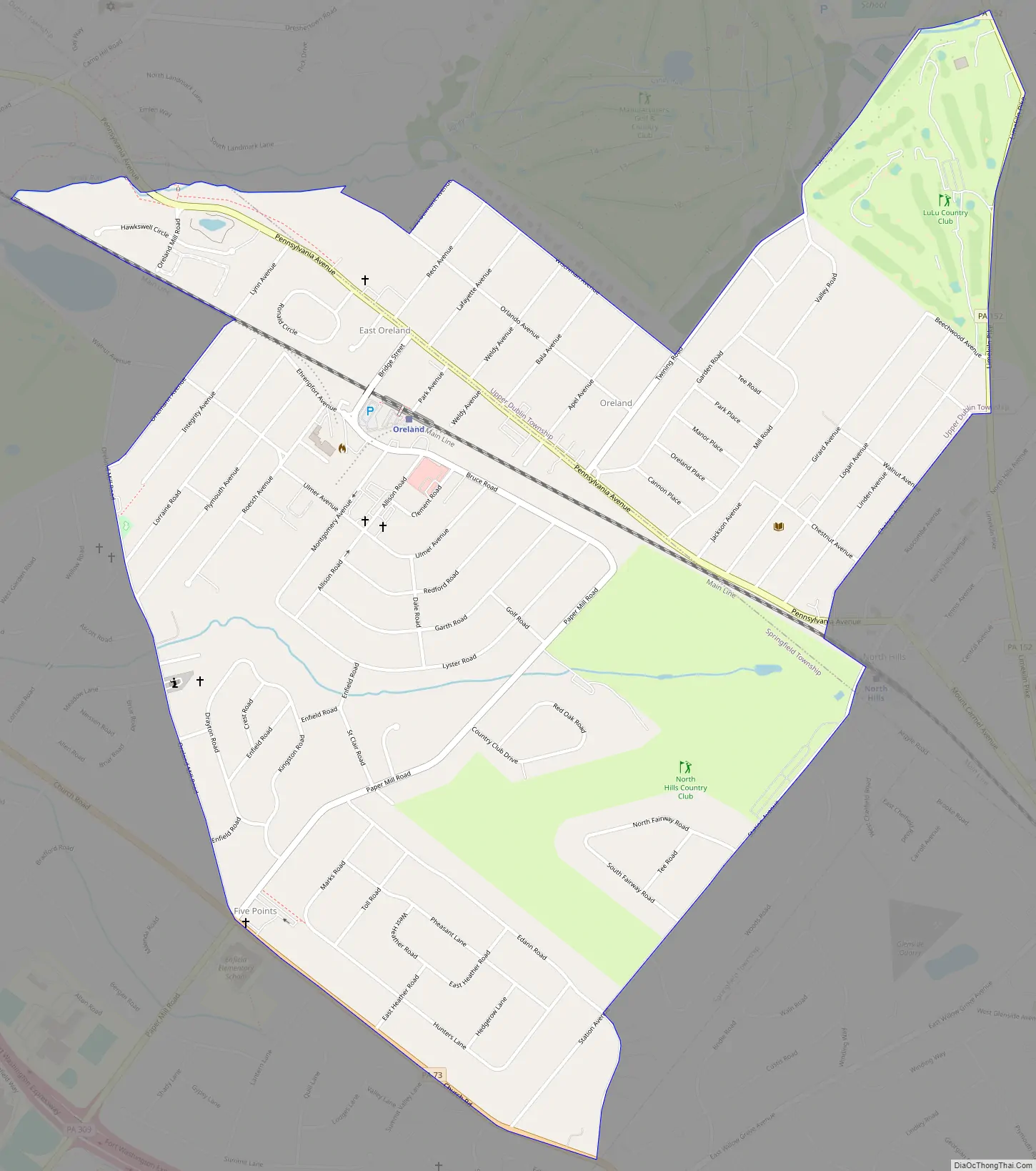
Oreland Road Map
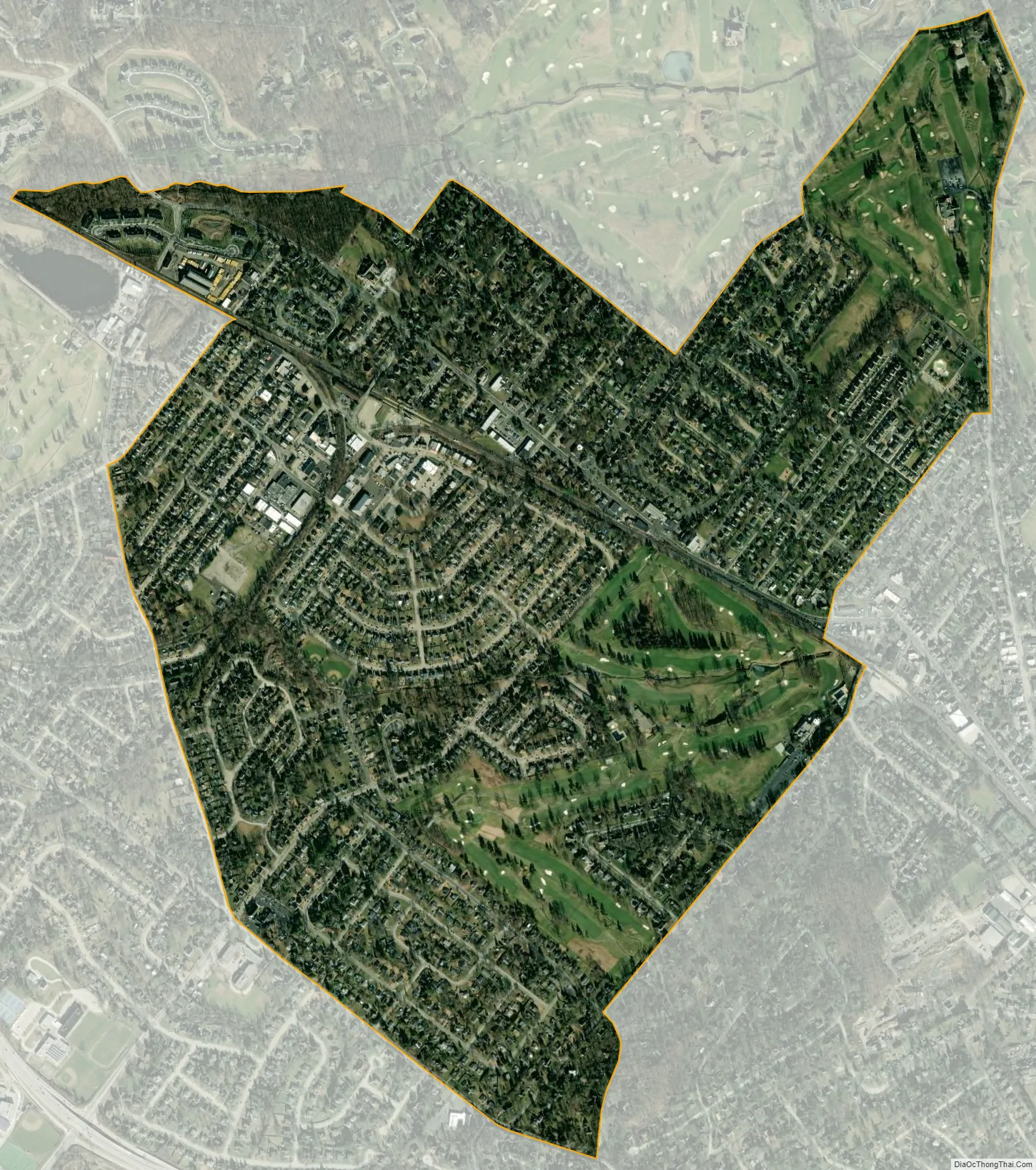
Oreland city Satellite Map
Geography
Oreland is located at 40°6′52″N 75°10′48″W / 40.11444°N 75.18000°W / 40.11444; -75.18000 (40.114510, -75.179880).
According to the United States Census Bureau, the CDP has a total area of 1.5 square miles (3.9 km), all land.
See also
Map of Pennsylvania State and its subdivision:- Adams
- Allegheny
- Armstrong
- Beaver
- Bedford
- Berks
- Blair
- Bradford
- Bucks
- Butler
- Cambria
- Cameron
- Carbon
- Centre
- Chester
- Clarion
- Clearfield
- Clinton
- Columbia
- Crawford
- Cumberland
- Dauphin
- Delaware
- Elk
- Erie
- Fayette
- Forest
- Franklin
- Fulton
- Greene
- Huntingdon
- Indiana
- Jefferson
- Juniata
- Lackawanna
- Lancaster
- Lawrence
- Lebanon
- Lehigh
- Luzerne
- Lycoming
- Mc Kean
- Mercer
- Mifflin
- Monroe
- Montgomery
- Montour
- Northampton
- Northumberland
- Perry
- Philadelphia
- Pike
- Potter
- Schuylkill
- Snyder
- Somerset
- Sullivan
- Susquehanna
- Tioga
- Union
- Venango
- Warren
- Washington
- Wayne
- Westmoreland
- Wyoming
- York
- Alabama
- Alaska
- Arizona
- Arkansas
- California
- Colorado
- Connecticut
- Delaware
- District of Columbia
- Florida
- Georgia
- Hawaii
- Idaho
- Illinois
- Indiana
- Iowa
- Kansas
- Kentucky
- Louisiana
- Maine
- Maryland
- Massachusetts
- Michigan
- Minnesota
- Mississippi
- Missouri
- Montana
- Nebraska
- Nevada
- New Hampshire
- New Jersey
- New Mexico
- New York
- North Carolina
- North Dakota
- Ohio
- Oklahoma
- Oregon
- Pennsylvania
- Rhode Island
- South Carolina
- South Dakota
- Tennessee
- Texas
- Utah
- Vermont
- Virginia
- Washington
- West Virginia
- Wisconsin
- Wyoming


