Orrstown is a borough in Franklin County, Pennsylvania, United States. The population was 214 at the 2020 census.
| Name: | Orrstown borough |
|---|---|
| LSAD Code: | 21 |
| LSAD Description: | borough (suffix) |
| State: | Pennsylvania |
| County: | Franklin County |
| Elevation: | 686 ft (209 m) |
| Total Area: | 0.06 sq mi (0.16 km²) |
| Land Area: | 0.06 sq mi (0.16 km²) |
| Water Area: | 0.00 sq mi (0.00 km²) |
| Total Population: | 214 |
| Population Density: | 3,343.75/sq mi (1,300.39/km²) |
| ZIP code: | 17244 |
| Area code: | 717 |
| FIPS code: | 4257112 |
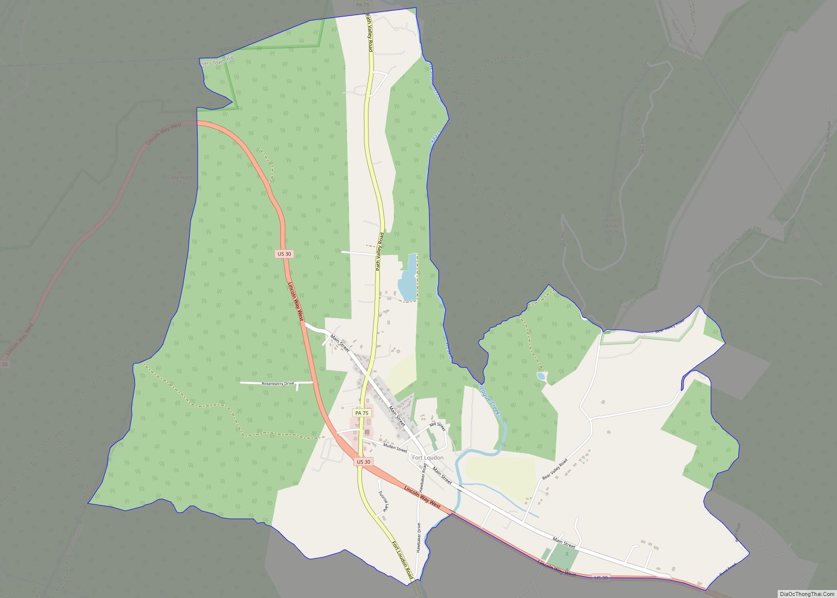
Online Interactive Map
Click on ![]() to view map in "full screen" mode.
to view map in "full screen" mode.
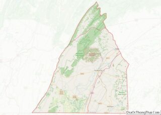
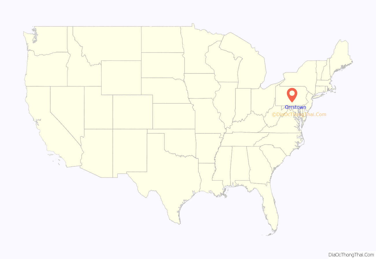
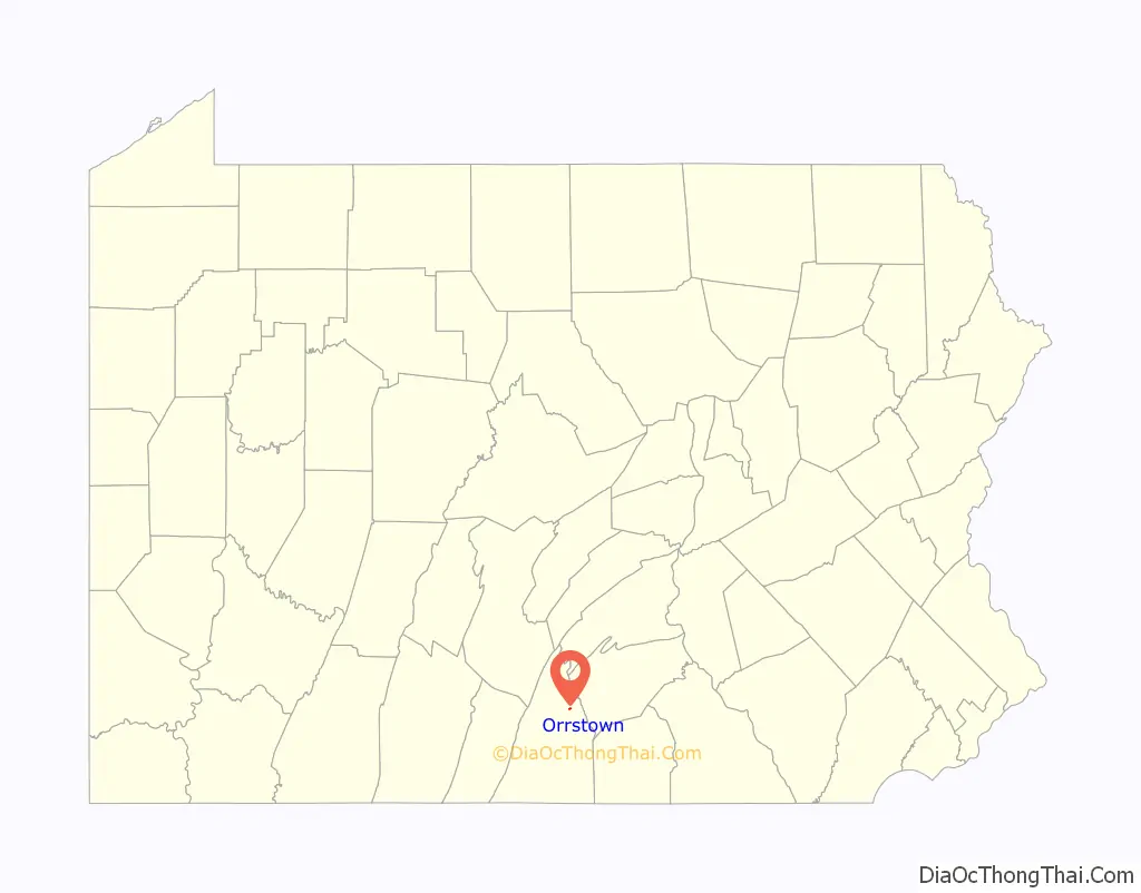
Orrstown location map. Where is Orrstown borough?
History
Orrstown was founded in 1833 by the Orr brothers. It is surrounded by Southampton Township in Franklin County, on the old state road from Shippensburg to Upper Strasburg. Settlements were made in that neighborhood as early as 1738. Before the completion of the Pennsylvania Railroad, horses and cattle were annually driven down the state road (now Pennsylvania Route 533/Orrstown Road) to eastern markets. The town was laid out in 1833, by John, William and James Orr. At first, they called it “Southampton”, after the township; but in 1835, when application was made for a post office to be called Southampton, the Post Office Department refused because there was already a post office of that name. George Chambers, who represented the area in Congress, named the post office “Orrstown”, and the name has since been attached to the town.
It was incorporated as a borough on May 3, 1847, and in 1878 the town had one hotel, two stores, one carriage factory, and four churches: Lutheran, Presbyterian, United Brethren and Winebrennerian. The populations was then 325.
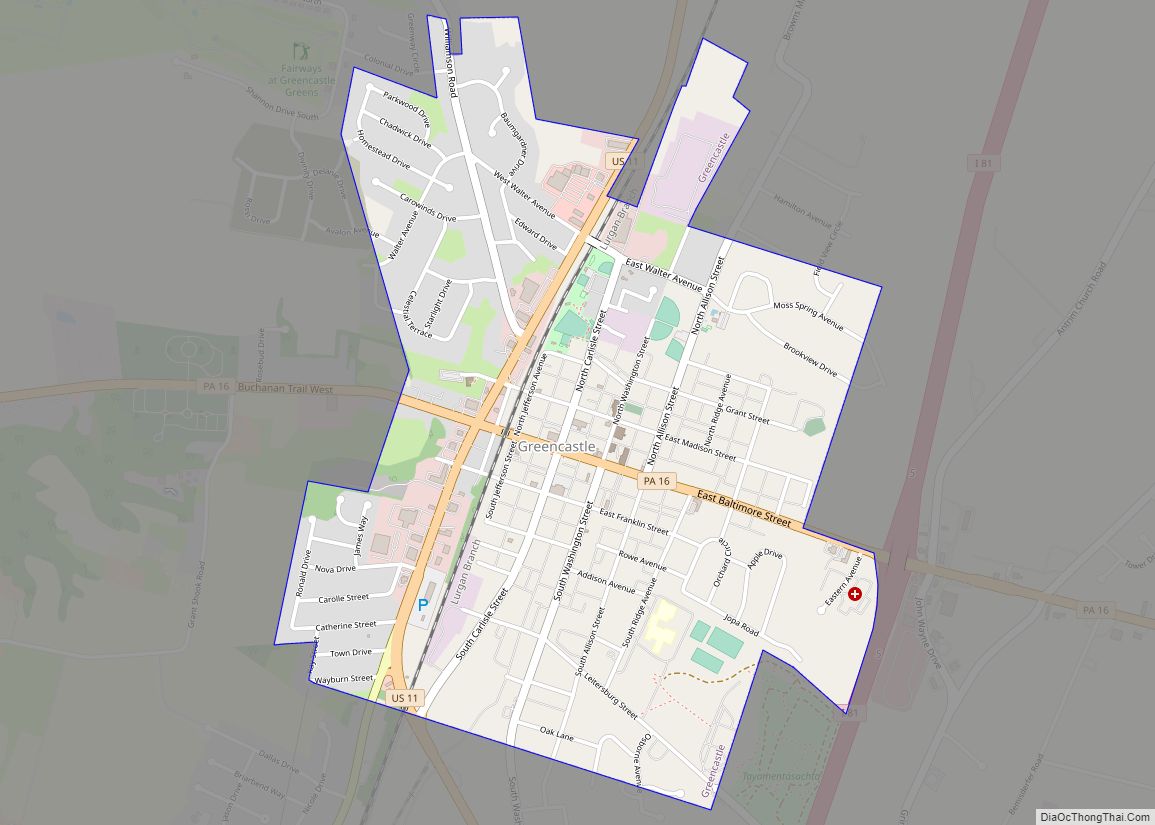
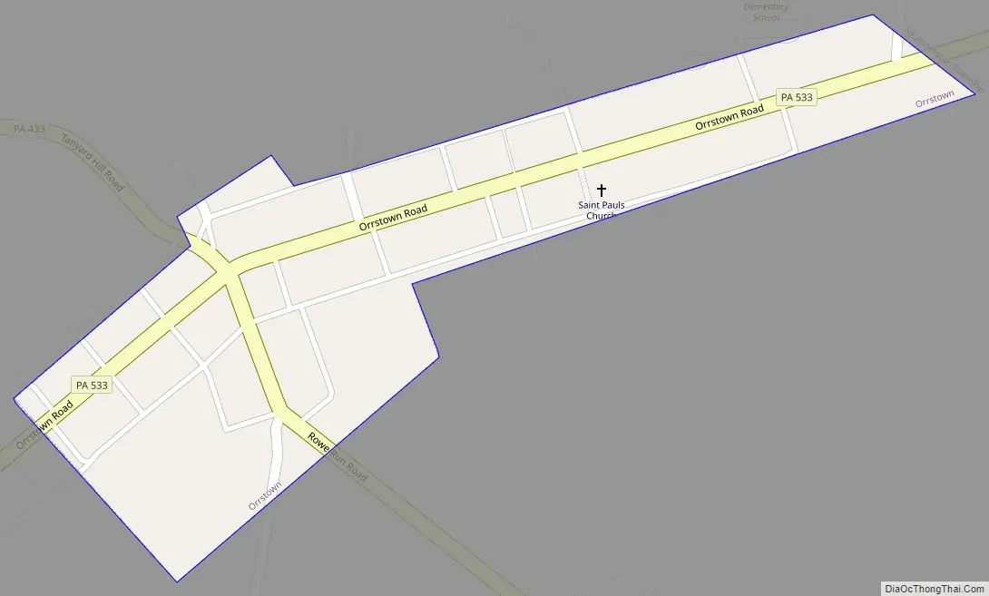
Orrstown Road Map
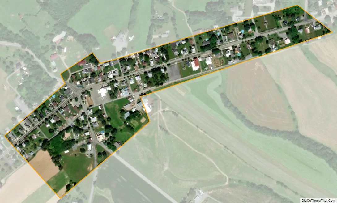
Orrstown city Satellite Map
Geography
Orrstown is located in northeastern Franklin County at 40°3′31″N 77°36′33″W / 40.05861°N 77.60917°W / 40.05861; -77.60917 (40.058482, -77.609213), at the intersection of Pennsylvania Routes 433 (Rowe Run Road) and 533 (Orrstown Road). PA 433 leads northwestward 5 miles (8 km) to Roxbury and south 5 miles to the Letterkenny Army Depot. Chambersburg, the county seat, is 11 miles (18 km) to the south via PA 433 and U.S. Route 11. PA 533 leads east five miles to Shippensburg and west 6 miles (10 km) to Upper Strasburg.
According to the United States Census Bureau, the borough has a total area of 0.06 square miles (0.16 km), all land. The borough sits on a low ridge between Conodoguinet Creek to the north and its tributary, Muddy Run to the south.
See also
Map of Pennsylvania State and its subdivision:- Adams
- Allegheny
- Armstrong
- Beaver
- Bedford
- Berks
- Blair
- Bradford
- Bucks
- Butler
- Cambria
- Cameron
- Carbon
- Centre
- Chester
- Clarion
- Clearfield
- Clinton
- Columbia
- Crawford
- Cumberland
- Dauphin
- Delaware
- Elk
- Erie
- Fayette
- Forest
- Franklin
- Fulton
- Greene
- Huntingdon
- Indiana
- Jefferson
- Juniata
- Lackawanna
- Lancaster
- Lawrence
- Lebanon
- Lehigh
- Luzerne
- Lycoming
- Mc Kean
- Mercer
- Mifflin
- Monroe
- Montgomery
- Montour
- Northampton
- Northumberland
- Perry
- Philadelphia
- Pike
- Potter
- Schuylkill
- Snyder
- Somerset
- Sullivan
- Susquehanna
- Tioga
- Union
- Venango
- Warren
- Washington
- Wayne
- Westmoreland
- Wyoming
- York
- Alabama
- Alaska
- Arizona
- Arkansas
- California
- Colorado
- Connecticut
- Delaware
- District of Columbia
- Florida
- Georgia
- Hawaii
- Idaho
- Illinois
- Indiana
- Iowa
- Kansas
- Kentucky
- Louisiana
- Maine
- Maryland
- Massachusetts
- Michigan
- Minnesota
- Mississippi
- Missouri
- Montana
- Nebraska
- Nevada
- New Hampshire
- New Jersey
- New Mexico
- New York
- North Carolina
- North Dakota
- Ohio
- Oklahoma
- Oregon
- Pennsylvania
- Rhode Island
- South Carolina
- South Dakota
- Tennessee
- Texas
- Utah
- Vermont
- Virginia
- Washington
- West Virginia
- Wisconsin
- Wyoming