Palo Alto is a borough in Schuylkill County, Pennsylvania, United States. Bacon Street is the main street of town.
This borough stretches along the south bank of the Schuylkill River, and maintains its own fire department and police department, but shares its zip code, telephone exchanges and school district with the city of Pottsville.
The population was nine hundred and seventy-one at the time of the 2020 census.
| Name: | Palo Alto borough |
|---|---|
| LSAD Code: | 21 |
| LSAD Description: | borough (suffix) |
| State: | Pennsylvania |
| County: | Schuylkill County |
| Incorporated: | 1854 |
| Total Area: | 1.04 sq mi (2.70 km²) |
| Land Area: | 1.04 sq mi (2.70 km²) |
| Water Area: | 0.00 sq mi (0.00 km²) |
| Total Population: | 970 |
| Population Density: | 929.12/sq mi (358.63/km²) |
| Area code: | 570 |
| FIPS code: | 4257752 |
| Website: | http://www.paloaltopa.com/ |
Online Interactive Map
Click on ![]() to view map in "full screen" mode.
to view map in "full screen" mode.
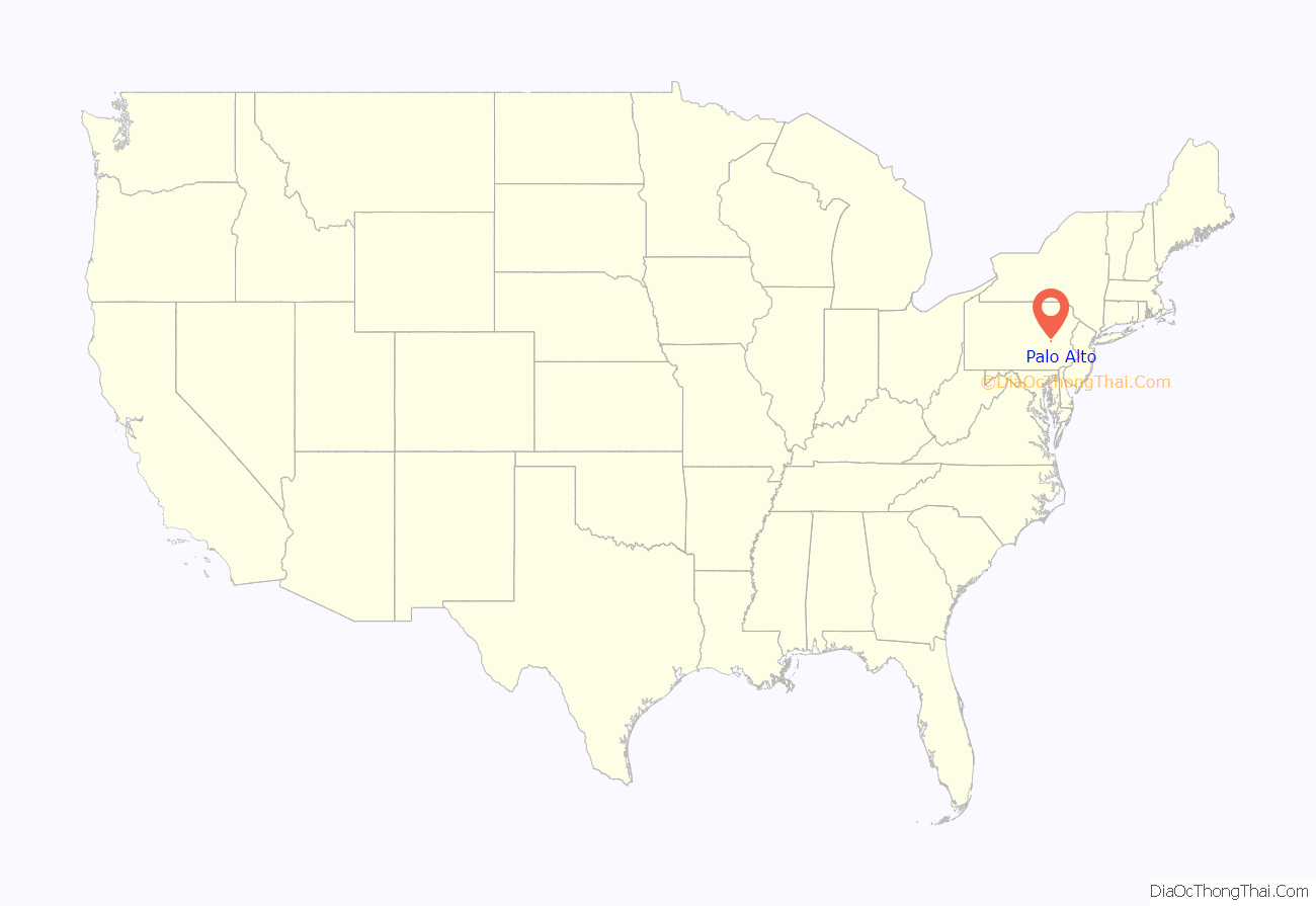
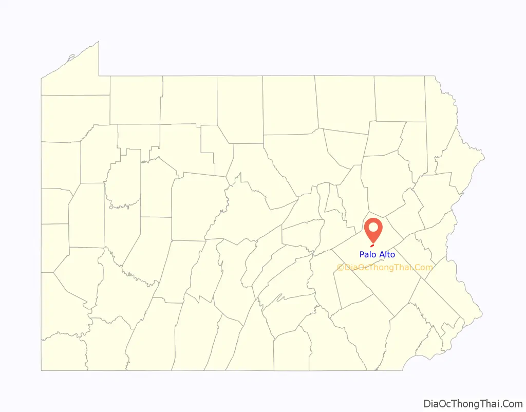
Palo Alto location map. Where is Palo Alto borough?
History
Heavily forested until the mid-1870s, the land which became the community of Palo Alto was the site of a log cabin and wooden blacksmith’s shanty earlier in the nineteenth century. As more and more settlers arrived in the region, the Philadelphia and Reading Railroad and the Schuylkill Navigation Company (later known as the Schuylkill Canal) opened stops here. In response, the neighboring land was surveyed and plotted out by John G. Hewes between late 1844 and early 1845 to create the town of Palo Alto.
As more boatmen and other laborers arrived to work on the canal and railroad, mining companies continued to increase their hiring of miners to work deep underground in their anthracite coal collieries that were operating across Schuylkill County, which sparked the opening of stores and other businesses to serve the town’s growing population.
A public school was established sometime during this phase of the community’s expansion; it was situated in the town’s eastern section.
Officially incorporated as a borough in 1854, Palo Alto may have been given its name because of “very high timber [that] grew on the mountain above it,” according to historians.
The borough’s first elected officials were Burgess Waters S. Chillson, William. M. Stellwagon, clerk, and borough council members Wiiliam Bensinger, Allen Enison, John Griner, Jacob Lime, David Riley, and William Stellwagon. A second public school was then opened in the borough’s western section. Both schools were two-room structures with stone exteriors.
Between 1854 and 1855, William Harris erected and began operating a large rolling mill plant, which produced railroad iron. That plant was subsequently purchased by Benjamin Haywood, who built a second rolling mill in the town in 1863. The two-plant operation was known as the Palo Alto Rolling Mill. The Philadelphia and Reading Railroad, which was one of the company’s major customers, operated a roundhouse and repair facility roughly a mile west of both rolling mills.
By 1856, a stable water system was in place with water supplied by the Pottsville Water Company.
In 1866, community leaders designed and built a Methodist Episcopal church on Union Street at a cost of thirteen hundred dollars.
The borough’s first post office opened in 1870, but it ceased operations in 1873. Mail service was subsequently provided by a post office branch in Pottsville.
In 1878, borough leaders built a new, two-story public school in the center of the community. Equipped with mountain spring-supplied water and steam heat, it delivered multiple grades of education in four classrooms while the two older schools focused on providing primary school instruction. Roughly three hundred students were educated annually at this time
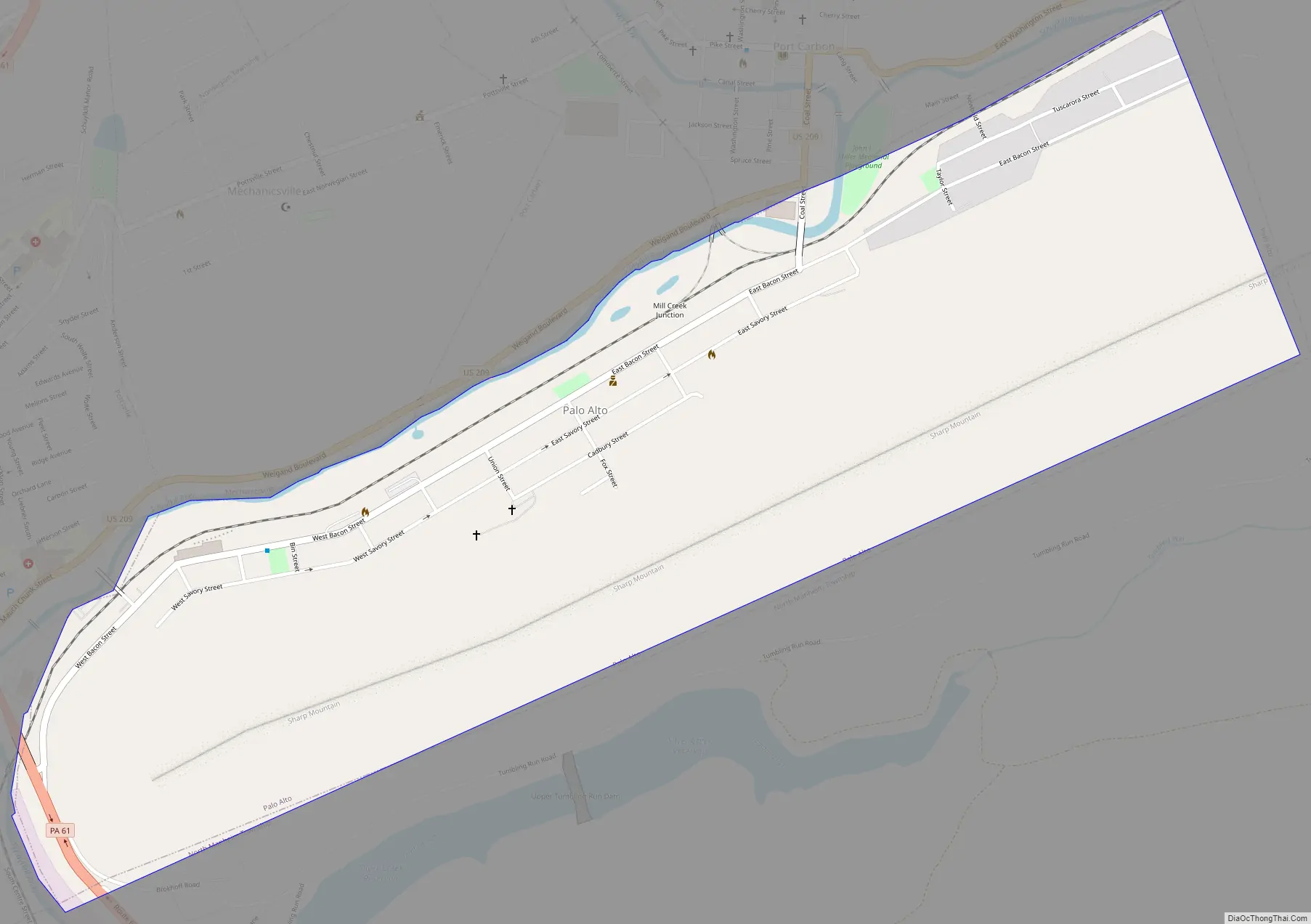
Palo Alto Road Map
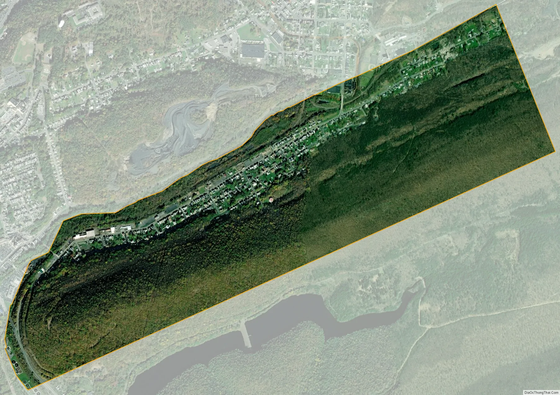
Palo Alto city Satellite Map
Geography
Palo Alto is located at 40°41′16″N 76°10′16″W / 40.687881°N 76.171194°W / 40.687881; -76.171194.
According to the United States Census Bureau, the borough has a total area of 1.1 square miles (2.8 km), all of it land.
See also
Map of Pennsylvania State and its subdivision:- Adams
- Allegheny
- Armstrong
- Beaver
- Bedford
- Berks
- Blair
- Bradford
- Bucks
- Butler
- Cambria
- Cameron
- Carbon
- Centre
- Chester
- Clarion
- Clearfield
- Clinton
- Columbia
- Crawford
- Cumberland
- Dauphin
- Delaware
- Elk
- Erie
- Fayette
- Forest
- Franklin
- Fulton
- Greene
- Huntingdon
- Indiana
- Jefferson
- Juniata
- Lackawanna
- Lancaster
- Lawrence
- Lebanon
- Lehigh
- Luzerne
- Lycoming
- Mc Kean
- Mercer
- Mifflin
- Monroe
- Montgomery
- Montour
- Northampton
- Northumberland
- Perry
- Philadelphia
- Pike
- Potter
- Schuylkill
- Snyder
- Somerset
- Sullivan
- Susquehanna
- Tioga
- Union
- Venango
- Warren
- Washington
- Wayne
- Westmoreland
- Wyoming
- York
- Alabama
- Alaska
- Arizona
- Arkansas
- California
- Colorado
- Connecticut
- Delaware
- District of Columbia
- Florida
- Georgia
- Hawaii
- Idaho
- Illinois
- Indiana
- Iowa
- Kansas
- Kentucky
- Louisiana
- Maine
- Maryland
- Massachusetts
- Michigan
- Minnesota
- Mississippi
- Missouri
- Montana
- Nebraska
- Nevada
- New Hampshire
- New Jersey
- New Mexico
- New York
- North Carolina
- North Dakota
- Ohio
- Oklahoma
- Oregon
- Pennsylvania
- Rhode Island
- South Carolina
- South Dakota
- Tennessee
- Texas
- Utah
- Vermont
- Virginia
- Washington
- West Virginia
- Wisconsin
- Wyoming


