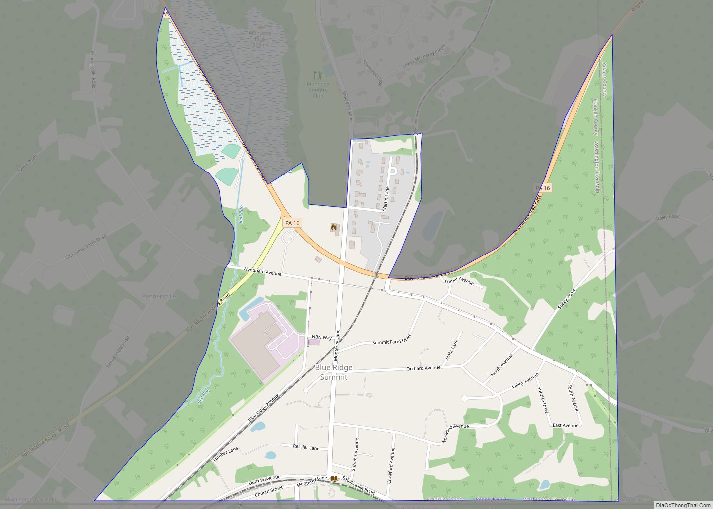
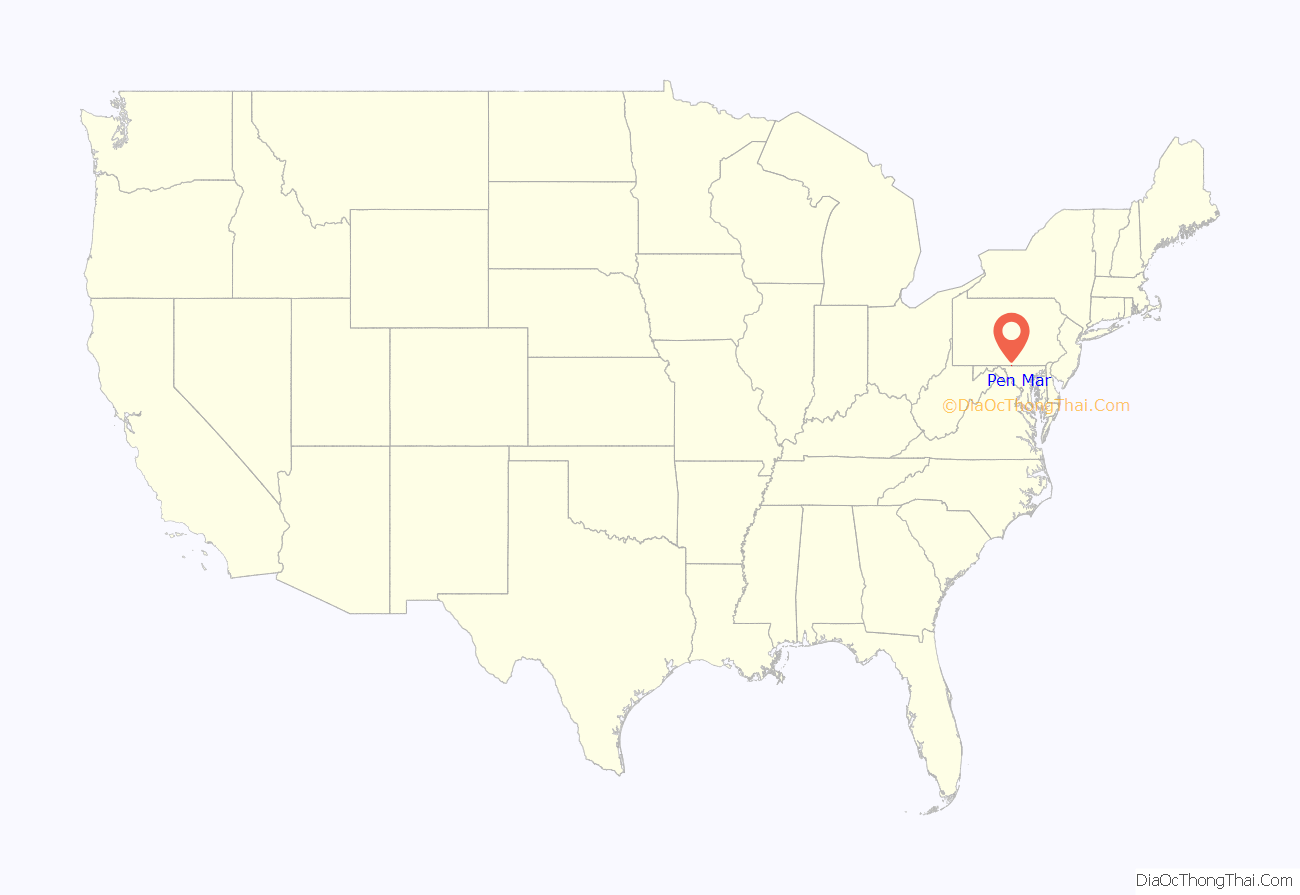
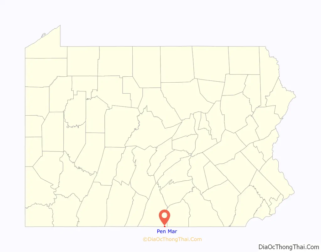
Pen Mar is an unincorporated community and census-designated place (CDP) that is located in Washington Township, Franklin County, Pennsylvania, United States. It is situated on the Mason–Dixon line, bordered to the south by the community of Pen Mar Park in Maryland.
| Name: | Pen Mar CDP |
|---|---|
| LSAD Code: | 57 |
| LSAD Description: | CDP (suffix) |
| State: | Pennsylvania |
| County: | Franklin County |
| Elevation: | 1,246 ft (380 m) |
| Total Area: | 0.75 sq mi (1.93 km²) |
| Land Area: | 0.74 sq mi (1.91 km²) |
| Water Area: | 0.01 sq mi (0.02 km²) |
| Total Population: | 947 |
| Population Density: | 1,281.46/sq mi (495.04/km²) |
| ZIP code: | 17268 |
| FIPS code: | 4258776 |
| GNISfeature ID: | 2634268 |
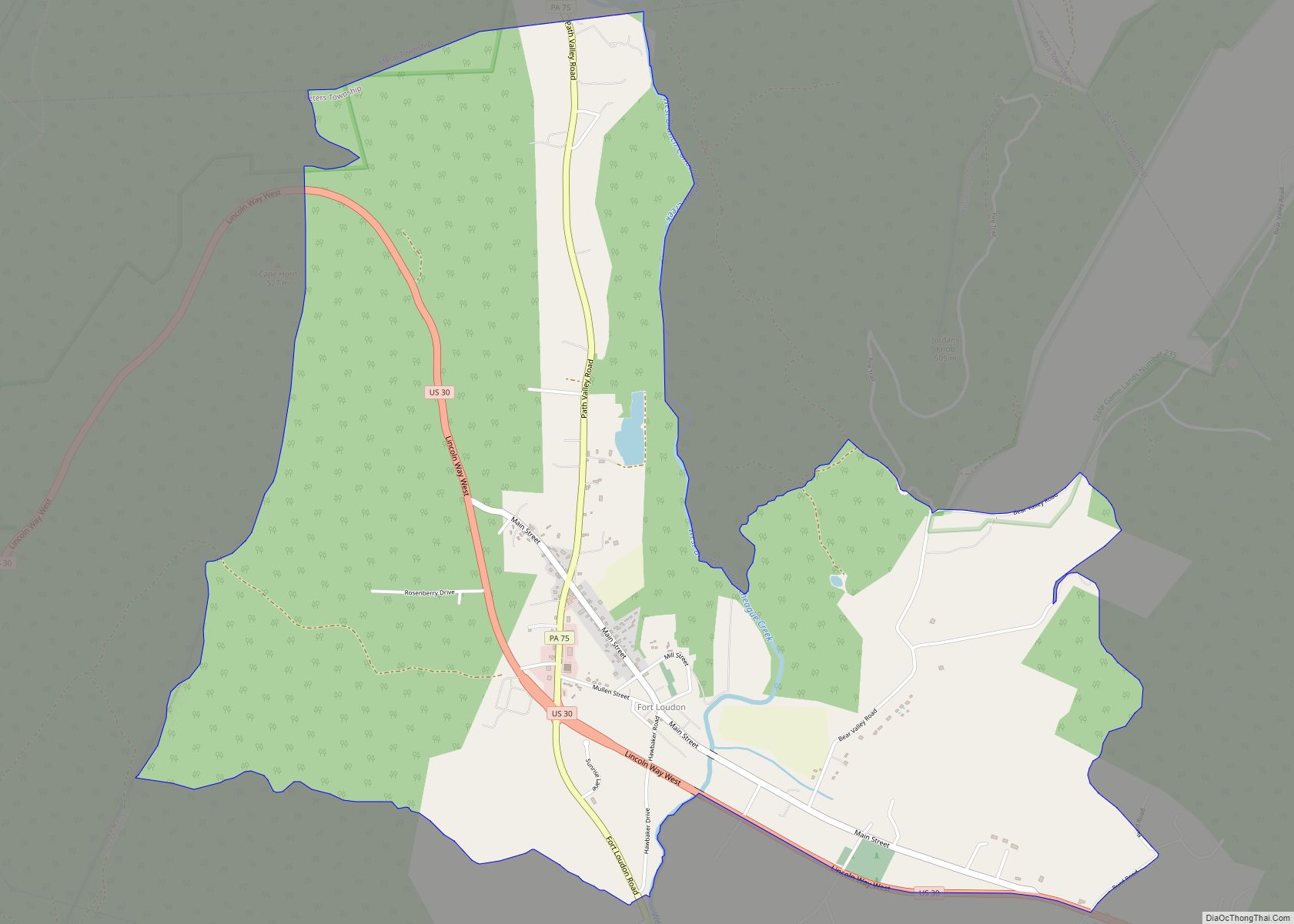
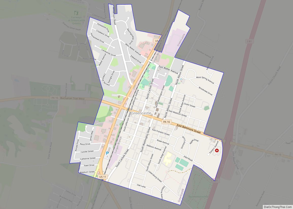
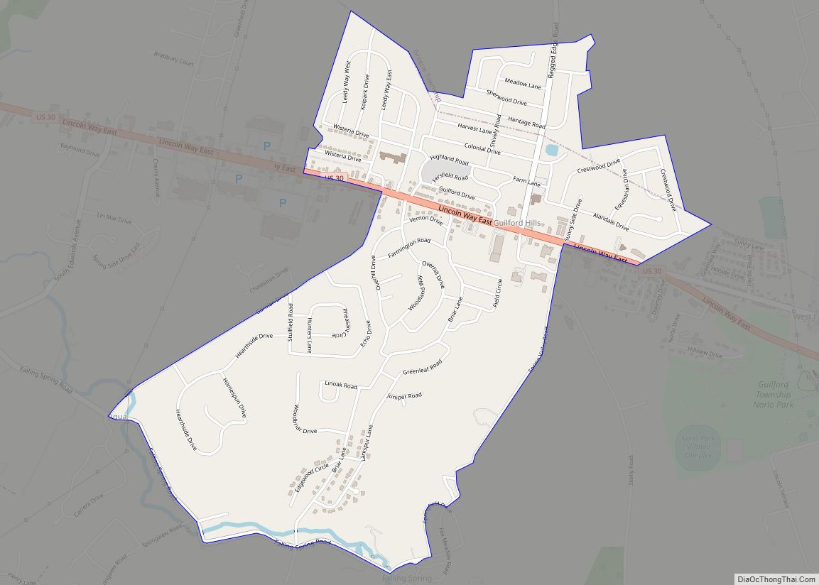
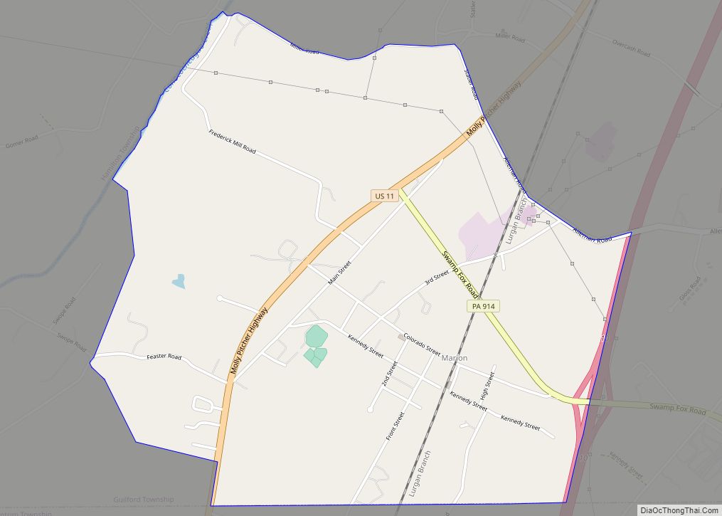
Online Interactive Map
Click on ![]() to view map in "full screen" mode.
to view map in "full screen" mode.
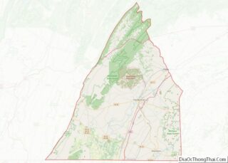
Pen Mar location map. Where is Pen Mar CDP?
History
The community’s name is a portmanteau of “Pennsylvania” and “Maryland”.
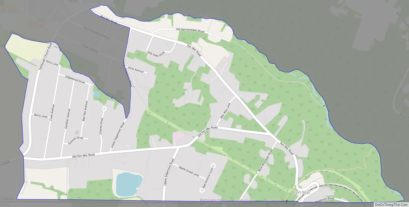
Pen Mar Road Map
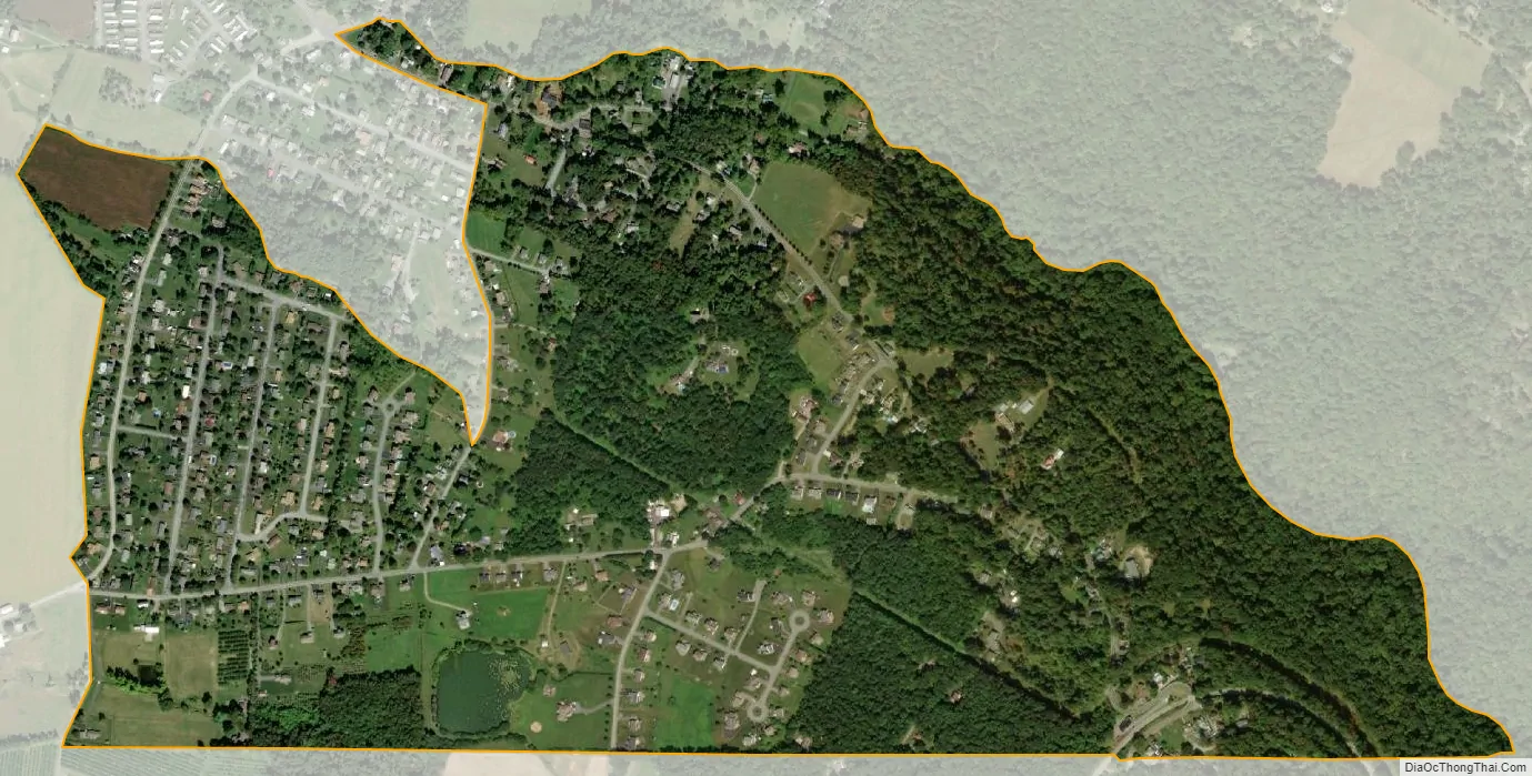
Pen Mar city Satellite Map
Geography
Pen Mar is located in southeastern Franklin County, on the western slope of South Mountain. Pennsylvania Route 550 is the main road through the community, leading northwest down the mountain 2 miles (3 km) to Rouzerville. Waynesboro is 4.5 miles (7.2 km) northwest of Pen Mar, and the site of the former Fort Ritchie in Maryland is 1 mile (1.6 km) to the southeast.
See also
Map of Pennsylvania State and its subdivision:- Adams
- Allegheny
- Armstrong
- Beaver
- Bedford
- Berks
- Blair
- Bradford
- Bucks
- Butler
- Cambria
- Cameron
- Carbon
- Centre
- Chester
- Clarion
- Clearfield
- Clinton
- Columbia
- Crawford
- Cumberland
- Dauphin
- Delaware
- Elk
- Erie
- Fayette
- Forest
- Franklin
- Fulton
- Greene
- Huntingdon
- Indiana
- Jefferson
- Juniata
- Lackawanna
- Lancaster
- Lawrence
- Lebanon
- Lehigh
- Luzerne
- Lycoming
- Mc Kean
- Mercer
- Mifflin
- Monroe
- Montgomery
- Montour
- Northampton
- Northumberland
- Perry
- Philadelphia
- Pike
- Potter
- Schuylkill
- Snyder
- Somerset
- Sullivan
- Susquehanna
- Tioga
- Union
- Venango
- Warren
- Washington
- Wayne
- Westmoreland
- Wyoming
- York
- Alabama
- Alaska
- Arizona
- Arkansas
- California
- Colorado
- Connecticut
- Delaware
- District of Columbia
- Florida
- Georgia
- Hawaii
- Idaho
- Illinois
- Indiana
- Iowa
- Kansas
- Kentucky
- Louisiana
- Maine
- Maryland
- Massachusetts
- Michigan
- Minnesota
- Mississippi
- Missouri
- Montana
- Nebraska
- Nevada
- New Hampshire
- New Jersey
- New Mexico
- New York
- North Carolina
- North Dakota
- Ohio
- Oklahoma
- Oregon
- Pennsylvania
- Rhode Island
- South Carolina
- South Dakota
- Tennessee
- Texas
- Utah
- Vermont
- Virginia
- Washington
- West Virginia
- Wisconsin
- Wyoming