Penn Lake Park is a borough in Luzerne County, Pennsylvania, United States. The population was 359 at the 2020 census.
| Name: | Penn Lake Park borough |
|---|---|
| LSAD Code: | 21 |
| LSAD Description: | borough (suffix) |
| State: | Pennsylvania |
| County: | Luzerne County |
| Incorporated: | 1976 |
| Elevation: | 1,400 ft (400 m) |
| Total Area: | 1.67 sq mi (4.31 km²) |
| Land Area: | 1.58 sq mi (4.10 km²) |
| Water Area: | 0.08 sq mi (0.21 km²) |
| Total Population: | 360 |
| Population Density: | 227.42/sq mi (87.83/km²) |
| Area code: | 570 |
| FIPS code: | 4259054 |
| Website: | www.pennlake.org |
Online Interactive Map
Click on ![]() to view map in "full screen" mode.
to view map in "full screen" mode.
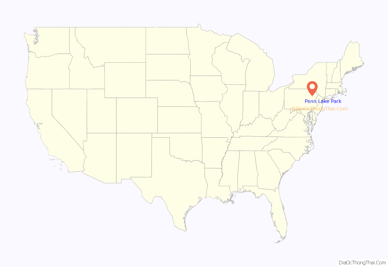
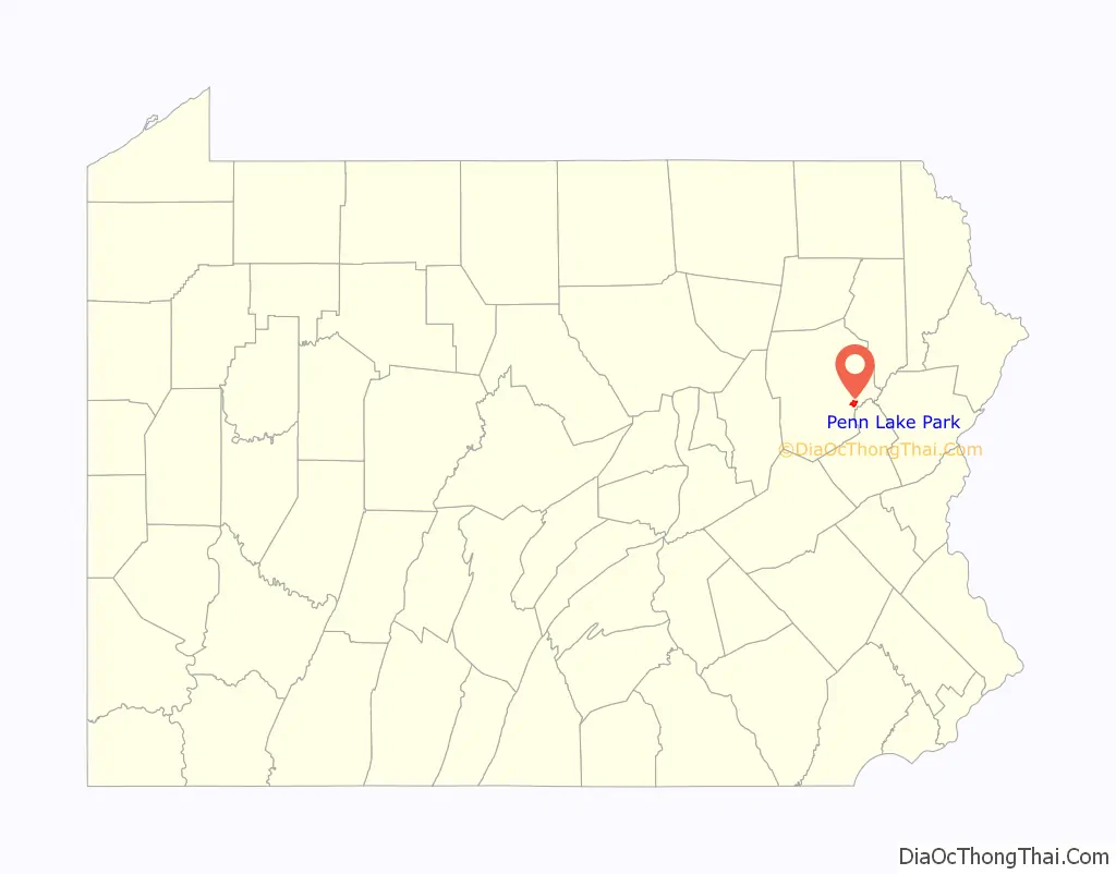
Penn Lake Park location map. Where is Penn Lake Park borough?
History
The community was founded in 1938, after ice salesman Albert Lewis used the lake to chip out his product. In 1946, Harry and Mary Goeringer bought the lake — and the 800 acres around it — from Lewis. They built a house by the lake; they later divided the rest of the land into parcels. It became a borough in 1976, when Penn Lake Park applied for a state grant because the lake’s dam needed a major repair.
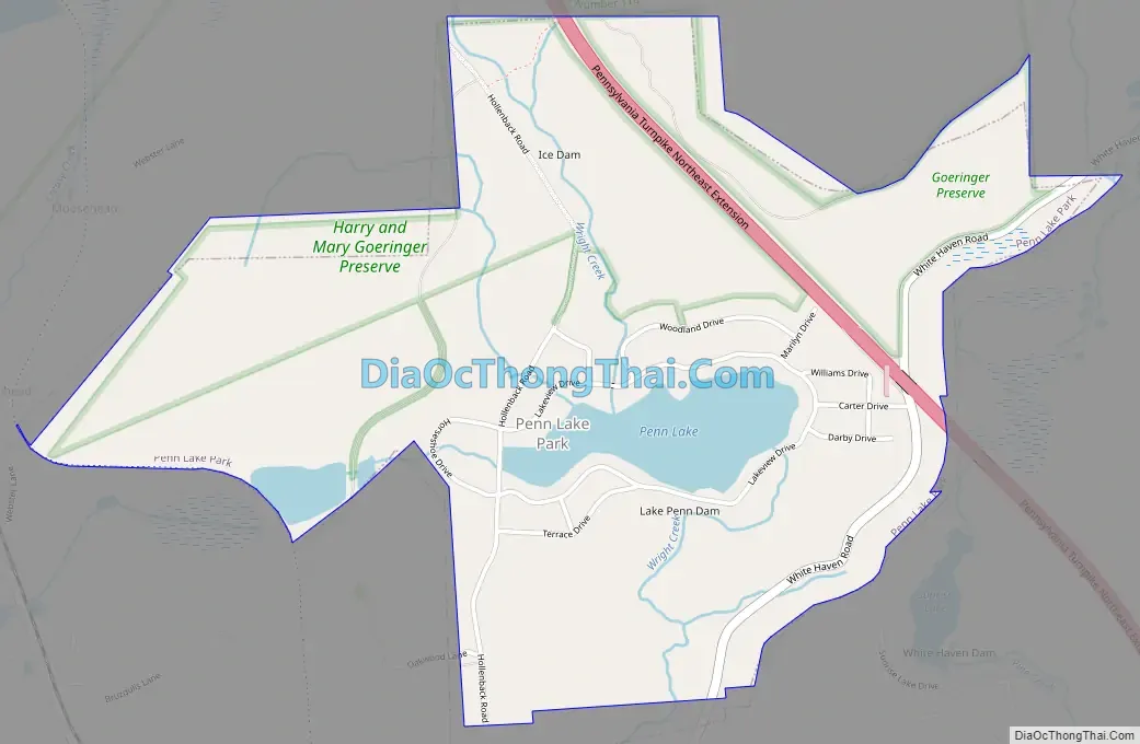
Penn Lake Park Road Map
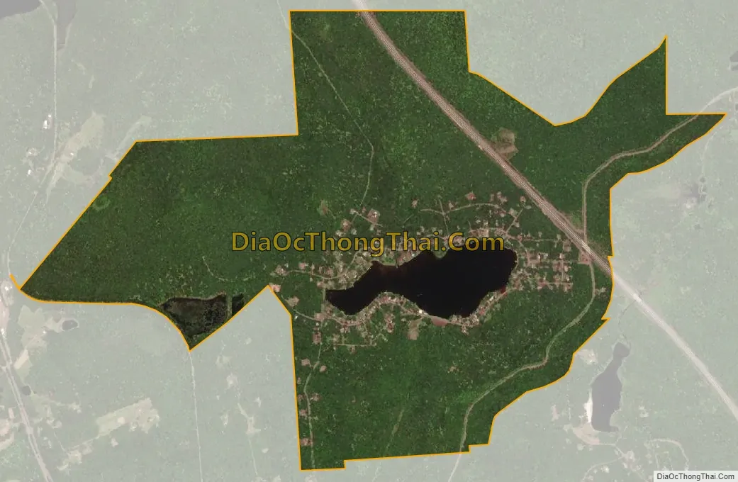
Penn Lake Park city Satellite Map
Geography
Penn Lake Park is located at 41°06′54″N 75°46′12″W / 41.115027°N 75.769922°W / 41.115027; -75.769922. According to the United States Census Bureau, the borough has a total area of 1.6 square miles (4.2 km), of which 1.5 square miles (4.0 km) is land and 0.08 square miles (0.2 km), or 5.05%, is water.
Penn Lake Park is located 10 miles (16 km) south of Wilkes-Barre.
See also
Map of Pennsylvania State and its subdivision:- Adams
- Allegheny
- Armstrong
- Beaver
- Bedford
- Berks
- Blair
- Bradford
- Bucks
- Butler
- Cambria
- Cameron
- Carbon
- Centre
- Chester
- Clarion
- Clearfield
- Clinton
- Columbia
- Crawford
- Cumberland
- Dauphin
- Delaware
- Elk
- Erie
- Fayette
- Forest
- Franklin
- Fulton
- Greene
- Huntingdon
- Indiana
- Jefferson
- Juniata
- Lackawanna
- Lancaster
- Lawrence
- Lebanon
- Lehigh
- Luzerne
- Lycoming
- Mc Kean
- Mercer
- Mifflin
- Monroe
- Montgomery
- Montour
- Northampton
- Northumberland
- Perry
- Philadelphia
- Pike
- Potter
- Schuylkill
- Snyder
- Somerset
- Sullivan
- Susquehanna
- Tioga
- Union
- Venango
- Warren
- Washington
- Wayne
- Westmoreland
- Wyoming
- York
- Alabama
- Alaska
- Arizona
- Arkansas
- California
- Colorado
- Connecticut
- Delaware
- District of Columbia
- Florida
- Georgia
- Hawaii
- Idaho
- Illinois
- Indiana
- Iowa
- Kansas
- Kentucky
- Louisiana
- Maine
- Maryland
- Massachusetts
- Michigan
- Minnesota
- Mississippi
- Missouri
- Montana
- Nebraska
- Nevada
- New Hampshire
- New Jersey
- New Mexico
- New York
- North Carolina
- North Dakota
- Ohio
- Oklahoma
- Oregon
- Pennsylvania
- Rhode Island
- South Carolina
- South Dakota
- Tennessee
- Texas
- Utah
- Vermont
- Virginia
- Washington
- West Virginia
- Wisconsin
- Wyoming


