Perkasie is a borough in Bucks County, Pennsylvania. Perkasie is 21.5 miles (34.6 km) southeast of Allentown and 39.2 miles (63.1 km) north of Philadelphia.
Establishments in the borough early in the twentieth century included silk mills, brickyards, lumber mills, tile works, a stone crusher, and manufacturies of cigars, tags and labels, and wire novelties. The population in 1900 was 1,803; in 1910, 2,779 people lived in Perkasie. The population was 8,511 at the 2010 census.
| Name: | Perkasie borough |
|---|---|
| LSAD Code: | 21 |
| LSAD Description: | borough (suffix) |
| State: | Pennsylvania |
| County: | Bucks County |
| Elevation: | 436 ft (133 m) |
| Total Area: | 2.56 sq mi (6.64 km²) |
| Land Area: | 2.54 sq mi (6.57 km²) |
| Water Area: | 0.03 sq mi (0.07 km²) |
| Total Population: | 9,120 |
| Population Density: | 3,597.63/sq mi (1,388.88/km²) |
| FIPS code: | 4259384 |
| Website: | www.perkasieborough.org |
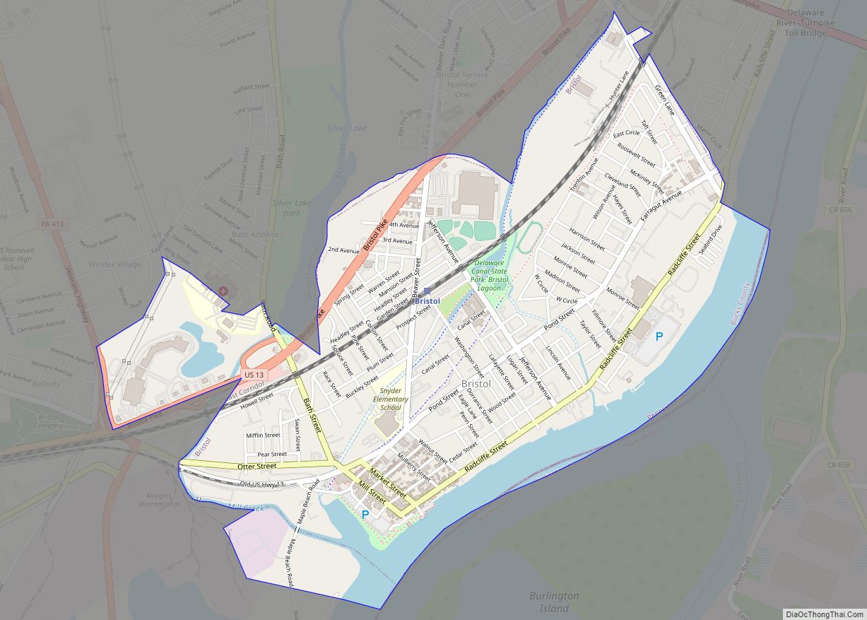
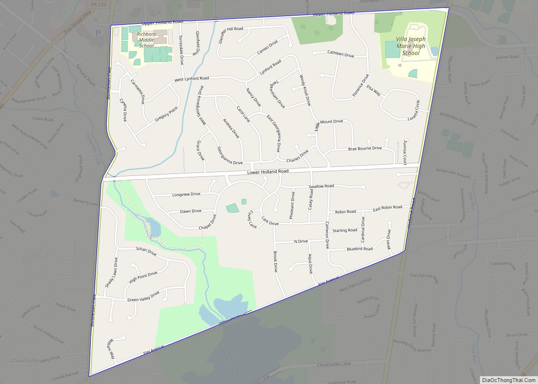
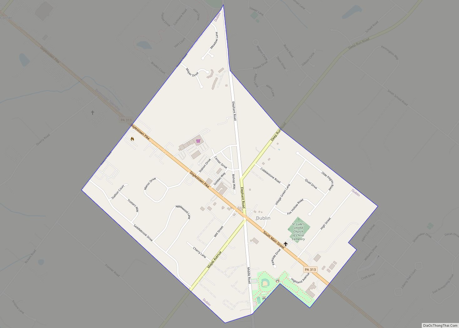
Online Interactive Map
Click on ![]() to view map in "full screen" mode.
to view map in "full screen" mode.
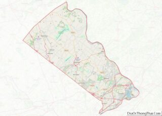
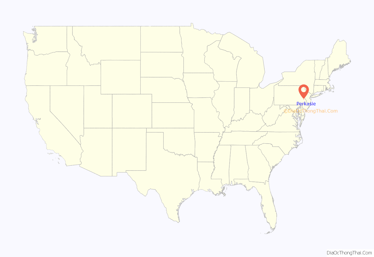
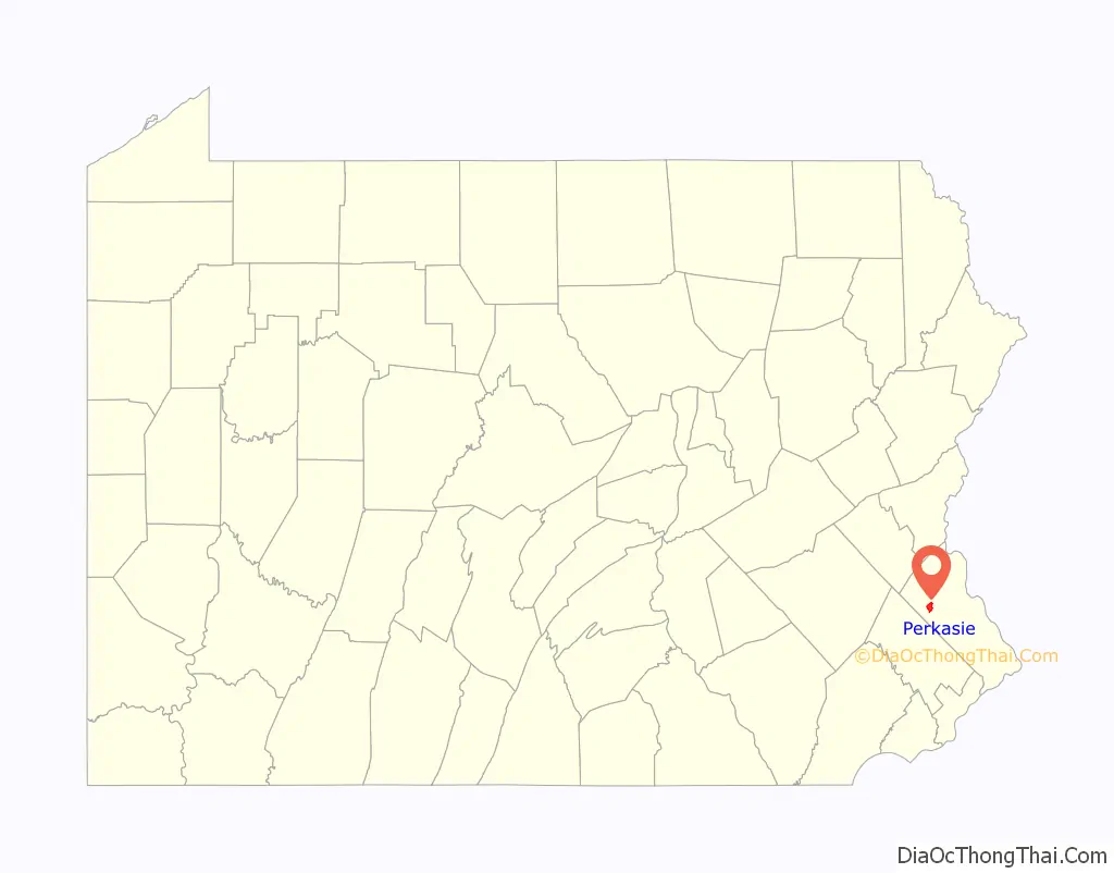
Perkasie location map. Where is Perkasie borough?
History
Perkasie etymology and town formation
Both the town of Perkasie and Pocasie Creek derive their name from the Lenape Unami phrase Pèhpahkàsink/Poekskossing, which translates to “One who goes to the place to crack nuts”. The Dutch/Swedish (before the British settlements) pronounced the word with an r and it stuck. There was doubtless a village on the site of the present town before William Penn’s Perkasie Manor was settled.” “The “Manor” of Perkasie was one of several in Bucks County and contained 11,462 acres (4,639 ha). Laid out and surveyed in 1708, it embraced most of Hilltown and Rockhill Township.”
1890 fire
On June 8, 1890, a disastrous fire began at the livery stable located at 7th and Chestnut Streets; twelve buildings were destroyed. Personal buckets and ladders were used to extinguish the fire. Less than a month later, on July 4, 1890, a committee appointed by Perkasie Borough Council met to form the Hope Fire Company. On September 8, 1890, the Hope Fire Company met at Groover’s Hall (517 Chestnut Street) and adopted a constitution and by-laws; 32 members were present. At the same time, borough council turned over to the fire company a hand pumper purchased from Newtown Fire Association, and a hose cart purchased from Philadelphia with 800 feet (240 m) of hose. One month later the Philadelphia & Reading Railroad presented the Fire Company with a tire for a steam locomotive driver wheel for use as a fire alarm. This was installed in a cupola of the Groover building (now in front of Silverdale Fire Company).
Industry
Between 1920 and 1950, a factory at 815 Chestnut Street produced millions of hand stitched major-league baseballs through a Hubbert/Spalding contract. The building was subsequently converted into the Senior Citizens Center, which has since moved to the neighboring borough of Silverdale. It is now scheduled to be converted to six two-bedroom condominiums by Habitat for Humanity of Bucks County to provide a new start for families in need. The organization plans to utilize green building techniques while preserving the building’s historical exterior.
1988 fire and recovery
On June 26, 1988, about 15 percent of the town, including many historic buildings, were burned down in what became known as The Great Perkasie Fire. This massive fire was started by two 12-year-old boys who were playing with a lighter near the coal bins behind the Shelley & Sons lumberyard at Seventh and Market Streets. The fire was fought by about 300 firefighters who came from over 50 fire companies in three counties. Among the historic buildings lost were the American House and the Moyer-Kantner Funeral Home, both dating from 1870; the Herstine Building; and the J.G. Moyer building. The latter was photographed for the cover of the July 7, 1945 edition of The Saturday Evening Post, an artistic rendition of a Fourth of July parade by John Falter. Despite the size of the fire, no fatalities were reported. Immediately after the fire, a group of concerned business owners, residents and borough officials formed a Downtown Restoration Task Force. The Task Force was given the name of the Perkasie Olde Towne Association. This group was the forerunner to the Perkasie Towne Improvement Association (PTIA). The PTIA along with Perkasie’s local government were responsible for the three-phase town improvement plan that was completed over the next five intervening years. The PTIA’s focus was to oversee the reconstruction of not only the area of the town center affected by the fire, but also other retail and residential areas in the central part of the borough. As a result of these efforts, streetscape enhancements of decorative street lights, underground utilities, new sidewalks with decorative brick borders were built and new benches, trash receptacles and street trees were placed throughout the focus area.
Historical sites
The South Perkasie Covered Bridge was listed on the National Register of Historic Places in 1980. The Pearl S. Buck House at Green Hills Farm, which is on the National Register of Historic Places, is located near Perkasie in Hilltown Twp.
Interurban trolley to Philadelphia
From 1901 to 1951, Perkasie was an important stop on the hourly running Lehigh Valley Transit Company’s electric interurban trolley line from Allentown through Quakertown to Perkasie, then south to Sellersville, Souderton, Lansdale, Norristown, and Philadelphia. During World War II, as the result of gasoline rationing with auto use restricted, it transported a very large number of passengers. After the war, the railway’s business collapsed, and it ceased service in 1951. The LVT former station sits on 4th Street, just south of the LVT tunnel (with a trolley mural on one wall) which passed under the former Reading Railroad’s line to Bethlehem.
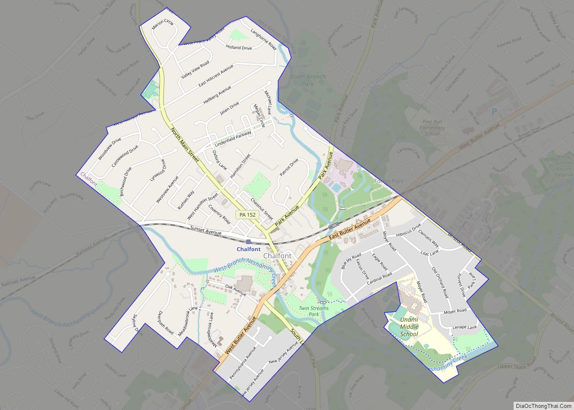
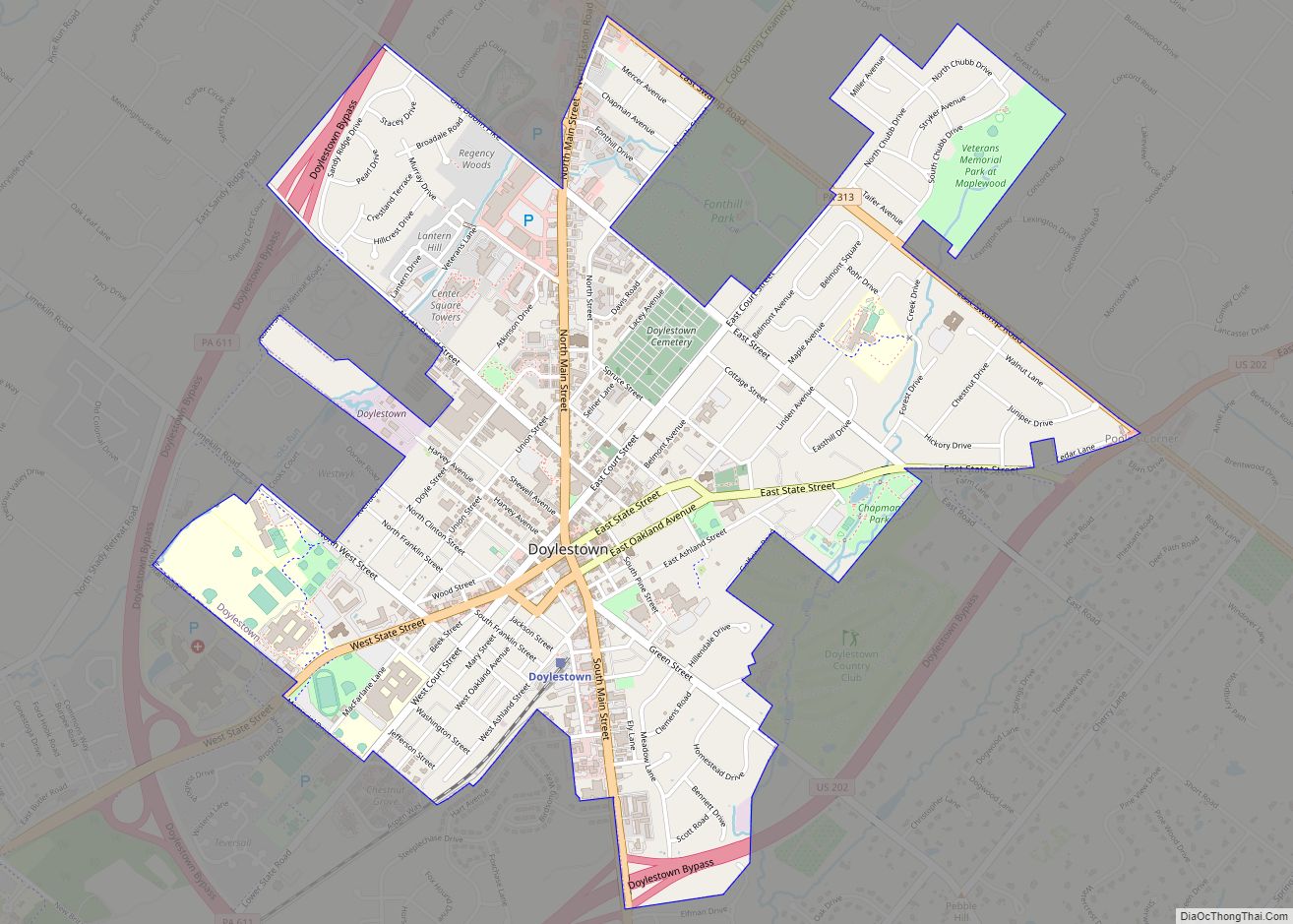
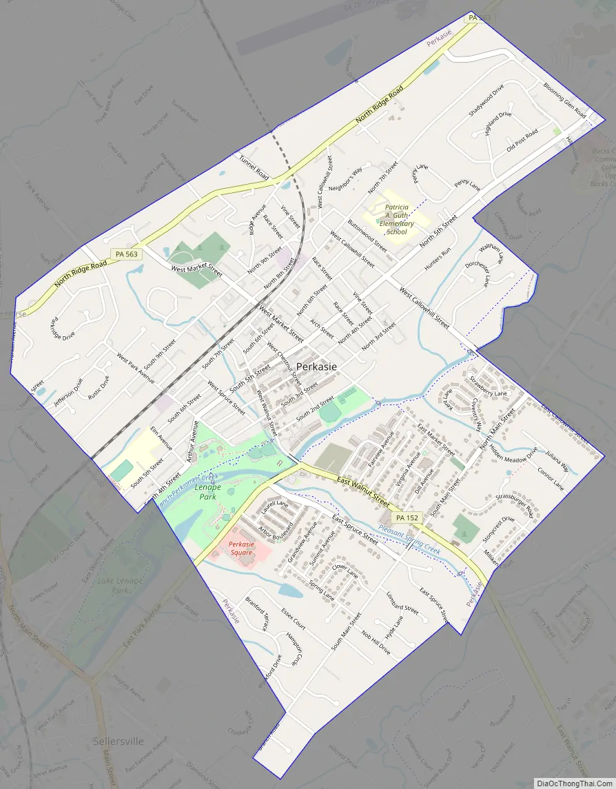
Perkasie Road Map
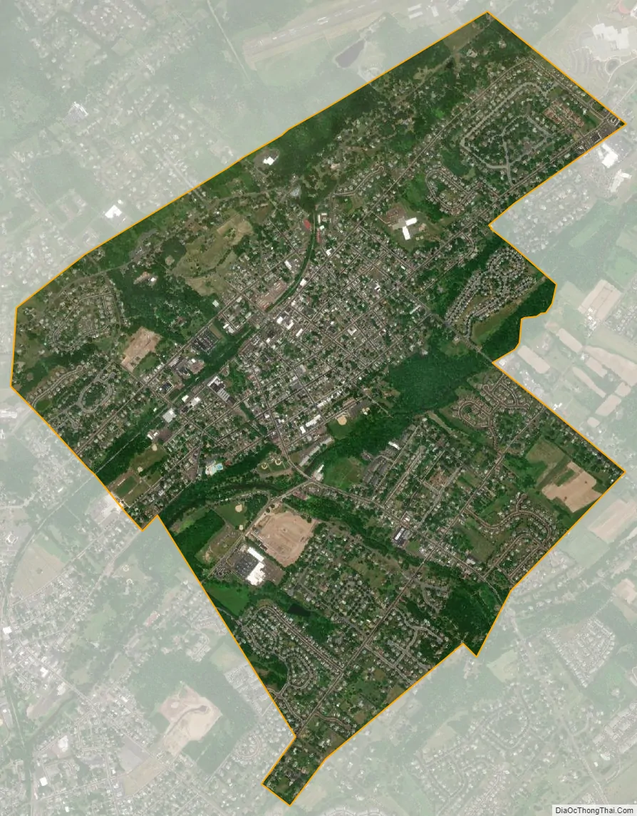
Perkasie city Satellite Map
See also
Map of Pennsylvania State and its subdivision:- Adams
- Allegheny
- Armstrong
- Beaver
- Bedford
- Berks
- Blair
- Bradford
- Bucks
- Butler
- Cambria
- Cameron
- Carbon
- Centre
- Chester
- Clarion
- Clearfield
- Clinton
- Columbia
- Crawford
- Cumberland
- Dauphin
- Delaware
- Elk
- Erie
- Fayette
- Forest
- Franklin
- Fulton
- Greene
- Huntingdon
- Indiana
- Jefferson
- Juniata
- Lackawanna
- Lancaster
- Lawrence
- Lebanon
- Lehigh
- Luzerne
- Lycoming
- Mc Kean
- Mercer
- Mifflin
- Monroe
- Montgomery
- Montour
- Northampton
- Northumberland
- Perry
- Philadelphia
- Pike
- Potter
- Schuylkill
- Snyder
- Somerset
- Sullivan
- Susquehanna
- Tioga
- Union
- Venango
- Warren
- Washington
- Wayne
- Westmoreland
- Wyoming
- York
- Alabama
- Alaska
- Arizona
- Arkansas
- California
- Colorado
- Connecticut
- Delaware
- District of Columbia
- Florida
- Georgia
- Hawaii
- Idaho
- Illinois
- Indiana
- Iowa
- Kansas
- Kentucky
- Louisiana
- Maine
- Maryland
- Massachusetts
- Michigan
- Minnesota
- Mississippi
- Missouri
- Montana
- Nebraska
- Nevada
- New Hampshire
- New Jersey
- New Mexico
- New York
- North Carolina
- North Dakota
- Ohio
- Oklahoma
- Oregon
- Pennsylvania
- Rhode Island
- South Carolina
- South Dakota
- Tennessee
- Texas
- Utah
- Vermont
- Virginia
- Washington
- West Virginia
- Wisconsin
- Wyoming