Pillow is a borough in Dauphin County, Pennsylvania, United States. The population was 291 at the 2020 census. It is part of the Harrisburg–Carlisle Metropolitan Statistical Area.
| Name: | Pillow borough |
|---|---|
| LSAD Code: | 21 |
| LSAD Description: | borough (suffix) |
| State: | Pennsylvania |
| County: | Dauphin County |
| Incorporated: | 1864 |
| Elevation: | 545 ft (166 m) |
| Total Area: | 0.49 sq mi (1.28 km²) |
| Land Area: | 0.49 sq mi (1.28 km²) |
| Water Area: | 0.00 sq mi (0.00 km²) |
| Total Population: | 292 |
| Population Density: | 592.29/sq mi (228.52/km²) |
| ZIP code: | 17080 |
| Area code: | 570 |
| FIPS code: | 4260264 |
| Website: | www.pillowpa.org |
Online Interactive Map
Click on ![]() to view map in "full screen" mode.
to view map in "full screen" mode.
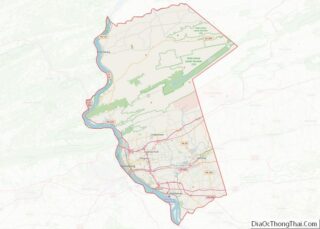
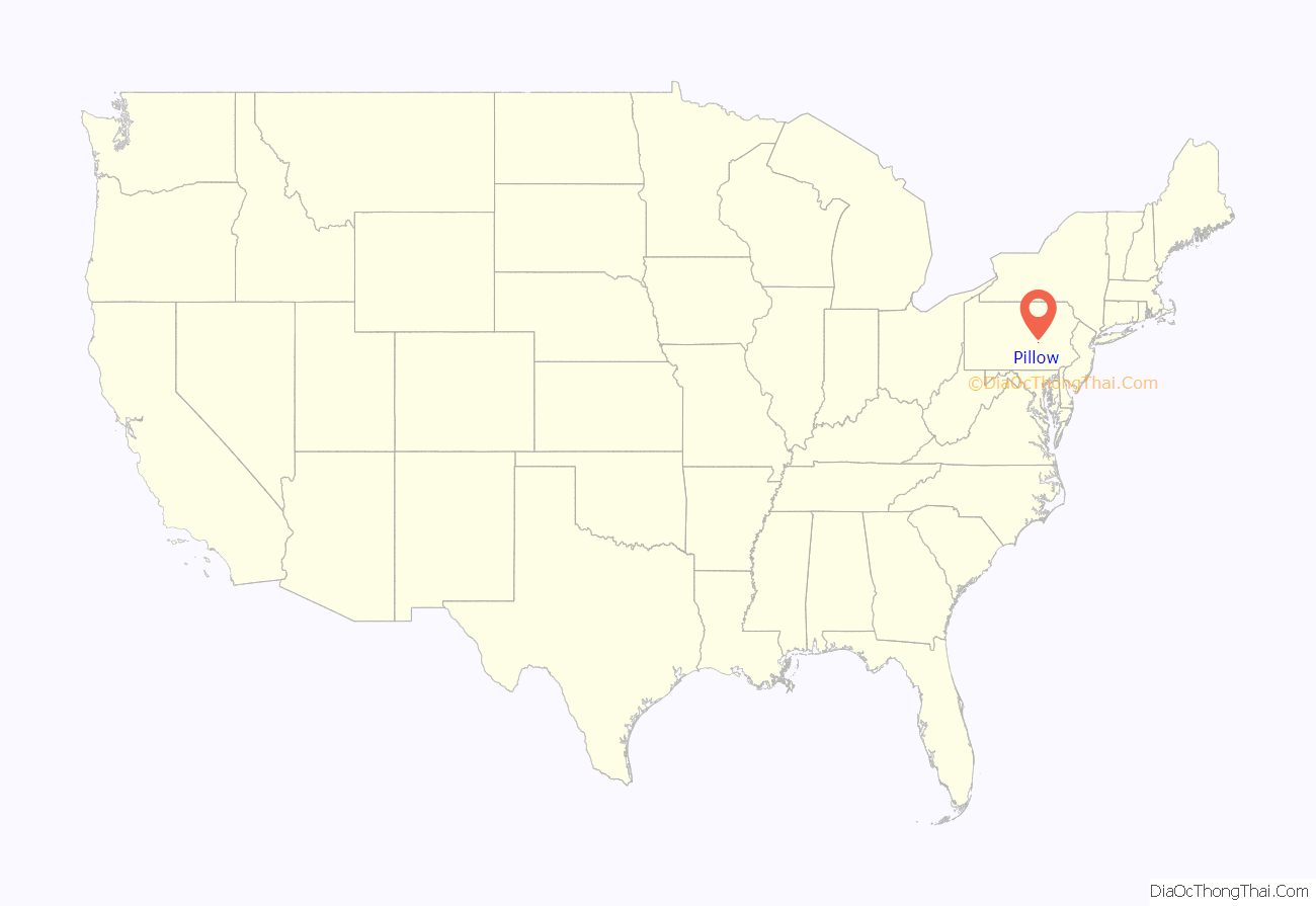
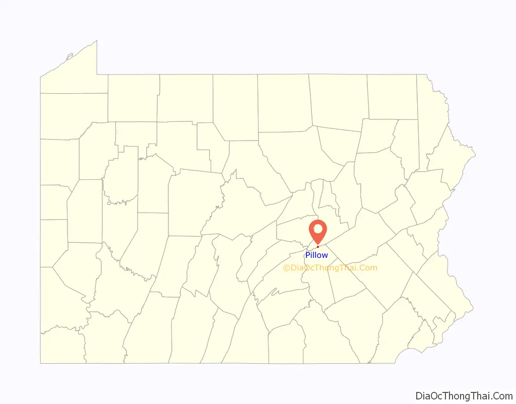
Pillow location map. Where is Pillow borough?
History
Pillow was founded in 1818 in the eastern part of Mifflin Township, Dauphin County by John Snyder, a land developer from Mercer County, as “Snydertown” (Schneiderschteddel). The borough was incorporated as “Uniontown” on April 20, 1864, becoming a separate municipality from the township.
When the town got its first post office in 1847, post offices under the name of “Snydertown” and “Uniontown” already existed. A postal official substituted the name “Pillow” after General Gideon Pillow, who was popular at the time for his victories in the Mexican–American War. Over the next hundred years, the new name slowly took hold, and on November 2, 1965, the residents voted to change the official name of the town to “Pillow”.
During the late 19th and early 20th centuries, Pillow had numerous industries, including a cotton mill, a burial vault manufacturer, a brickworks, and a potato chip factory. Today, the only major industry is the Codi case factory.
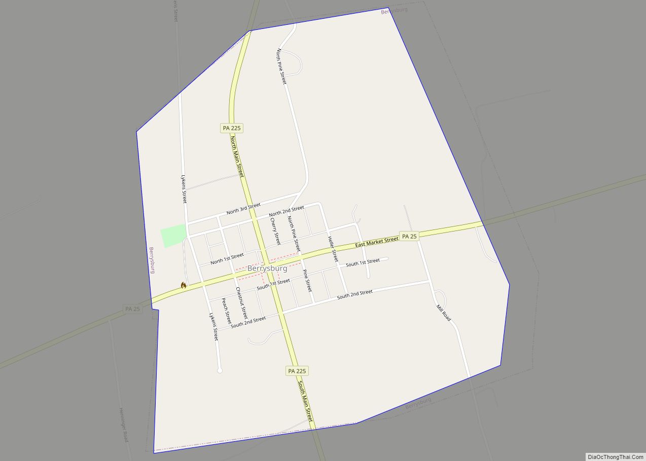
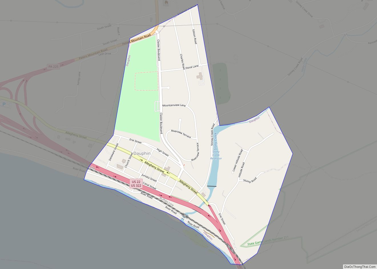
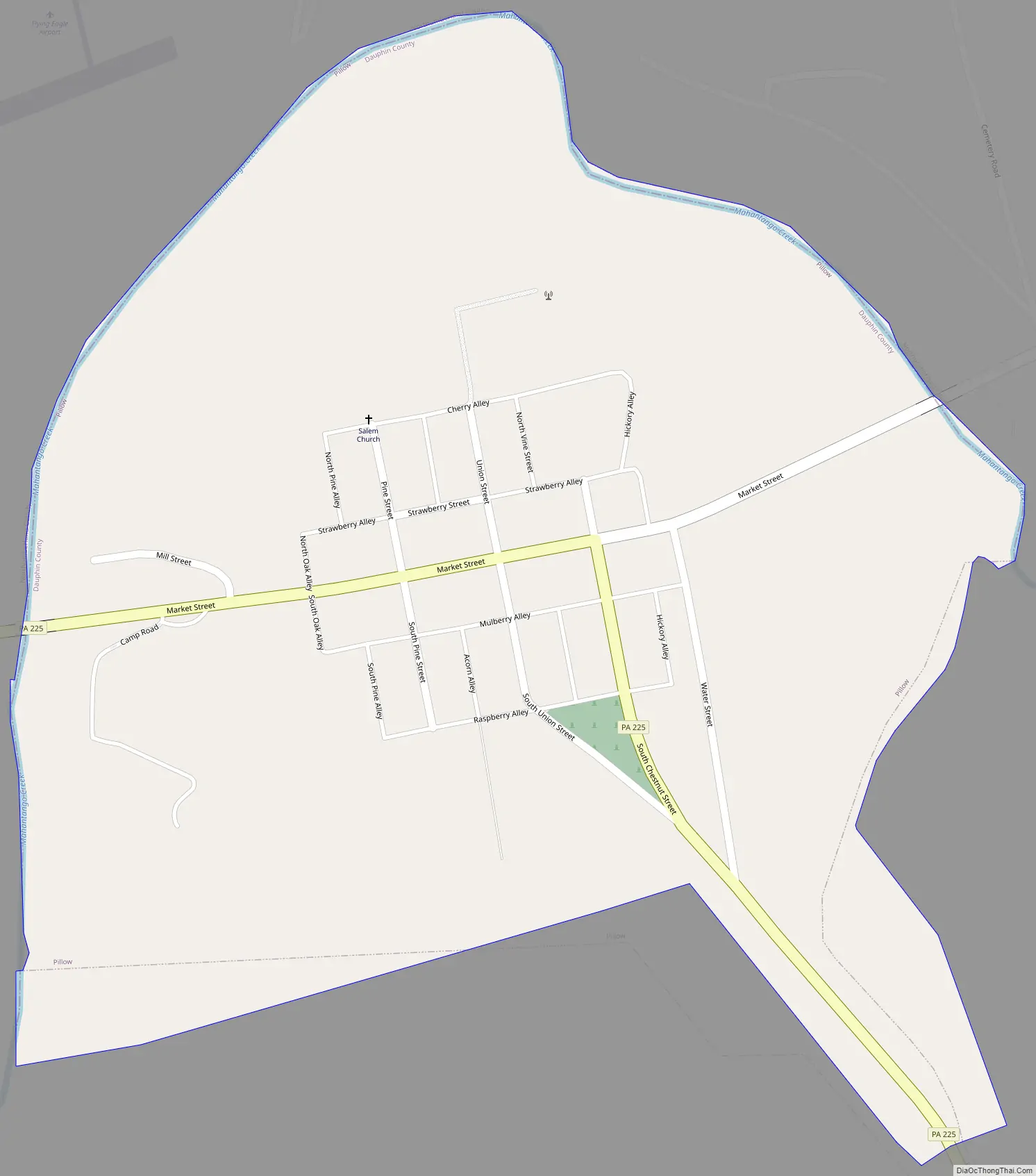
Pillow Road Map
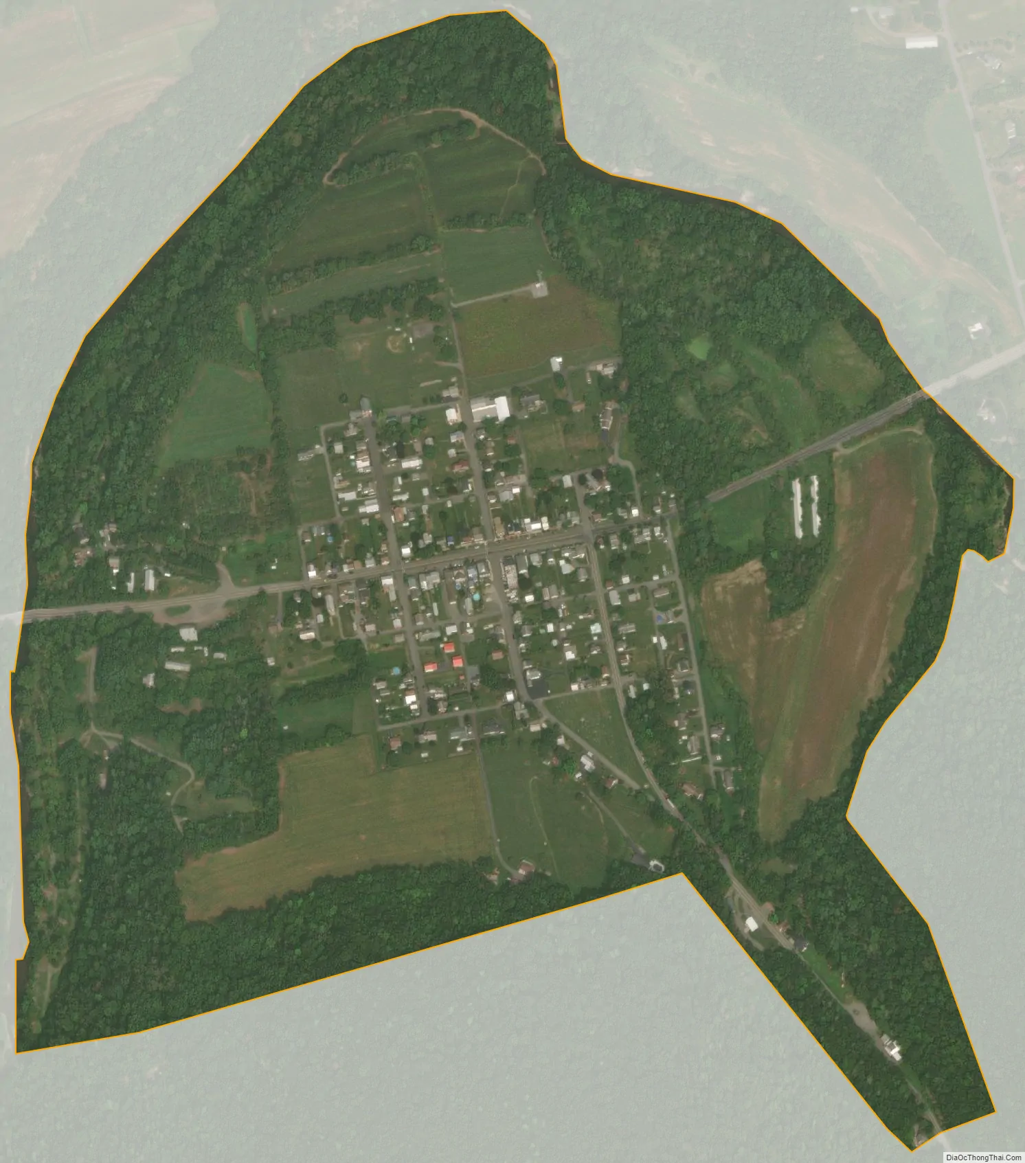
Pillow city Satellite Map
Geography
Pillow is the northernmost town in Dauphin County, located at 40°38′26″N 76°48′12″W / 40.64056°N 76.80333°W / 40.64056; -76.80333 (40.640430, -76.803464). It is bounded on the west, north, and east by Mahantango Creek, a westward-flowing tributary of the Susquehanna River, and on the south by Mahantango Mountain.
Pennsylvania Route 225 passes through the center of the borough, leading northeast 23 miles (37 km) to Shamokin and south 7 miles (11 km) to Elizabethville.
According to the United States Census Bureau, the borough has a total area of 0.49 square miles (1.28 km), all land.
See also
Map of Pennsylvania State and its subdivision:- Adams
- Allegheny
- Armstrong
- Beaver
- Bedford
- Berks
- Blair
- Bradford
- Bucks
- Butler
- Cambria
- Cameron
- Carbon
- Centre
- Chester
- Clarion
- Clearfield
- Clinton
- Columbia
- Crawford
- Cumberland
- Dauphin
- Delaware
- Elk
- Erie
- Fayette
- Forest
- Franklin
- Fulton
- Greene
- Huntingdon
- Indiana
- Jefferson
- Juniata
- Lackawanna
- Lancaster
- Lawrence
- Lebanon
- Lehigh
- Luzerne
- Lycoming
- Mc Kean
- Mercer
- Mifflin
- Monroe
- Montgomery
- Montour
- Northampton
- Northumberland
- Perry
- Philadelphia
- Pike
- Potter
- Schuylkill
- Snyder
- Somerset
- Sullivan
- Susquehanna
- Tioga
- Union
- Venango
- Warren
- Washington
- Wayne
- Westmoreland
- Wyoming
- York
- Alabama
- Alaska
- Arizona
- Arkansas
- California
- Colorado
- Connecticut
- Delaware
- District of Columbia
- Florida
- Georgia
- Hawaii
- Idaho
- Illinois
- Indiana
- Iowa
- Kansas
- Kentucky
- Louisiana
- Maine
- Maryland
- Massachusetts
- Michigan
- Minnesota
- Mississippi
- Missouri
- Montana
- Nebraska
- Nevada
- New Hampshire
- New Jersey
- New Mexico
- New York
- North Carolina
- North Dakota
- Ohio
- Oklahoma
- Oregon
- Pennsylvania
- Rhode Island
- South Carolina
- South Dakota
- Tennessee
- Texas
- Utah
- Vermont
- Virginia
- Washington
- West Virginia
- Wisconsin
- Wyoming