Port Royal is a borough in Juniata County, Pennsylvania, United States. The population was 815 at the 2020 census.
| Name: | Port Royal borough |
|---|---|
| LSAD Code: | 21 |
| LSAD Description: | borough (suffix) |
| State: | Pennsylvania |
| County: | Juniata County |
| Incorporated: | 1843 |
| Total Area: | 0.60 sq mi (1.56 km²) |
| Land Area: | 0.60 sq mi (1.56 km²) |
| Water Area: | 0.00 sq mi (0.00 km²) |
| Total Population: | 807 |
| Population Density: | 1,340.53/sq mi (517.59/km²) |
| Area code: | 717 |
| FIPS code: | 4262304 |
Online Interactive Map
Click on ![]() to view map in "full screen" mode.
to view map in "full screen" mode.
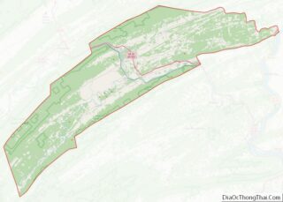
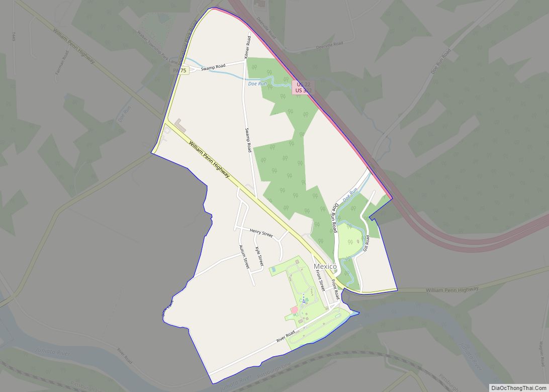
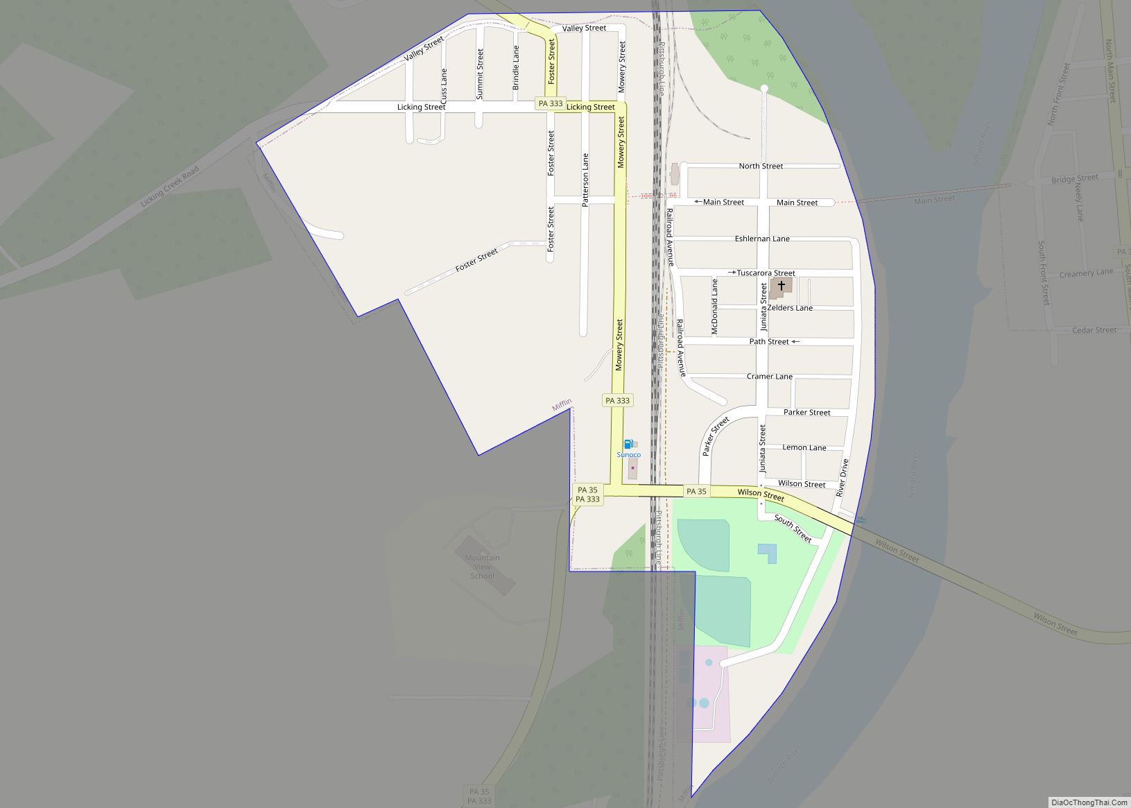
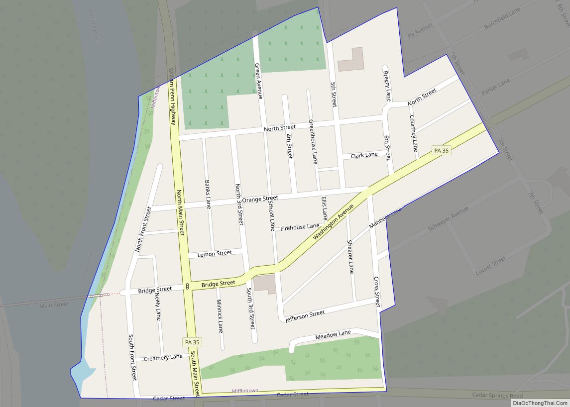
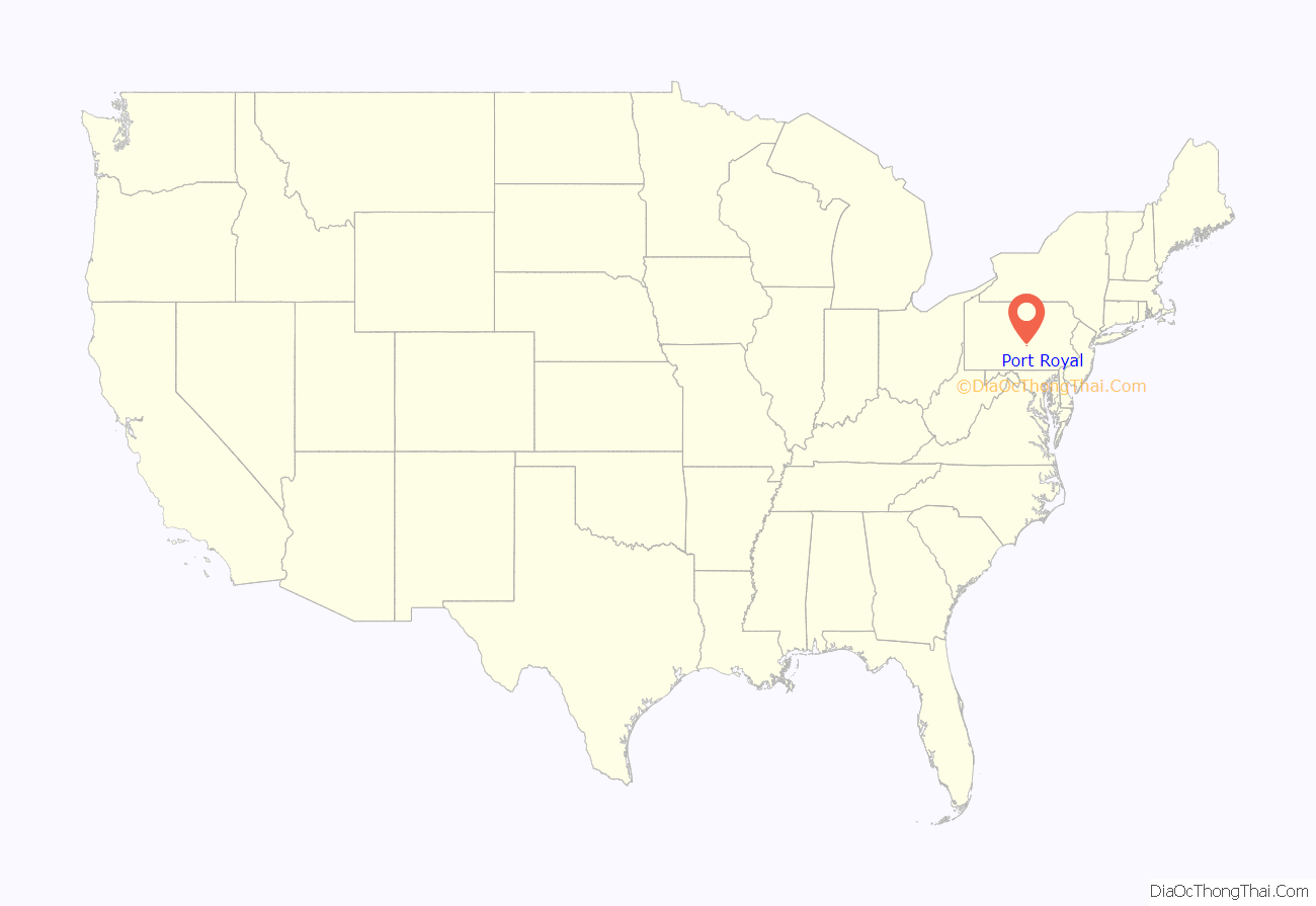
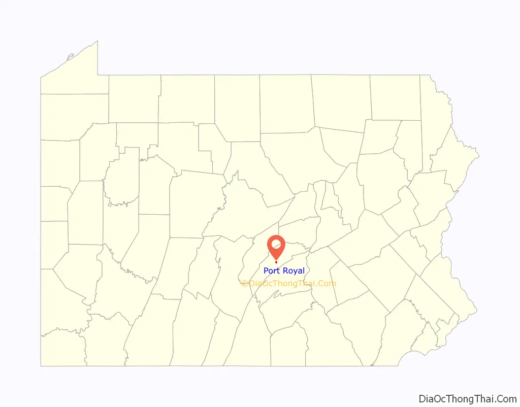
Port Royal location map. Where is Port Royal borough?
History
Port Royal used to be named Perrysville, after Commodore Oliver Hazard Perry. At the time, the Port Royal post office was located in Saint Tammany town, just across the Tuscarora Creek. However, the Pennsylvania Railroad brought increased traffic through the area and prompted a move of the Port Royal post office into Perrysville in 1847. In 1874, the borough took on the name itself and Saint Tammany became known as Old Port.
Throughout the history of Port Royal, the general population was almost centered around agriculture. The rural counties within Port Royal include Turbett, Spruce Hill and Milford Townships, otherwise known as the Tuscarora Valley.
Port Royal (and Perrysville before it) once was a stop on the old main line of the Pennsylvania Railroad. Port Royal was, in fact, one of the first towns to be linked to the Pennsylvania Railroad system, as it lay along the Lewistown-to-Harrisburg stretch of the railroad—the first leg constructed after the new railroad was chartered. Located along the Juniata River, many forms of transportation passed through the small town as a result of the river being an essential transportation “highway” before automobiles.
However, the Pennsylvania Railroad station no longer exists. Port Royal was also the northern terminus of the Tuscarora Valley Railroad, a narrow-gauge railroad serving southern Juniata and northern Franklin counties. The railroad was decommissioned in the 1930s.
From the PRR station during the Gettysburg Campaign of the Civil War, Union scout Stephen W. Pomeroy telegraphed the vital news to Governor Andrew Curtin that Robert E. Lee was concentrating the Army of Northern Virginia at Gettysburg. This was how state officials learned of this vital intelligence, which Pomeroy had carried for nearly sixty miles from near Lee’s headquarters in Chambersburg. He had sewn the message into his belt strap of his pants.
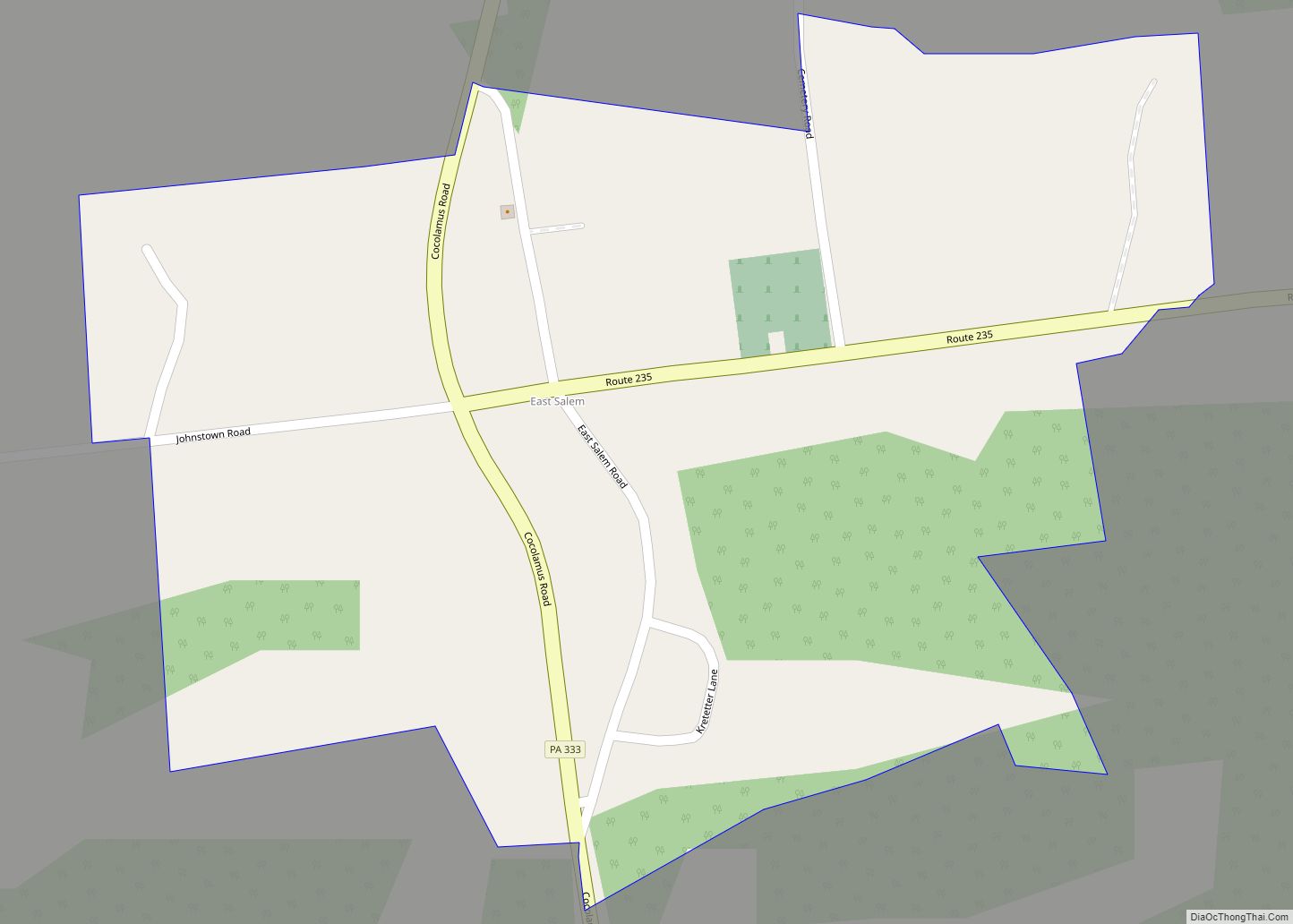
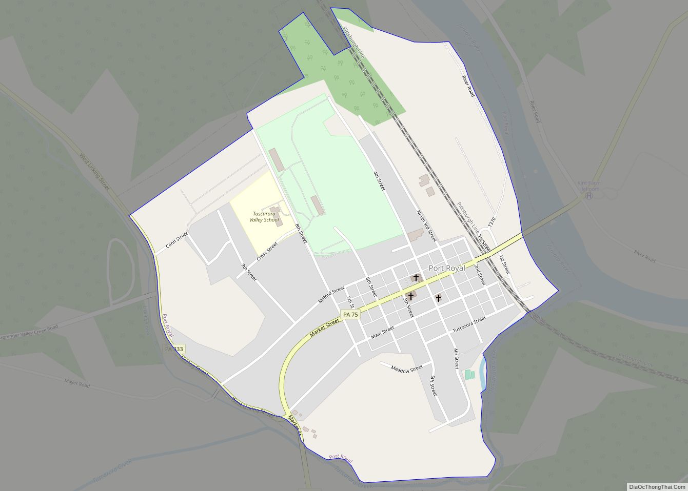
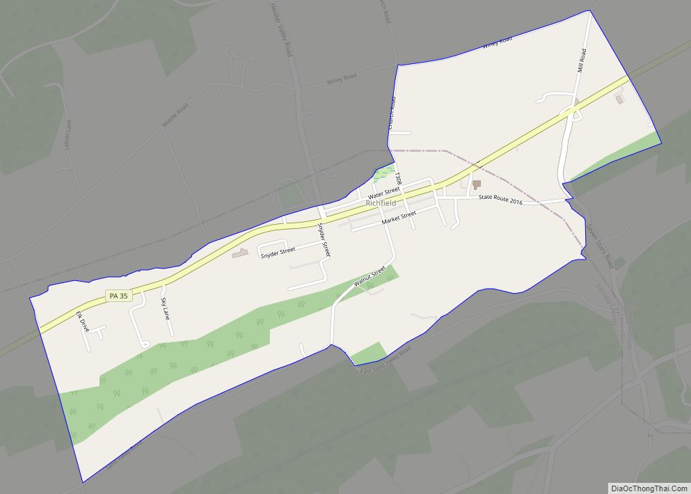
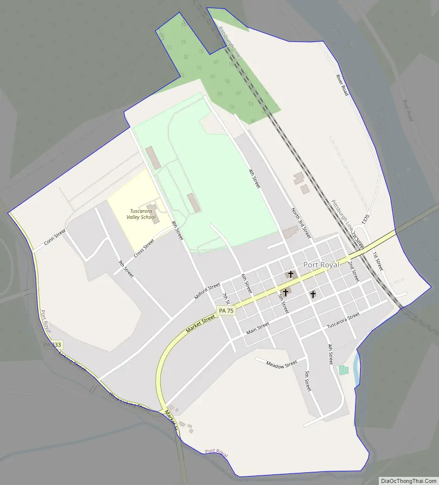
Port Royal Road Map
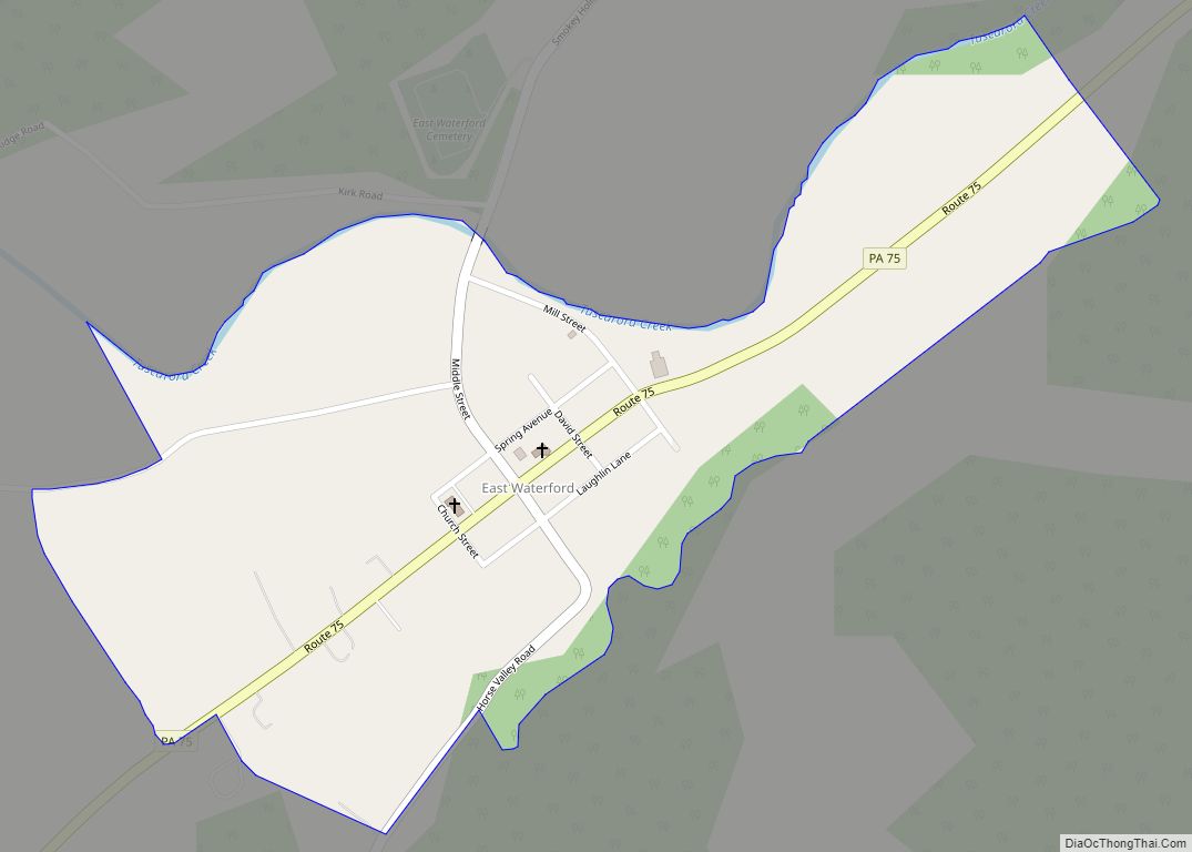
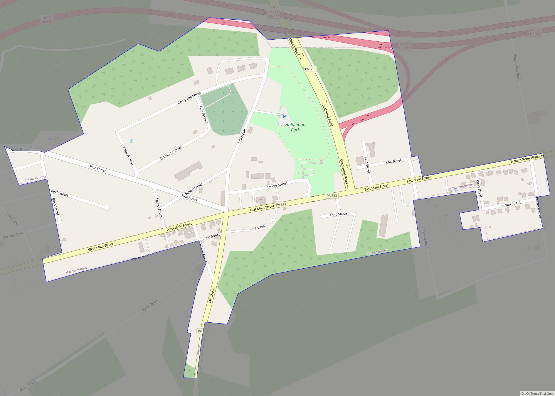
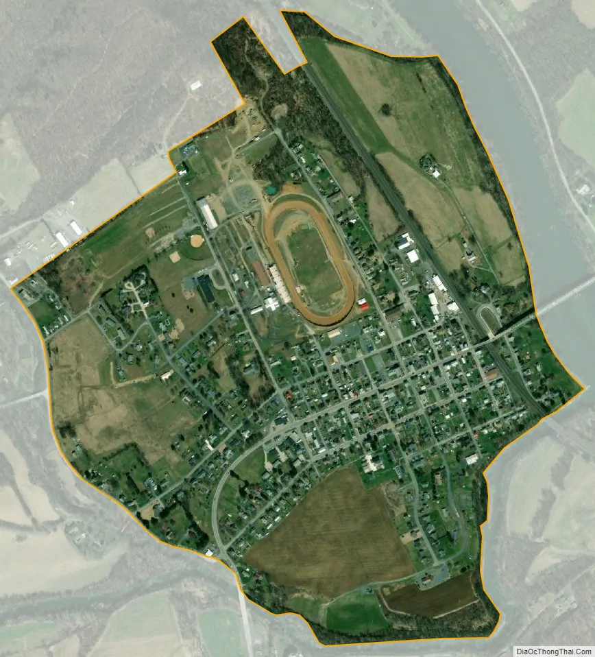
Port Royal city Satellite Map
Geography
Port Royal is located at 40°32′0″N 77°23′15″W / 40.53333°N 77.38750°W / 40.53333; -77.38750 (40.533257, -77.387619).
Port Royal is located 40 miles northwest of Harrisburg. It has been depicted as the “halfway” mark between the Harrisburg capitol city and State College, home of Penn State.
According to the United States Census Bureau, the borough has a total area of 0.7 square miles (1.8 km), of which 0.7 square miles (1.8 km) is land and 0.04 square miles (0.10 km) (4.35%) is water.
See also
Map of Pennsylvania State and its subdivision:- Adams
- Allegheny
- Armstrong
- Beaver
- Bedford
- Berks
- Blair
- Bradford
- Bucks
- Butler
- Cambria
- Cameron
- Carbon
- Centre
- Chester
- Clarion
- Clearfield
- Clinton
- Columbia
- Crawford
- Cumberland
- Dauphin
- Delaware
- Elk
- Erie
- Fayette
- Forest
- Franklin
- Fulton
- Greene
- Huntingdon
- Indiana
- Jefferson
- Juniata
- Lackawanna
- Lancaster
- Lawrence
- Lebanon
- Lehigh
- Luzerne
- Lycoming
- Mc Kean
- Mercer
- Mifflin
- Monroe
- Montgomery
- Montour
- Northampton
- Northumberland
- Perry
- Philadelphia
- Pike
- Potter
- Schuylkill
- Snyder
- Somerset
- Sullivan
- Susquehanna
- Tioga
- Union
- Venango
- Warren
- Washington
- Wayne
- Westmoreland
- Wyoming
- York
- Alabama
- Alaska
- Arizona
- Arkansas
- California
- Colorado
- Connecticut
- Delaware
- District of Columbia
- Florida
- Georgia
- Hawaii
- Idaho
- Illinois
- Indiana
- Iowa
- Kansas
- Kentucky
- Louisiana
- Maine
- Maryland
- Massachusetts
- Michigan
- Minnesota
- Mississippi
- Missouri
- Montana
- Nebraska
- Nevada
- New Hampshire
- New Jersey
- New Mexico
- New York
- North Carolina
- North Dakota
- Ohio
- Oklahoma
- Oregon
- Pennsylvania
- Rhode Island
- South Carolina
- South Dakota
- Tennessee
- Texas
- Utah
- Vermont
- Virginia
- Washington
- West Virginia
- Wisconsin
- Wyoming