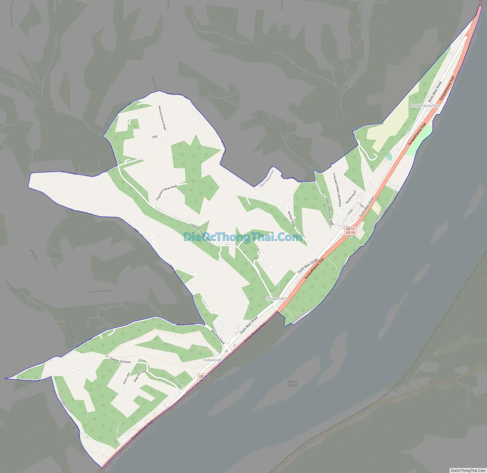
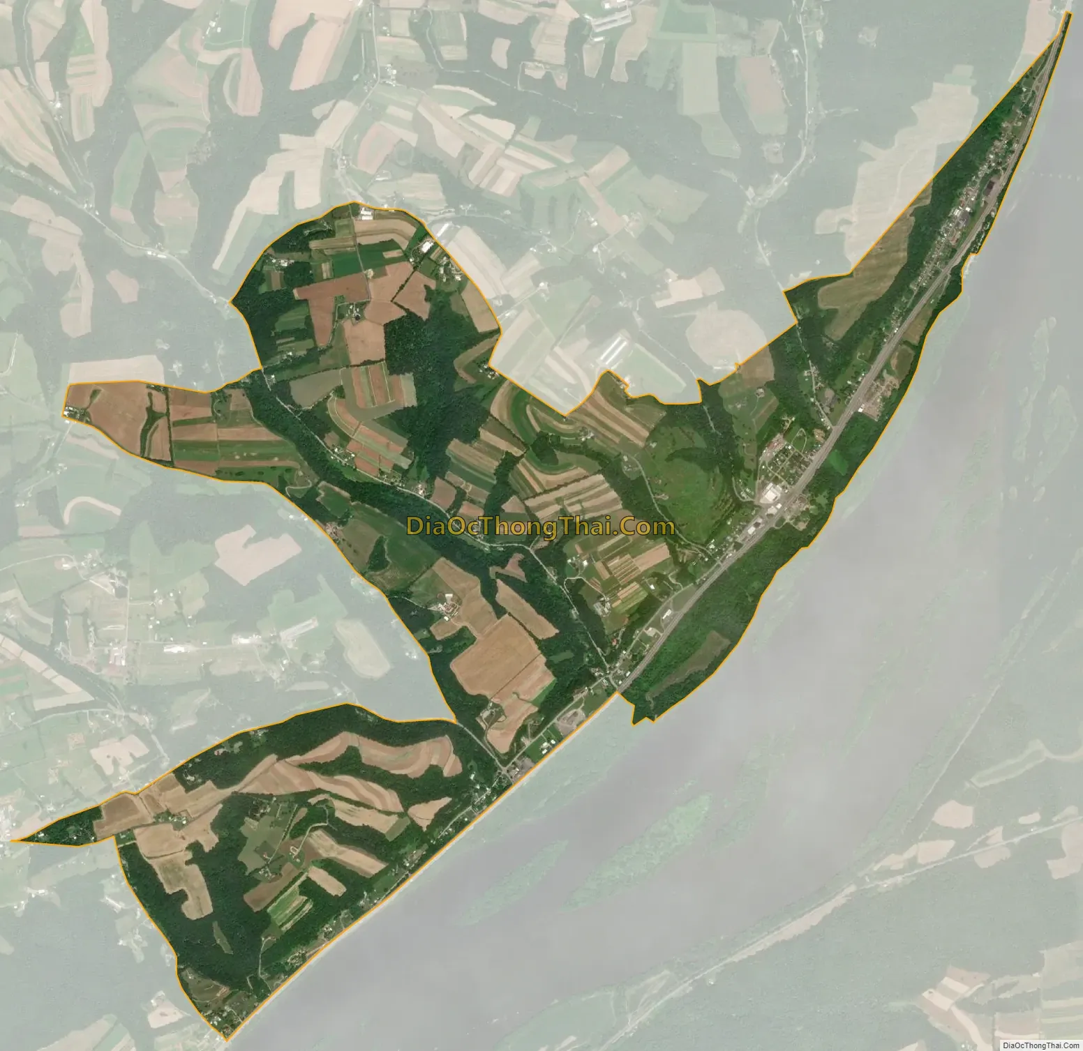
Port Trevorton is a census-designated place (CDP) in Snyder County, Pennsylvania, United States. The population was 451 at the 2000 census.
| Name: | Port Trevorton CDP |
|---|---|
| LSAD Code: | 57 |
| LSAD Description: | CDP (suffix) |
| State: | Pennsylvania |
| County: | Snyder County |
| Total Area: | 3.39 sq mi (8.78 km²) |
| Land Area: | 3.38 sq mi (8.76 km²) |
| Water Area: | 0.01 sq mi (0.02 km²) |
| Total Population: | 734 |
| Population Density: | 217.10/sq mi (83.83/km²) |
| ZIP code: | 17864 |
| Area code: | 570 and 272 |
| FIPS code: | 4262312 |
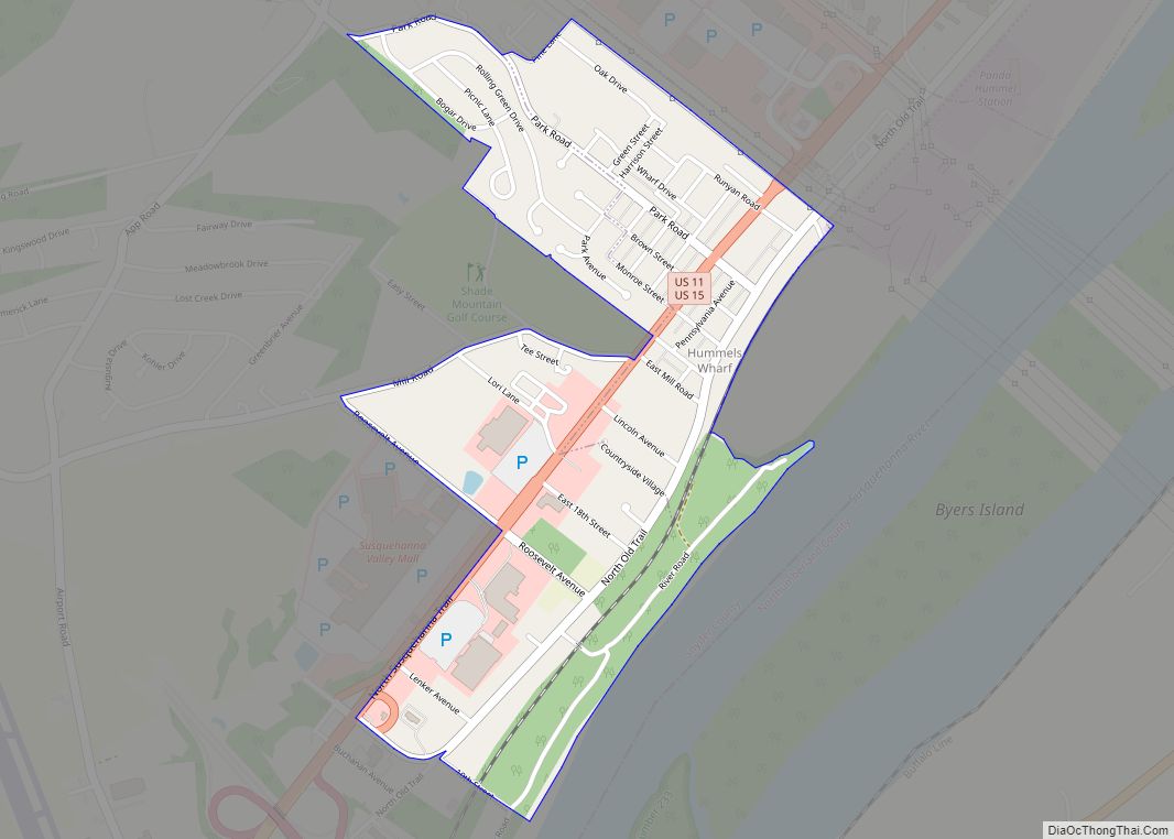
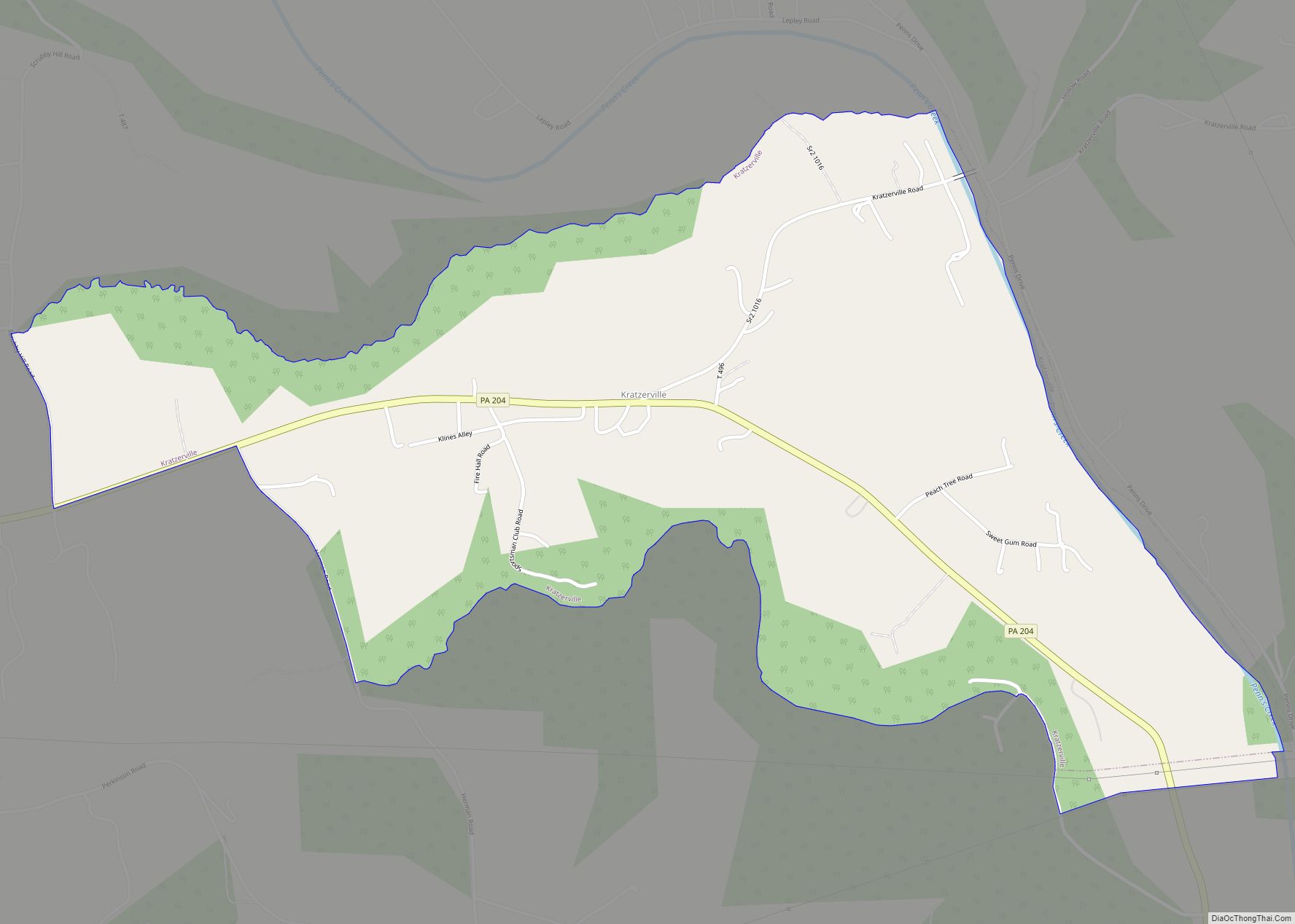
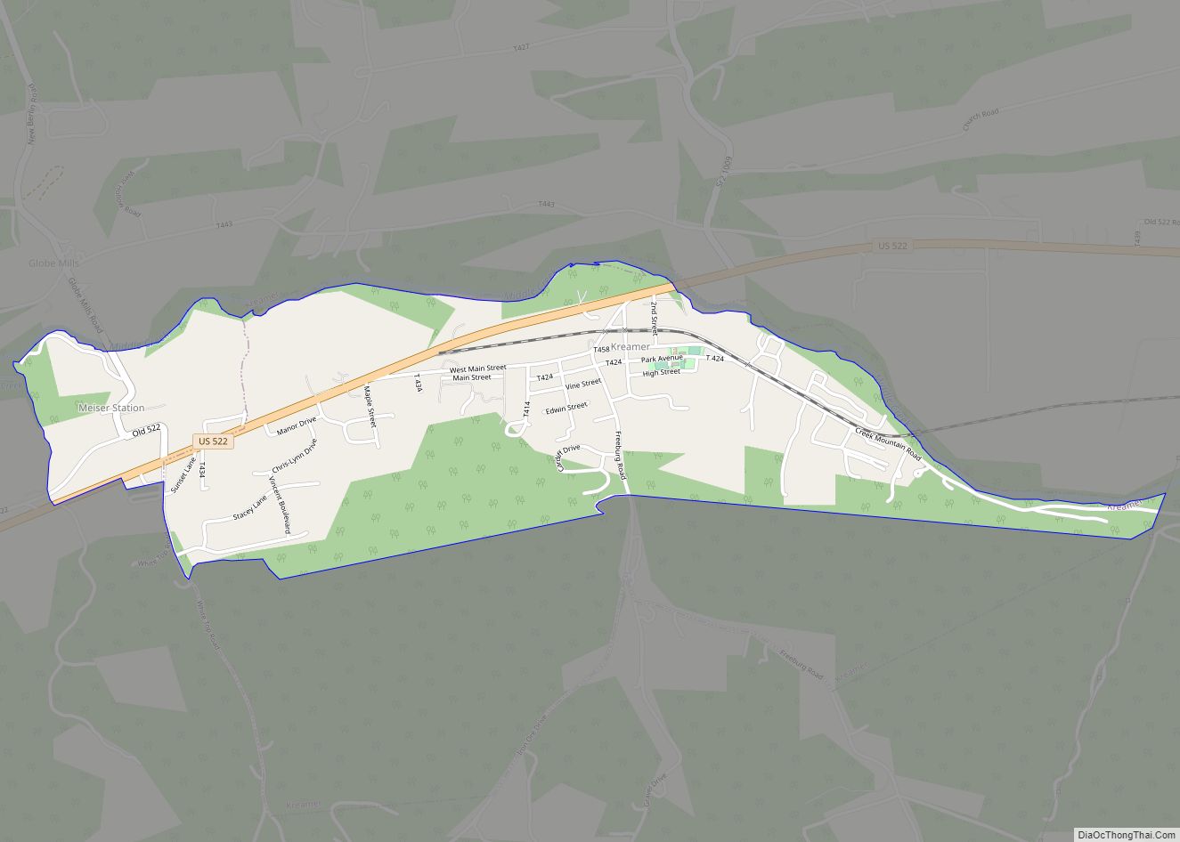
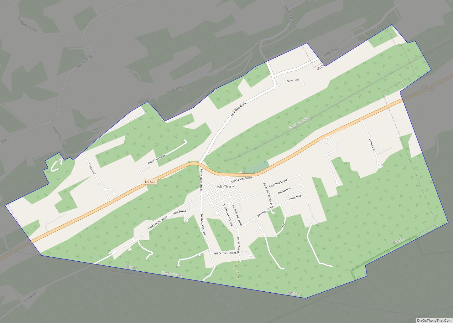
Online Interactive Map
Click on ![]() to view map in "full screen" mode.
to view map in "full screen" mode.
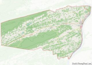
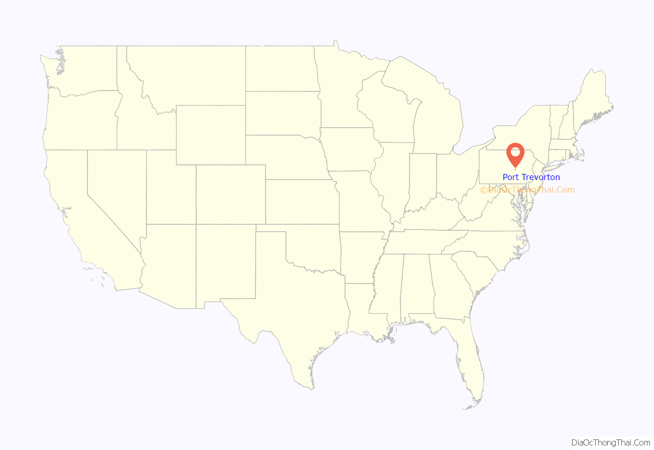
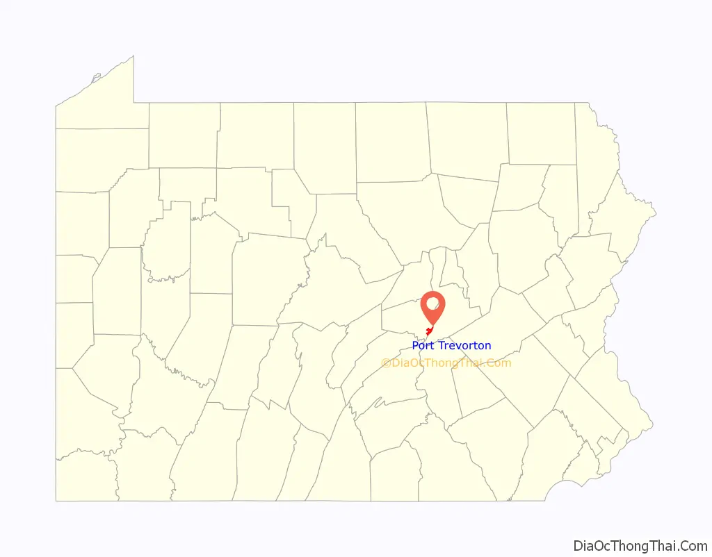
Port Trevorton location map. Where is Port Trevorton CDP?
History
The name of the town comes from its days as a coal port on the Pennsylvania Canal. Coal from the mines of the Zerbe Valley, near Trevorton was shipped to the town via the Trevorton and Susquehanna Railroad, which was completed in 1855, crossing the Susquehanna River on a long bridge from Herndon to Port Trevorton. A canal basin was built for coal loading from the railcars. However, a new route was built to the coal mines via Shamokin, and the bridge was removed in 1870. As the fortunes of the canal declined, so too did those of the town.
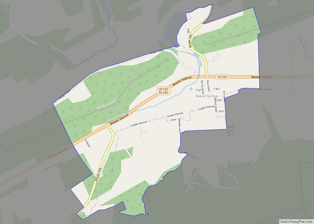
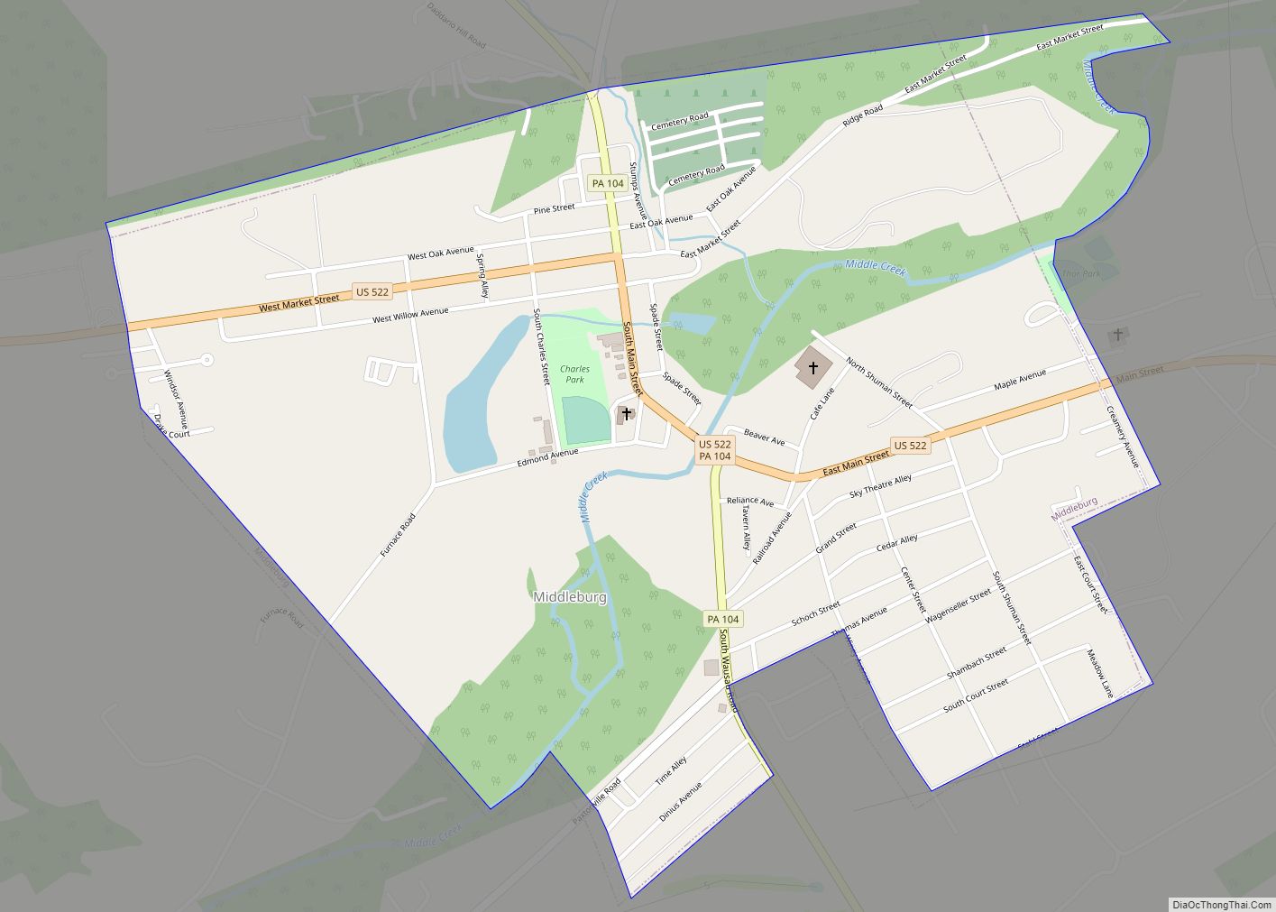
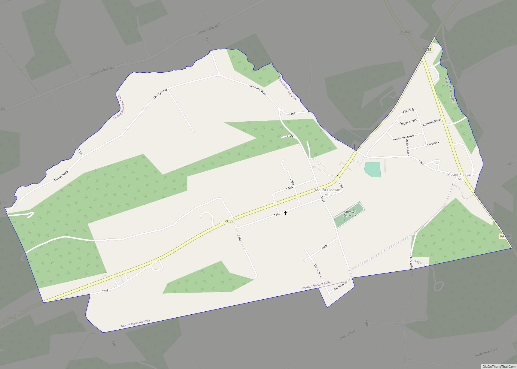
Port Trevorton Road Map
Port Trevorton city Satellite Map
Geography
Port Trevorton is located at 40°41′11″N 76°53′13″W / 40.68639°N 76.88694°W / 40.68639; -76.88694 (40.686397, -76.886956).
According to the United States Census Bureau, the CDP has a total area of 2.8 square miles (7.3 km), all land.
See also
Map of Pennsylvania State and its subdivision:- Adams
- Allegheny
- Armstrong
- Beaver
- Bedford
- Berks
- Blair
- Bradford
- Bucks
- Butler
- Cambria
- Cameron
- Carbon
- Centre
- Chester
- Clarion
- Clearfield
- Clinton
- Columbia
- Crawford
- Cumberland
- Dauphin
- Delaware
- Elk
- Erie
- Fayette
- Forest
- Franklin
- Fulton
- Greene
- Huntingdon
- Indiana
- Jefferson
- Juniata
- Lackawanna
- Lancaster
- Lawrence
- Lebanon
- Lehigh
- Luzerne
- Lycoming
- Mc Kean
- Mercer
- Mifflin
- Monroe
- Montgomery
- Montour
- Northampton
- Northumberland
- Perry
- Philadelphia
- Pike
- Potter
- Schuylkill
- Snyder
- Somerset
- Sullivan
- Susquehanna
- Tioga
- Union
- Venango
- Warren
- Washington
- Wayne
- Westmoreland
- Wyoming
- York
- Alabama
- Alaska
- Arizona
- Arkansas
- California
- Colorado
- Connecticut
- Delaware
- District of Columbia
- Florida
- Georgia
- Hawaii
- Idaho
- Illinois
- Indiana
- Iowa
- Kansas
- Kentucky
- Louisiana
- Maine
- Maryland
- Massachusetts
- Michigan
- Minnesota
- Mississippi
- Missouri
- Montana
- Nebraska
- Nevada
- New Hampshire
- New Jersey
- New Mexico
- New York
- North Carolina
- North Dakota
- Ohio
- Oklahoma
- Oregon
- Pennsylvania
- Rhode Island
- South Carolina
- South Dakota
- Tennessee
- Texas
- Utah
- Vermont
- Virginia
- Washington
- West Virginia
- Wisconsin
- Wyoming