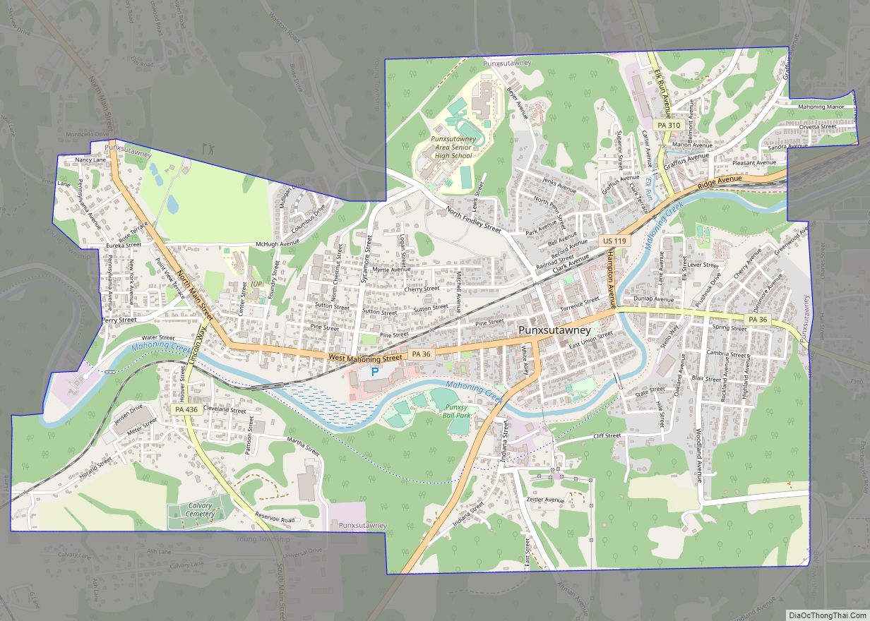
Punxsutawney (/ˌpʌŋksəˈtɔːni/; Lenape: Punkwsutènay) is a borough in southern Jefferson County, Pennsylvania, United States. Punxsutawney is known globally for its annual Groundhog Day celebration held each February 2, during which thousands of attendees and international media outlets visit the town for an annual weather prediction by the groundhog Punxsutawney Phil. The actual prediction location, Gobbler’s Knob, is in adjacent Young Township.
The borough, located 84 miles (135 km) northeast of Pittsburgh and 50 miles (80 km) northwest of Altoona, was incorporated in 1850. With a population of 5,962 in 2010, Punxsutawney is the largest incorporated municipality in Jefferson County.
| Name: | Punxsutawney borough |
|---|---|
| LSAD Code: | 21 |
| LSAD Description: | borough (suffix) |
| State: | Pennsylvania |
| County: | Jefferson County |
| Incorporated: | 1850 |
| Elevation: | 1,230 ft (370 m) |
| Total Area: | 3.43 sq mi (8.88 km²) |
| Land Area: | 3.37 sq mi (8.72 km²) |
| Water Area: | 0.06 sq mi (0.17 km²) |
| Total Population: | 5,769 |
| Population Density: | 1,713.90/sq mi (661.71/km²) |
| Area code: | 814#& |
| FIPS code: | 4262920 |
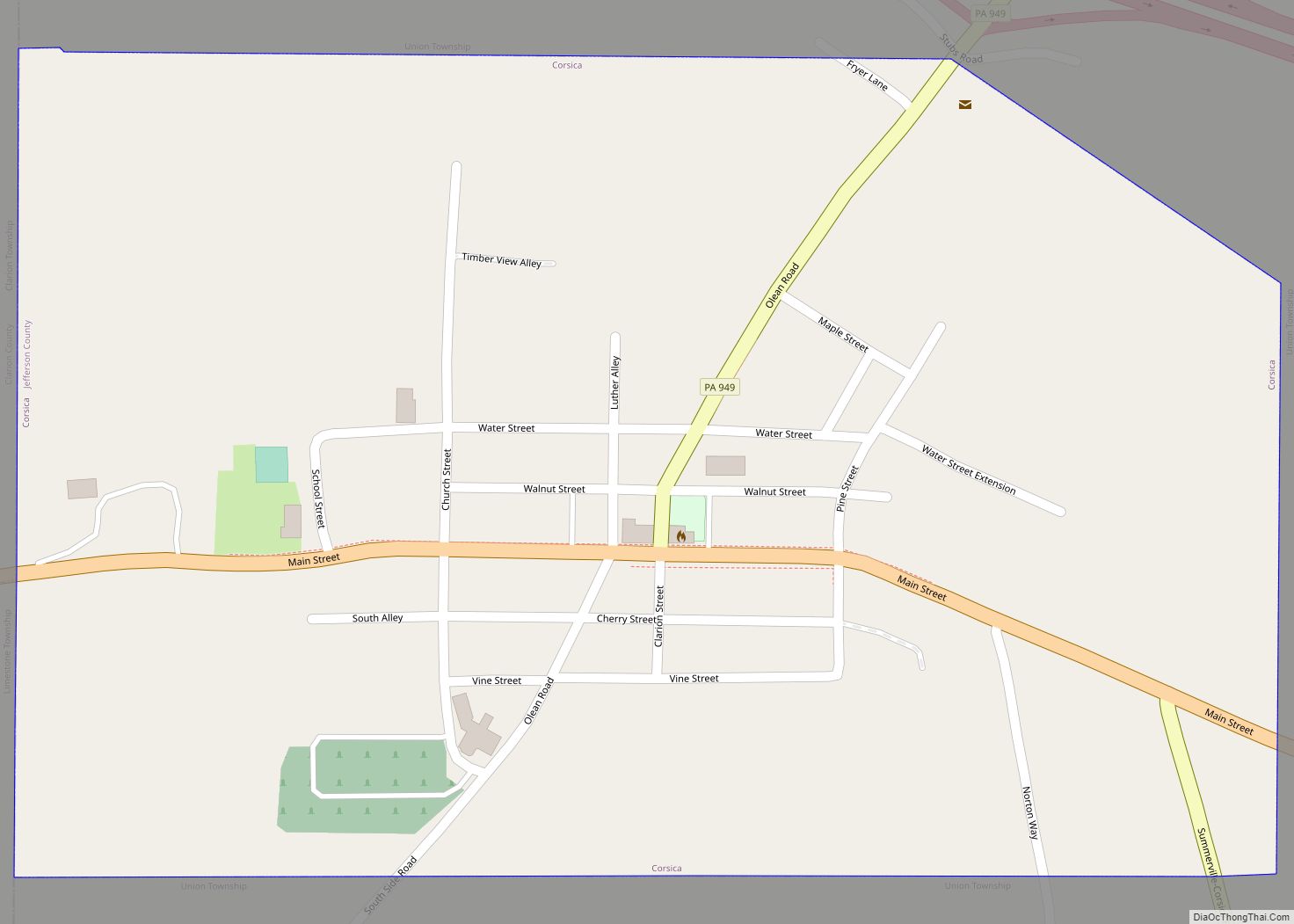
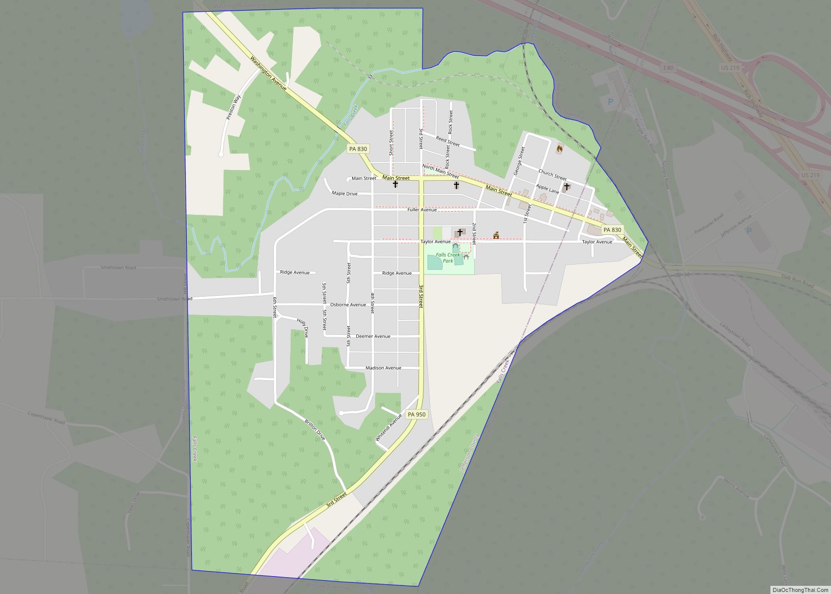
Online Interactive Map
Click on ![]() to view map in "full screen" mode.
to view map in "full screen" mode.
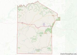
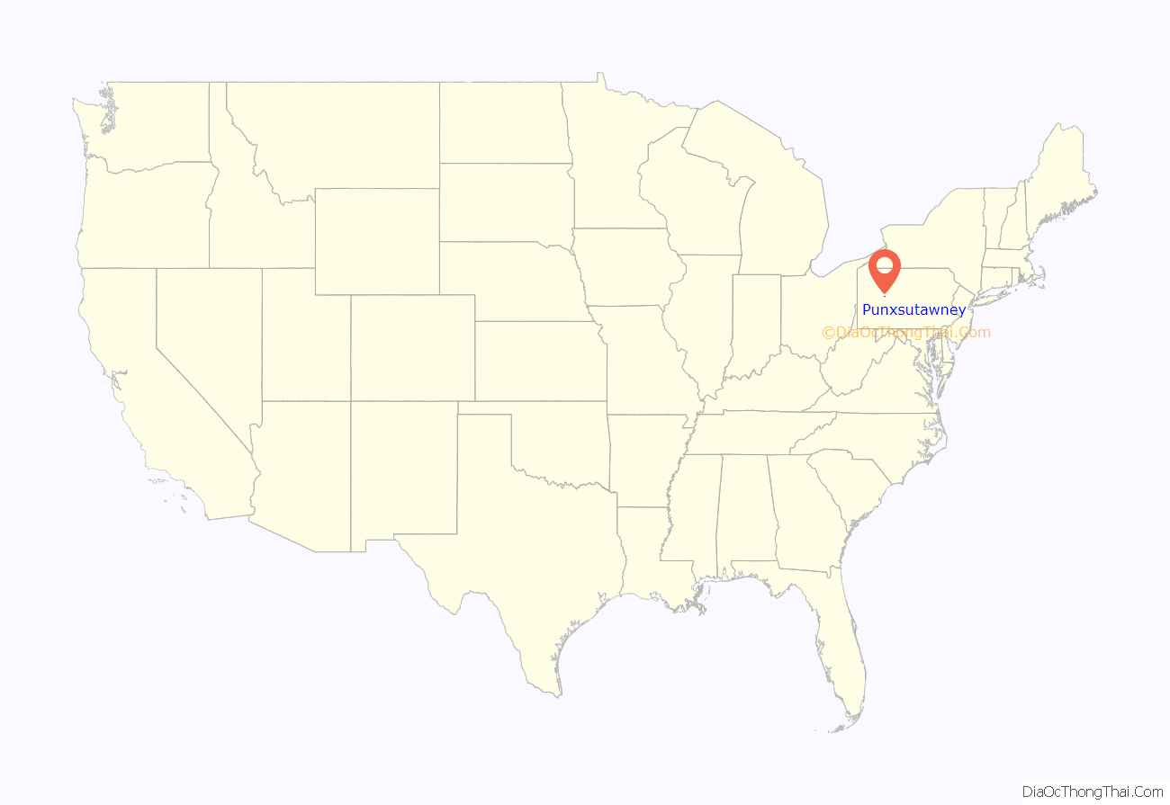
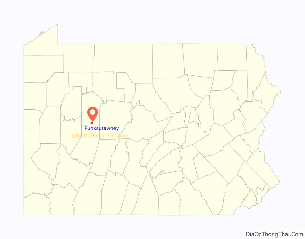
Punxsutawney location map. Where is Punxsutawney borough?
History
Shawnee wigwam villages once occupied this site on the Mahoning Creek. The first settlement that included non-indigenous people was in 1772, when Reverend John Ettwein, a Moravian Church missionary, arrived with a band of 241 Christianized Delaware Indians. Swarms of gnats plagued early settlers and their livestock for years, and are blamed for Ettwein’s failure to establish a permanent settlement there. The clouds of biting gnats eventually drove the Indians away.
The Indians called the insects ponkies (living dust and ashes), and called their village Ponkis Utenink (land of the ponkies), from which the present name Punxsutawney evolved. One legend about the origin of the term ponkies concerned an old Indian sorcerer-hermit who was said to have long terrorized Indians in the region. Eventually he was killed, his body burned, and his ashes were cast to the wind. According to the story, the ashes were transformed into minute living things that infested the swamp land. Another story about the source of the term asserted that the Indians compared the insect bites to burns caused by sparks or hot ashes.
The area was originally settled by the Lenape Indian tribe, and a more definitive source says the name Punxsutawney derives from a Native name in the Lenape language, Unami: Punkwsutènay, which translates to “town of the sandflies” or “town of the mosquitoes” (punkwës– ‘mosquito’ + –utènay ‘town’). Alternatively, the name is said to come from another Unami term, Put’schisk’tey, which means “poison vine.” The Shawnee and Delaware left Pennsylvania and had settled in Ohio by the end of the American Revolution.
The Pennsylvania Department of Transportation (PennDOT) Keystone Marker lists that Punxsutawney was founded in 1818. In 1840 it was reported that Punxsutawney was a village of about 15 or 20 dwellings. Settlers drawn by lumbering and coal mining eventually drained the swamps and exterminated the insects. The Borough of Punxsutawney was incorporated in 1850, and had a population of 256 at that time.
In 1907, Punxsutawney and Claysville boroughs were consolidated and incorporated as Greater Punxsutawney, resulting in a combined population of 9,058 in 1910. A high-grade bituminous soft coal was mined in the surrounding region. Shortly after 1850, mining was being supplanted by factories which included brickworks, glassworks, tanneries, foundries, ironworks, machine shops, and wood planing, flour, feed, and silk mills. By the 1930s these were mostly gone, and townspeople were dependent largely on the Baltimore & Ohio Railroad repair shops north of town, and a meat packing plant, in addition to the remaining coal mining and batteries of beehive coke ovens.
In 1900, 6,746 people lived in Punxsutawney before the consolidation with Claysville. After consolidation, the population in 1910 was 9,058; in 1920, 10,311; in 1930, 9,266; prewar in 1940, 9,482; and postwar in 1950, 8,969 people lived there. The population was 5,962 at the 2010 census.
A groundhog known as Punxsutawney Phil is kept in nearby Young Township, and is said to predict the weather annually on Groundhog Day, February 2. The event provided the premise for the 1993 film Groundhog Day, although nearly all of the film was shot in Woodstock, Illinois.
The T. M. Kurtz House, Jefferson Theater, Christian Miller House, and United States Post Office-Punxsutawney are listed on the National Register of Historic Places.
Punxsutawney Road Map
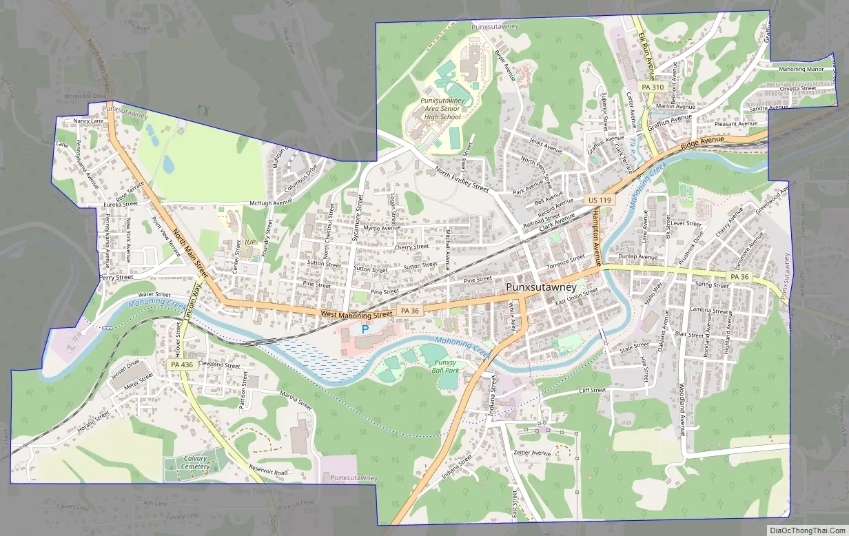
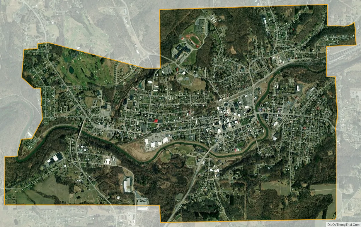
Punxsutawney city Satellite Map
Geography
Punxsutawney is located at 40°56′44″N 78°58′31″W / 40.94556°N 78.97528°W / 40.94556; -78.97528 (40.945454, -78.975175), roughly 80 miles northeast of Pittsburgh and 150 miles southeast of Erie. According to the U.S. Census Bureau, the borough has a total area of 3.4 square miles (8.8 km). One small river, Mahoning Creek, winds through the town. It is bordered on the north, west, and south by Young Township, and on the east by Bell Township.
See also
Map of Pennsylvania State and its subdivision:- Adams
- Allegheny
- Armstrong
- Beaver
- Bedford
- Berks
- Blair
- Bradford
- Bucks
- Butler
- Cambria
- Cameron
- Carbon
- Centre
- Chester
- Clarion
- Clearfield
- Clinton
- Columbia
- Crawford
- Cumberland
- Dauphin
- Delaware
- Elk
- Erie
- Fayette
- Forest
- Franklin
- Fulton
- Greene
- Huntingdon
- Indiana
- Jefferson
- Juniata
- Lackawanna
- Lancaster
- Lawrence
- Lebanon
- Lehigh
- Luzerne
- Lycoming
- Mc Kean
- Mercer
- Mifflin
- Monroe
- Montgomery
- Montour
- Northampton
- Northumberland
- Perry
- Philadelphia
- Pike
- Potter
- Schuylkill
- Snyder
- Somerset
- Sullivan
- Susquehanna
- Tioga
- Union
- Venango
- Warren
- Washington
- Wayne
- Westmoreland
- Wyoming
- York
- Alabama
- Alaska
- Arizona
- Arkansas
- California
- Colorado
- Connecticut
- Delaware
- District of Columbia
- Florida
- Georgia
- Hawaii
- Idaho
- Illinois
- Indiana
- Iowa
- Kansas
- Kentucky
- Louisiana
- Maine
- Maryland
- Massachusetts
- Michigan
- Minnesota
- Mississippi
- Missouri
- Montana
- Nebraska
- Nevada
- New Hampshire
- New Jersey
- New Mexico
- New York
- North Carolina
- North Dakota
- Ohio
- Oklahoma
- Oregon
- Pennsylvania
- Rhode Island
- South Carolina
- South Dakota
- Tennessee
- Texas
- Utah
- Vermont
- Virginia
- Washington
- West Virginia
- Wisconsin
- Wyoming