Rebersburg is an unincorporated community and census-designated place (CDP) in Centre County, Pennsylvania, United States. Rebersburg is part of the State College, Pennsylvania Metropolitan Statistical Area. The official town Mayor is Mr. Matthew S. Dunlap(Republican). The mayor was instrumental in securing funds for the purchase of Engine-Rescue 19 as well as funding for the purchase of a new road maintenance truck. Mayor Dunlap also chaired the rural water board which assisted in the township being granted funding for a water filter system at the water reservoir. The population was 494 at the 2010 census and includes many Amish in the area.
| Name: | Rebersburg CDP |
|---|---|
| LSAD Code: | 57 |
| LSAD Description: | CDP (suffix) |
| State: | Pennsylvania |
| County: | Centre County |
| Elevation: | 1,290 ft (390 m) |
| Total Area: | 1.36 sq mi (3.52 km²) |
| Land Area: | 1.36 sq mi (3.52 km²) |
| Water Area: | 0.0 sq mi (0.0 km²) |
| Total Population: | 494 |
| Population Density: | 363/sq mi (140.3/km²) |
| ZIP code: | 16872 |
| Area code: | 814 |
| FIPS code: | 4263688 |
Online Interactive Map
Click on ![]() to view map in "full screen" mode.
to view map in "full screen" mode.
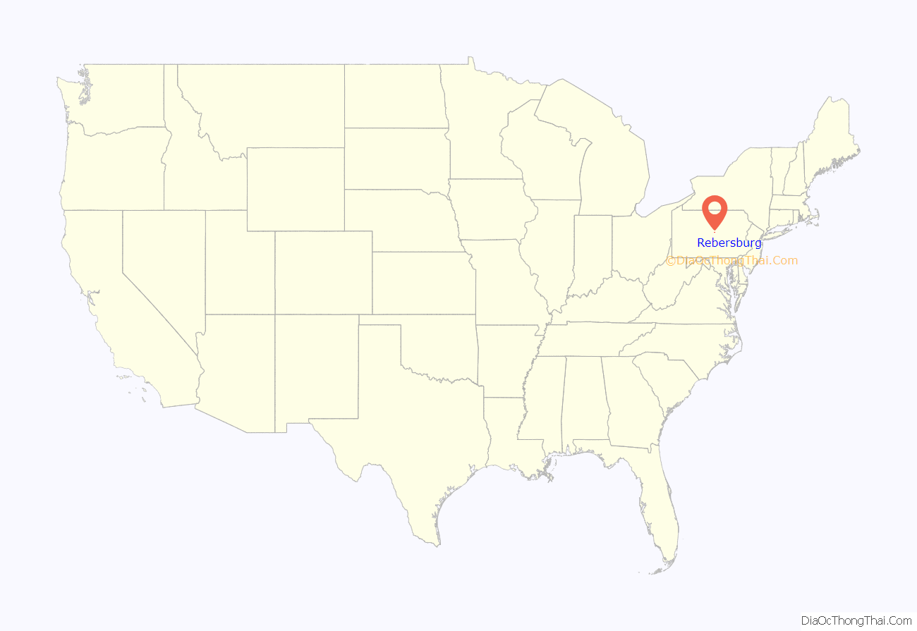
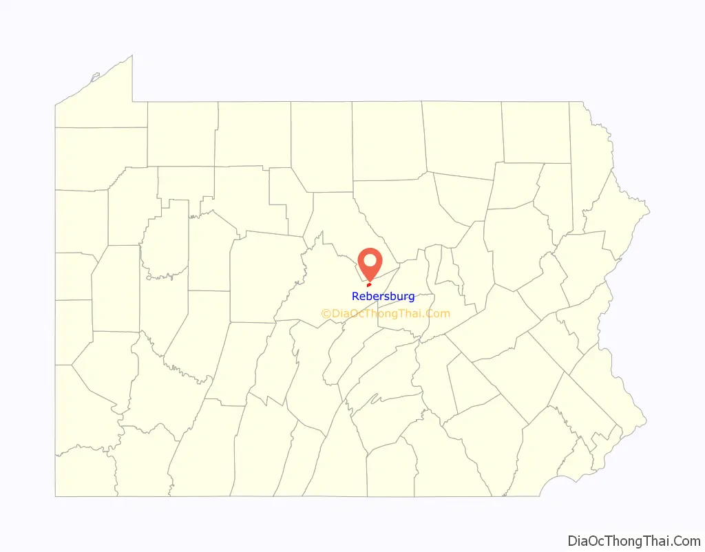
Rebersburg location map. Where is Rebersburg CDP?
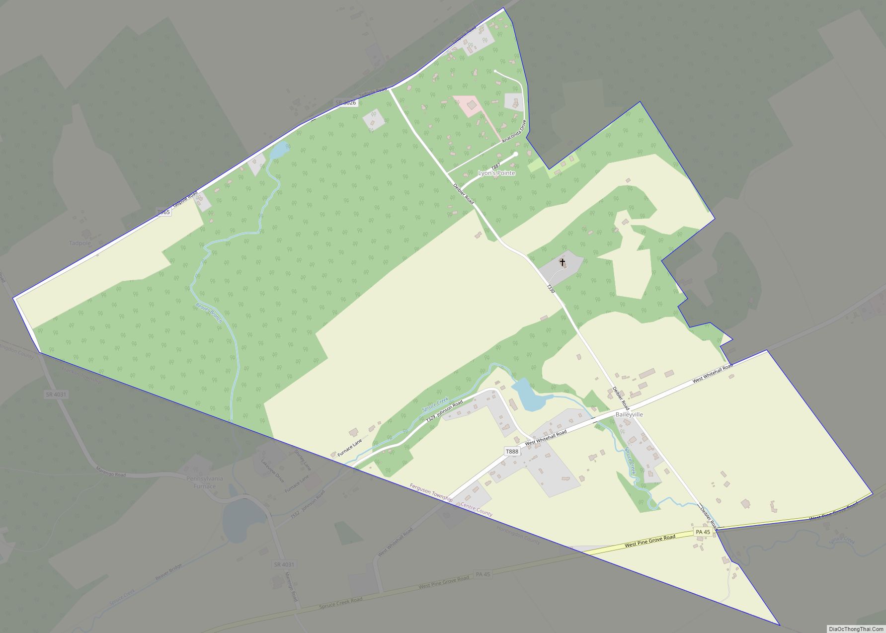
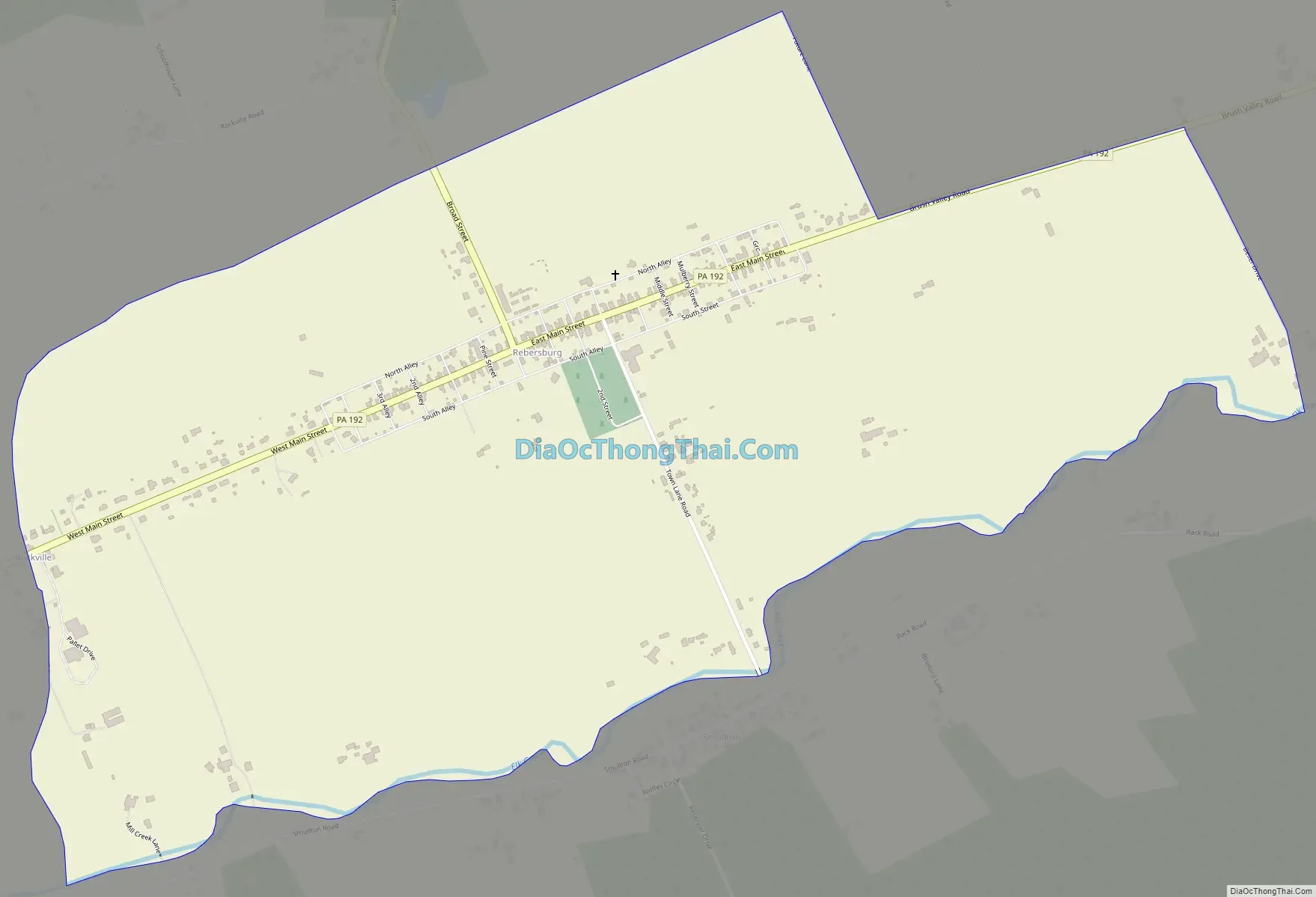
Rebersburg Road Map
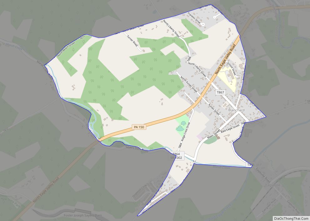
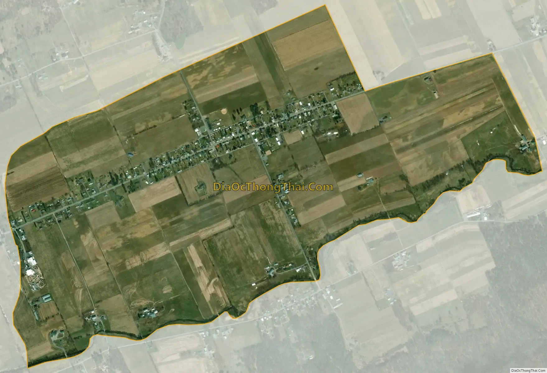
Rebersburg city Satellite Map
Geography
Rebersburg is located in eastern Centre County at 40°56′49″N 77°26′38″W / 40.94694°N 77.44389°W / 40.94694; -77.44389 (40.946852, -77.443835), in the western part of Miles Township. It is in the Brush Valley, part of the Ridge-and-Valley Province of the Appalachian Mountains, sitting between Nittany Mountain to the north and Brush Mountain/Shriner Mountain to the south.
Pennsylvania Route 192 passes through the town as it runs the length of Brush Valley, leading west 4 miles (6 km) to Madisonburg and 14 miles (23 km) to Centre Hall, and east 31 miles (50 km) to Lewisburg. Pennsylvania Route 880 leads north from Rebersburg over Mount Nittany into Sugar Valley and the borough of Loganton.
According to the United States Census Bureau, Rebersburg has a total area of 1.36 square miles (3.52 km), all land.
See also
Map of Pennsylvania State and its subdivision:- Adams
- Allegheny
- Armstrong
- Beaver
- Bedford
- Berks
- Blair
- Bradford
- Bucks
- Butler
- Cambria
- Cameron
- Carbon
- Centre
- Chester
- Clarion
- Clearfield
- Clinton
- Columbia
- Crawford
- Cumberland
- Dauphin
- Delaware
- Elk
- Erie
- Fayette
- Forest
- Franklin
- Fulton
- Greene
- Huntingdon
- Indiana
- Jefferson
- Juniata
- Lackawanna
- Lancaster
- Lawrence
- Lebanon
- Lehigh
- Luzerne
- Lycoming
- Mc Kean
- Mercer
- Mifflin
- Monroe
- Montgomery
- Montour
- Northampton
- Northumberland
- Perry
- Philadelphia
- Pike
- Potter
- Schuylkill
- Snyder
- Somerset
- Sullivan
- Susquehanna
- Tioga
- Union
- Venango
- Warren
- Washington
- Wayne
- Westmoreland
- Wyoming
- York
- Alabama
- Alaska
- Arizona
- Arkansas
- California
- Colorado
- Connecticut
- Delaware
- District of Columbia
- Florida
- Georgia
- Hawaii
- Idaho
- Illinois
- Indiana
- Iowa
- Kansas
- Kentucky
- Louisiana
- Maine
- Maryland
- Massachusetts
- Michigan
- Minnesota
- Mississippi
- Missouri
- Montana
- Nebraska
- Nevada
- New Hampshire
- New Jersey
- New Mexico
- New York
- North Carolina
- North Dakota
- Ohio
- Oklahoma
- Oregon
- Pennsylvania
- Rhode Island
- South Carolina
- South Dakota
- Tennessee
- Texas
- Utah
- Vermont
- Virginia
- Washington
- West Virginia
- Wisconsin
- Wyoming