Saltillo is a borough in Huntingdon County, Pennsylvania, United States. The population was 346 at the 2010 census.
| Name: | Saltillo borough |
|---|---|
| LSAD Code: | 21 |
| LSAD Description: | borough (suffix) |
| State: | Pennsylvania |
| County: | Huntingdon County |
| Total Area: | 0.25 sq mi (0.65 km²) |
| Land Area: | 0.25 sq mi (0.65 km²) |
| Water Area: | 0.00 sq mi (0.00 km²) |
| Total Population: | 309 |
| Population Density: | 1,226.19/sq mi (473.56/km²) |
| ZIP code: | 17253 |
| Area code: | 814 |
| FIPS code: | 4267632 |
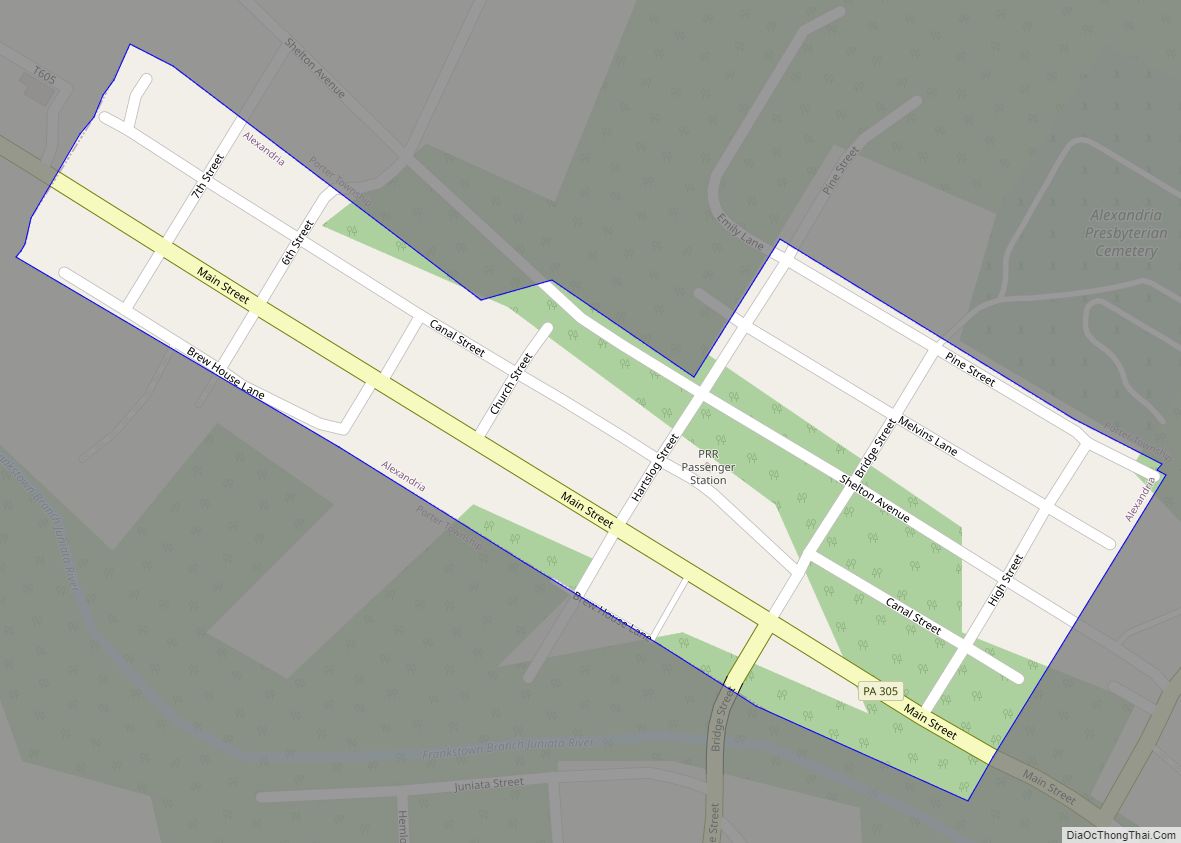
Online Interactive Map
Click on ![]() to view map in "full screen" mode.
to view map in "full screen" mode.
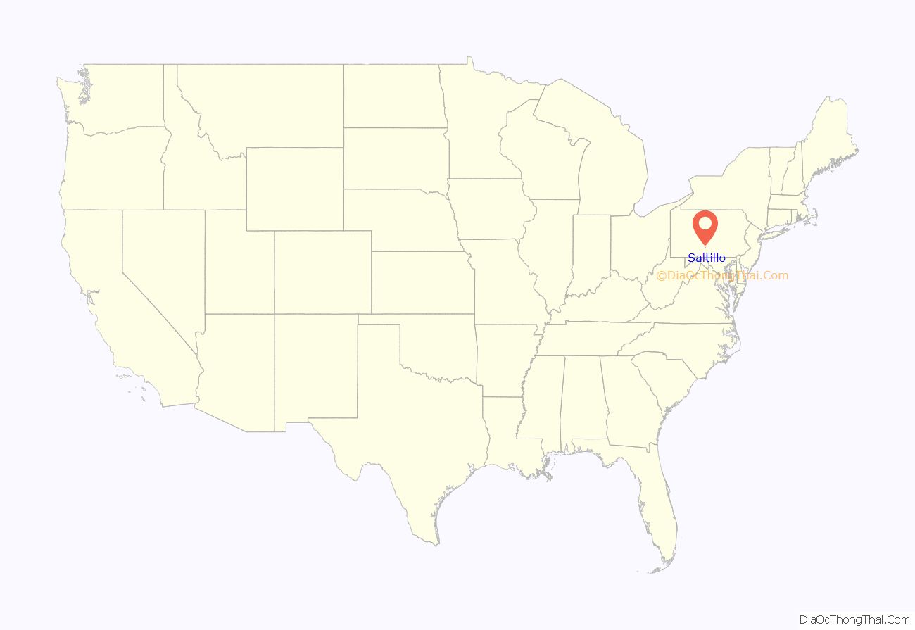
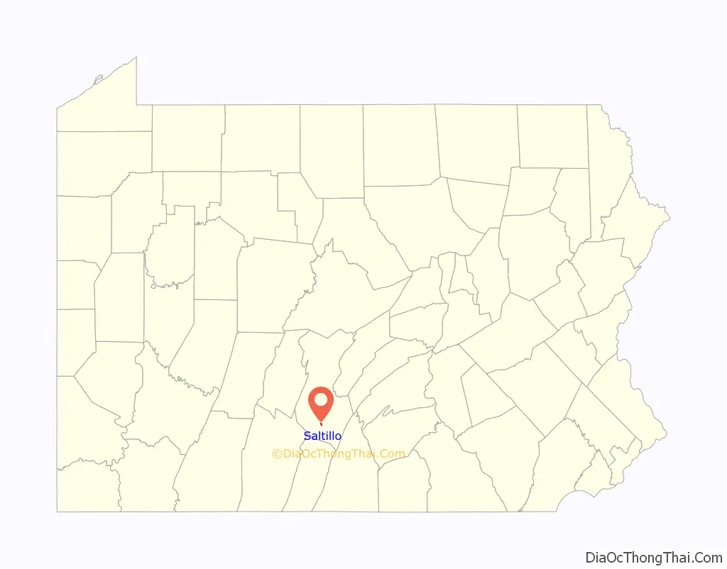
Saltillo location map. Where is Saltillo borough?
History
Saltillo was named after the Mexican War Battle of Saltillo (23 October 1840). It was a major tanning center during the late 19th and early 20th centuries. The Leas and McVitty Tannery was located here, known for quality hides. The main line of the East Broad Top Railroad (EBT) was built through Saltillo in 1874. The railroad served the tannery as well as a short-lived iron mine and an equally short-lived limestone quarry, both just southeast of town.
Saltillo was an important place on the EBT, acting as a base station for the long grade up to Broad Top Mountain. The EBT had a three-track yard, a station, a water tank and a turning wye located here. Just after the turn of the 20th century a large ganister quarry was established above Saltillo on Jacks Mountain by Mount Union Refractories (later United States Refractories and North American Refractories) to supply their plant in Mount Union. In 1942 a spur was built from the EBT yard in Saltillo, which climbed the mountain to a tipple below the quarry. The branch was the steepest track on the EBT and remained in service until the line closed in 1956. The quarry continued to operate into the 1970s, served by trucks. The EBT tracks in Saltillo are still in place. The water tank was burned by vandals in the late 1980s and the station was demolished in the mid-2000s after being allowed to deteriorate to deplorable condition.
Around 1935 the skeleton of a mastodon was discovered behind the ball field in Saltillo by two young men digging a drainage ditch. They excavated several bones, teeth and both tusks. They gave them to C.R. Cornelius the landowner, who later donated them to Penn State University where they can be seen today. In the 1990s Penn State reopened the dig and found even more bones that were missed during the first excavation.
The Hudson Grist Mill at the southwest edge of town was listed on the National Register of Historic Places in 1990.
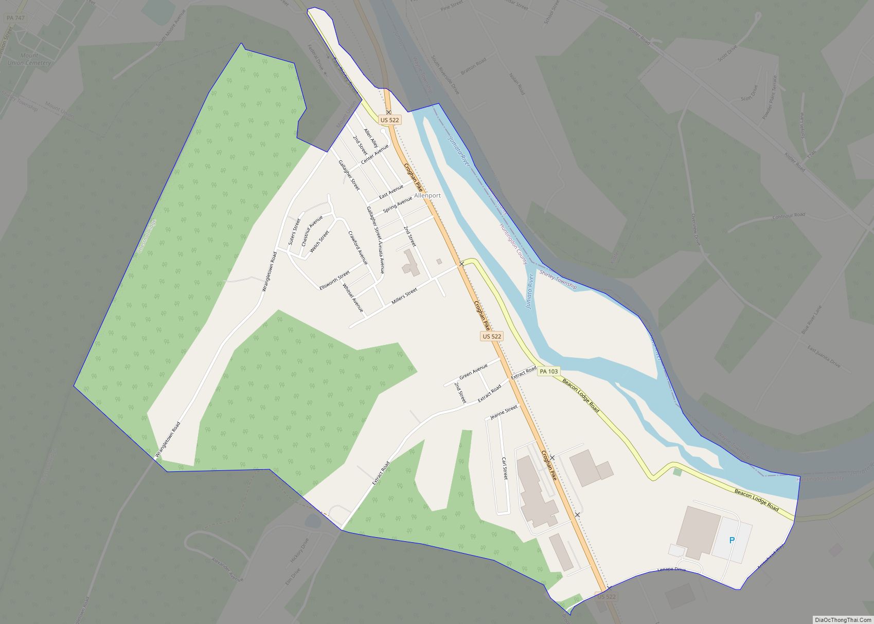
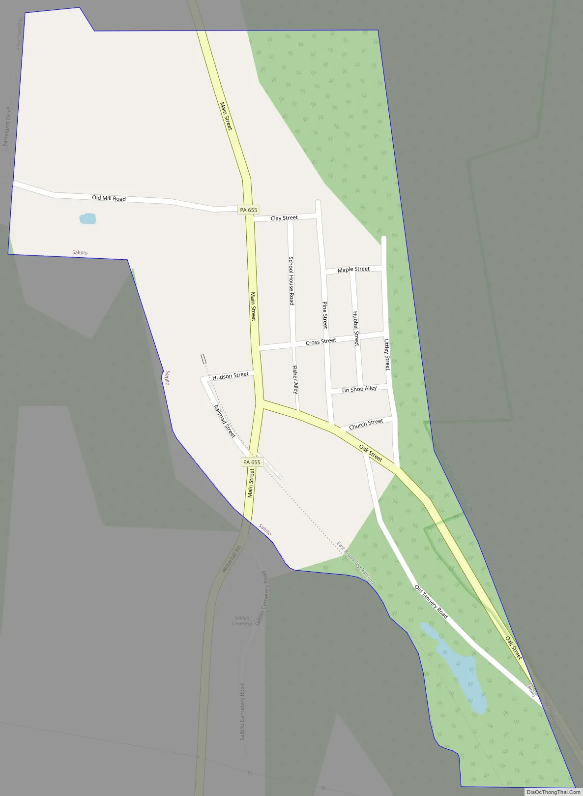
Saltillo Road Map
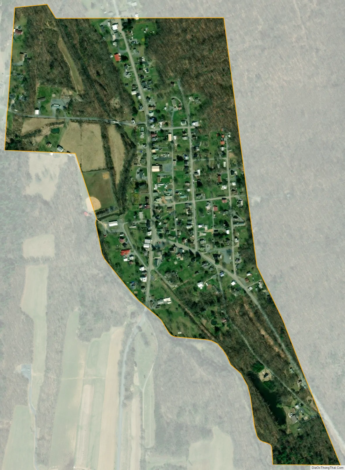
Saltillo city Satellite Map
Geography
Saltillo is located in southern Huntingdon County at 40°12′39″N 78°00′21″W / 40.2109°N 78.0057°W / 40.2109; -78.0057. It sits in the valley of North Spring Branch at the western foot of Jacks Mountain, near the mountain’s southern end. Pennsylvania Routes 655 and 829 run through the borough as Main Street. PA 655 leads south 14 miles (23 km) to Hustontown, while PA 829 leads southeast 1.7 miles (2.7 km) to Three Springs. The two highways together lead north 2 miles (3 km) to where they split in Knightsville. Huntingdon, the county seat, is 22 miles (35 km) north via PA 655 and U.S. Route 22.
According to the United States Census Bureau, the borough has a total area of 0.25 square miles (0.65 km), all land.
See also
Map of Pennsylvania State and its subdivision:- Adams
- Allegheny
- Armstrong
- Beaver
- Bedford
- Berks
- Blair
- Bradford
- Bucks
- Butler
- Cambria
- Cameron
- Carbon
- Centre
- Chester
- Clarion
- Clearfield
- Clinton
- Columbia
- Crawford
- Cumberland
- Dauphin
- Delaware
- Elk
- Erie
- Fayette
- Forest
- Franklin
- Fulton
- Greene
- Huntingdon
- Indiana
- Jefferson
- Juniata
- Lackawanna
- Lancaster
- Lawrence
- Lebanon
- Lehigh
- Luzerne
- Lycoming
- Mc Kean
- Mercer
- Mifflin
- Monroe
- Montgomery
- Montour
- Northampton
- Northumberland
- Perry
- Philadelphia
- Pike
- Potter
- Schuylkill
- Snyder
- Somerset
- Sullivan
- Susquehanna
- Tioga
- Union
- Venango
- Warren
- Washington
- Wayne
- Westmoreland
- Wyoming
- York
- Alabama
- Alaska
- Arizona
- Arkansas
- California
- Colorado
- Connecticut
- Delaware
- District of Columbia
- Florida
- Georgia
- Hawaii
- Idaho
- Illinois
- Indiana
- Iowa
- Kansas
- Kentucky
- Louisiana
- Maine
- Maryland
- Massachusetts
- Michigan
- Minnesota
- Mississippi
- Missouri
- Montana
- Nebraska
- Nevada
- New Hampshire
- New Jersey
- New Mexico
- New York
- North Carolina
- North Dakota
- Ohio
- Oklahoma
- Oregon
- Pennsylvania
- Rhode Island
- South Carolina
- South Dakota
- Tennessee
- Texas
- Utah
- Vermont
- Virginia
- Washington
- West Virginia
- Wisconsin
- Wyoming