Schaefferstown (Pennsylvania German: Schaefferschteddel) is an unincorporated community and census-designated place (CDP) in Heidelberg Township, Lebanon County, Pennsylvania, United States. The population was 941 at the 2010 census.
| Name: | Schaefferstown CDP |
|---|---|
| LSAD Code: | 57 |
| LSAD Description: | CDP (suffix) |
| State: | Pennsylvania |
| County: | Lebanon County |
| Elevation: | 585 ft (178 m) |
| Total Area: | 2.68 sq mi (6.95 km²) |
| Land Area: | 2.68 sq mi (6.95 km²) |
| Total Population: | 941 |
| Population Density: | 350/sq mi (135.3/km²) |
| ZIP code: | 17088 |
| Area code: | 717 |
| FIPS code: | 4268144 |
| GNISfeature ID: | 1214011 |
Online Interactive Map
Click on ![]() to view map in "full screen" mode.
to view map in "full screen" mode.
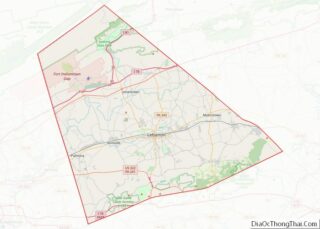
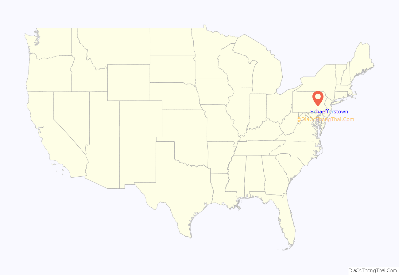
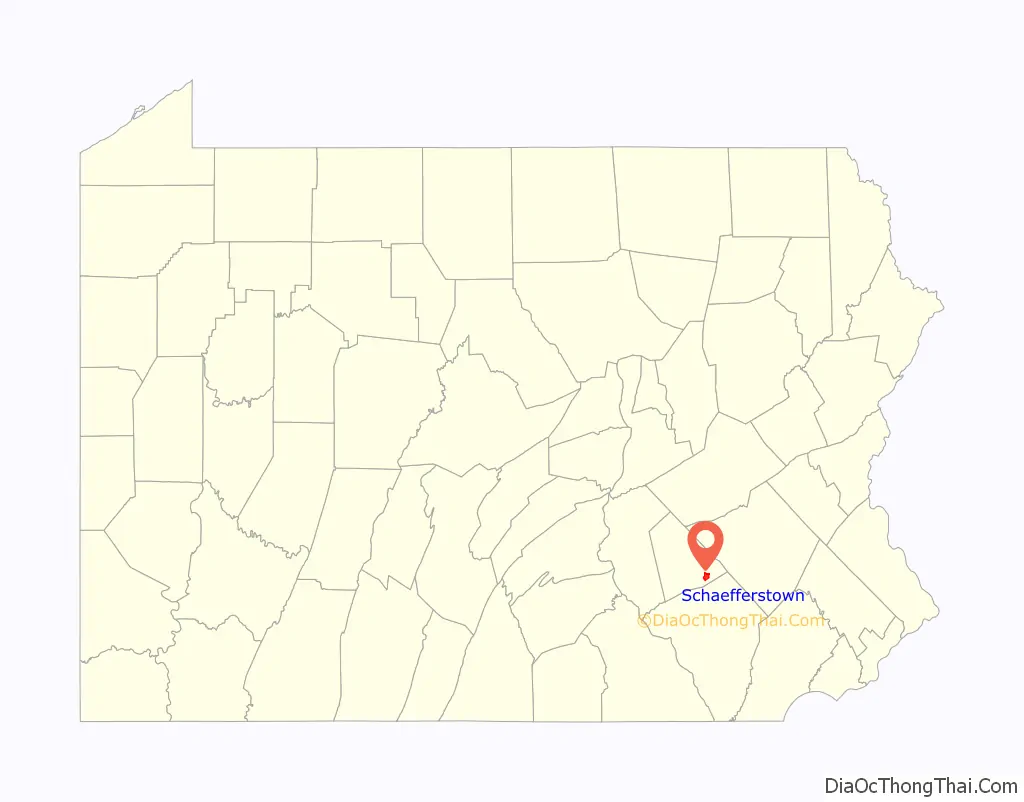
Schaefferstown location map. Where is Schaefferstown CDP?
History
Schaefferstown is one of the oldest towns in Lebanon County (which was formed from parts of Dauphin County and Lancaster County in 1813), being at least a century older than the county itself. It is the main town in Heidelberg Township. Although the exact date of the first settlers is unknown, it is certain that they settled here before 1725. Those first settlers were believed to have been German Jews though no physical evidence of their presence in the area that would become Schaefferstown exists. It is said twenty or so Jewish traders lived in the area in a place known as Lebanon Tradiing Post. An old jewish burial ground is said to have been situated about a quarter mile south of Tower Hill and almost a hundred yards east of South Market Street in Schaefferstown.
Brendle Farms, Philip Erpff House, and Rex House are listed on the National Register of Historic Places. Bomberger’s Distillery, also listed, was located near Schaefferstown. The buildings of the distillery were demolished. The Schaeffer House was added to the National Register of Historic Places and designated a National Historic Landmark in 2011. Other historic buildings include the extravagant Second Empire style Weigley Mansion. Schaefferstown also hosts three museums: The Alexander Schaeffer House and Farm, Gemberling-Rex House and the Thomas R. Brendle Museum.
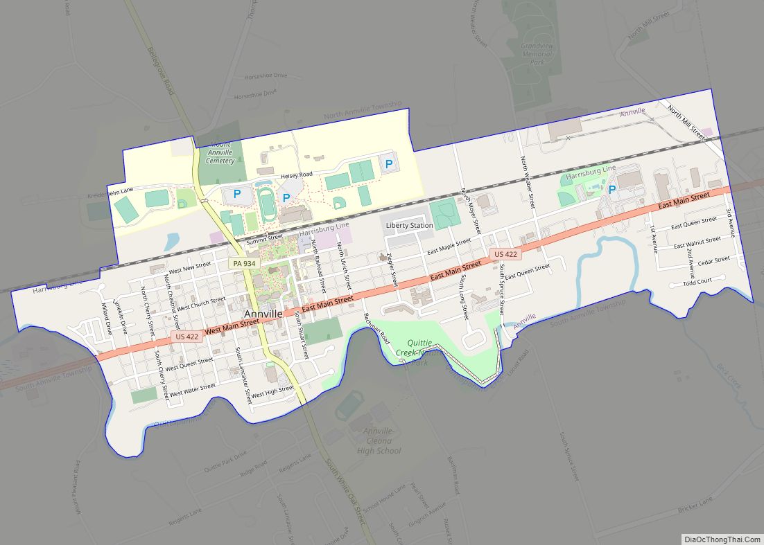
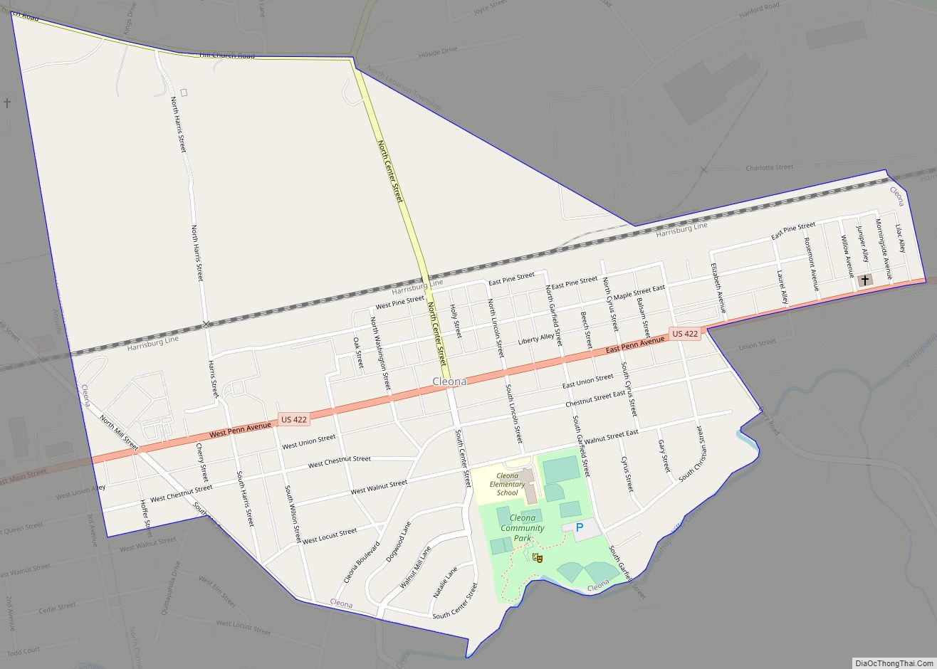
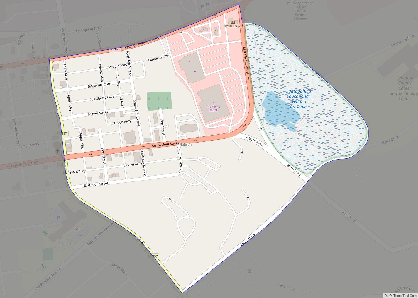
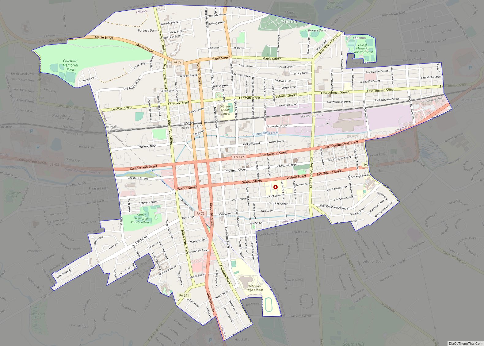
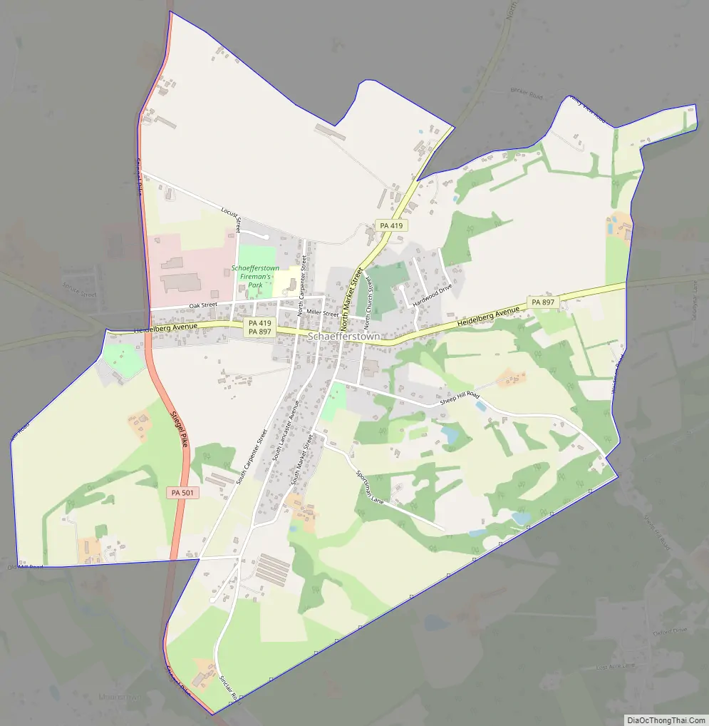
Schaefferstown Road Map
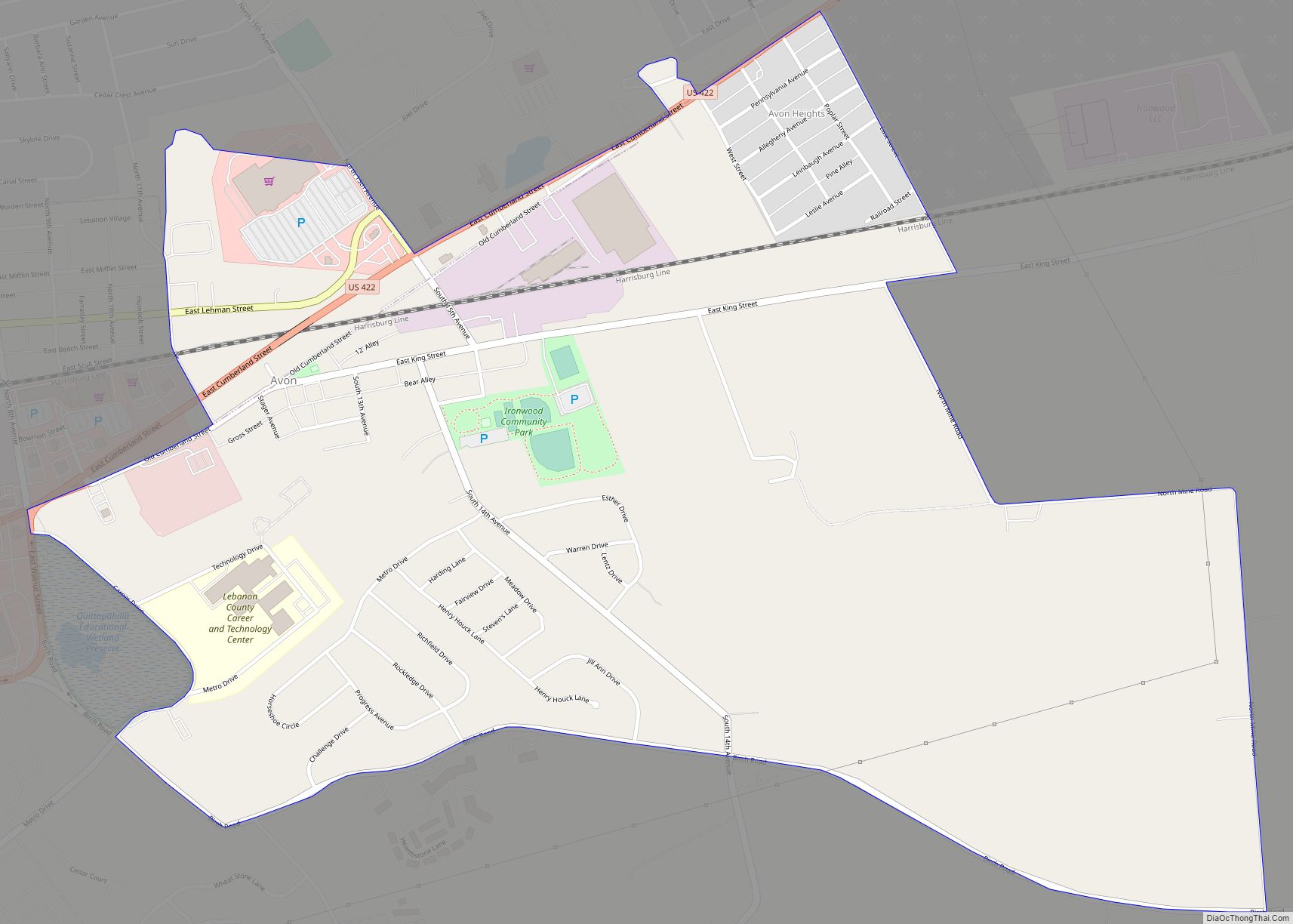
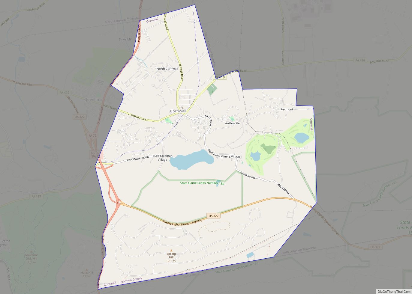
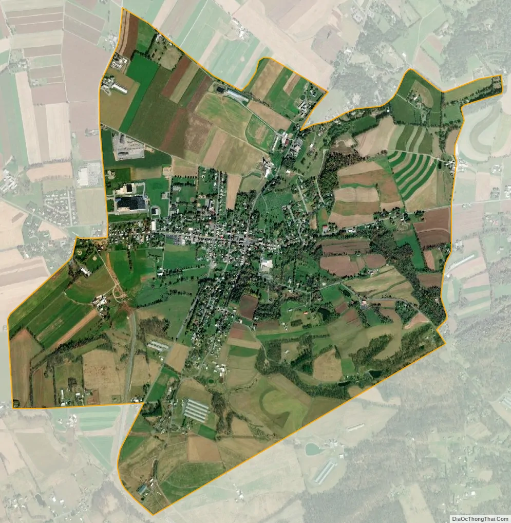
Schaefferstown city Satellite Map
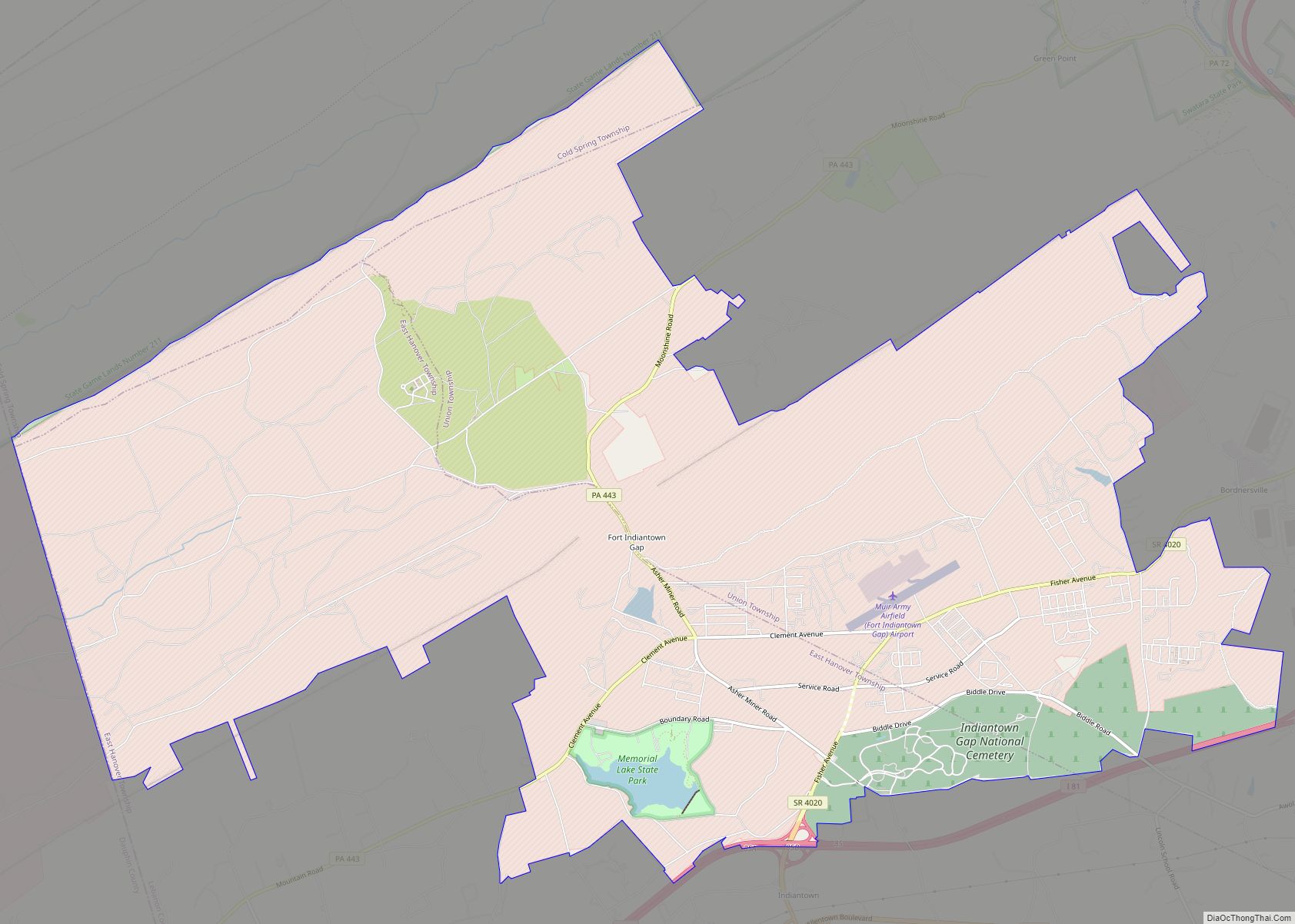
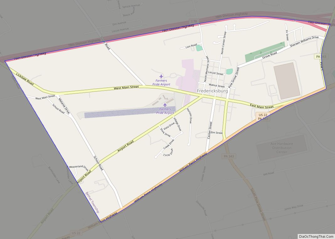
Geography
Schaefferstown is in southeastern Lebanon County, in the center of Heidelberg Township. Pennsylvania Route 897 passes through the center of town, leading east 14 miles (23 km) to Swartzville and northwest 7 miles (11 km) to Lebanon, the county seat. Pennsylvania Route 501 passes through the west side of the community, leading north 5 miles (8 km) to Myerstown and south 10 miles (16 km) to Lititz. Pennsylvania Route 419 follows PA 897 through the center of Schaefferstown, leading northeast 8 miles (13 km) to Womelsdorf and west-southwest 6 miles (10 km) to Cornwall.
According to the United States Census Bureau, the Schaefferstown CDP has a total area of 2.7 square miles (7.0 km), all land. Most of the community drains south to Hammer Creek, a tributary of Cocalico Creek and part of the Conestoga River watershed flowing to the Susquehanna. The northernmost part of the CDP drains toward Tulpehocken Creek, a tributary of the Schuylkill River and part of the Delaware River watershed.
Schaefferstown is home to Fountain Park, the oldest chartered waterworks still in operation in the United States.
See also
Map of Pennsylvania State and its subdivision:- Adams
- Allegheny
- Armstrong
- Beaver
- Bedford
- Berks
- Blair
- Bradford
- Bucks
- Butler
- Cambria
- Cameron
- Carbon
- Centre
- Chester
- Clarion
- Clearfield
- Clinton
- Columbia
- Crawford
- Cumberland
- Dauphin
- Delaware
- Elk
- Erie
- Fayette
- Forest
- Franklin
- Fulton
- Greene
- Huntingdon
- Indiana
- Jefferson
- Juniata
- Lackawanna
- Lancaster
- Lawrence
- Lebanon
- Lehigh
- Luzerne
- Lycoming
- Mc Kean
- Mercer
- Mifflin
- Monroe
- Montgomery
- Montour
- Northampton
- Northumberland
- Perry
- Philadelphia
- Pike
- Potter
- Schuylkill
- Snyder
- Somerset
- Sullivan
- Susquehanna
- Tioga
- Union
- Venango
- Warren
- Washington
- Wayne
- Westmoreland
- Wyoming
- York
- Alabama
- Alaska
- Arizona
- Arkansas
- California
- Colorado
- Connecticut
- Delaware
- District of Columbia
- Florida
- Georgia
- Hawaii
- Idaho
- Illinois
- Indiana
- Iowa
- Kansas
- Kentucky
- Louisiana
- Maine
- Maryland
- Massachusetts
- Michigan
- Minnesota
- Mississippi
- Missouri
- Montana
- Nebraska
- Nevada
- New Hampshire
- New Jersey
- New Mexico
- New York
- North Carolina
- North Dakota
- Ohio
- Oklahoma
- Oregon
- Pennsylvania
- Rhode Island
- South Carolina
- South Dakota
- Tennessee
- Texas
- Utah
- Vermont
- Virginia
- Washington
- West Virginia
- Wisconsin
- Wyoming