Shenandoah is a borough in Schuylkill County in the Coal Region of Pennsylvania. It is distinct from Shenandoah Heights, which is part of West Mahanoy Township immediately to the north. As of 2021, the borough’s population was 4,247.
Shenandoah is located approximately 53.5 miles (86.1 km) northwest of Allentown, 102.3 miles (164.6 km) northwest of Philadelphia, and 144.5 miles (232.6 km) miles west of New York City.
| Name: | Shenandoah borough |
|---|---|
| LSAD Code: | 21 |
| LSAD Description: | borough (suffix) |
| State: | Pennsylvania |
| County: | Schuylkill County |
| Incorporated: | 1866 |
| Total Area: | 1.58 sq mi (4.09 km²) |
| Land Area: | 1.51 sq mi (3.91 km²) |
| Water Area: | 0.07 sq mi (0.17 km²) |
| Total Population: | 4,249 |
| Population Density: | 3,150.23/sq mi (1,216.46/km²) |
| ZIP code: | 17976 |
| Area code: | 570 |
| FIPS code: | 4270056 |
| Website: | http://shenandoahpa.org/ |
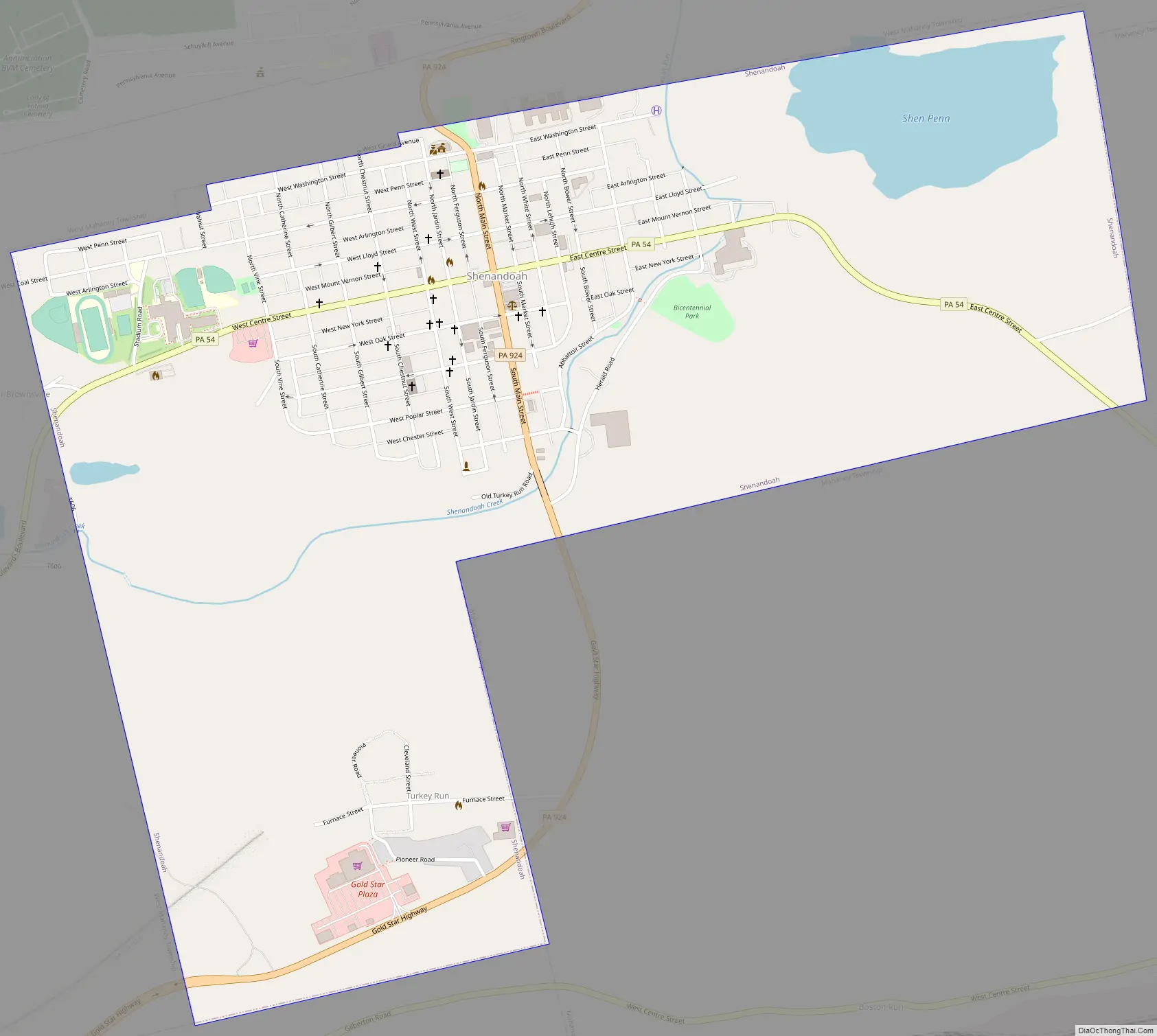
Online Interactive Map
Click on ![]() to view map in "full screen" mode.
to view map in "full screen" mode.
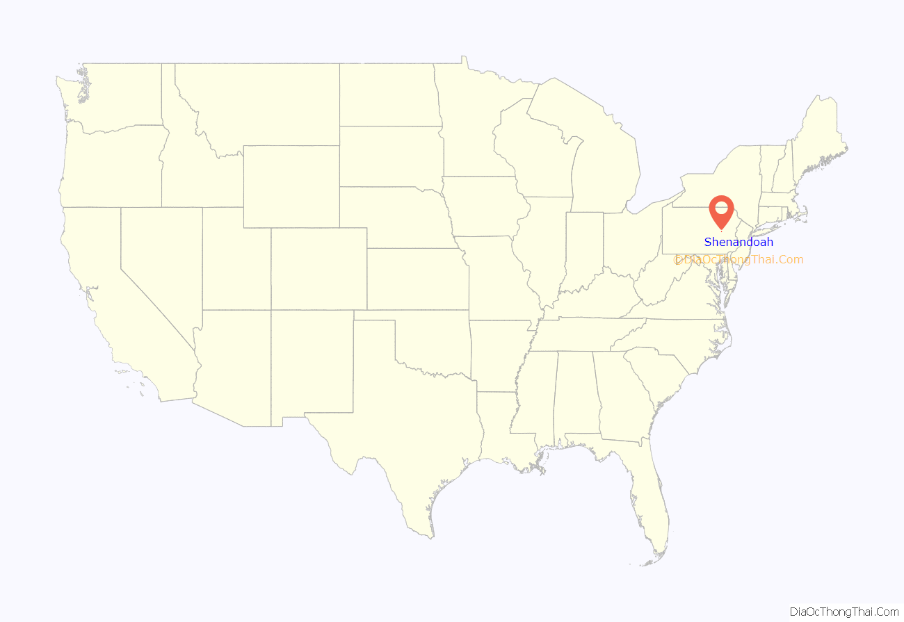
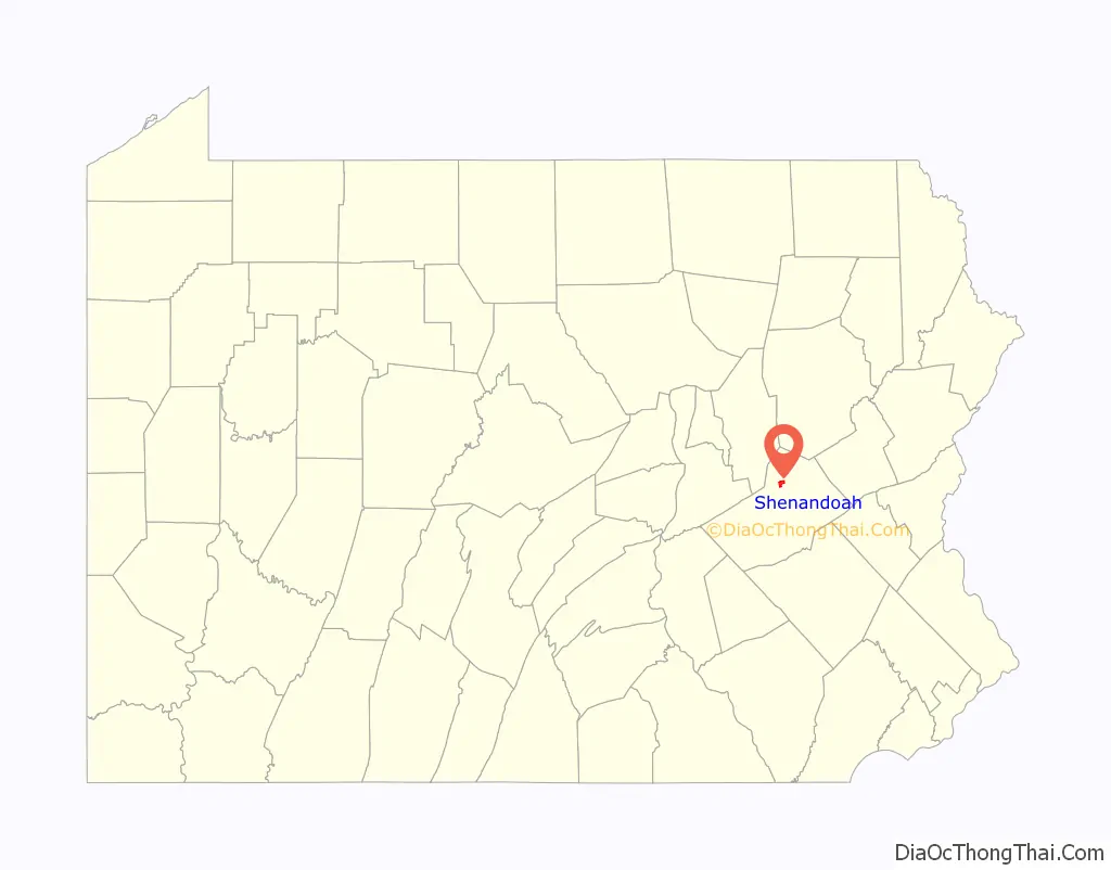
Shenandoah location map. Where is Shenandoah borough?
History
The area that ultimately became Shenandoah was first settled by a farmer named Peter Kehley in 1835. Kehley cleared a patch of land at the center of the valley and built a log cabin and maintained his farm for about 20 years in total isolation. He sold his claim to the Philadelphia Land Company, which in anticipation of the opening of coal mines in the area, laid out the town in 1862.
Booming growth occurred during the Civil War years caused by the development and opening of several anthracite coal mines. The area was incorporated as a borough in 1866 and was a famous hotbed of activity during the era of the Molly Maguires in the 1870s.
After the original influx of English, Welsh, Irish, and German immigrants a large influx of people from central, eastern and southern European countries such as Poland, Lithuania, and Italy occurred in the decades before and after the turn of the 20th century. By 1920, the town had a population of nearly 30,000 residents. The community was hard hit by the decline of the anthracite coal industry after World War II and heavy emigration by coal miners occurred in order to find work elsewhere.
In Schuylkill County Court, January 1902, those interested filed their petition for retail, wholesale, bottling or brewing licenses at the Office of the Clerk of the Court. Shenandoah was represented with bars and breweries. This coal town offered more bars per thousand people than any other location in the world.
The Lehigh Valley Railroad Station served as the main passenger terminal in Shenandoah, but because of the coal industry, it was not the only railroad to service Shenandoah. The town was also served by the Pennsylvania Railroad and Reading Railroad, making Shenandoah the only borough in Pennsylvania to be served by three railroad companies.
During the Great Coal Strike of 1902 the Pennsylvania National Guard was called into Shenandoah to keep the peace and curb rioting by angry miners. The strike would only be resolved after President Theodore Roosevelt intervened.
Shenandoah, the rise and fall of the coal industry, and the dismantling of the Molly Maguires was one of the subjects examined by George Leighton in his 1939 book Five Cities: The Story of Their Youth and Old Age.
Shenandoah Valley was featured in the documentary 2012 film “Shenandoah, Pennsylvania” exploring the hate crime murder of Luis Ramirez and the local police attempting to cover it up.
Shenandoah Road Map
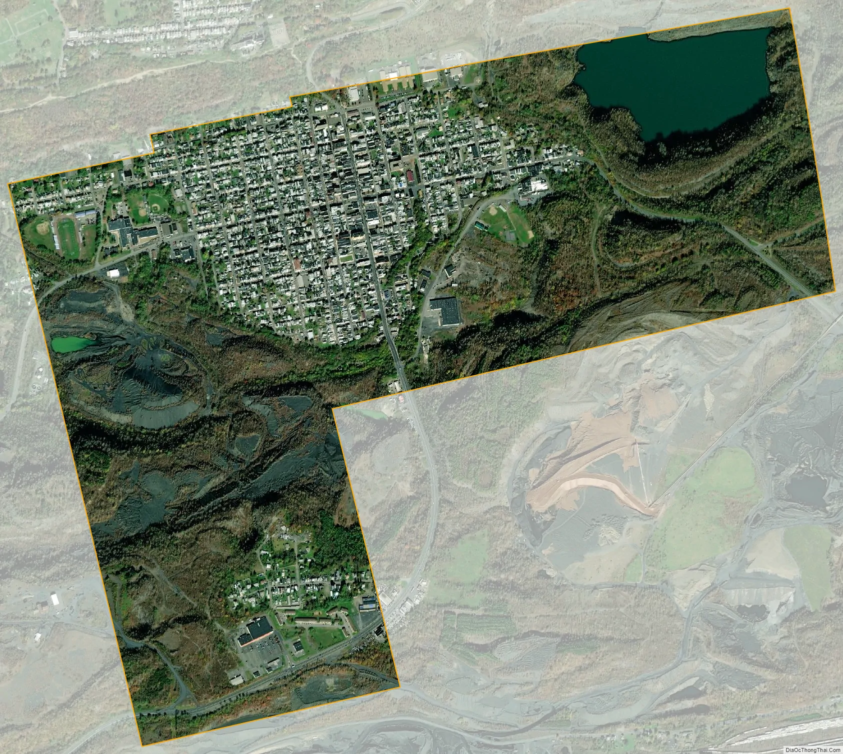
Shenandoah city Satellite Map
Geography
Shenandoah is located at 40°49′11″N 76°12′10″W / 40.81972°N 76.20278°W / 40.81972; -76.20278 (40.819753, -76.202883).
According to the United States Census Bureau, the borough has a total area of 1.6 square miles (4.1 km), of which 1.5 square miles (3.9 km) is land and 0.1 square miles (0.26 km) (3.80%) is water. It has a warm-summer humid continental climate (Dfb) and average monthly temperatures range from 25.0 °F in January to 69.5 °F in July. PRISM Climate Group at Oregon State University The hardiness zone is 6a.
See also
Map of Pennsylvania State and its subdivision:- Adams
- Allegheny
- Armstrong
- Beaver
- Bedford
- Berks
- Blair
- Bradford
- Bucks
- Butler
- Cambria
- Cameron
- Carbon
- Centre
- Chester
- Clarion
- Clearfield
- Clinton
- Columbia
- Crawford
- Cumberland
- Dauphin
- Delaware
- Elk
- Erie
- Fayette
- Forest
- Franklin
- Fulton
- Greene
- Huntingdon
- Indiana
- Jefferson
- Juniata
- Lackawanna
- Lancaster
- Lawrence
- Lebanon
- Lehigh
- Luzerne
- Lycoming
- Mc Kean
- Mercer
- Mifflin
- Monroe
- Montgomery
- Montour
- Northampton
- Northumberland
- Perry
- Philadelphia
- Pike
- Potter
- Schuylkill
- Snyder
- Somerset
- Sullivan
- Susquehanna
- Tioga
- Union
- Venango
- Warren
- Washington
- Wayne
- Westmoreland
- Wyoming
- York
- Alabama
- Alaska
- Arizona
- Arkansas
- California
- Colorado
- Connecticut
- Delaware
- District of Columbia
- Florida
- Georgia
- Hawaii
- Idaho
- Illinois
- Indiana
- Iowa
- Kansas
- Kentucky
- Louisiana
- Maine
- Maryland
- Massachusetts
- Michigan
- Minnesota
- Mississippi
- Missouri
- Montana
- Nebraska
- Nevada
- New Hampshire
- New Jersey
- New Mexico
- New York
- North Carolina
- North Dakota
- Ohio
- Oklahoma
- Oregon
- Pennsylvania
- Rhode Island
- South Carolina
- South Dakota
- Tennessee
- Texas
- Utah
- Vermont
- Virginia
- Washington
- West Virginia
- Wisconsin
- Wyoming


