Smethport is a borough and county seat of McKean County, Pennsylvania, United States. The mayor is Wayne V. Foltz. The population was 1,430 at the 2020 census. Smethport is part of the Bradford, PA Micropolitan Statistical Area. Smethport, having the coldest temperature ever recorded in Pennsylvania, is the coldest place in Pennsylvania and one of the coldest towns in the contiguous United States.
| Name: | Smethport borough |
|---|---|
| LSAD Code: | 21 |
| LSAD Description: | borough (suffix) |
| State: | Pennsylvania |
| County: | McKean County |
| Incorporated: | 1853 |
| Total Area: | 1.69 sq mi (4.36 km²) |
| Land Area: | 1.63 sq mi (4.21 km²) |
| Water Area: | 0.06 sq mi (0.15 km²) |
| Total Population: | 1,430 |
| Population Density: | 941.54/sq mi (363.54/km²) |
| Area code: | 814 |
| FIPS code: | 4271248 |
Online Interactive Map
Click on ![]() to view map in "full screen" mode.
to view map in "full screen" mode.
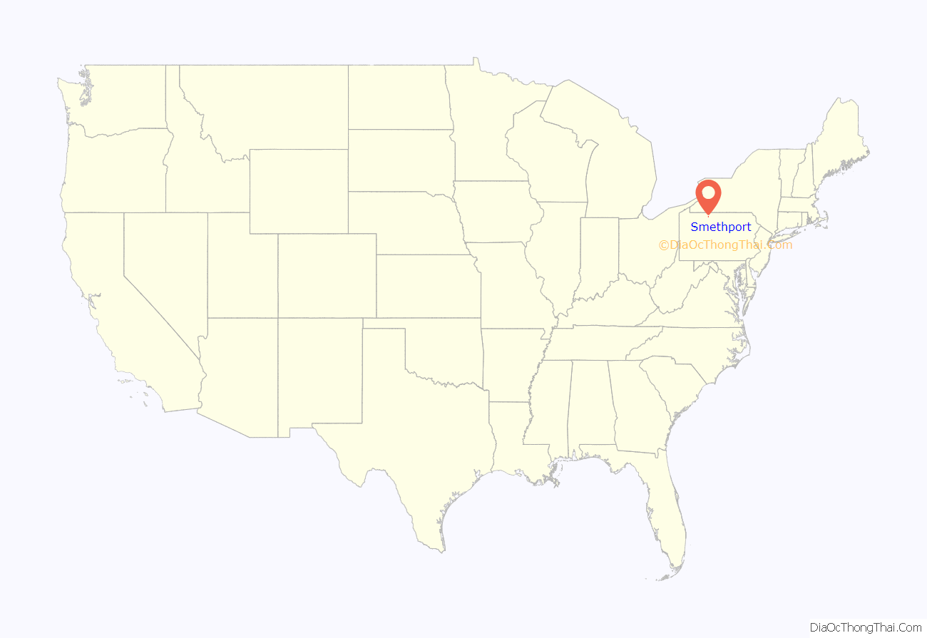
Smethport location map. Where is Smethport borough?
History
Smethport is situated in the Pennsylvania Wilds region, in a hilly area a short distance from the Allegheny National Forest and Kinzua Bridge State Park. Smethport is about two hours from Erie and Buffalo. The highest point on U.S. Route 6 east of the Mississippi River is near Smethport at Bush Hill.
Smethport was founded in 1807 by Dutch land investors who were surveying a large tract of land they purchased from the Commonwealth of Pennsylvania, and was named in honor of a Dutch banking family, the De Smeths, who financed the land investments. The town’s first business was a water-powered sawmill built by John Applebee in 1822. Smethport became the McKean County seat in 1826 and was incorporated as a Borough in 1853. The sawmill’s artificial pond is now the centerpiece of Hamlin Park. Smethport has ties to General Thomas L. Kane who organized the Bucktail Regiment during the Civil War; the borough is home to an active group of Bucktail re-enactors.
The borough has been the location of offices for several forest industry firms. From the 1870s to the early 1900s, Smethport was an important center for the East Coast hardwoods industry and enjoyed a timber-fueled economic boom that allowed the construction of many mansions that today make up a historic architectural district.
The first magnetic toys in the country were invented in Smethport in 1908. The Wooly Willy toy, a hit in the 1950s and still in production, was created in Smethport by Donald and James Herzog of the Smethport Specialty Company. In 2004 Smethport was selected as Pennsylvania’s first Route 6 Heritage Community, as a part of a heritage tourism development program.
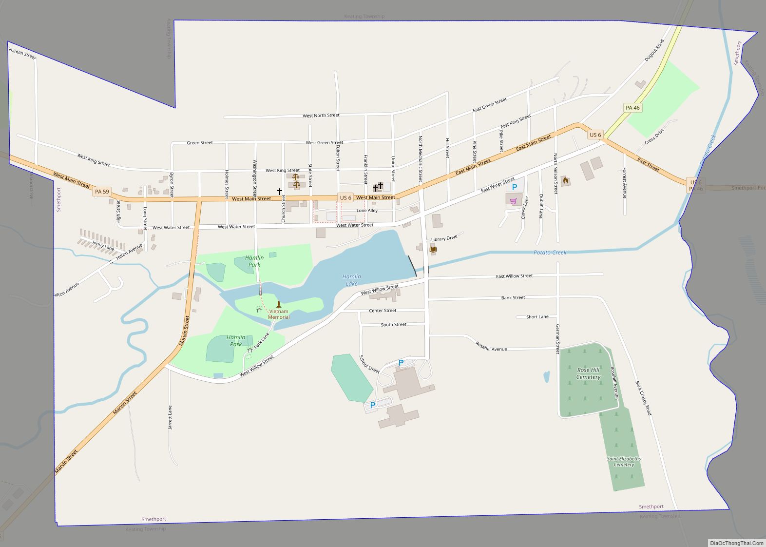
Smethport Road Map
Smethport city Satellite Map
Geography
Smethport is located at 41°49′N 78°27′W / 41.817°N 78.450°W / 41.817; -78.450 (41.8099, -78.4449).
According to the United States Census Bureau, the borough has a total area of 1.7 square miles (4.4 km), of which 1.7 square miles (4.4 km) of it is land and 0.60% is water.
Smethport is at high altitude, namely 1,488 feet (454 m) above sea level, and near Prospect Hill, the summit of which is the highest point in McKean County, rising above sea level 2,495 feet (760 m).
The above photo is an aerial view of Smethport (looking west) taken on May 4, 2008. Click for a larger view.
Climate
This climatic region is typified by large seasonal temperature differences, with warm to hot (and often humid) summers and cold (sometimes severely cold) winters. According to the Köppen Climate Classification system, Smethport has a humid continental climate, abbreviated “Dfb” on climate maps.
The lowest temperature ever recorded in Pennsylvania, −42 °F (−41 °C), was at Smethport on January 5, 1904. Smethport is tied with Lawrenceville for the state February record minimum temperature of −39 °F (−39 °C).
The central Appalachian region has experienced some of the largest rainfall accumulations in the world at time intervals less than 6 hours, including the 18 July 1942 Smethport, Pennsylvania, storm that produced 780 mm (30.7 inches) in less than 5 hours.
See also
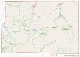
Map of Pennsylvania State and its subdivision:- Adams
- Allegheny
- Armstrong
- Beaver
- Bedford
- Berks
- Blair
- Bradford
- Bucks
- Butler
- Cambria
- Cameron
- Carbon
- Centre
- Chester
- Clarion
- Clearfield
- Clinton
- Columbia
- Crawford
- Cumberland
- Dauphin
- Delaware
- Elk
- Erie
- Fayette
- Forest
- Franklin
- Fulton
- Greene
- Huntingdon
- Indiana
- Jefferson
- Juniata
- Lackawanna
- Lancaster
- Lawrence
- Lebanon
- Lehigh
- Luzerne
- Lycoming
- Mc Kean
- Mercer
- Mifflin
- Monroe
- Montgomery
- Montour
- Northampton
- Northumberland
- Perry
- Philadelphia
- Pike
- Potter
- Schuylkill
- Snyder
- Somerset
- Sullivan
- Susquehanna
- Tioga
- Union
- Venango
- Warren
- Washington
- Wayne
- Westmoreland
- Wyoming
- York
- Alabama
- Alaska
- Arizona
- Arkansas
- California
- Colorado
- Connecticut
- Delaware
- District of Columbia
- Florida
- Georgia
- Hawaii
- Idaho
- Illinois
- Indiana
- Iowa
- Kansas
- Kentucky
- Louisiana
- Maine
- Maryland
- Massachusetts
- Michigan
- Minnesota
- Mississippi
- Missouri
- Montana
- Nebraska
- Nevada
- New Hampshire
- New Jersey
- New Mexico
- New York
- North Carolina
- North Dakota
- Ohio
- Oklahoma
- Oregon
- Pennsylvania
- Rhode Island
- South Carolina
- South Dakota
- Tennessee
- Texas
- Utah
- Vermont
- Virginia
- Washington
- West Virginia
- Wisconsin
- Wyoming
