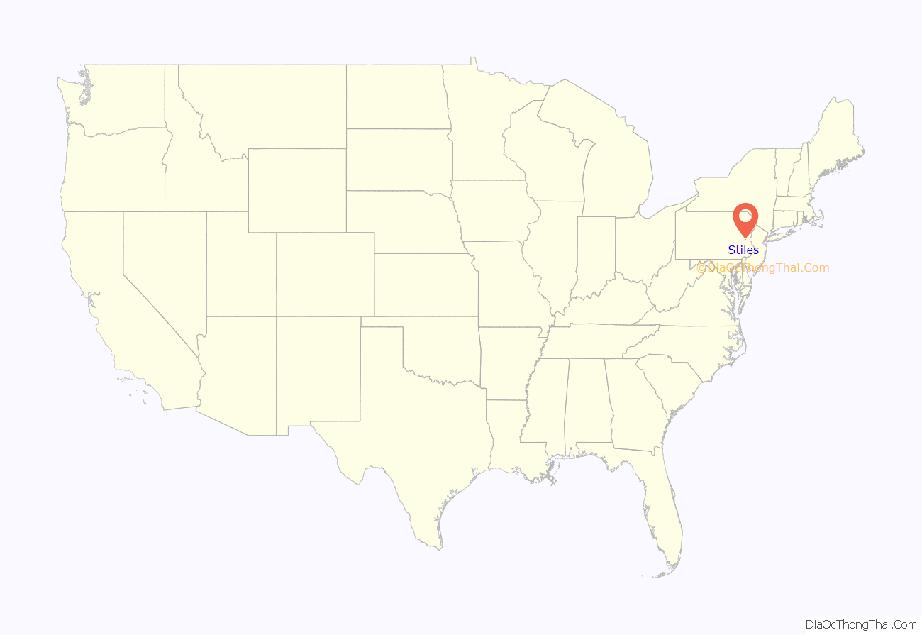
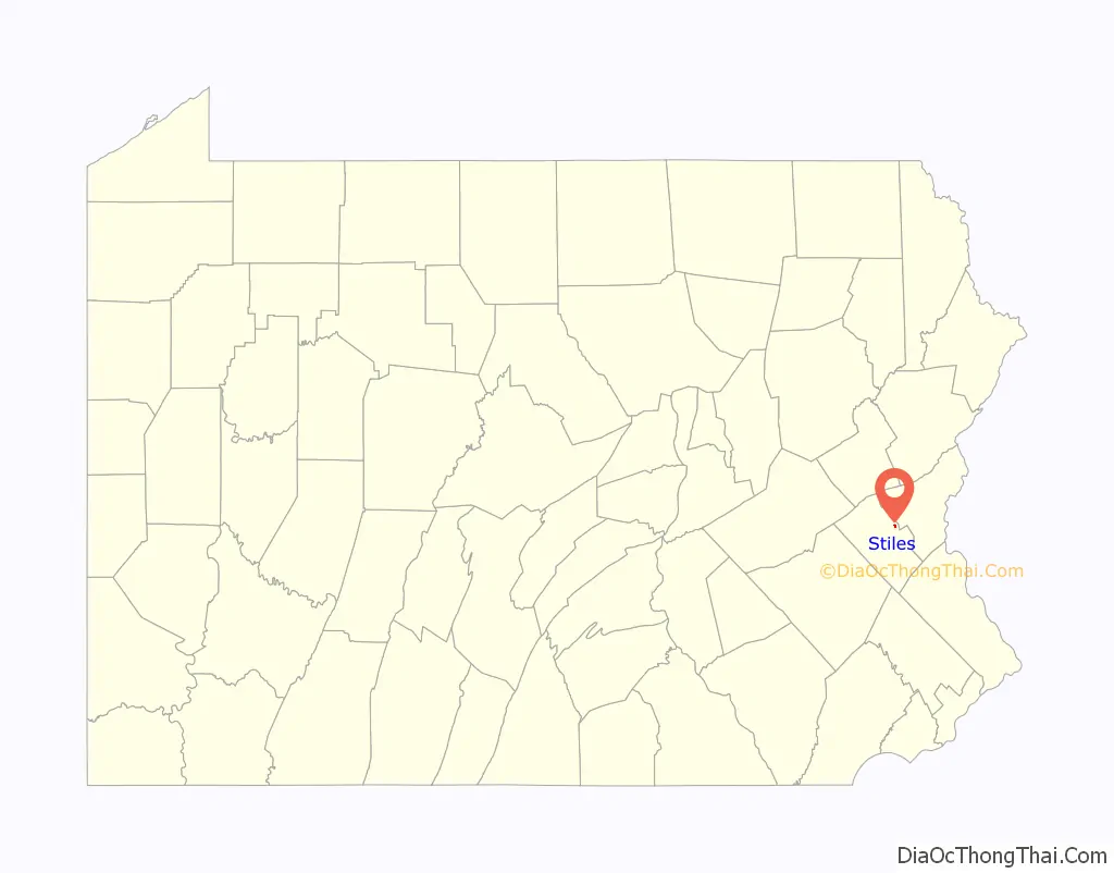
Stiles is an unincorporated community and census-designated place (CDP) in Whitehall Township in Lehigh County, Pennsylvania. As of the 2010 census, the population was 1,113.
Stiles is part of the Lehigh Valley, which had a population of 861,899 and was the 68th-most populous metropolitan area in the U.S. as of the 2020 census. It uses the Whitehall Township ZIP Code of 18052.
| Name: | Stiles CDP |
|---|---|
| LSAD Code: | 57 |
| LSAD Description: | CDP (suffix) |
| State: | Pennsylvania |
| County: | Lehigh County |
| Elevation: | 109 m (356 ft) |
| Land Area: | 0.56 km² (0.22 sq mi) |
| Water Area: | 0.0 km² (0.0 sq mi) |
| Population Density: | 1,998.3/km² (5,176/sq mi) |
| ZIP code: | 18052 |
| Area code: | 610 and 484 |
| FIPS code: | 4274160 |
| GNISfeature ID: | 1188666 |
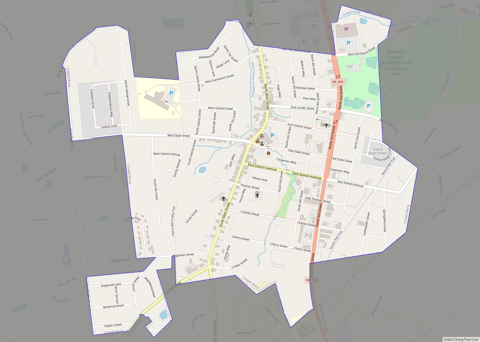
Online Interactive Map
Click on ![]() to view map in "full screen" mode.
to view map in "full screen" mode.
Stiles location map. Where is Stiles CDP?
Stiles Road Map
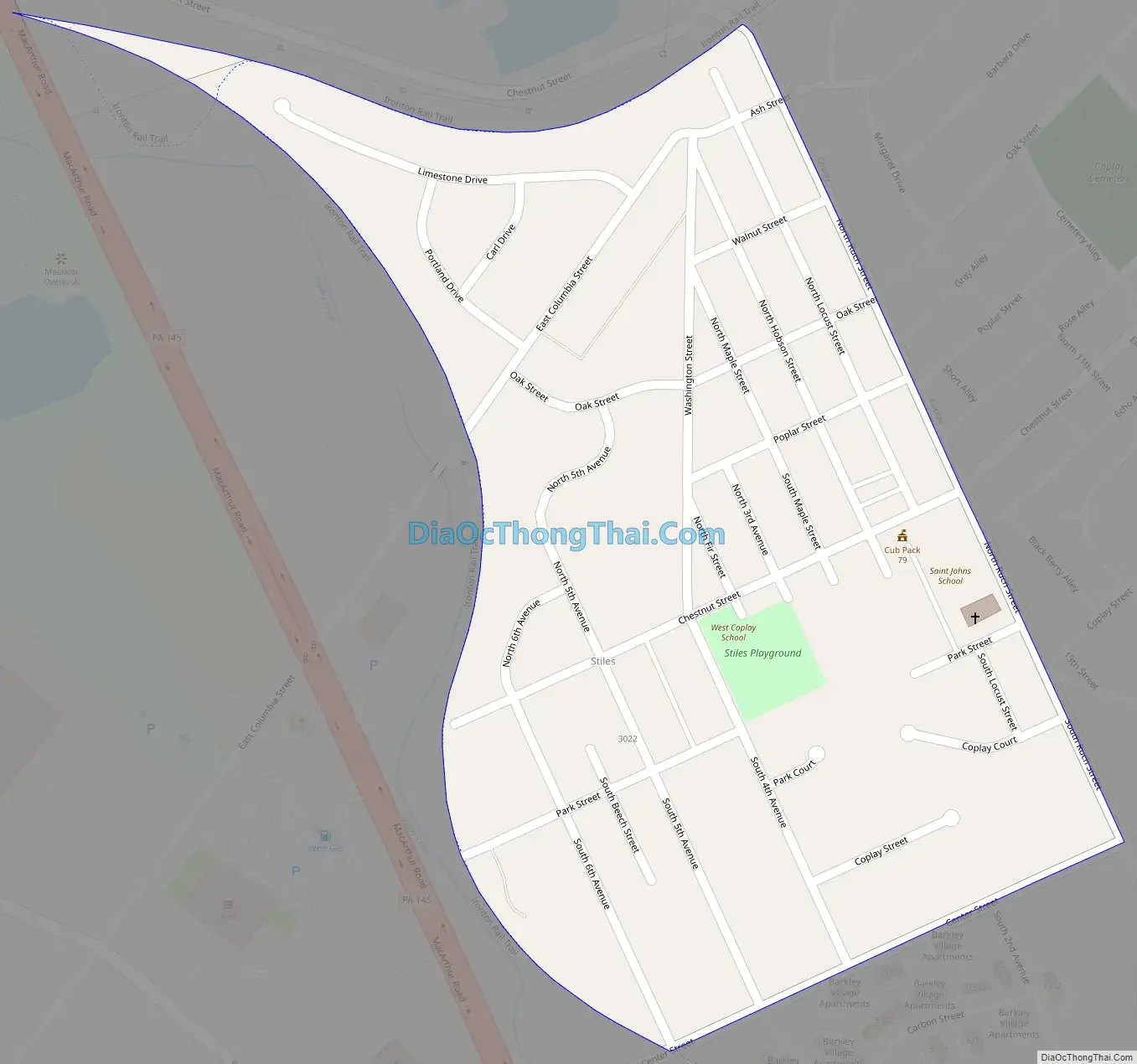
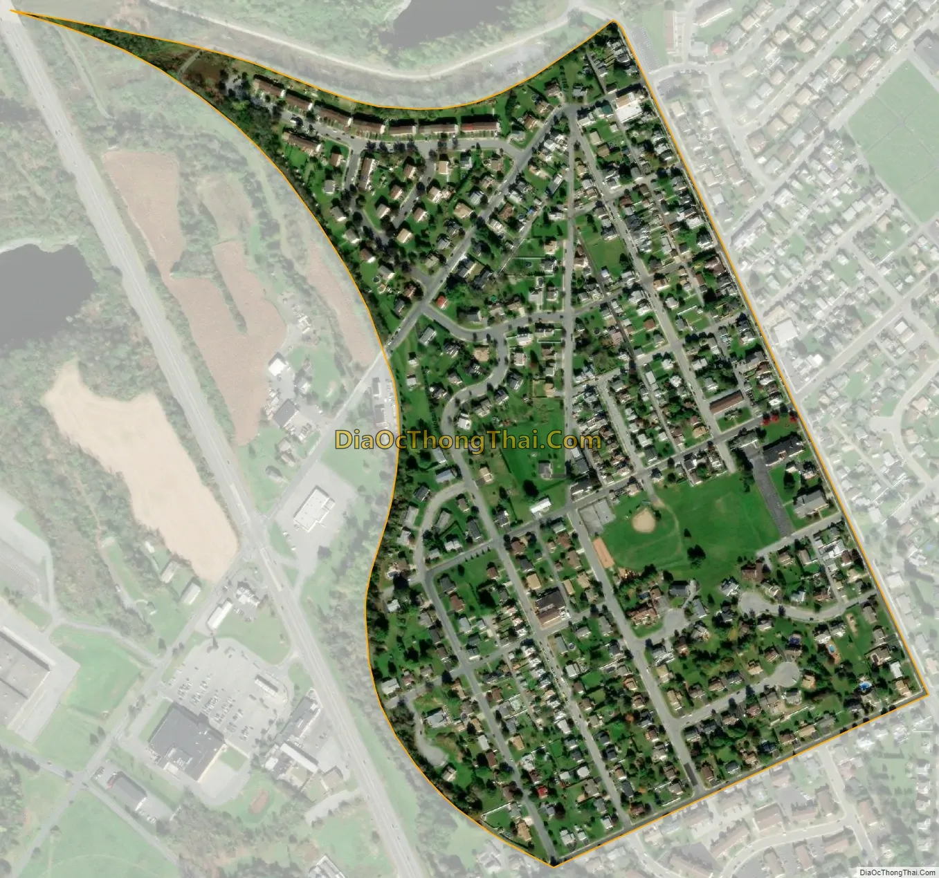
Stiles city Satellite Map
Geography
Stiles is in eastern Lehigh County in central Whitehall Township. It is bordered to the east by the borough of Coplay and to the south by unincorporated Hokendauqua. Pennsylvania Route 145 passes just west of Stiles, leading south 5 miles (8 km) to the center of Allentown and north 10 miles (16 km) to Walnutport. Coplay Creek forms the western boundary of Stiles and flows southeast into the Lehigh River.
According to the U.S. Census Bureau, Stiles has a total area of 0.22 square miles (0.56 km), of which 2,219 square metres (0.5 acres), or 0.40%, are water.
See also
Map of Pennsylvania State and its subdivision:- Adams
- Allegheny
- Armstrong
- Beaver
- Bedford
- Berks
- Blair
- Bradford
- Bucks
- Butler
- Cambria
- Cameron
- Carbon
- Centre
- Chester
- Clarion
- Clearfield
- Clinton
- Columbia
- Crawford
- Cumberland
- Dauphin
- Delaware
- Elk
- Erie
- Fayette
- Forest
- Franklin
- Fulton
- Greene
- Huntingdon
- Indiana
- Jefferson
- Juniata
- Lackawanna
- Lancaster
- Lawrence
- Lebanon
- Lehigh
- Luzerne
- Lycoming
- Mc Kean
- Mercer
- Mifflin
- Monroe
- Montgomery
- Montour
- Northampton
- Northumberland
- Perry
- Philadelphia
- Pike
- Potter
- Schuylkill
- Snyder
- Somerset
- Sullivan
- Susquehanna
- Tioga
- Union
- Venango
- Warren
- Washington
- Wayne
- Westmoreland
- Wyoming
- York
- Alabama
- Alaska
- Arizona
- Arkansas
- California
- Colorado
- Connecticut
- Delaware
- District of Columbia
- Florida
- Georgia
- Hawaii
- Idaho
- Illinois
- Indiana
- Iowa
- Kansas
- Kentucky
- Louisiana
- Maine
- Maryland
- Massachusetts
- Michigan
- Minnesota
- Mississippi
- Missouri
- Montana
- Nebraska
- Nevada
- New Hampshire
- New Jersey
- New Mexico
- New York
- North Carolina
- North Dakota
- Ohio
- Oklahoma
- Oregon
- Pennsylvania
- Rhode Island
- South Carolina
- South Dakota
- Tennessee
- Texas
- Utah
- Vermont
- Virginia
- Washington
- West Virginia
- Wisconsin
- Wyoming