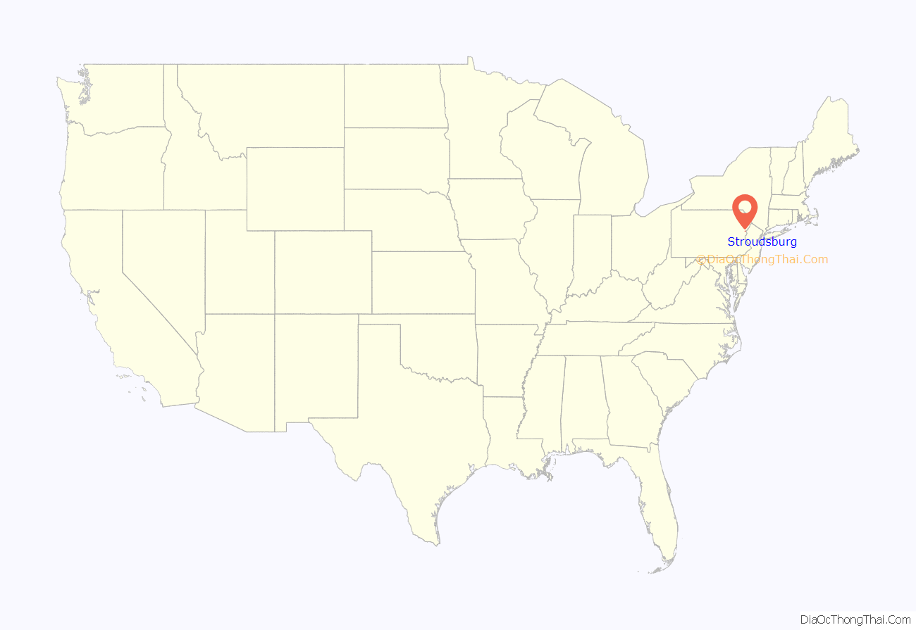
Stroudsburg is a borough in Monroe County, Pennsylvania, United States. It lies within the Poconos region approximately five miles (8 km) from the Delaware Water Gap at the confluence of Brodhead Creek, McMichaels, and Pocono Creeks in Northeastern Pennsylvania. It is also the county seat of Monroe County. Stroudsburg is part of the East Stroudsburg, PA Metropolitan Statistical Area, which in turn is part of the New York combined statistical area. The population was 5,927 at the 2020 census.
Stroudsburg is 39.8 miles (64.1 km) northeast of Allentown and 75.5 miles (121.5 km) northwest of New York City.
| Name: | Stroudsburg borough |
|---|---|
| LSAD Code: | 21 |
| LSAD Description: | borough (suffix) |
| State: | Pennsylvania |
| County: | Monroe County |
| Elevation: | 509 ft (155 m) |
| Total Area: | 1.74 sq mi (4.51 km²) |
| Land Area: | 1.73 sq mi (4.47 km²) |
| Water Area: | 0.02 sq mi (0.04 km²) |
| Total Population: | 5,927 |
| Population Density: | 3,435.94/sq mi (1,326.91/km²) |
| ZIP code: | 18360 |
| Area code: | 570 and 272 |
| FIPS code: | 4274888 |
| Website: | http://stroudsburgboro.com |
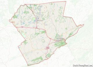
Online Interactive Map
Click on ![]() to view map in "full screen" mode.
to view map in "full screen" mode.
Stroudsburg location map. Where is Stroudsburg borough?
History
Stroudsburg was laid out by Colonel Jacob Stroud in 1799. Stroud’s family founded Stroudsburg in the mid-1700s.
The Academy Hill Historic District, Kitson Woolen Mill, Monroe County Courthouse, and Stroud Mansion are listed on the National Register of Historic Places.
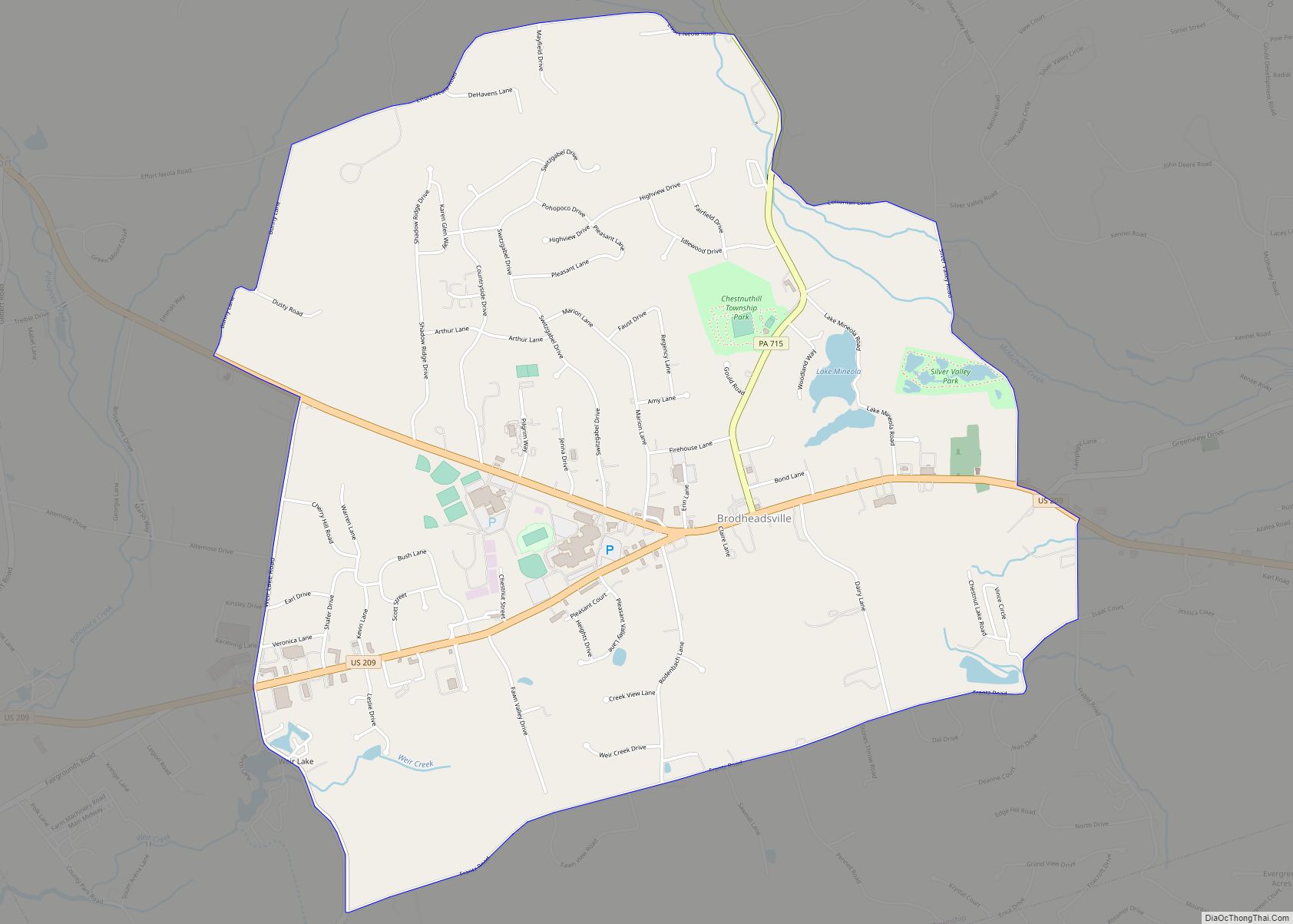
Stroudsburg Road Map
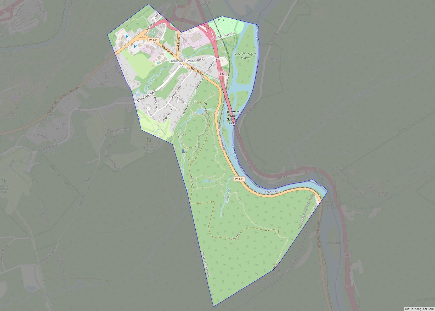
Stroudsburg city Satellite Map
Geography
Stroudsburg is located at 40°59′9″N 75°11′43″W / 40.98583°N 75.19528°W / 40.98583; -75.19528 (40.985764, -75.195352).
According to the U.S. Census Bureau, the borough has a total area of 1.8 square miles (4.7 km), of which 1.8 square miles (4.6 km) is land and 0.04 square mile (0.1 km) (1.67%) is water.
Stroudsburg is located 38 miles (61 km) north of Allentown and 53 miles (85 km) southeast of Scranton. Stroudsburg’s elevation is 500 feet (150 m) above sea level.
Stroudsburg is located in the heart of the Pocono Mountains and serves as the Monroe County seat.
Downtown
Downtown Stroudsburg is the commercial hub for the surrounding area, serving as the Monroe County seat, and is located just off Interstate 80. It is the only traditional downtown in the area. Downtown Stroudsburg is anchored by Dunkelberger’s Sports Outfitters and is also home to more than 24 restaurants, nine art galleries, three women’s clothing stores, numerous antique stores, several general merchandisers, many specialty shops, two hotels, the local YMCA, 11 financial institutions and the core of the legal profession in Monroe County. There are 600 hotel rooms within 2 miles (3.2 km) of Downtown Stroudsburg. Downtown Stroudsburg also features a wide tree lined Main Street with historically rich architecture, plenty of on street parking, several municipal parking lots, one parking garage and another on the drawing board. Currently the total trade area population is about 250,000. This includes all of Monroe and Pike Counties, as well as northern Northampton County and Warren County, New Jersey.
Downtown Stroudsburg is the anchor for the more modern shopping centers that are being built around the area, wanting to be in or near the historic downtown. Businesses include: The Sherman Theater and regional performing arts Center, the MCAC Community Cultural Center, the Monroe County Historical Association, the Pocono Mountains Vacation Bureau, the East Stroudsburg University business accelerator, the Pocono Family YMCA, the US Post Office, the Monroe County Courthouse, the Monroe County Administration Center, the largest regional police force in Pennsylvania, and the Pocono Mountains Chamber of Commerce.
Downtown
Courthouse
Restaurant district
See also
Map of Pennsylvania State and its subdivision:- Adams
- Allegheny
- Armstrong
- Beaver
- Bedford
- Berks
- Blair
- Bradford
- Bucks
- Butler
- Cambria
- Cameron
- Carbon
- Centre
- Chester
- Clarion
- Clearfield
- Clinton
- Columbia
- Crawford
- Cumberland
- Dauphin
- Delaware
- Elk
- Erie
- Fayette
- Forest
- Franklin
- Fulton
- Greene
- Huntingdon
- Indiana
- Jefferson
- Juniata
- Lackawanna
- Lancaster
- Lawrence
- Lebanon
- Lehigh
- Luzerne
- Lycoming
- Mc Kean
- Mercer
- Mifflin
- Monroe
- Montgomery
- Montour
- Northampton
- Northumberland
- Perry
- Philadelphia
- Pike
- Potter
- Schuylkill
- Snyder
- Somerset
- Sullivan
- Susquehanna
- Tioga
- Union
- Venango
- Warren
- Washington
- Wayne
- Westmoreland
- Wyoming
- York
- Alabama
- Alaska
- Arizona
- Arkansas
- California
- Colorado
- Connecticut
- Delaware
- District of Columbia
- Florida
- Georgia
- Hawaii
- Idaho
- Illinois
- Indiana
- Iowa
- Kansas
- Kentucky
- Louisiana
- Maine
- Maryland
- Massachusetts
- Michigan
- Minnesota
- Mississippi
- Missouri
- Montana
- Nebraska
- Nevada
- New Hampshire
- New Jersey
- New Mexico
- New York
- North Carolina
- North Dakota
- Ohio
- Oklahoma
- Oregon
- Pennsylvania
- Rhode Island
- South Carolina
- South Dakota
- Tennessee
- Texas
- Utah
- Vermont
- Virginia
- Washington
- West Virginia
- Wisconsin
- Wyoming
