Trucksville is a census-designated place (CDP) in Kingston Township, Luzerne County, Pennsylvania, United States. The population was 2,152 at the 2010 census.
| Name: | Trucksville CDP |
|---|---|
| LSAD Code: | 57 |
| LSAD Description: | CDP (suffix) |
| State: | Pennsylvania |
| County: | Luzerne County |
| Total Area: | 1.7 sq mi (4.5 km²) |
| Land Area: | 1.7 sq mi (4.5 km²) |
| Water Area: | 0 sq mi (0 km²) |
| Total Population: | 2,152 |
| Population Density: | 1,200/sq mi (480/km²) |
| ZIP code: | 18708 |
| Area code: | 570 |
| FIPS code: | 4277656 |
Online Interactive Map
Click on ![]() to view map in "full screen" mode.
to view map in "full screen" mode.
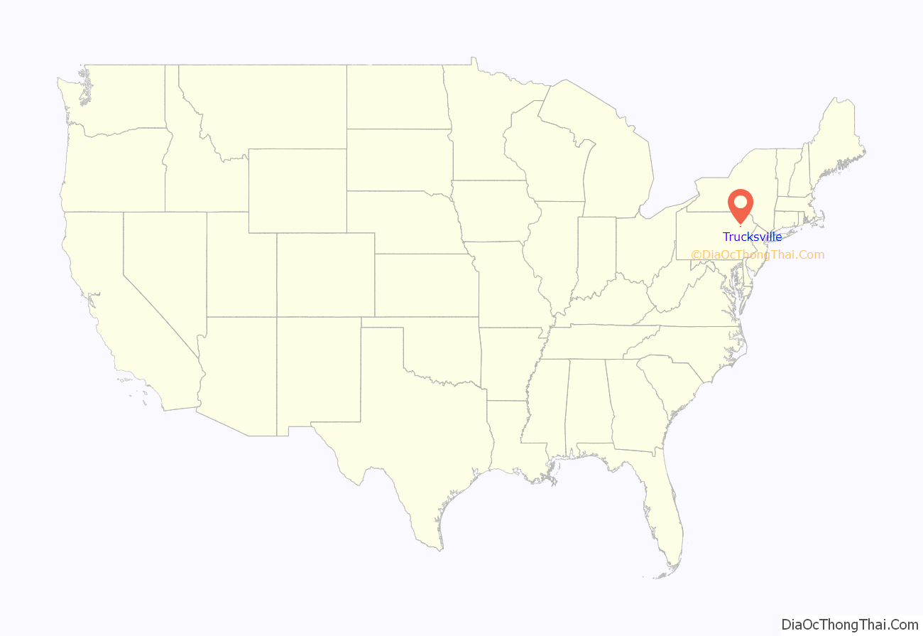
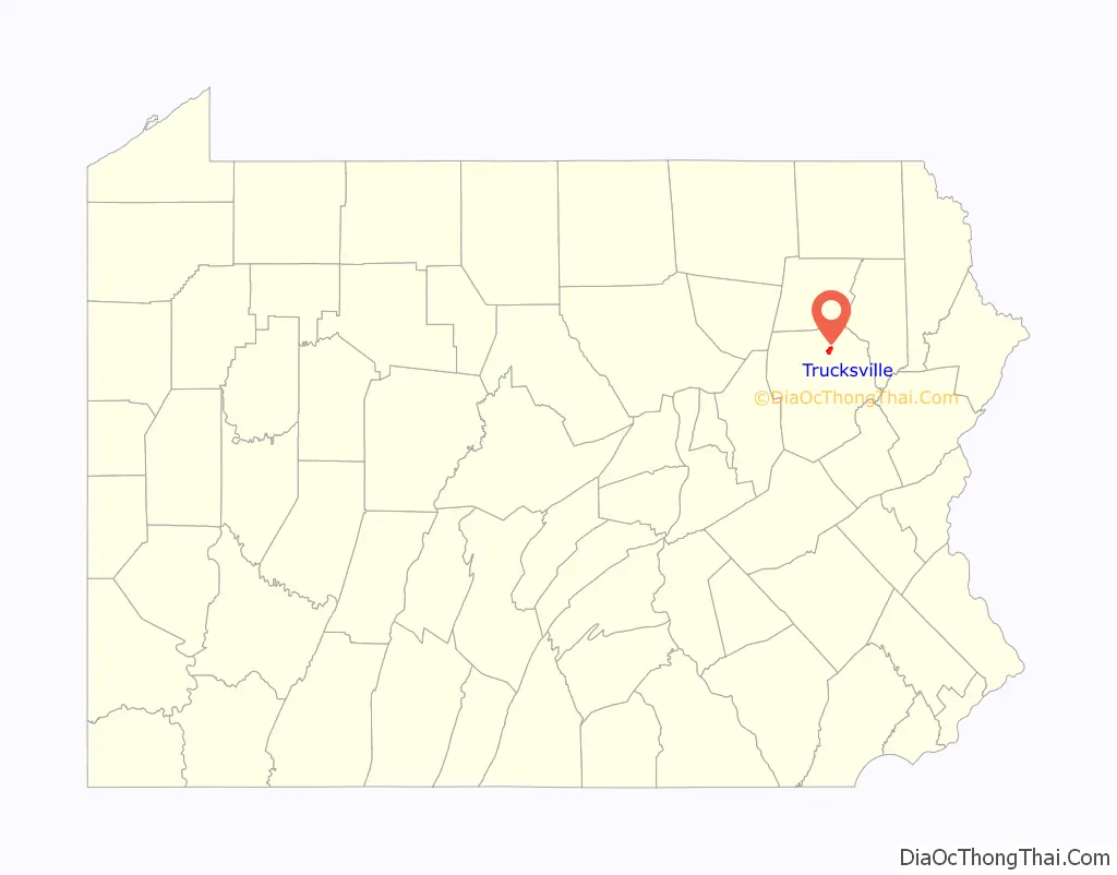
Trucksville location map. Where is Trucksville CDP?
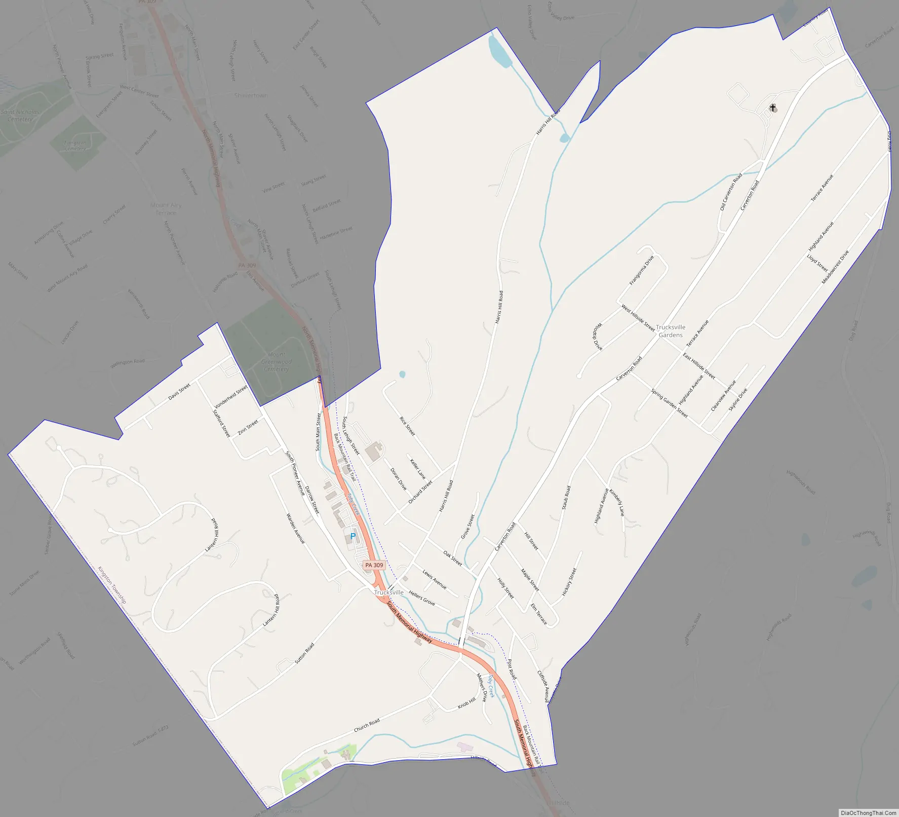
Trucksville Road Map
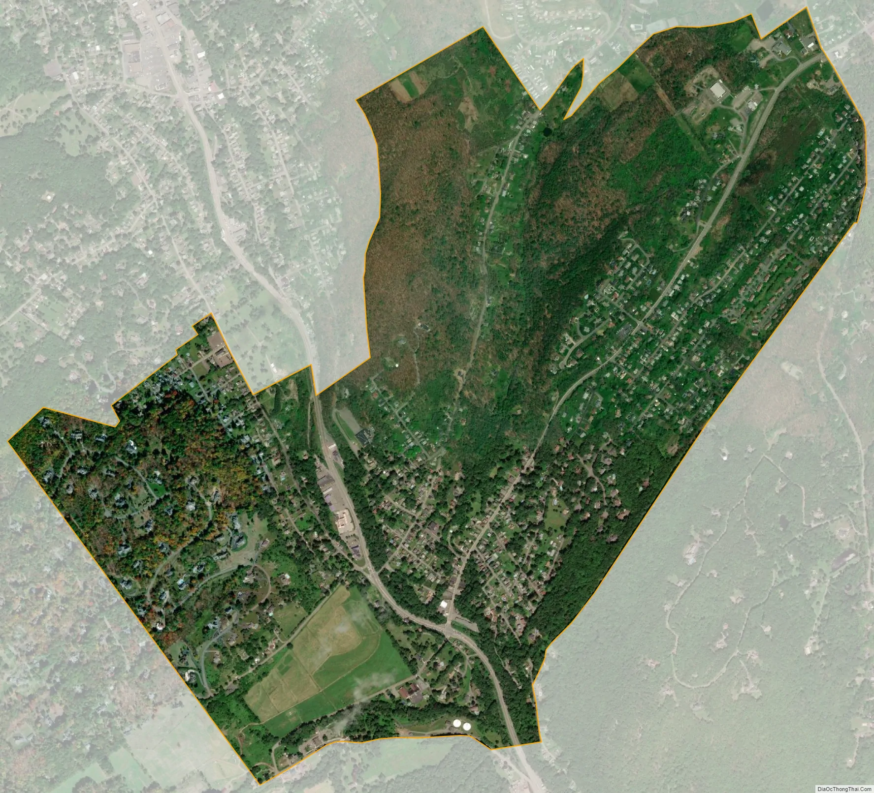
Trucksville city Satellite Map
Geography
Trucksville is located at 41°18′14″N 75°55′55″W / 41.30389°N 75.93194°W / 41.30389; -75.93194, along Pennsylvania Route 309 in the western part of Kingston Township. It is located directly south of the CDP of Shavertown and 3 miles (5 km) north of the borough of Kingston. Trucksville is served by the Shavertown post office, with the zip code of 18708. [1]
According to the United States Census Bureau, the CDP has a total area of 1.7 square miles (4.5 km), all land.
The village is the site of the Lands at Hillside Farms, a popular small dairy store planned to expand into a major U.S. attraction the likes of Williamsburg, Virginia. The town has a volunteer fire department, a Methodist church, and a popular pizza place established in 1975. Trucksville is named for the town’s founder, William Trucks (Trux), who operated a sawmill in the 19th century.
See also
Map of Pennsylvania State and its subdivision:- Adams
- Allegheny
- Armstrong
- Beaver
- Bedford
- Berks
- Blair
- Bradford
- Bucks
- Butler
- Cambria
- Cameron
- Carbon
- Centre
- Chester
- Clarion
- Clearfield
- Clinton
- Columbia
- Crawford
- Cumberland
- Dauphin
- Delaware
- Elk
- Erie
- Fayette
- Forest
- Franklin
- Fulton
- Greene
- Huntingdon
- Indiana
- Jefferson
- Juniata
- Lackawanna
- Lancaster
- Lawrence
- Lebanon
- Lehigh
- Luzerne
- Lycoming
- Mc Kean
- Mercer
- Mifflin
- Monroe
- Montgomery
- Montour
- Northampton
- Northumberland
- Perry
- Philadelphia
- Pike
- Potter
- Schuylkill
- Snyder
- Somerset
- Sullivan
- Susquehanna
- Tioga
- Union
- Venango
- Warren
- Washington
- Wayne
- Westmoreland
- Wyoming
- York
- Alabama
- Alaska
- Arizona
- Arkansas
- California
- Colorado
- Connecticut
- Delaware
- District of Columbia
- Florida
- Georgia
- Hawaii
- Idaho
- Illinois
- Indiana
- Iowa
- Kansas
- Kentucky
- Louisiana
- Maine
- Maryland
- Massachusetts
- Michigan
- Minnesota
- Mississippi
- Missouri
- Montana
- Nebraska
- Nevada
- New Hampshire
- New Jersey
- New Mexico
- New York
- North Carolina
- North Dakota
- Ohio
- Oklahoma
- Oregon
- Pennsylvania
- Rhode Island
- South Carolina
- South Dakota
- Tennessee
- Texas
- Utah
- Vermont
- Virginia
- Washington
- West Virginia
- Wisconsin
- Wyoming


