Wayne Heights is a census-designated place (CDP) in Franklin County, Pennsylvania, United States. The population was 2,606 at the 2020 census.
| Name: | Wayne Heights CDP |
|---|---|
| LSAD Code: | 57 |
| LSAD Description: | CDP (suffix) |
| State: | Pennsylvania |
| County: | Franklin County |
| Elevation: | 640 ft (200 m) |
| Total Area: | 2.1 sq mi (5.5 km²) |
| Land Area: | 2.1 sq mi (5.5 km²) |
| Water Area: | 0.0 sq mi (0.0 km²) |
| Total Population: | 2,606 |
| Population Density: | 1,193/sq mi (460.7/km²) |
| ZIP code: | 17268 |
| FIPS code: | 4281808 |
| GNISfeature ID: | 1190713 |
Online Interactive Map
Click on ![]() to view map in "full screen" mode.
to view map in "full screen" mode.
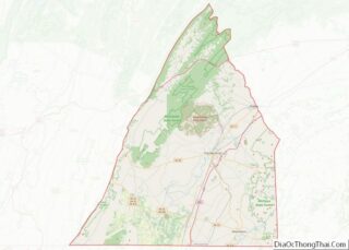
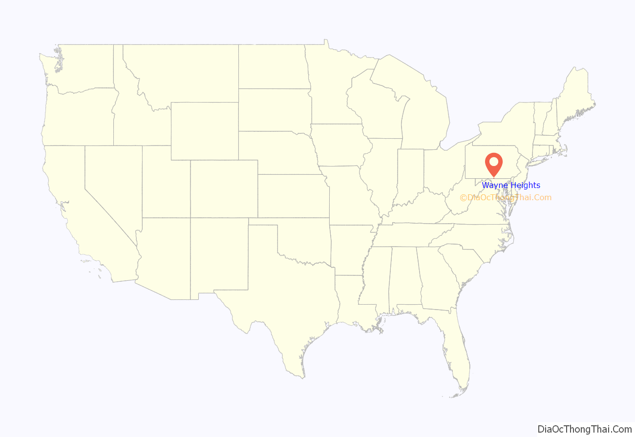
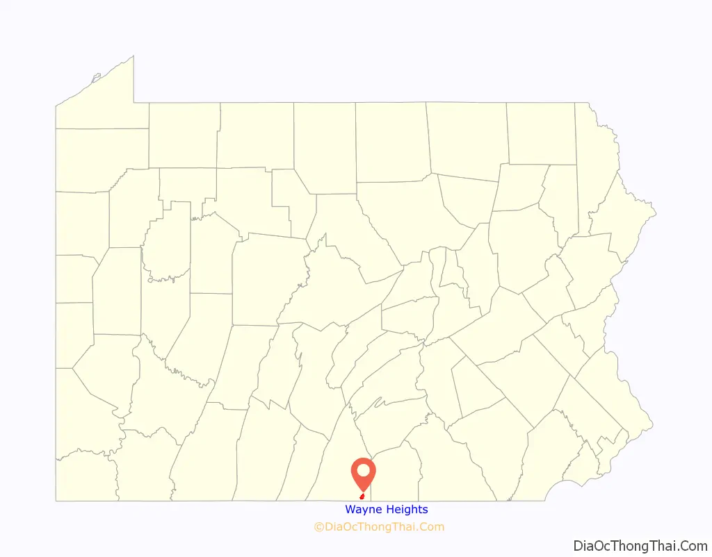
Wayne Heights location map. Where is Wayne Heights CDP?
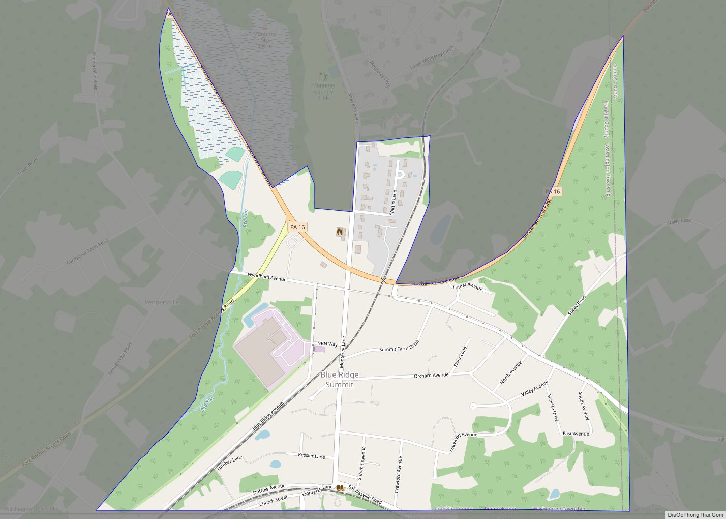
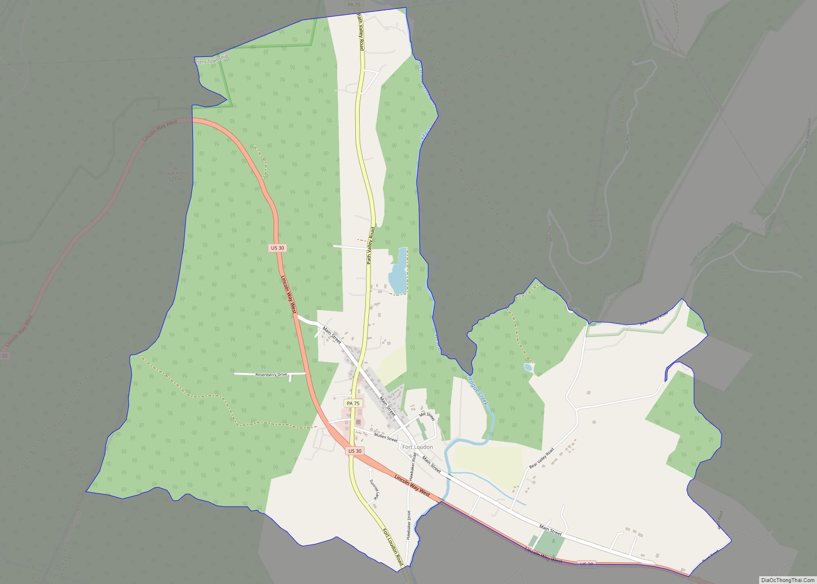
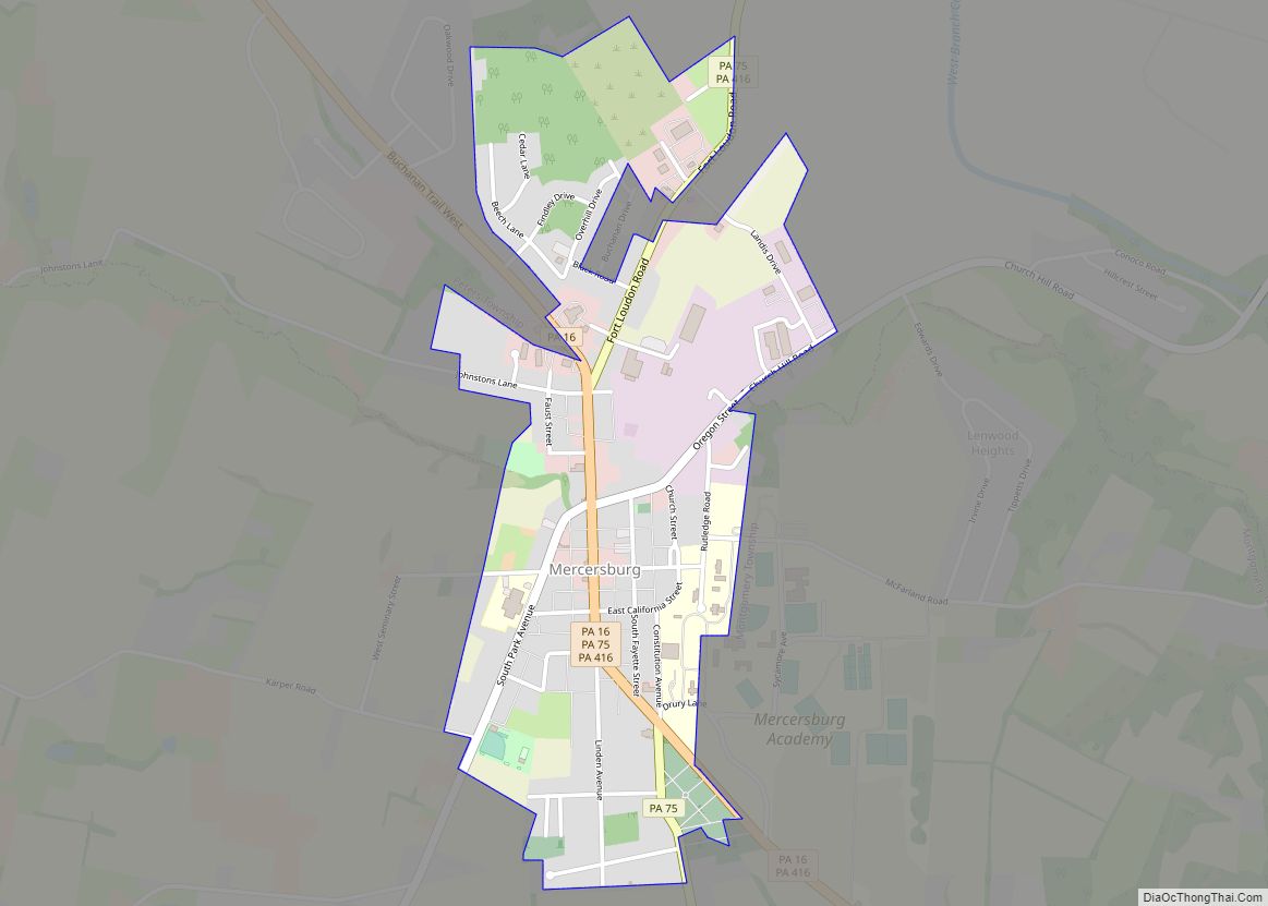
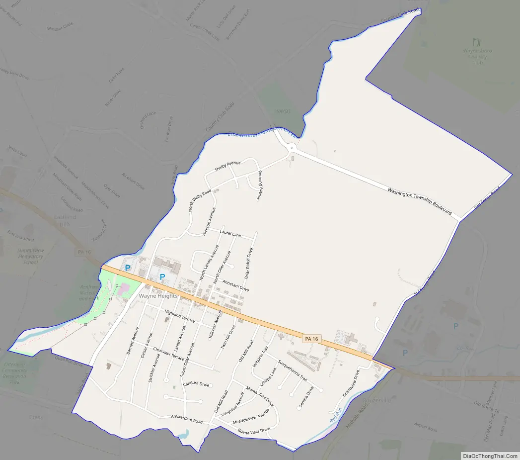
Wayne Heights Road Map
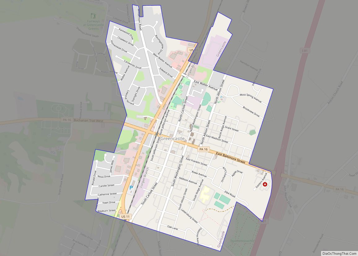
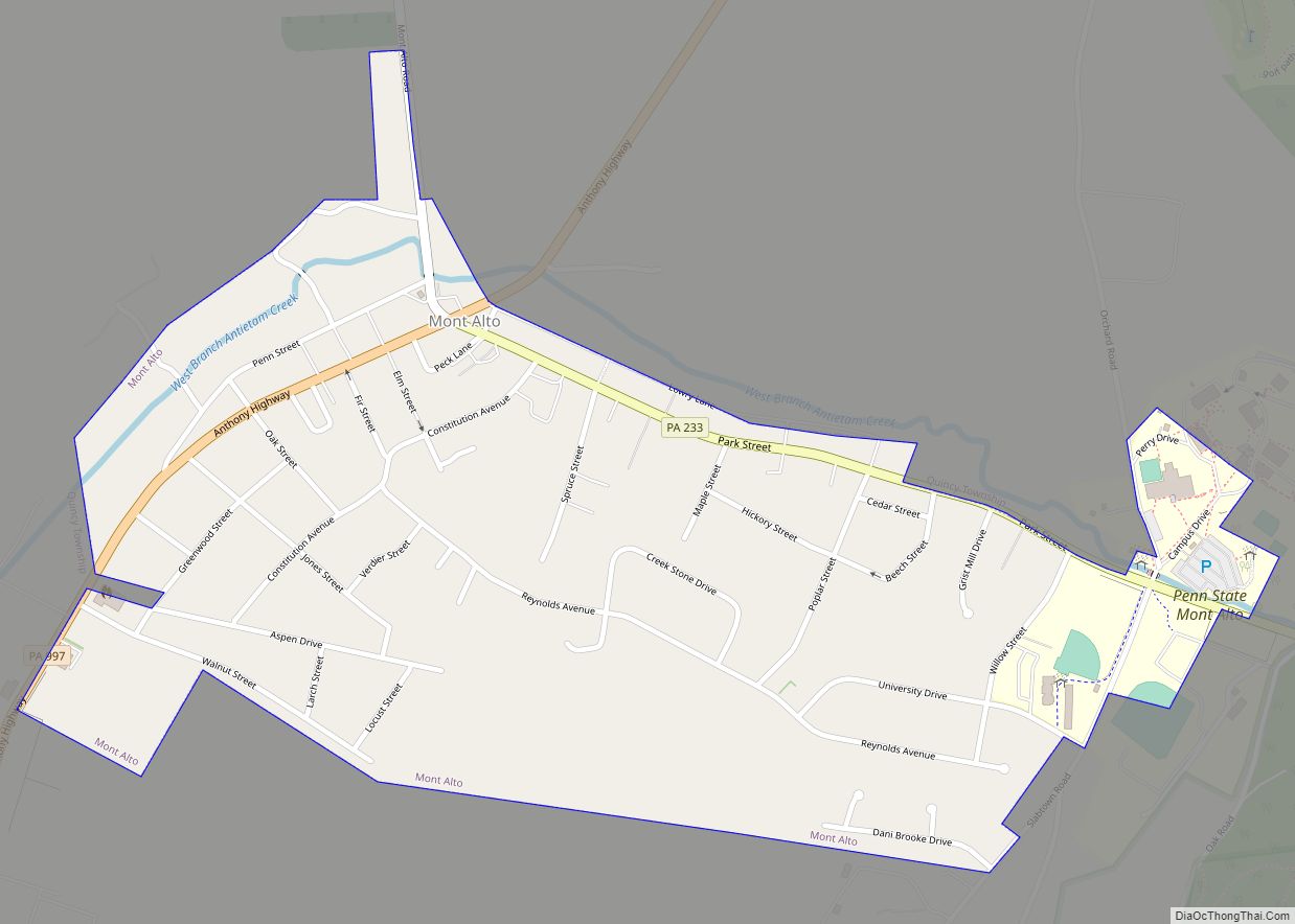
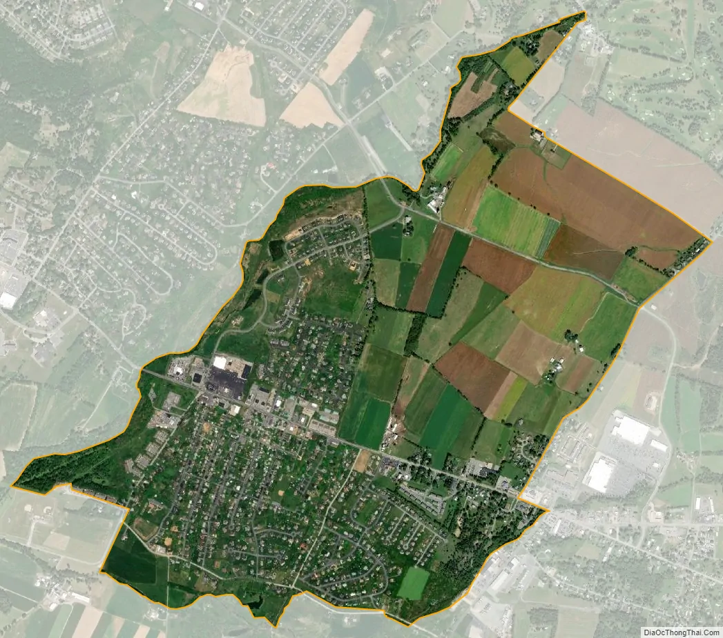
Wayne Heights city Satellite Map
Geography
Wayne Heights is located in southeastern Franklin County at 39°44′26″N 77°33′5″W / 39.74056°N 77.55139°W / 39.74056; -77.55139 (39.740619, -77.551421), east of the center of Washington Township. It is bordered to the west by the borough of Waynesboro and to the east by the community of Rouzerville.
Pennsylvania Route 16 is Main Street through Wayne Heights, leading west through Waynesboro 10 miles (16 km) to Greencastle, and east 5 miles (8 km) to Blue Ridge Summit.
According to the United States Census Bureau, the CDP has a total area of 2.1 square miles (5.5 km), all land.
See also
Map of Pennsylvania State and its subdivision:- Adams
- Allegheny
- Armstrong
- Beaver
- Bedford
- Berks
- Blair
- Bradford
- Bucks
- Butler
- Cambria
- Cameron
- Carbon
- Centre
- Chester
- Clarion
- Clearfield
- Clinton
- Columbia
- Crawford
- Cumberland
- Dauphin
- Delaware
- Elk
- Erie
- Fayette
- Forest
- Franklin
- Fulton
- Greene
- Huntingdon
- Indiana
- Jefferson
- Juniata
- Lackawanna
- Lancaster
- Lawrence
- Lebanon
- Lehigh
- Luzerne
- Lycoming
- Mc Kean
- Mercer
- Mifflin
- Monroe
- Montgomery
- Montour
- Northampton
- Northumberland
- Perry
- Philadelphia
- Pike
- Potter
- Schuylkill
- Snyder
- Somerset
- Sullivan
- Susquehanna
- Tioga
- Union
- Venango
- Warren
- Washington
- Wayne
- Westmoreland
- Wyoming
- York
- Alabama
- Alaska
- Arizona
- Arkansas
- California
- Colorado
- Connecticut
- Delaware
- District of Columbia
- Florida
- Georgia
- Hawaii
- Idaho
- Illinois
- Indiana
- Iowa
- Kansas
- Kentucky
- Louisiana
- Maine
- Maryland
- Massachusetts
- Michigan
- Minnesota
- Mississippi
- Missouri
- Montana
- Nebraska
- Nevada
- New Hampshire
- New Jersey
- New Mexico
- New York
- North Carolina
- North Dakota
- Ohio
- Oklahoma
- Oregon
- Pennsylvania
- Rhode Island
- South Carolina
- South Dakota
- Tennessee
- Texas
- Utah
- Vermont
- Virginia
- Washington
- West Virginia
- Wisconsin
- Wyoming