Wellsboro is a borough in Tioga County, Pennsylvania. The borough was founded by Benjamin Wistar Morris. It is located 52 miles (84 km) northwest of Williamsport. The population was 3,472 at the 2020 census.
Early in the 20th century, Wellsboro was the shipping point and trade center for a large area. It had fruit evaporators, flour and woolen mills, a milk-condensing plant, marble works, saw mills, foundry and machine shops, and manufactories of cut glass, chemicals, rugs, bolts, cigars, carriages, and furniture. In 1900, 2,945 people lived here; in 1910, 3,183 lived here. It is the county seat of Tioga County, and also home to the Grand Canyon of Pennsylvania. It is a local tourist destination known for its iconic gas lamps that are spaced through the grass median of Main Street.
| Name: | Wellsboro borough |
|---|---|
| LSAD Code: | 21 |
| LSAD Description: | borough (suffix) |
| State: | Pennsylvania |
| County: | Tioga County |
| Elevation: | 1,306 ft (398 m) |
| Total Area: | 4.93 sq mi (12.77 km²) |
| Land Area: | 4.90 sq mi (12.70 km²) |
| Water Area: | 0.03 sq mi (0.07 km²) |
| Total Population: | 3,473 |
| Population Density: | 658.30/sq mi (254.15/km²) |
| ZIP code: | 16901 |
| Area code: | 570 |
| FIPS code: | 4282160 |
| Website: | www.wellsboroborough.com |
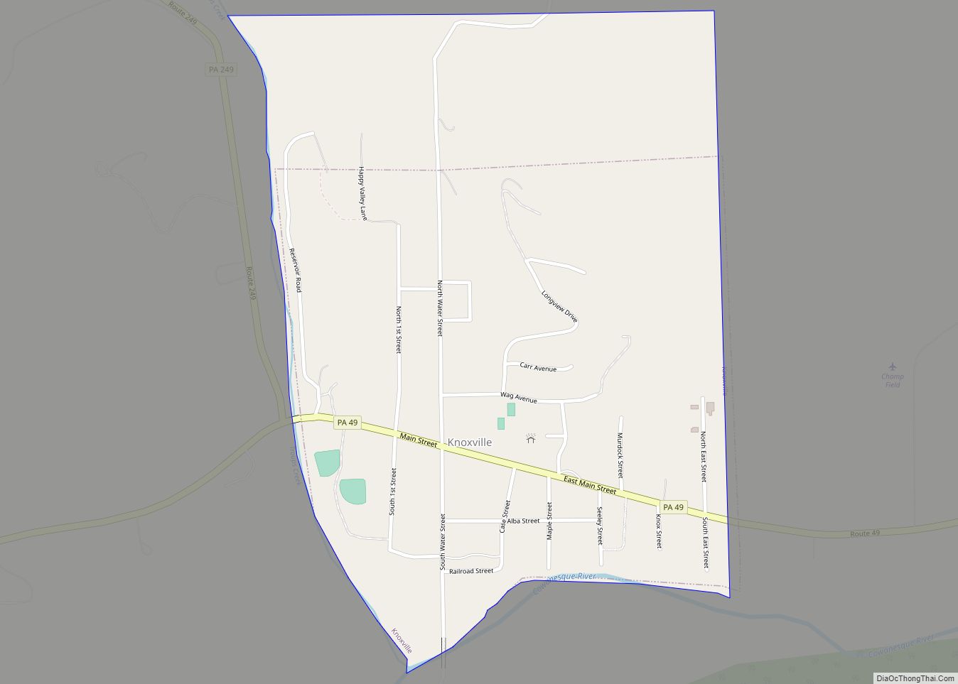
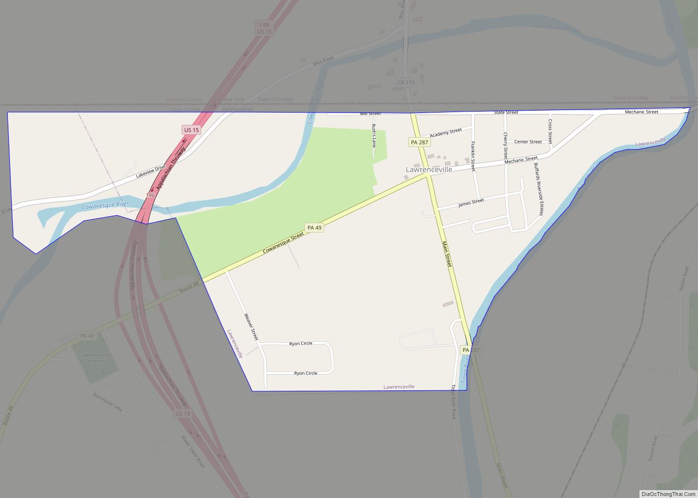
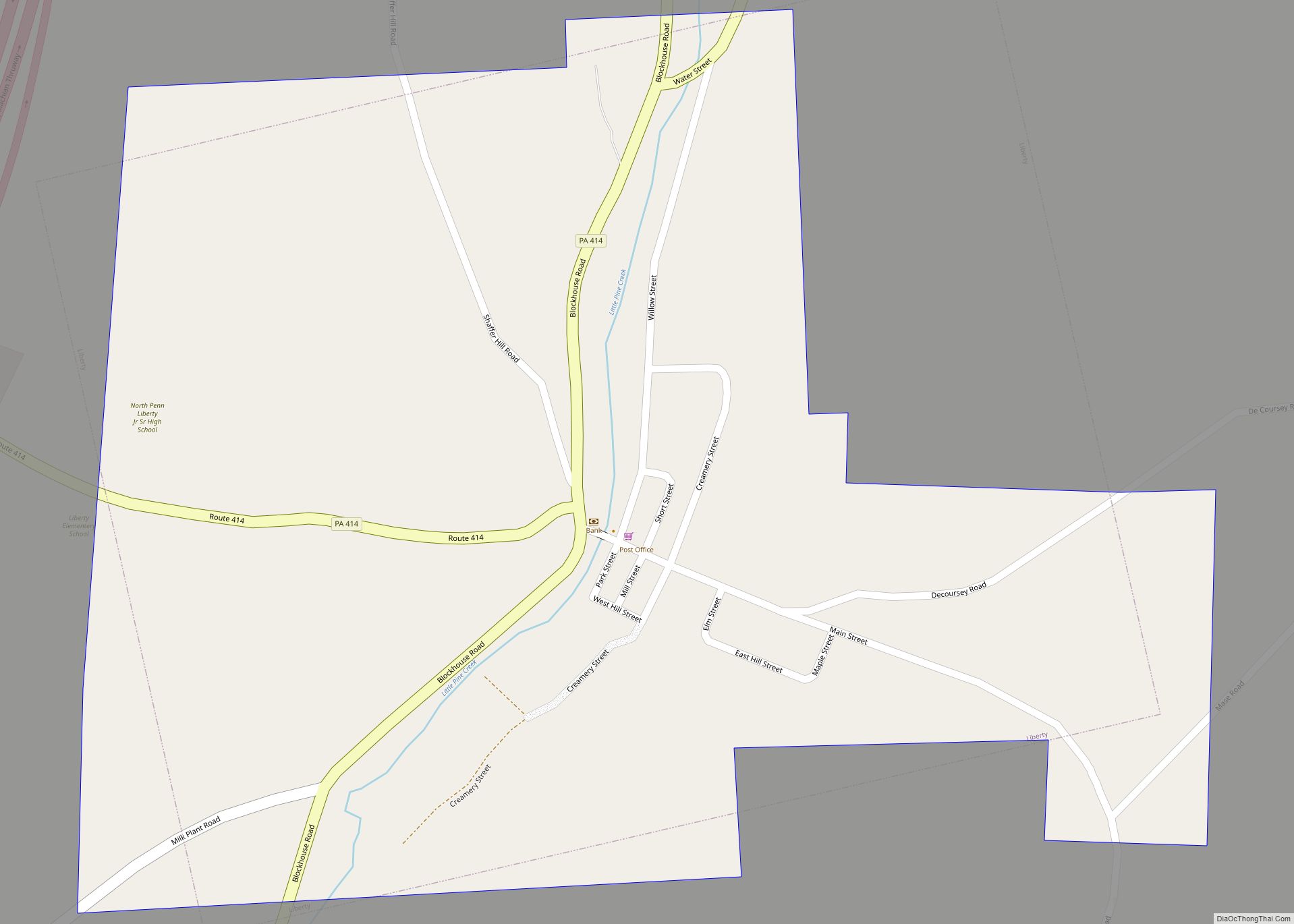
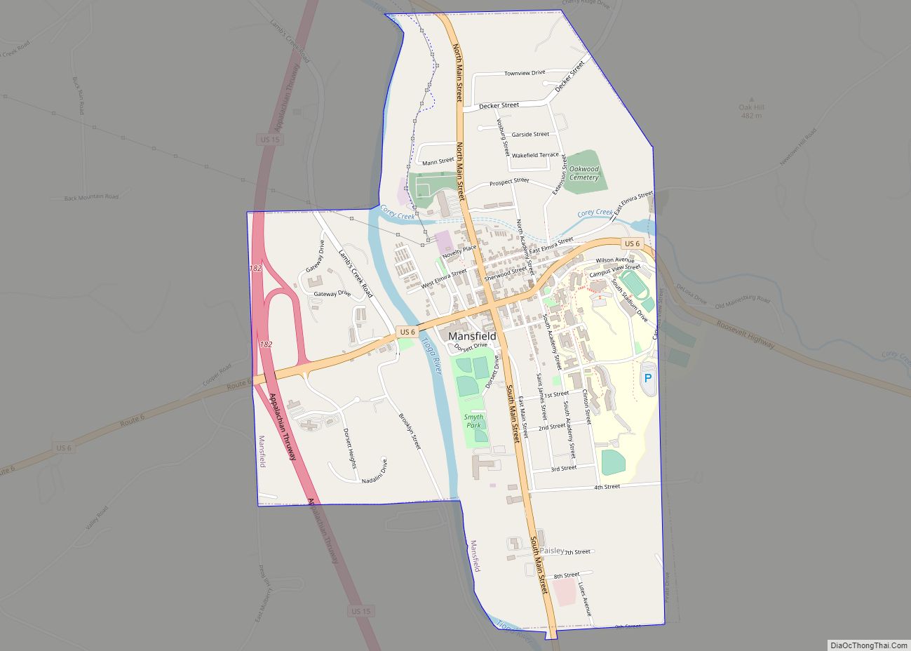
Online Interactive Map
Click on ![]() to view map in "full screen" mode.
to view map in "full screen" mode.
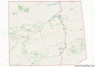
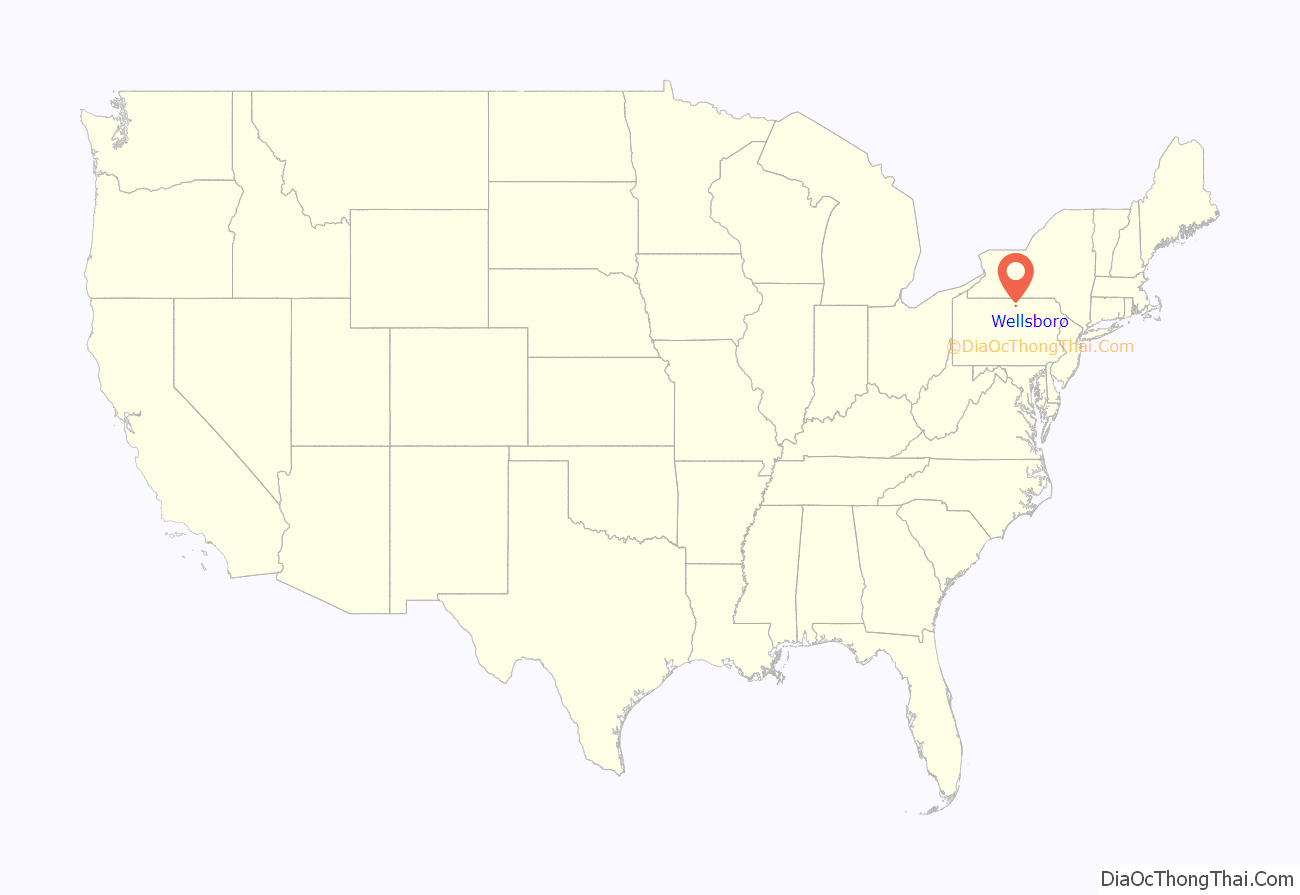
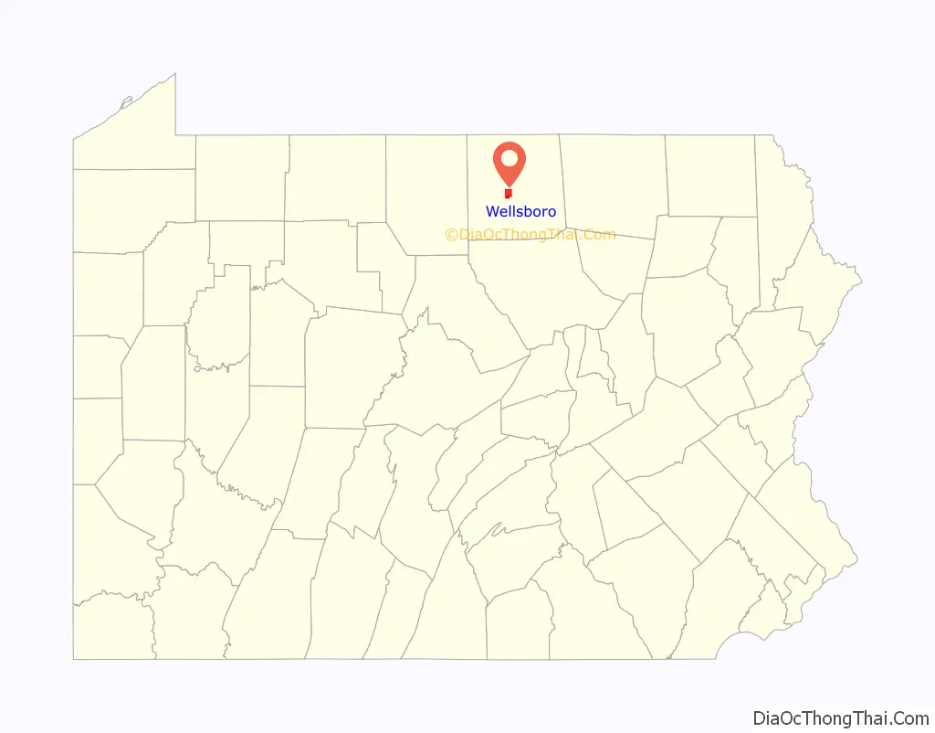
Wellsboro location map. Where is Wellsboro borough?
History
Wellsboro was settled in 1806 and incorporated in 1830 and was named in honor of Mary Wells, wife of one of the original settlers, Benjamin Wistar Morris. The town was the home of George W. Sears (1821 – 1890), a sportswriter for Field & Stream magazine in the 1880s and an early environmentalist. His stories, appearing under the pen name “Nessmuk”, popularised self-guided canoe camping tours of the Adirondack lakes in open lightweight solo canoes and what is today called ultralight camping. Wellsboro was also the site of one of the first factories where light bulbs were mass-produced, using machines whose design remains essentially unchanged from the early 20th century when the Corning company established the plant in the town.
The Robinson House, Jesse Robinson House, Wellsboro Armory, and Wellsboro Historic District are listed on the National Register of Historic Places.
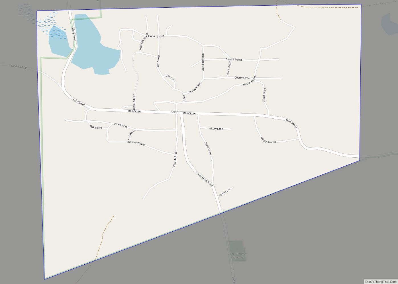
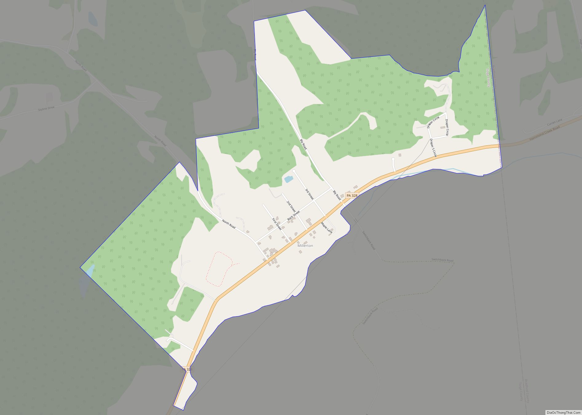
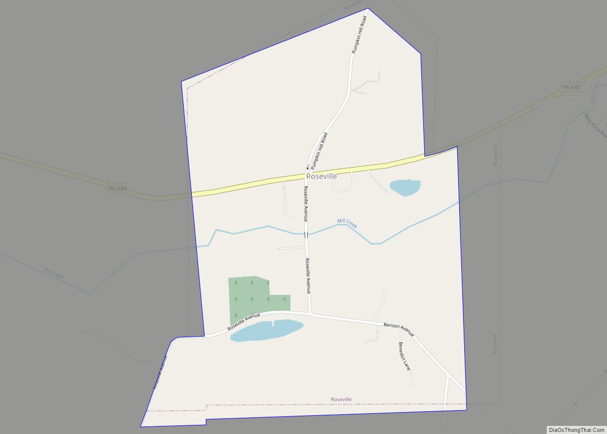
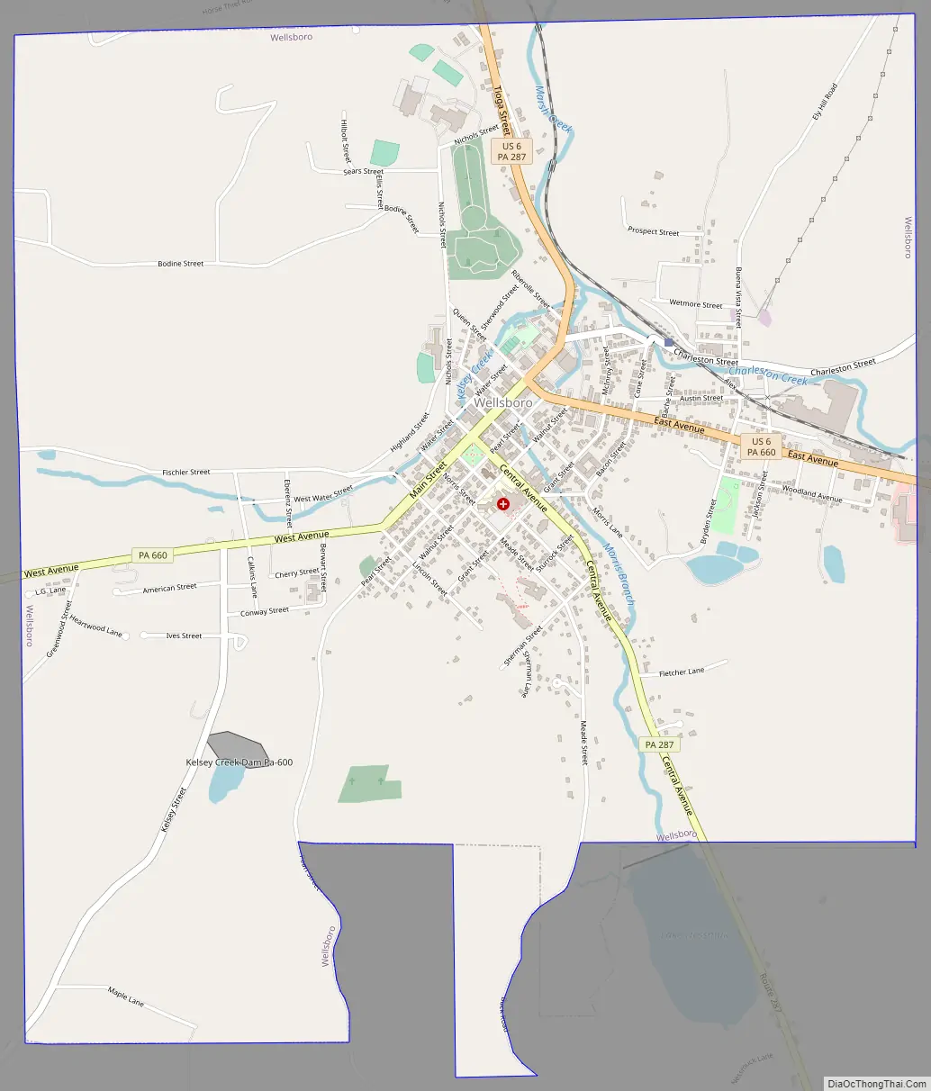
Wellsboro Road Map
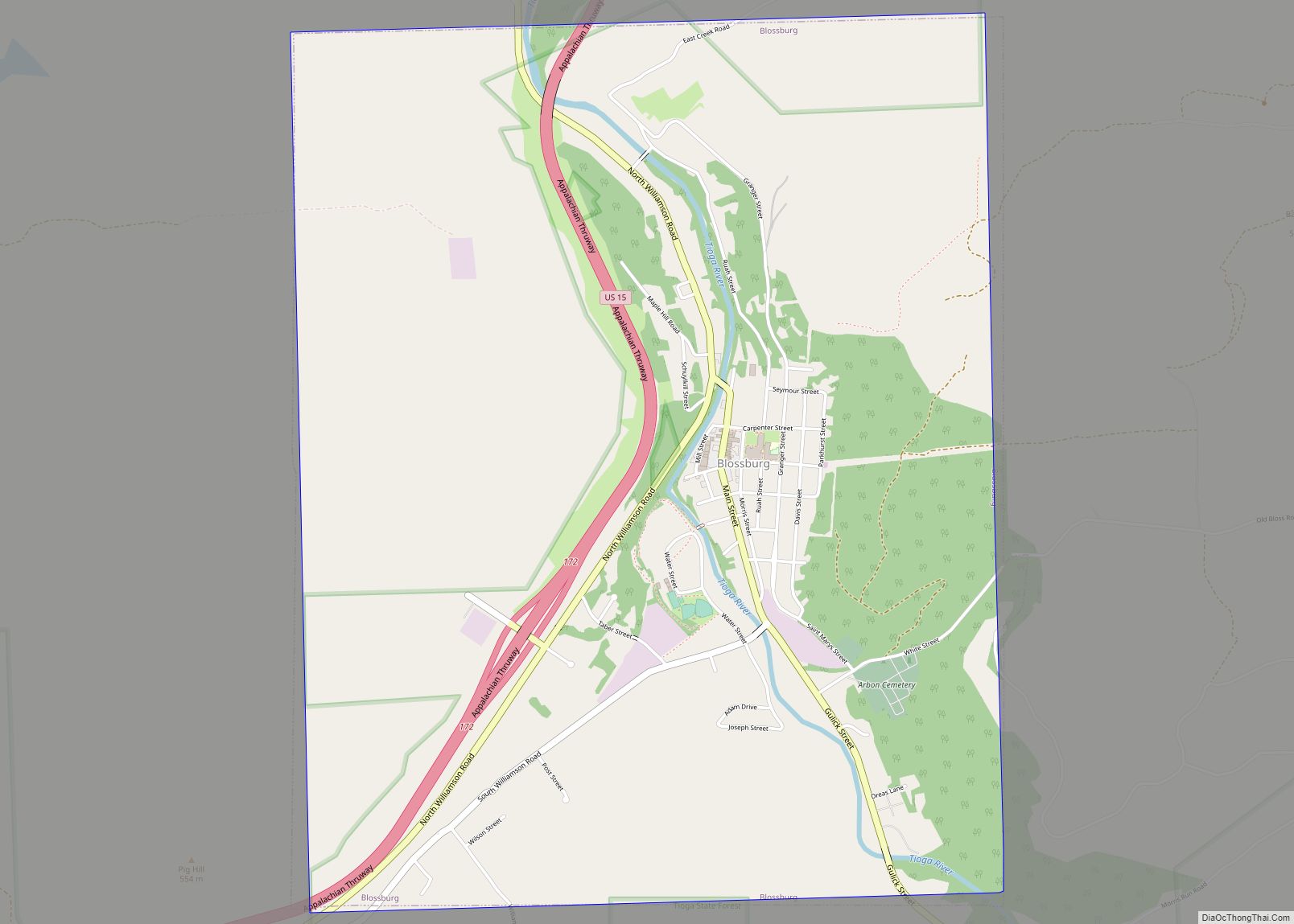
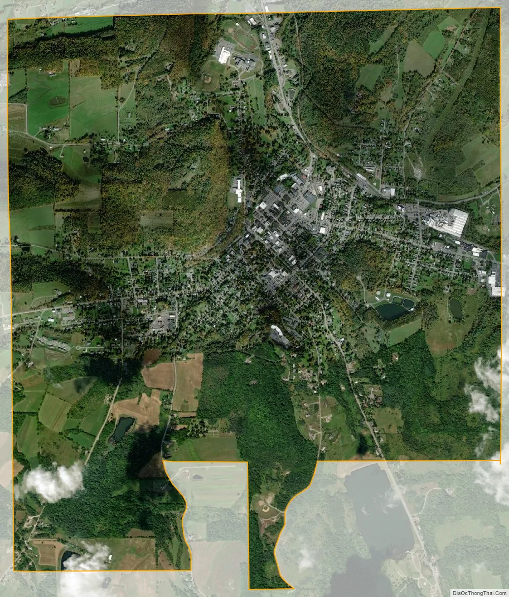
Wellsboro city Satellite Map
Geography
Wellsboro is located at 41°44′48″N 77°18′7″W / 41.74667°N 77.30194°W / 41.74667; -77.30194 (41.746794, -77.301881).
According to the U.S. Census Bureau, the borough has a total area of 4.9 square miles (13 km), of which 4.9 square miles (13 km) is land and 0.04 square miles (0.10 km) (0.61%) is water.
Climate
See also
Map of Pennsylvania State and its subdivision:- Adams
- Allegheny
- Armstrong
- Beaver
- Bedford
- Berks
- Blair
- Bradford
- Bucks
- Butler
- Cambria
- Cameron
- Carbon
- Centre
- Chester
- Clarion
- Clearfield
- Clinton
- Columbia
- Crawford
- Cumberland
- Dauphin
- Delaware
- Elk
- Erie
- Fayette
- Forest
- Franklin
- Fulton
- Greene
- Huntingdon
- Indiana
- Jefferson
- Juniata
- Lackawanna
- Lancaster
- Lawrence
- Lebanon
- Lehigh
- Luzerne
- Lycoming
- Mc Kean
- Mercer
- Mifflin
- Monroe
- Montgomery
- Montour
- Northampton
- Northumberland
- Perry
- Philadelphia
- Pike
- Potter
- Schuylkill
- Snyder
- Somerset
- Sullivan
- Susquehanna
- Tioga
- Union
- Venango
- Warren
- Washington
- Wayne
- Westmoreland
- Wyoming
- York
- Alabama
- Alaska
- Arizona
- Arkansas
- California
- Colorado
- Connecticut
- Delaware
- District of Columbia
- Florida
- Georgia
- Hawaii
- Idaho
- Illinois
- Indiana
- Iowa
- Kansas
- Kentucky
- Louisiana
- Maine
- Maryland
- Massachusetts
- Michigan
- Minnesota
- Mississippi
- Missouri
- Montana
- Nebraska
- Nevada
- New Hampshire
- New Jersey
- New Mexico
- New York
- North Carolina
- North Dakota
- Ohio
- Oklahoma
- Oregon
- Pennsylvania
- Rhode Island
- South Carolina
- South Dakota
- Tennessee
- Texas
- Utah
- Vermont
- Virginia
- Washington
- West Virginia
- Wisconsin
- Wyoming